Barton Stacey
Settlement in Hampshire Test Valley
England
Barton Stacey

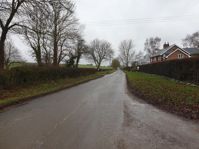
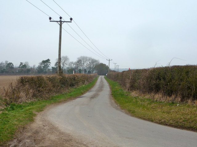
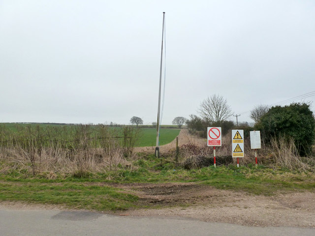
Barton Stacey is a small village located in the county of Hampshire, England. Situated approximately 8 miles north of the city of Winchester, it falls within the Test Valley district. The village is surrounded by picturesque countryside and is known for its rural charm and tranquil atmosphere.
Barton Stacey has a long history, with evidence of human habitation dating back to the Neolithic period. The village itself is centered around a main street, which is lined with traditional thatched cottages, some of which date back several centuries. There is also a village green, where locals often gather for community events and activities.
The village is home to St. Nicholas Church, a Grade II listed building that dates back to the 12th century. The church features stunning medieval architecture and is a prominent landmark in the area. Barton Stacey also has a primary school, providing education for local children.
Although small in size, Barton Stacey offers a range of amenities to its residents. These include a village hall, a post office, a local pub, and a few small shops. The village is well-connected to surrounding areas through a network of roads, making it easily accessible to those commuting to nearby towns and cities.
The surrounding countryside provides ample opportunities for outdoor activities such as walking, cycling, and horseback riding. The village is also conveniently located near the beautiful Test Valley, renowned for its fishing and scenic beauty.
Overall, Barton Stacey is a charming and historic village that offers a peaceful and idyllic setting for its residents, while still maintaining convenient access to nearby amenities and attractions.
If you have any feedback on the listing, please let us know in the comments section below.
Barton Stacey Images
Images are sourced within 2km of 51.15844/-1.377924 or Grid Reference SU4340. Thanks to Geograph Open Source API. All images are credited.


Barton Stacey is located at Grid Ref: SU4340 (Lat: 51.15844, Lng: -1.377924)
Administrative County: Hampshire
District: Test Valley
Police Authority: Hampshire
What 3 Words
///stickler.layover.lyricist. Near Kings Worthy, Hampshire
Nearby Locations
Related Wikis

Barton Stacey
Barton Stacey is a village and undulating civil parish, which includes the hamlets of Bransbury, Newton Stacey, Drayton and Cocum, in the Test Valley district...
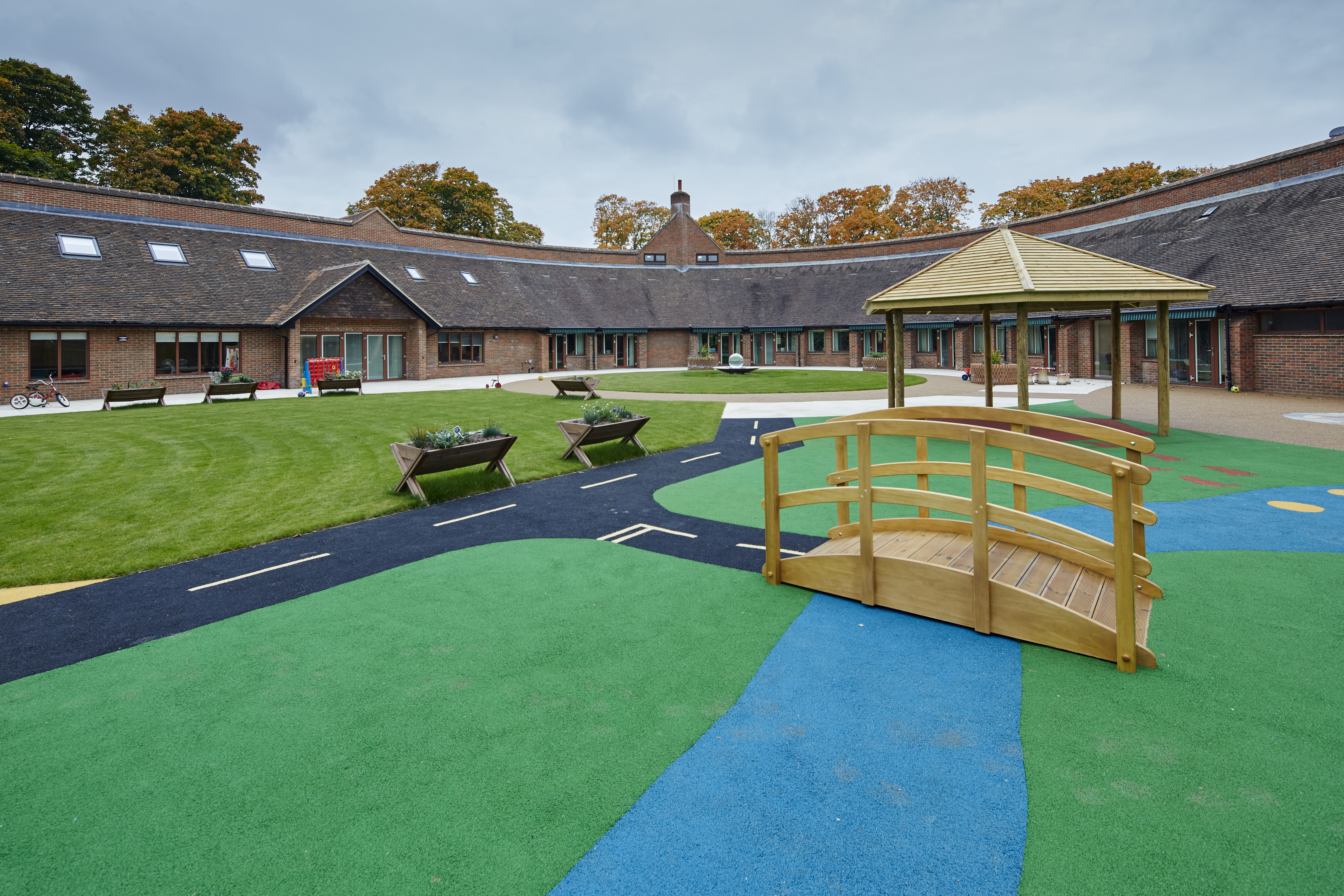
Naomi House Children's Hospice
Naomi House and Jacksplace are the hospices for children and young people in the Wessex region. The hospices are located at Sutton Scotney, near Winchester...

Newton Stacey
Newton Stacey is a hamlet in the Barton Stacey civil parish in the Test Valley district of Hampshire, England. Its nearest town is Stockbridge, which lies...
Bransbury
Bransbury is a hamlet in Hampshire, England, part of the parish of Barton Stacey. The nearest village is Barton Stacey (where the 2011 census was included...

Barton Stacey railway station
Barton Stacey railway station was a small single platform halt serving an army camp near the village of Barton Stacey. It was opened by February 1940;...

Sutton Scotney
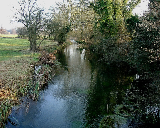
Sutton Scotney is a village in Hampshire, England, north of Winchester in the civil parish of Wonston. It lies alongside the River Dever and is now bypassed...

Bransbury Common
Bransbury Common is a 158.6-hectare (392-acre) biological Site of Special Scientific Interest south-east of Andover in Hampshire. It is a Nature Conservation...
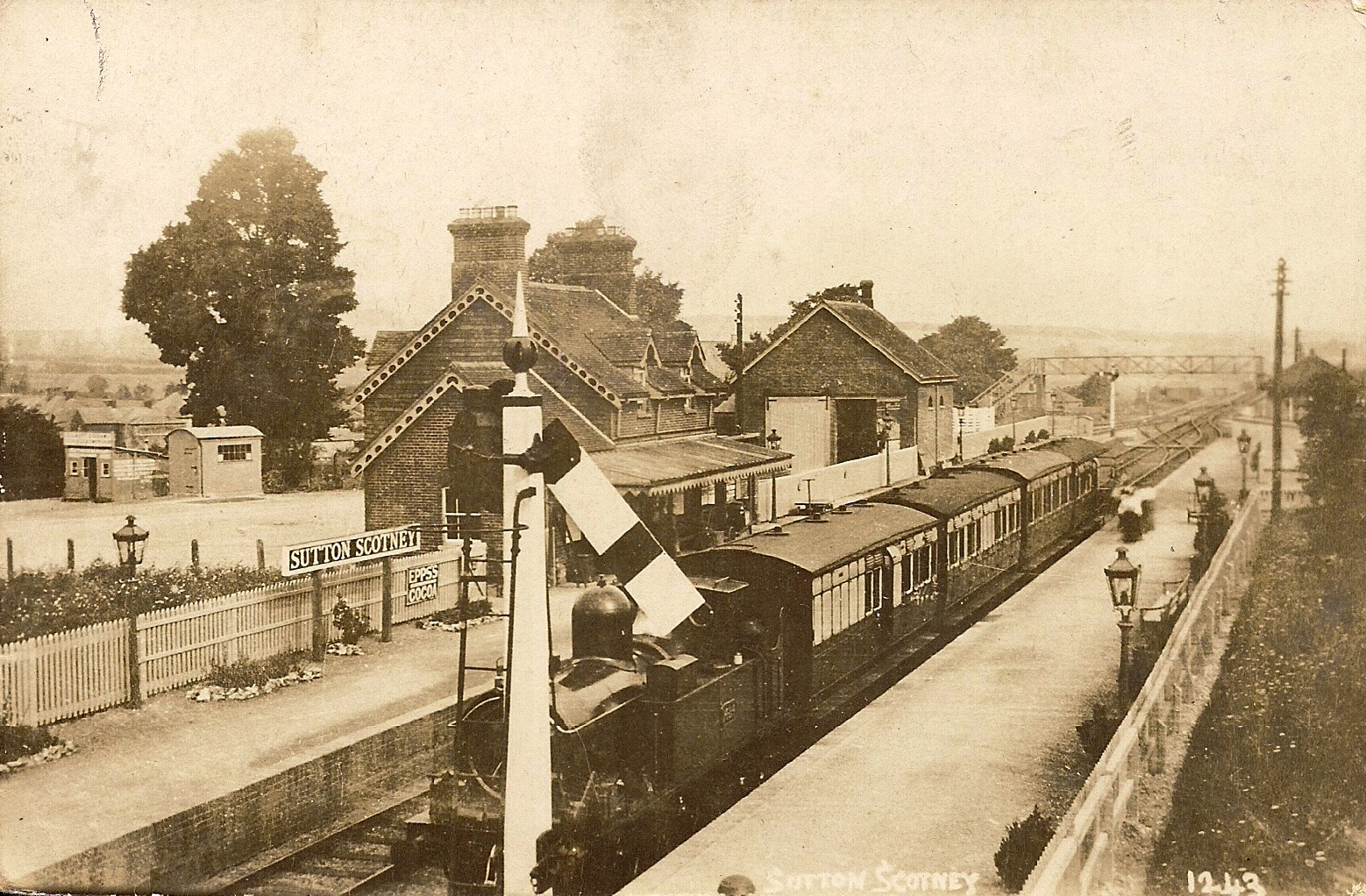
Sutton Scotney railway station
Sutton Scotney railway station is a disused station which served the village of Sutton Scotney a few miles north of Winchester on the Didcot, Newbury and...
Nearby Amenities
Located within 500m of 51.15844,-1.377924Have you been to Barton Stacey?
Leave your review of Barton Stacey below (or comments, questions and feedback).