Barton St David

Settlement in Somerset South Somerset

England

Barton St David

Gated entrance at Naydon Equestrian
Gated entrance at Naydon Equestrian Credit: Rob Purvis

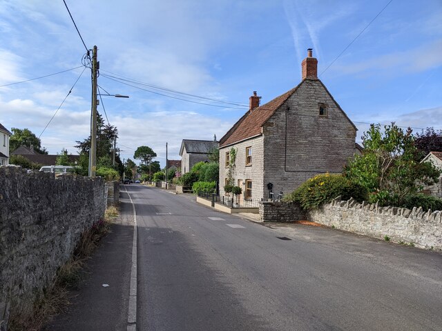
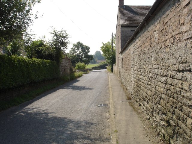
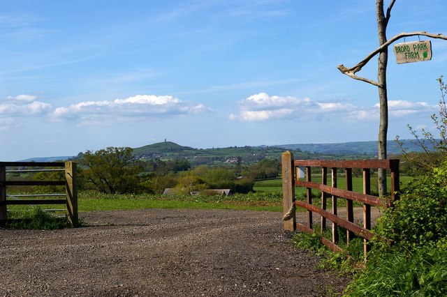
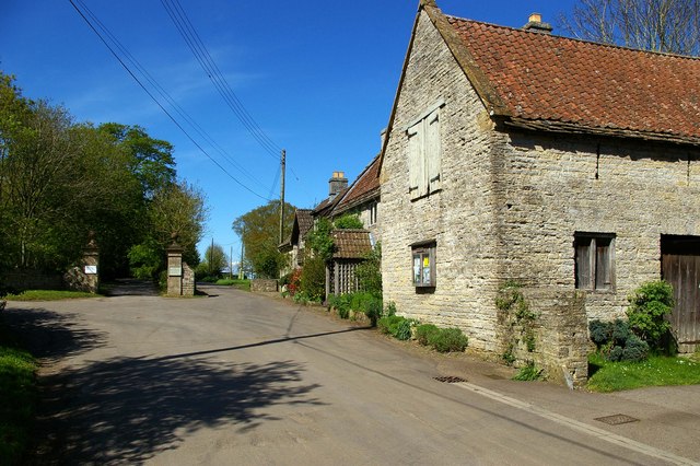
Barton St David is a charming village located in the county of Somerset, England. Situated about 5 miles east of the town of Glastonbury, it is surrounded by picturesque countryside, offering residents and visitors a serene and peaceful atmosphere. The village is part of the Mendip district and falls within the administrative area of South Somerset.

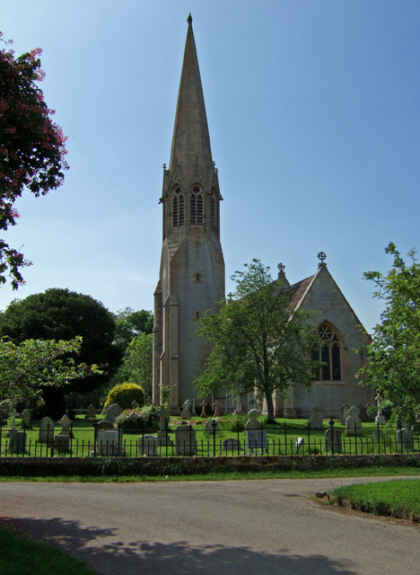
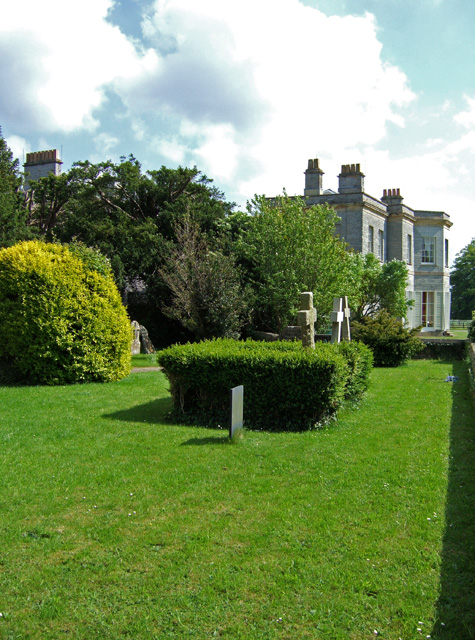
With a population of approximately 400 people, Barton St David has a close-knit community feel. The village is known for its beautiful traditional cottages and well-maintained gardens, which add to its overall aesthetic appeal. The parish church, St David's, is a prominent landmark and dates back to the 13th century, showcasing the village's rich historical heritage.

Barton St David benefits from a range of amenities, including a village hall, a primary school, and a local pub, which serves as a hub for social gatherings and community events. The village also has a cricket club, providing recreational opportunities for sports enthusiasts.

The surrounding countryside offers ample opportunities for nature lovers, with scenic walking and cycling routes nearby. Additionally, the village is well-connected to the wider region, with the A372 passing through, facilitating easy access to nearby towns and cities.

Overall, Barton St David is an idyllic countryside village that offers residents a peaceful and close-knit community, while still providing access to essential amenities and the natural beauty of the Somerset countryside.

If you have any feedback on the listing, please let us know in the comments section below.

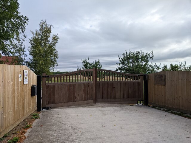
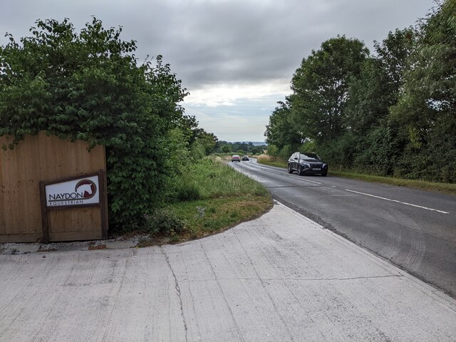
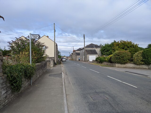
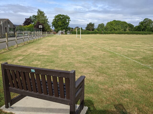
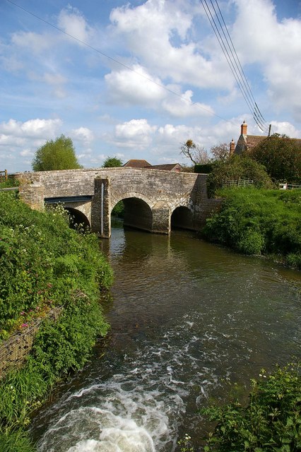
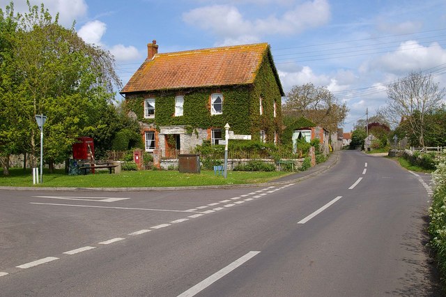
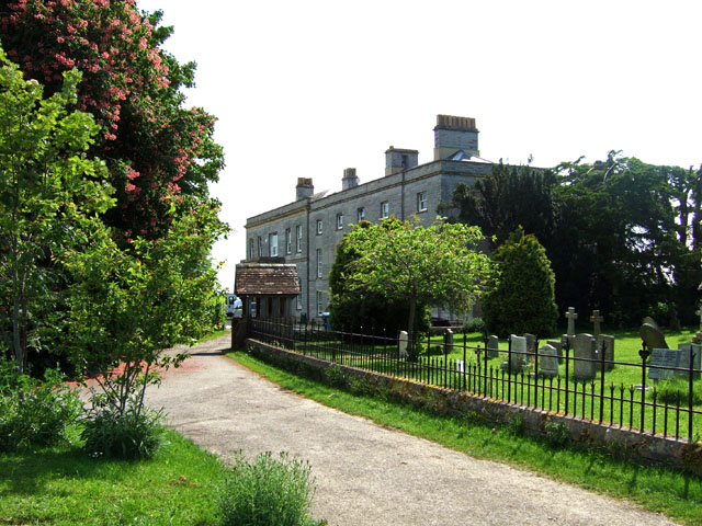
Barton St David Images

Images are sourced within 2km of 51.085042/-2.6558468 or Grid Reference ST5431. Thanks to Geograph Open Source API. All images are credited.

Gated entrance at Naydon Equestrian
Naydon Equestrian entrance
Road heading west through Keinton Mandeville
A nice bench for watching the sport in Keinton Mandeville
Queen Street in Keinton Mandeville, looking south
Looking south down Main Street, Barton St. David Taken opposite 'Avalon' the house where I grew up, looking south down Main Street alongside Stocks Farm.
Looking south down Main Street, Barton St. David
Taken opposite 'Avalon' the house where I grew up, looking south down Main Street alongside Stocks Farm.
Broad Park Farm Gate This is the entrance to Broad Park Farm. Between Barton St David and Butleigh Glastonbury Tor Can be seen in the background
Broad Park Farm Gate
This is the entrance to Broad Park Farm. Between Barton St David and Butleigh Glastonbury Tor Can be seen in the background
Kingweston Kingweston is on a road to nowhere there is one road in and a foot path out the other side.
Kingweston
Kingweston is on a road to nowhere there is one road in and a foot path out the other side.
Tootle Bridge, Barton St David Tootle Bridge is on the River Brue, the white water is from and old  mill stream that has its confluence at this point.
Tootle Bridge, Barton St David
Tootle Bridge is on the River Brue, the white water is from and old mill stream that has its confluence at this point.
Coronation Seat Barton St David This is Barton St David at the junction of High Lane, Church St, and Mill Lane. The seat was placed there to commemorate the coronation in 1953
Coronation Seat Barton St David
This is Barton St David at the junction of High Lane, Church St, and Mill Lane. The seat was placed there to commemorate the coronation in 1953
Church Street  Barton St David The 13th century parish church of St David gives Barton its double-barrelled name. This is Church Street.
Church Street Barton St David
The 13th century parish church of St David gives Barton its double-barrelled name. This is Church Street.
Lakeview Quarry This quarry in Kenton Mandeville specialises in paving and walling stone.
Lakeview Quarry
This quarry in Kenton Mandeville specialises in paving and walling stone.
Lake View Sedimentary A close up of the product of <a href="https://www.geograph.org.uk/photo/165761">ST5430 : Lakeview Quarry</a> no doubting it is sedimentary rock!!
Lake View Sedimentary
A close up of the product of ST5430 : Lakeview Quarry no doubting it is sedimentary rock!!
Keinton Mandeville
Keinton Mandeville
The Approach to Kingweston Church The view is from the public footpath, which extends in a south easterly direction from the Butleigh road. Kingweston House is also just visible behind the church.
The Approach to Kingweston Church
The view is from the public footpath, which extends in a south easterly direction from the Butleigh road. Kingweston House is also just visible behind the church.
All Saints Church - Kingweston A Victorian church by C. E. Giles in 1855.
All Saints Church - Kingweston
A Victorian church by C. E. Giles in 1855.
Kingweston House Late Georgian house, Grade II listed, built on the site of a Tudor house. Now a part of Millfield School.
Kingweston House
Late Georgian house, Grade II listed, built on the site of a Tudor house. Now a part of Millfield School.
Kingweston House (2)
Show me another place!

Barton St David is located at Grid Ref: ST5431 (Lat: 51.085042, Lng: -2.6558468)

Administrative County: Somerset

District: South Somerset

Police Authority: Avon and Somerset

What 3 Words

///abstracts.homework.hurricane. Near Street, Somerset

Nearby Locations

Barton St David

Related Wikis

Barton St David

Barton St David or commonly referred to as Barton is a village and civil parish on the River Brue adjacent to Keinton Mandeville at the foot of Combe Hill...

Church of St David, Barton St David

The Anglican Church of St David in Barton St David, Somerset, England, was built in the 12th to 15th centuries. It is a Grade II* listed building. ��2...

Keinton Mandeville

Keinton Mandeville, commonly referred to as Keinton, is a village and civil parish in Somerset, England, situated on top of Combe Hill, 6 miles (9.7 km...

Kingweston Meadows

Kingweston Meadows (grid reference ST540304) is an 11.5 hectare (28.4 acre) biological Site of Special Scientific Interest at Kingweston in Somerset, notified...

Kingweston

Kingweston is a village and civil parish in Somerset, England, situated on Combe Hill, 3 miles (4.8 km) north east of Somerton in the South Somerset district...

Church of All Saints, Kingweston

The Anglican Church of All Saints in Kingweston, Somerset, England was rebuilt between 1852 and 1855 by Charles Edmund Giles. It is a Grade II* listed...

Butleigh

Butleigh is a small village and civil parish, located in Somerset. The nearest village to it is Barton St David, and it is located a short distance from...

West Lydford

West Lydford is a village and former civil parish, now in the parish of Lydford-on-Fosse in Somerset, England. The village is spread along a stretch of...

Nearby Amenities

Located within 500m of 51.085042,-2.6558468
Barton St. David
Place: village
Source: npe
Lat/Long: 51.0850806/-2.6560673
Pub
Barton Inn
Lat/Long: 51.0864519/-2.657347
Barrier: kissing_gate
Lat/Long: 51.082433/-2.6572727
Barrier: kissing_gate
Lat/Long: 51.081793/-2.657509
Barrier: kissing_gate
Lat/Long: 51.0815797/-2.6539783
Manor Barns
Place: farm
Lat/Long: 51.0886208/-2.6547764
Health and Beauty Salon
Shop: beauty
Shop 1: hairdresser
Lat/Long: 51.0883664/-2.6550421
Post Box
Operator: Royal Mail
Operator Wikidata: Q638098
Post Box Type: wall
Ref: TA11 405
Royal Cypher: GR
Royal Cypher Wikidata: Q33102273
Lat/Long: 51.0851488/-2.6561272
Information: guidepost
Tourism: information
Lat/Long: 51.0851011/-2.6559614
Public Bookcase
Booth: K6
Disused Amenity: telephone
Man Made: telephone_box
Public Bookcase Type: phone_box
Lat/Long: 51.0850966/-2.6560973
Historic: memorial
Memorial: war_memorial
Lat/Long: 51.0834362/-2.6552026
Defibrillator
Access: yes
Defibrillator Location: outside
Emergency: defibrillator
Indoor: no
Lat/Long: 51.083367/-2.6564369
Entrance: yes
Lat/Long: 51.0833364/-2.6565946
Generator Method: photovoltaic
Generator Output Electricity: yes
Generator Source: solar
Generator Type: solar_photovoltaic_panel
Location: roof
Power: generator
Lat/Long: 51.0833562/-2.6566018
The data included in this document is from www.openstreetmap.org. The data is made available under ODbL.

Have you been to Barton St David?

Leave your review of Barton St David below (or comments, questions and feedback).