Sgeir Dhubh

Island in Argyllshire

Scotland

Sgeir Dhubh

Estate track at Ormsary
Estate track at Ormsary Credit: John Ferguson

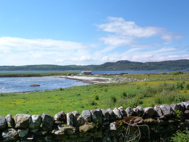
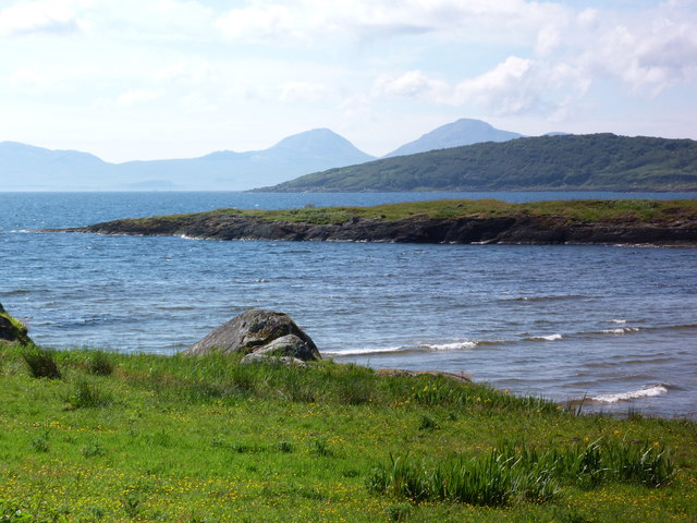
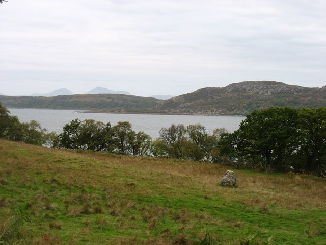
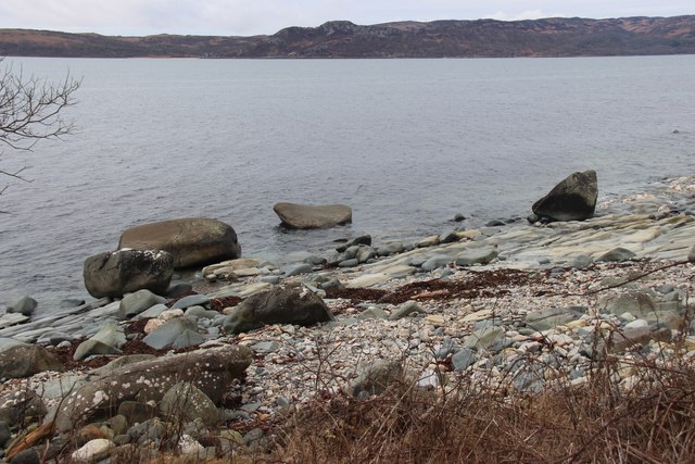
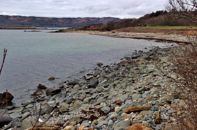
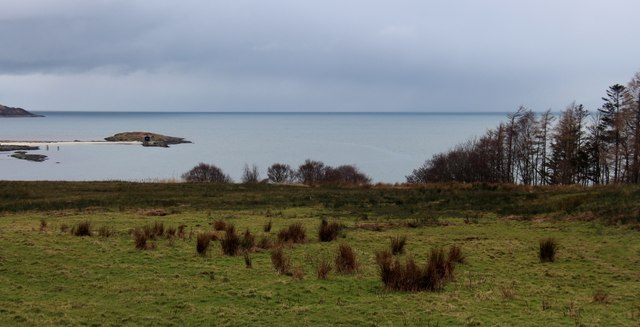
Sgeir Dhubh is a small island located off the west coast of Scotland in Argyllshire. It is situated in the Inner Hebrides, approximately 5 kilometers southwest of the Isle of Mull. The island is known for its stunning natural beauty and rich wildlife.

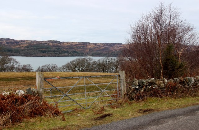
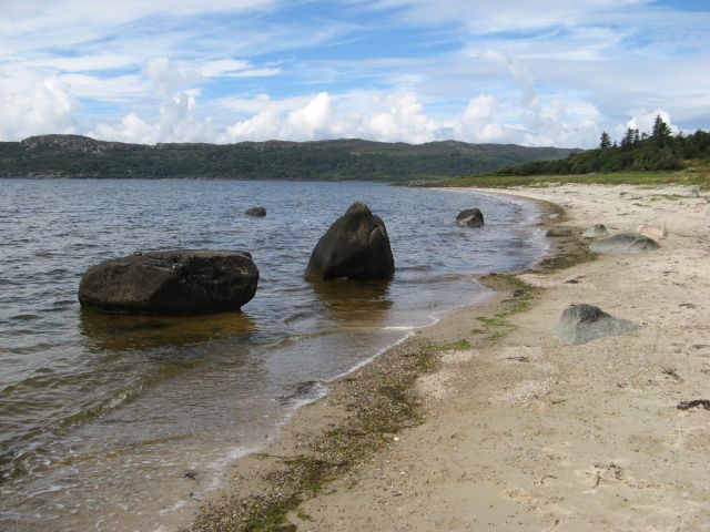
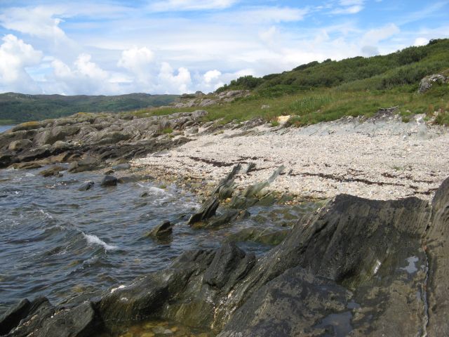
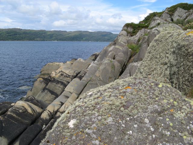
Sgeir Dhubh covers an area of about 80 hectares and is characterized by rugged cliffs and rocky shores. The landscape is dominated by grassy slopes, heather moorland, and scattered shrubs. The island offers panoramic views of the surrounding sea and neighboring islands.

One of the notable features of Sgeir Dhubh is its diverse bird population. The island is a breeding ground for various seabird species, including puffins, razorbills, guillemots, and fulmars. These birds nest in the cliffs and can be observed during the breeding season, providing a fantastic opportunity for birdwatchers and nature enthusiasts.

The surrounding waters of Sgeir Dhubh are teeming with marine life. Seals are often spotted lounging on the rocky shores, while dolphins and porpoises can be seen swimming in the distance. The island is also a popular spot for fishing, with anglers coming to catch species such as mackerel, herring, and cod.

Access to Sgeir Dhubh is limited, as there are no regular ferry services. However, the island can be reached by private boat or as part of organized wildlife tours from Mull. Visitors are advised to be mindful of the fragile ecosystem and to respect the wildlife and natural environment during their stay.

If you have any feedback on the listing, please let us know in the comments section below.
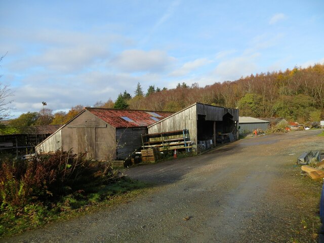
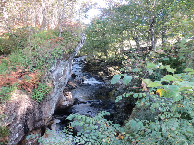
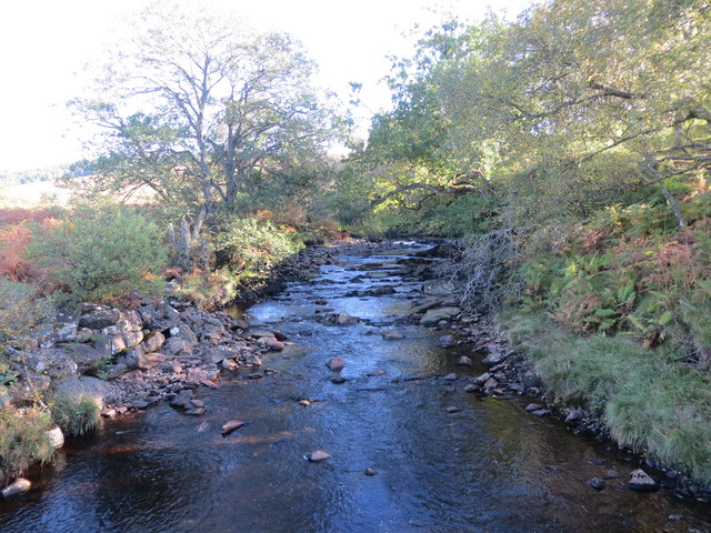
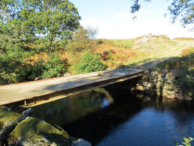
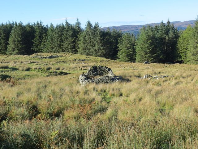
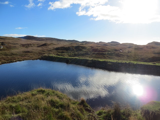
Sgeir Dhubh Images

Images are sourced within 2km of 55.891202/-5.6225962 or Grid Reference NR7372. Thanks to Geograph Open Source API. All images are credited.

Estate track at Ormsary
Ormsary sawmill
Ormsary sawmill
Loch Caolisport Just South of Ormsary.
Loch Caolisport
Just South of Ormsary.
Loch Caolisport Eileann Traighe in the foreground and Jura in the far distance.
Loch Caolisport
Eileann Traighe in the foreground and Jura in the far distance.
Ormsary Water looking upstream from the bridge
Ormsary Water
Ormsary Water
Estate bridge over Ormsary Water Not abandoned as a previous picture suggests
Estate bridge over Ormsary Water
Not abandoned as a previous picture suggests
Remains of shielings at Sean-ghart
Estate track over the reservoir dam
Country near Baile Boidheach Looking out to Loch Caolisport. The Paps of Jura are in the far distance, left of centre.
Country near Baile Boidheach
Looking out to Loch Caolisport. The Paps of Jura are in the far distance, left of centre.
Loch Caolisport shoreline
Baigh Sean-Ghairt, Ormsary
Burial ground at Ormsary
Rushy field at An Dùn, Ormsary
Field overlooking Loch Caolisport
Erratic boulders on the shore The sandy shore of the bay at Ormsary sports some fine glacial erratic boulders.
Erratic boulders on the shore
The sandy shore of the bay at Ormsary sports some fine glacial erratic boulders.
Schist outcrops Eroded outcrops of Dalradian schists show a very slatey character; some are reduced to blade-like protrusiuons from this small, stony beach. The form of these outcrops differs significantly from outcrops of amphibolite to the north (<a href="https://www.geograph.org.uk/photo/5091530">NR7373 : Amphibolite outcrops</a>).
Schist outcrops
Eroded outcrops of Dalradian schists show a very slatey character; some are reduced to blade-like protrusiuons from this small, stony beach. The form of these outcrops differs significantly from outcrops of amphibolite to the north (NR7373 : Amphibolite outcrops).
Amphibolite outcrops In complete contrast to the schist outcrops further south (<a href="https://www.geograph.org.uk/photo/5091512">NR7372 : Schist outcrops</a>) on the shore, here we have massive amphibolites which only show a strong jointing pattern in place of the strong foliation of the schist. The amphibolites are basalt intrusions into the sediments of the Dalradian succession before the pervasive metamorphism of the Caledonian continental collision and mountain building.
Amphibolite outcrops
In complete contrast to the schist outcrops further south (NR7372 : Schist outcrops) on the shore, here we have massive amphibolites which only show a strong jointing pattern in place of the strong foliation of the schist. The amphibolites are basalt intrusions into the sediments of the Dalradian succession before the pervasive metamorphism of the Caledonian continental collision and mountain building.
Show me another place!

Sgeir Dhubh is located at Grid Ref: NR7372 (Lat: 55.891202, Lng: -5.6225962)

Unitary Authority: Argyll and Bute

Police Authority: Argyll and West Dunbartonshire

What 3 Words

///score.intricate.reports. Near Tarbert, Argyll & Bute

Related Wikis

Baile Boidheach

Baile Boidheach (Scottish Gaelic: Am Baile Bòidheach) is a hamlet in Argyll and Bute, Scotland.

Ormsary

Ormsary (Scottish Gaelic: Ormsaraidh) is a hamlet in Knapdale, Argyll and Bute, Scotland. == References ==

Druimdrishaig

Druimdrishaig is a hamlet in Argyll and Bute, Scotland, on the shore of Loch Caolisport. == References ==

Kilmory, Knapdale

Kilmory (Scottish Gaelic: Cill Mhoire) is a hamlet in the civil parish of South Knapdale, on Knapdale, Argyll and Bute, Scotland. It is situated near the...

Nearby Amenities

Located within 500m of 55.891202,-5.6225962
Power: pole
Lat/Long: 55.892202/-5.6182797
The data included in this document is from www.openstreetmap.org. The data is made available under ODbL.

Have you been to Sgeir Dhubh?

Leave your review of Sgeir Dhubh below (or comments, questions and feedback).