Berkamsted, Little
Settlement in Hertfordshire East Hertfordshire
England
Berkamsted, Little
Berkhamsted, Little, Hertfordshire, is a quaint and historic village located in the east of England. Situated in the Chiltern Hills, it is nestled in between the towns of Tring and Hemel Hempstead. With a population of around 1,500 residents, it offers a peaceful and idyllic setting.
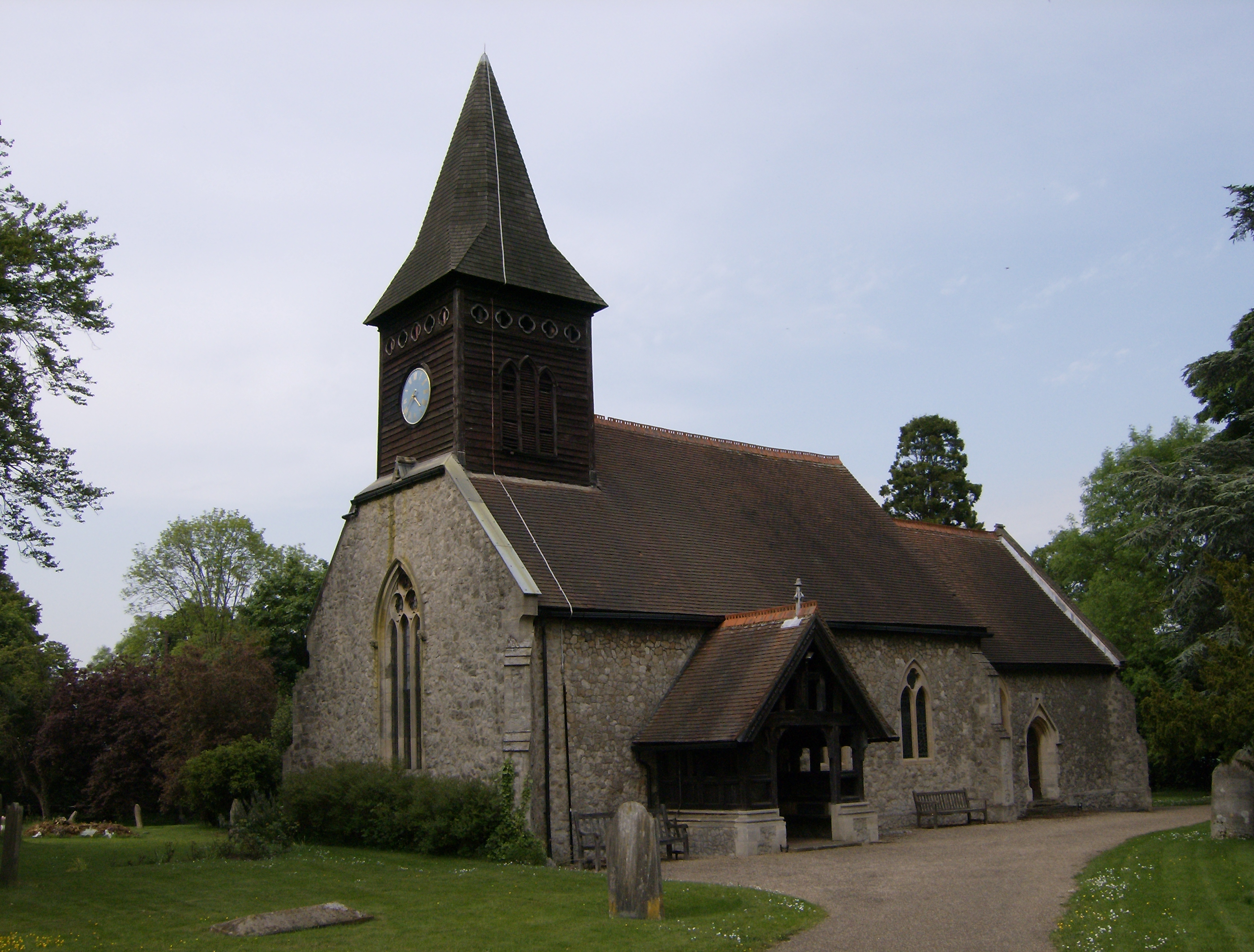
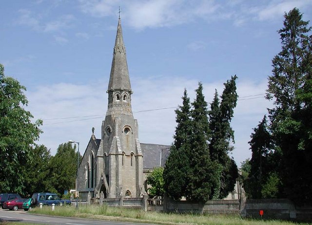
Berkhamsted is renowned for its rich history, dating back to Saxon times. The village is dominated by the impressive ruins of Berkhamsted Castle, originally built in the 11th century. This historic landmark attracts visitors from all over, who come to explore its fascinating past and enjoy the picturesque views from its elevated position.
The village itself is characterized by charming period architecture, with picturesque cottages and Georgian houses lining its streets. The High Street is a bustling hub, offering an array of independent shops, boutiques, cafes, and restaurants, giving the village a delightful and vibrant atmosphere.
Nature enthusiasts are drawn to Berkhamsted due to its beautiful surrounding countryside. The nearby Ashridge Estate provides ample opportunities for outdoor activities, including walking, cycling, and wildlife spotting. The Grand Union Canal also runs through the village, offering picturesque towpaths for leisurely strolls.
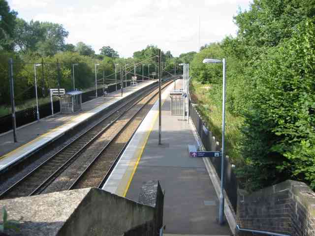
Berkhamsted boasts excellent transport links, with a mainline railway station providing easy access to London and other major cities. Additionally, the village is well-connected by road, with the A41 and M25 nearby.
Overall, Berkhamsted, Little, Hertfordshire, is a charming and historic village that offers a blend of natural beauty, cultural heritage, and a vibrant community, making it a highly desirable place to live or visit.
If you have any feedback on the listing, please let us know in the comments section below.
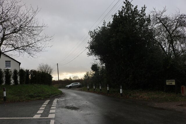
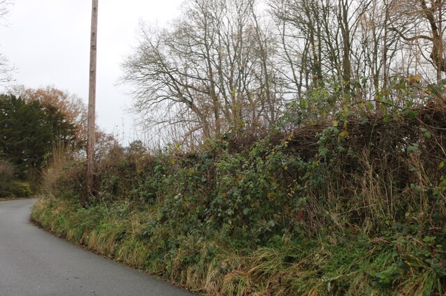
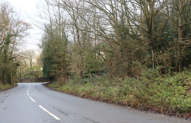
Berkamsted, Little Images
Images are sourced within 2km of 51.746856/-0.1328186 or Grid Reference TL2907. Thanks to Geograph Open Source API. All images are credited.


Berkamsted, Little is located at Grid Ref: TL2907 (Lat: 51.746856, Lng: -0.1328186)
Administrative County: Hertfordshire
District: East Hertfordshire
Police Authority: Hertfordshire
What 3 Words
///tester.those.shrimp. Near Cuffley, Hertfordshire
Nearby Locations
Related Wikis
Little Berkhamsted
Little Berkhamsted is a village and civil parish in Hertfordshire, England, five miles south-west of the town of Hertford. The village is in a hilly location...

Essendon, Hertfordshire
Essendon is a village and civil parish in Hertfordshire 6 miles (10 km), south-west of Hertford. The village is on the B158 road 330 feet (100 m) above...
Newgate Street, Hertfordshire
Newgate Street is a village near Cuffley, in Hatfield civil parish, in the Welwyn Hatfield district of Hertfordshire, England. It is approximately six...

Bayford, Hertfordshire
Bayford is a village and civil parish in the East Hertfordshire district of Hertfordshire, England. According to the 2001 census it had a population of...

Tolmers Park
Tolmers Park is a manor house in Newgate Street Village near Hatfield in Hertfordshire, England. == Early history == The early history of the manor is...
Bayford railway station
Bayford railway station serves the villages of Bayford and Brickendon in Hertfordshire, England. The station is on the Hertford Loop Line, 16 miles 56...

Northaw Great Wood
Northaw Great Wood is a 223.6-hectare (553-acre) biological Site of Special Scientific Interest (SSSI) near Cuffley in Hertfordshire, England. It covers...

Woolmers Park
Woolmers Park is a Grade II* listed building in Hertfordshire, England. It was the residence of Claude Bowes-Lyon, 14th Earl of Strathmore and Kinghorne...
Nearby Amenities
Located within 500m of 51.746856,-0.1328186Have you been to Berkamsted, Little?
Leave your review of Berkamsted, Little below (or comments, questions and feedback).