Buck's Alley Wood
Wood, Forest in Hertfordshire East Hertfordshire
England
Buck's Alley Wood
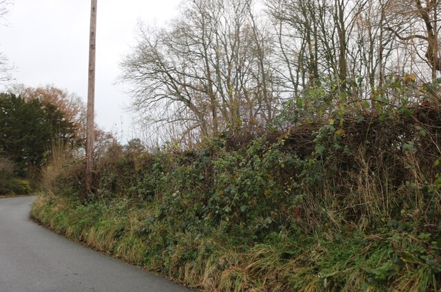
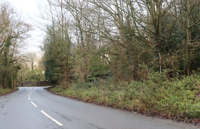
Buck's Alley Wood is a picturesque woodland located in Hertfordshire, England. Situated just outside the village of Buck's Alley, this charming forest covers an area of approximately 50 acres. The woodland is known for its diverse range of trees, including oak, beech, and ash, which create a captivating and peaceful atmosphere.
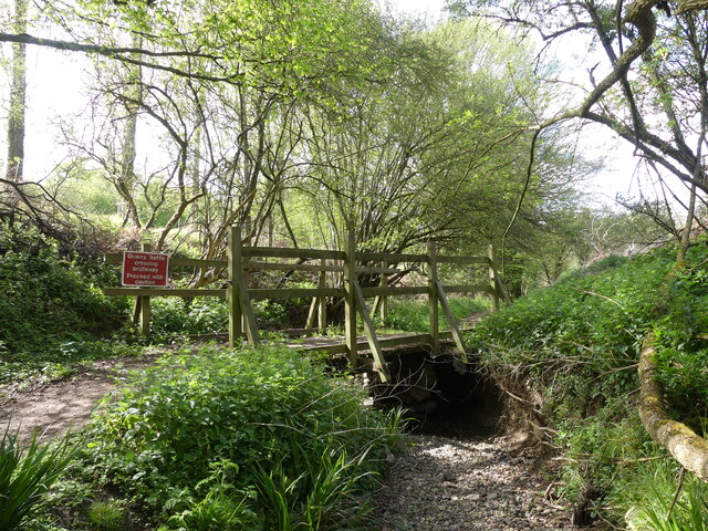
The wood is crisscrossed with a network of winding footpaths, providing visitors with the opportunity to explore its natural beauty. These paths lead visitors through dense thickets and open glades, offering glimpses of wildlife and an abundance of flora. Wildflowers, such as bluebells and primroses, bloom in the spring, creating a vibrant carpet of color.
Buck's Alley Wood is also home to a variety of animal species. Deer are often spotted grazing in the meadows, while squirrels and rabbits dart between the trees. Birdwatchers can delight in the sight of various species, including woodpeckers, robins, and jays, flitting through the branches.
The wood has a rich history, with evidence of human activity dating back centuries. Remnants of ancient settlements, including earthworks and burial mounds, can be found among the trees, adding an air of mystery and intrigue to the woodland.
Buck's Alley Wood is a popular destination for nature lovers, walkers, and families seeking a peaceful retreat. Its natural beauty, diverse wildlife, and historical significance make it a truly enchanting place to visit in Hertfordshire.
If you have any feedback on the listing, please let us know in the comments section below.
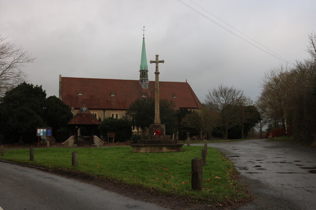
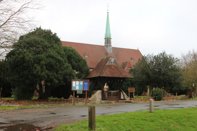
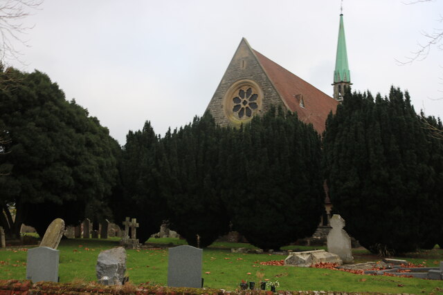
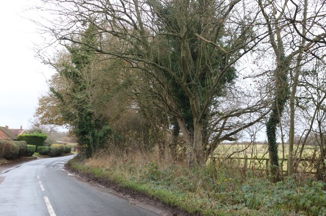
Buck's Alley Wood Images
Images are sourced within 2km of 51.751005/-0.12292631 or Grid Reference TL2907. Thanks to Geograph Open Source API. All images are credited.


Buck's Alley Wood is located at Grid Ref: TL2907 (Lat: 51.751005, Lng: -0.12292631)
Administrative County: Hertfordshire
District: East Hertfordshire
Police Authority: Hertfordshire
What 3 Words
///envy.opens.retain. Near Cuffley, Hertfordshire
Nearby Locations
Related Wikis
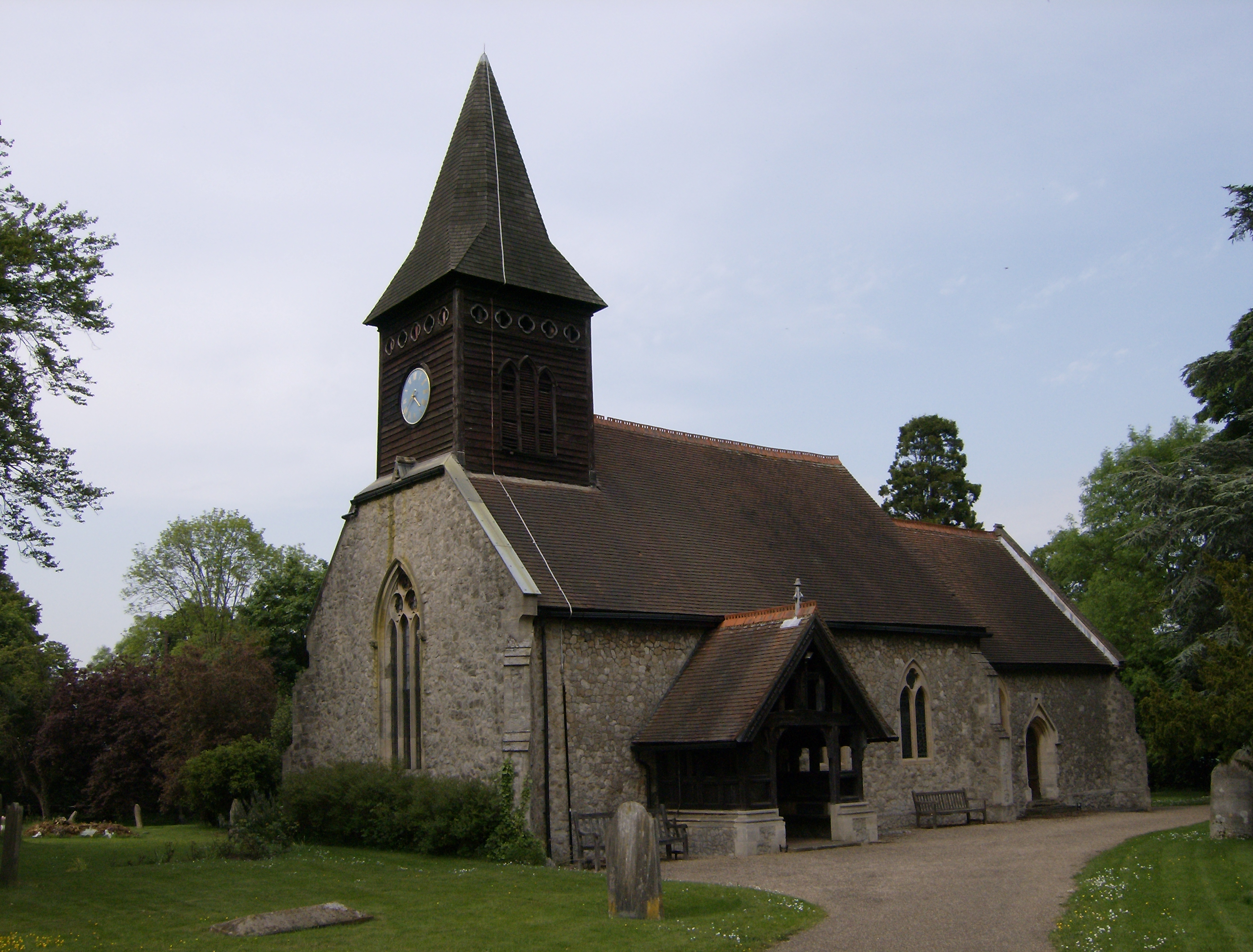
Little Berkhamsted
Little Berkhamsted is a village and civil parish in Hertfordshire, England, five miles south-west of the town of Hertford. The village is in a hilly location...

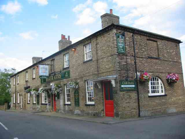
Bayford, Hertfordshire
Bayford is a village and civil parish in the East Hertfordshire district of Hertfordshire, England. According to the 2001 census it had a population of...
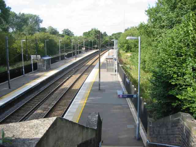
Bayford railway station
Bayford railway station serves the villages of Bayford and Brickendon in Hertfordshire, England. The station is on the Hertford Loop Line, 16 miles 56...

Essendon, Hertfordshire
Essendon is a village and civil parish in Hertfordshire 6 miles (10 km), south-west of Hertford. The village is on the B158 road 330 feet (100 m) above...

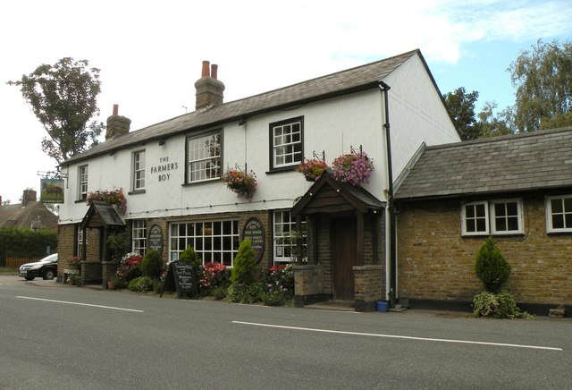
Newgate Street, Hertfordshire
Newgate Street is a village near Cuffley, in Hatfield civil parish, in the Welwyn Hatfield district of Hertfordshire, England. It is approximately six...
Brickendon
Brickendon is a village in the civil parish of Brickendon Liberty in the district of East Hertfordshire about 3 miles (4.8 km) south of the county town...

Tolmers Park
Tolmers Park is a manor house in Newgate Street Village near Hatfield in Hertfordshire, England. == Early history == The early history of the manor is...

Wormley-Hoddesdonpark Wood North
Wormley-Hoddesdonpark Wood North is a 143.9-hectare (356-acre) woodland area in Hertfordshire which has been designated as a biological site of Special...
Nearby Amenities
Located within 500m of 51.751005,-0.12292631Have you been to Buck's Alley Wood?
Leave your review of Buck's Alley Wood below (or comments, questions and feedback).