Sheep Rock

Island in Cornwall

England

Sheep Rock

Dawn at Portreath The harbour wall from the beach early in the morning.
Dawn at Portreath Credit: David P Howard

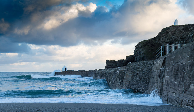
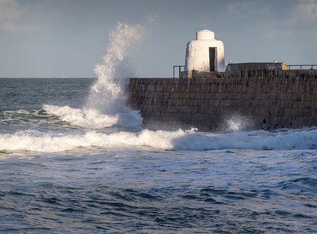
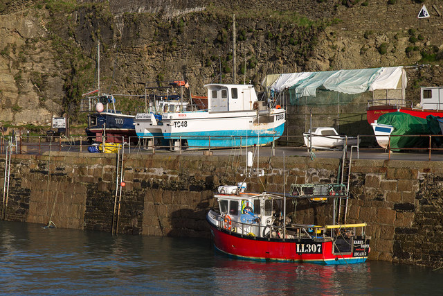
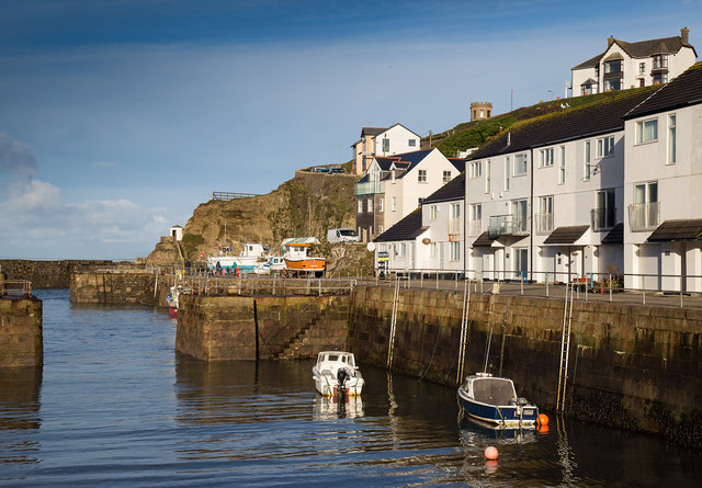
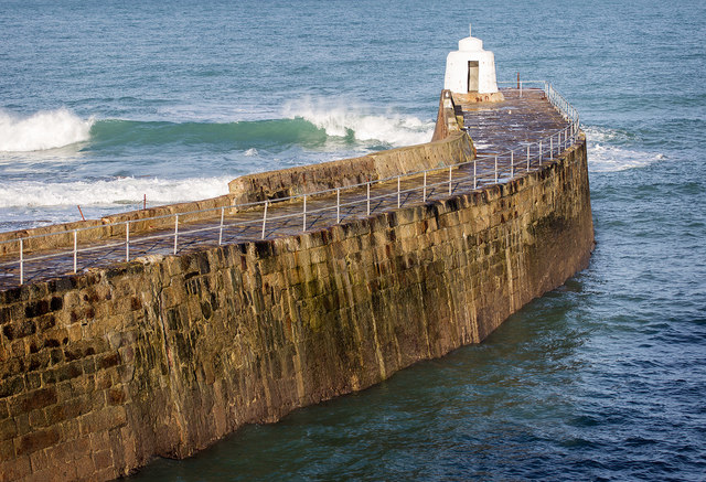
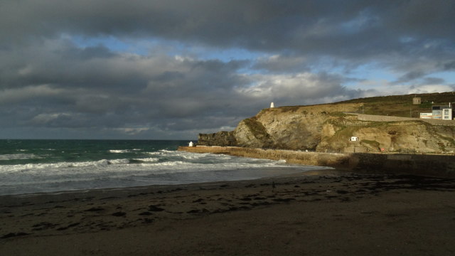
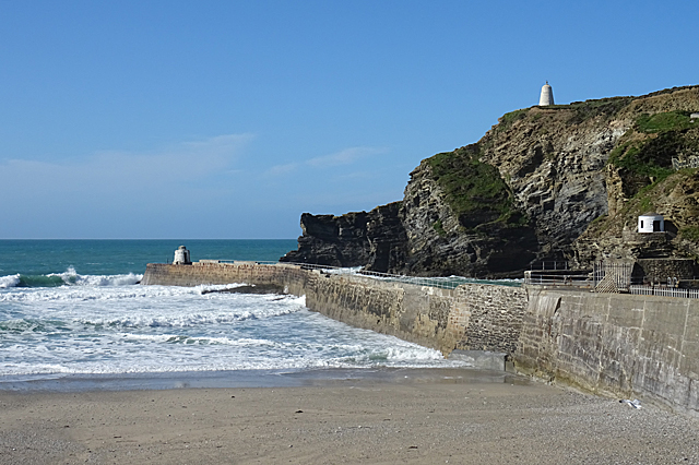
Sheep Rock is a small island located off the coast of Cornwall, England. It is known for its unique rock formations that resemble a flock of sheep grazing on the hillside, hence its name. The island is accessible by boat or kayak, and is a popular destination for tourists looking to explore the rugged coastline of Cornwall.

Sheep Rock is home to a variety of bird species, making it a haven for birdwatchers and nature enthusiasts. The island's rocky cliffs provide nesting sites for seabirds such as puffins, guillemots, and razorbills. Visitors can also spot seals and dolphins swimming in the surrounding waters.

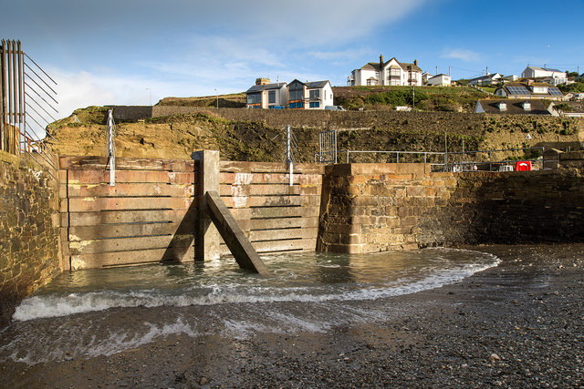
The island's landscape is characterized by rugged cliffs, sandy beaches, and lush greenery. Hiking trails crisscross the island, offering stunning views of the surrounding sea and coastline. Sheep Rock is also a popular spot for picnicking and enjoying the peaceful surroundings.

Overall, Sheep Rock is a hidden gem in Cornwall, offering visitors a chance to immerse themselves in nature and experience the beauty of the British coastline.

If you have any feedback on the listing, please let us know in the comments section below.

Sheep Rock Images

Images are sourced within 2km of 50.27512/-5.2740874 or Grid Reference SW6646. Thanks to Geograph Open Source API. All images are credited.

Dawn at Portreath The harbour wall from the beach early in the morning.
Dawn at Portreath
The harbour wall from the beach early in the morning.
Waves breaking over the harbour wall, Portreath Taken from the beach.
Waves breaking over the harbour wall, Portreath
Taken from the beach.
Blocked off harbour entrance, Portreath This old section of harbour has been blocked off by a concrete barrier.
Blocked off harbour entrance, Portreath
This old section of harbour has been blocked off by a concrete barrier.
The harbour, Portreath A fishing boat, LL307 Early Dawn, in Portreath harbour.
The harbour, Portreath
A fishing boat, LL307 Early Dawn, in Portreath harbour.
The harbour Portreath The harbour and harbour side apartments, in the early morning winter sunshine.
The harbour Portreath
The harbour and harbour side apartments, in the early morning winter sunshine.
The harbour wall, Portreath
Portreath Millennium Hall A former Methodist church, now a community hall.
Portreath Millennium Hall
A former Methodist church, now a community hall.
Cottages on Basset Terrace A row of cottages on the B3300 heading east out of Portreath.
Cottages on Basset Terrace
A row of cottages on the B3300 heading east out of Portreath.
The beach at Portreath
Penberthy Road in Portreath Looking westward.
Penberthy Road in Portreath
Looking westward.
Ordnance Survey Flush Bracket S6920 This bracket can be found on the wall of Portreath Pre-School in Penberthy Road. The benchmark height is recorded as  being 6.605 metres above sea level.
For more detail see : <span class="nowrap"><a title="http://www.bench-marks.org.uk/bm11684" rel="nofollow ugc noopener" href="http://www.bench-marks.org.uk/bm11684">Link</a><img style="margin-left:2px;" alt="External link" title="External link - shift click to open in new window" src="https://s1.geograph.org.uk/img/external.png" width="10" height="10"/></span>
Ordnance Survey Flush Bracket S6920
This bracket can be found on the wall of Portreath Pre-School in Penberthy Road. The benchmark height is recorded as being 6.605 metres above sea level. For more detail see : LinkExternal link
Portreath Arms The signage has changed since I photographed this whilst walking the South West Coast Path in 2010 <a href="https://www.geograph.org.uk/photo/1838865">SW6545 : Portreath Arms</a>.  The new signs read 'Bar Restaurant Rooms'.
Portreath Arms
The signage has changed since I photographed this whilst walking the South West Coast Path in 2010 SW6545 : Portreath Arms. The new signs read 'Bar Restaurant Rooms'.
Old Milestone by the B3300, Penberthy Road, Portreath Carved stone post by the B3300, in parish of PORTREATH (KERRIER District), Penberthy Road, opposite chapel, by the road, on West side of road. Erected by the Local Highways Board in the 19th century. 

Inscription reads:-
: POOL / 3 : : REDRUTH / 4 : 

Grade II Listed. List Entry Number: 1161478
<span class="nowrap"><a title="https://historicengland.org.uk/listing/the-list/list-entry/1161478" rel="nofollow ugc noopener" href="https://historicengland.org.uk/listing/the-list/list-entry/1161478">Link</a><img style="margin-left:2px;" alt="External link" title="External link - shift click to open in new window" src="https://s1.geograph.org.uk/img/external.png" width="10" height="10"/></span>

Milestone Society National ID: CW_PORR03.
Old Milestone by the B3300, Penberthy Road, Portreath
Carved stone post by the B3300, in parish of PORTREATH (KERRIER District), Penberthy Road, opposite chapel, by the road, on West side of road. Erected by the Local Highways Board in the 19th century. Inscription reads:- : POOL / 3 : : REDRUTH / 4 : Grade II Listed. List Entry Number: 1161478 LinkExternal link Milestone Society National ID: CW_PORR03.
Illogan Woods  
This north-westerly facing photograph shows the northern end of a public footpath Illogan Woods as it approaches Primrose Terrace in Portreath.

For another photograph of the footpath taken some 550m behind the viewpoint, click here <a href="https://www.geograph.org.uk/photo/5671492">SW6644 : Illogan Woods</a>.
Illogan Woods
  This north-westerly facing photograph shows the northern end of a public footpath Illogan Woods as it approaches Primrose Terrace in Portreath. For another photograph of the footpath taken some 550m behind the viewpoint, click here SW6644 : Illogan Woods.
Public right of way  
This steep lane carries the start of a public footpath from near the eastern end of Primrose Terrace in Portreath.

A short distance ahead the footpath leaves the metalled surface and climbs up through woodland to Feadon Farm <span class="nowrap"><a title="http://www.feadonfarmwildlife.co.uk/" rel="nofollow ugc noopener" href="http://www.feadonfarmwildlife.co.uk/">Link</a><img style="margin-left:2px;" alt="External link" title="External link - shift click to open in new window" src="https://s1.geograph.org.uk/img/external.png" width="10" height="10"/></span> .

For a photograph taken ahead, near to the end of this right of way, click here <a href="https://www.geograph.org.uk/photo/5671536">SW6544 : Public footpath</a>.

The castellated building is Portreath Gazebo. For more information, see this photograph by Alan Terrill <a href="https://www.geograph.org.uk/photo/3364373">SW6545 : Portreath Gazebo</a>.
Public right of way
  This steep lane carries the start of a public footpath from near the eastern end of Primrose Terrace in Portreath. A short distance ahead the footpath leaves the metalled surface and climbs up through woodland to Feadon Farm LinkExternal link . For a photograph taken ahead, near to the end of this right of way, click here SW6544 : Public footpath. The castellated building is Portreath Gazebo. For more information, see this photograph by Alan Terrill SW6545 : Portreath Gazebo.
Portreath Rather surprisingly, the centre of the village is made up of identikit rows of terraced houses.
Portreath
Rather surprisingly, the centre of the village is made up of identikit rows of terraced houses.
Portreath Beach It was disappointing to find that the main breakwater was closed because of repairs or maintenance, so it wasn't possible to walk out the full length of it.
Portreath Beach
It was disappointing to find that the main breakwater was closed because of repairs or maintenance, so it wasn't possible to walk out the full length of it.
Terraced Houses My companion was trying to find the house where he had lived for a short time with his family several decades ago. It wasn't easy when so many of the houses look silimar.
Terraced Houses
My companion was trying to find the house where he had lived for a short time with his family several decades ago. It wasn't easy when so many of the houses look silimar.
Show me another place!

Sheep Rock is located at Grid Ref: SW6646 (Lat: 50.27512, Lng: -5.2740874)

Unitary Authority: Cornwall

Police Authority: Devon and Cornwall

What 3 Words

///plotted.plastic.daydreams. Near Mount Hawke, Cornwall

Related Wikis

RRH Portreath

Remote Radar Head Portreath or RRH Portreath is an air defence radar station operated by the Royal Air Force. It has a coastal location at Nancekuke Common...

Nance Wood

Nance Wood is a woodland Site of Special Scientific Interest (SSSI) near Portreath, west Cornwall. The site was first notified in 1951 for its almost pure...
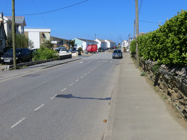
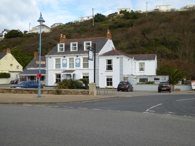
Portreath

Portreath (Cornish: Porthtreth or Porth Treth) is a civil parish, village and fishing port on the north coast of Cornwall, England, United Kingdom. The...

Porteath

Porteath is a hamlet in the parish of St Minver, Cornwall, England. == References ==

Nearby Amenities

Located within 500m of 50.27512,-5.2740874
Source: PGS
Lat/Long: 50.2750821/-5.267666
Source: PGS
Lat/Long: 50.274901/-5.269159
Source: PGS
Lat/Long: 50.2749874/-5.269967
Source: PGS
Lat/Long: 50.2746411/-5.2702944
Source: PGS
Lat/Long: 50.2750996/-5.2709609
Source: PGS
Lat/Long: 50.2749079/-5.2716803
Source: PGS
Lat/Long: 50.2747116/-5.2720342
Source: PGS
Lat/Long: 50.2745759/-5.2725235
Source: PGS
Lat/Long: 50.2744058/-5.2729765
Source: PGS
Lat/Long: 50.2745727/-5.2731581
Source: PGS
Lat/Long: 50.274812/-5.2729134
Source: PGS
Lat/Long: 50.2750156/-5.2733034
Source: PGS
Lat/Long: 50.2746943/-5.2746576
Source: PGS
Lat/Long: 50.2747447/-5.274719
Source: PGS
Lat/Long: 50.2747435/-5.2748643
Source: PGS
Lat/Long: 50.2744461/-5.2760531
Source: PGS
Lat/Long: 50.2744096/-5.2760257
Source: PGS
Lat/Long: 50.2742565/-5.2768823
Source: PGS
Lat/Long: 50.273868/-5.2774568
Source: PGS
Lat/Long: 50.2734448/-5.2785124
Source: PGS
Lat/Long: 50.2730372/-5.2787964
Source: PGS
Lat/Long: 50.27287/-5.2789414
Source: PGS
Lat/Long: 50.2726993/-5.2793823
Source: PGS
Lat/Long: 50.2723603/-5.2794294
Source: PGS
Lat/Long: 50.272231/-5.2792367
Source: PGS
Lat/Long: 50.2720279/-5.2780114
Source: PGS
Lat/Long: 50.2719492/-5.2783017
Source: PGS
Lat/Long: 50.2719278/-5.2785373
Source: PGS
Lat/Long: 50.2718894/-5.2789211
The data included in this document is from www.openstreetmap.org. The data is made available under ODbL.

Have you been to Sheep Rock?

Leave your review of Sheep Rock below (or comments, questions and feedback).