Samphire Island

Island in Cornwall

England

Samphire Island

Dawn at Portreath The harbour wall from the beach early in the morning.
Dawn at Portreath Credit: David P Howard

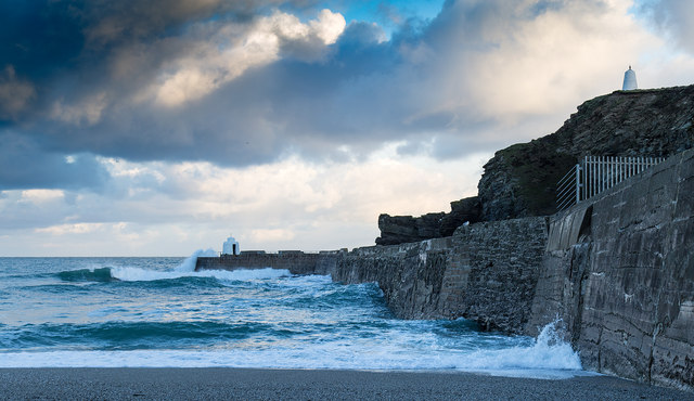
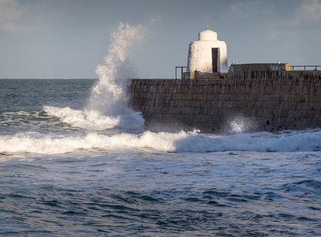
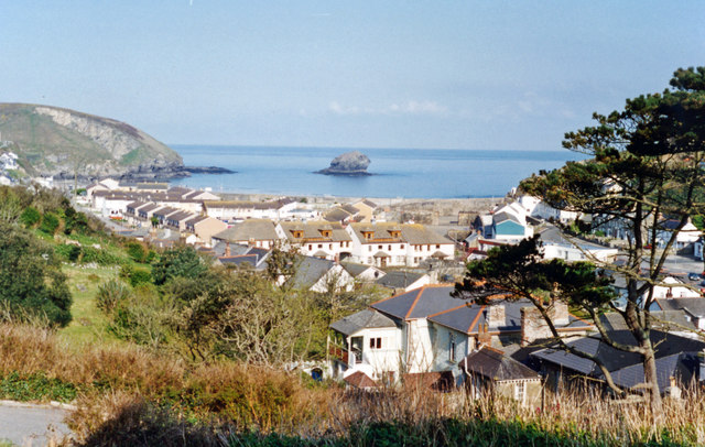
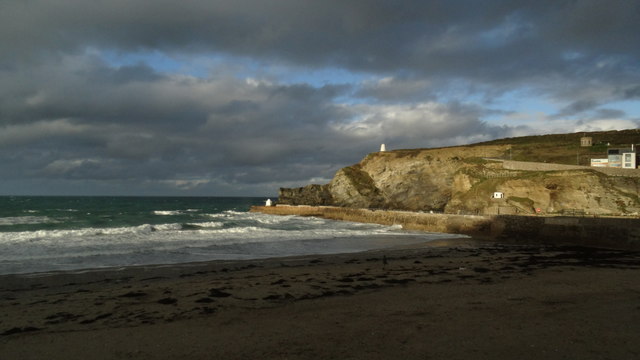
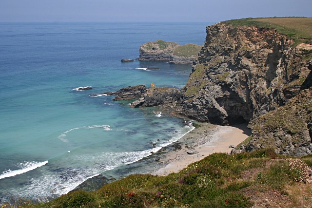
Samphire Island is a small, uninhabited island located off the coast of Cornwall, England. Situated in the Atlantic Ocean, it lies approximately 1.5 kilometers southwest of the village of Trevose Head. The island is part of the Padstow Bay Special Area of Conservation and is owned by the National Trust.

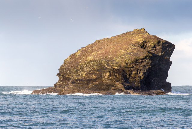
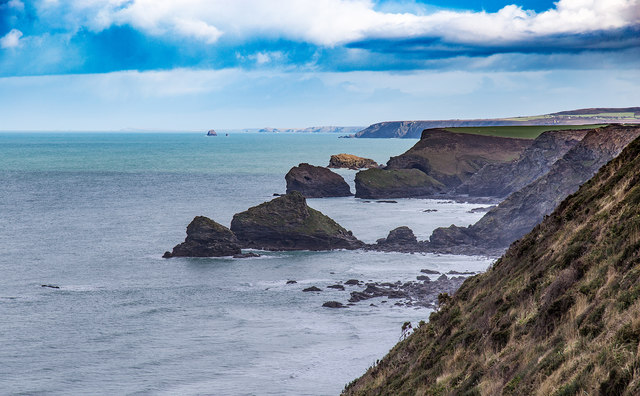
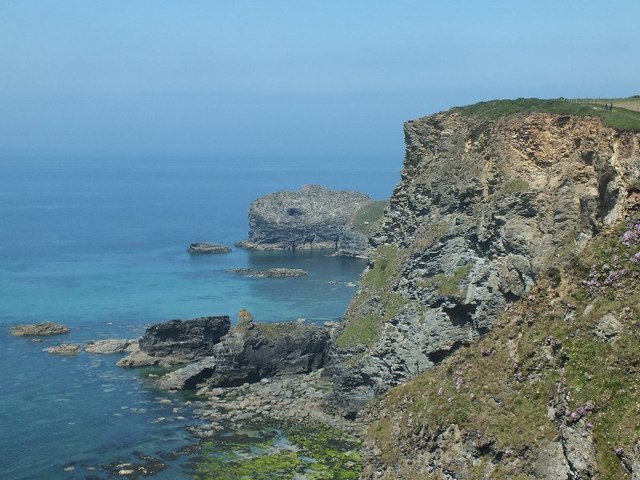
With an area of just 2.5 hectares, Samphire Island is characterized by its rugged and rocky terrain. The island is predominantly composed of slate and granite, which gives it a distinctive and picturesque appearance. It is surrounded by crystal-clear turquoise waters, which make it a popular spot for snorkeling and diving enthusiasts.

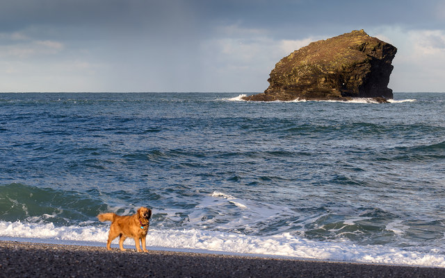
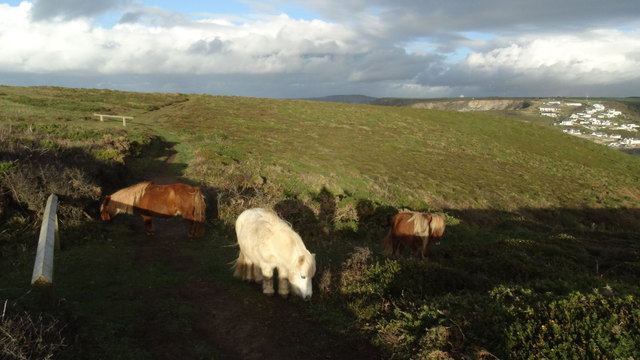
Despite its small size, Samphire Island boasts a diverse range of wildlife. The island is a designated bird sanctuary, providing a nesting site for a variety of seabirds, including razorbills, kittiwakes, and guillemots. It is also home to a colony of grey seals, which can often be seen basking on the rocks or swimming in the surrounding waters.

Access to Samphire Island is limited due to its protected status, and visitors are only permitted during low tide when a natural causeway is exposed. This ensures the preservation of the island's fragile ecosystem and prevents disturbance to its wildlife. As a result, exploring Samphire Island offers a unique and tranquil experience, allowing visitors to appreciate the beauty of this unspoiled natural haven.

If you have any feedback on the listing, please let us know in the comments section below.

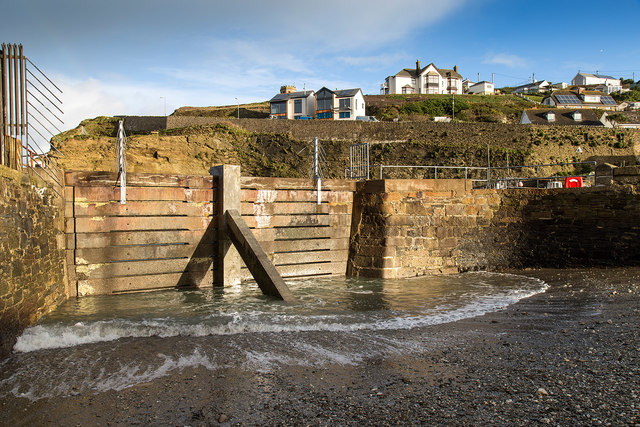
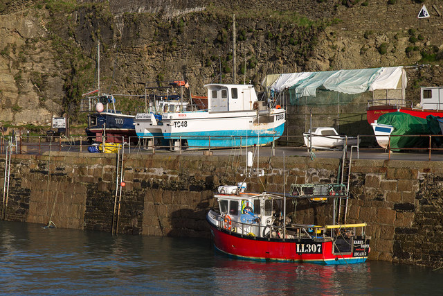
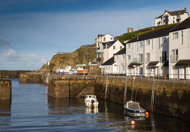
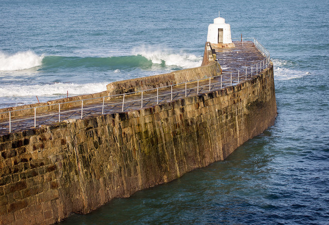
Samphire Island Images

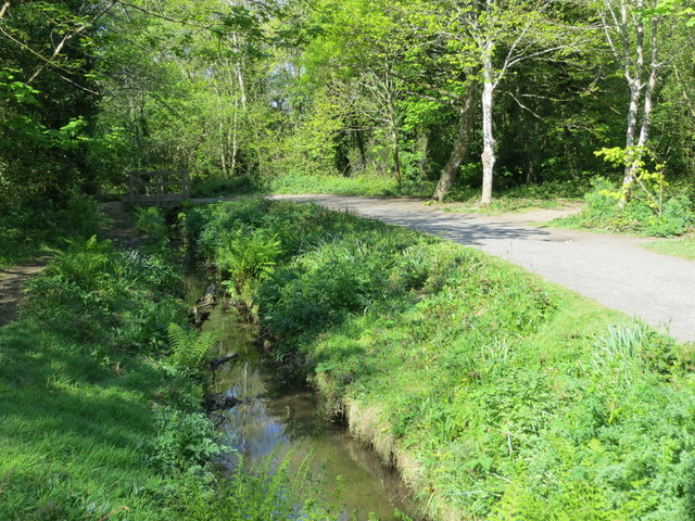
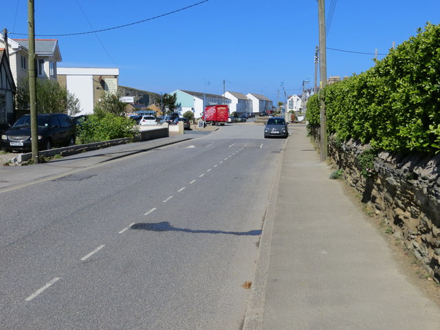
Images are sourced within 2km of 50.255589/-5.3137478 or Grid Reference SW6344. Thanks to Geograph Open Source API. All images are credited.

Dawn at Portreath The harbour wall from the beach early in the morning.
Dawn at Portreath
The harbour wall from the beach early in the morning.
Gull Rock From the beach at Portreath.
Gull Rock
From the beach at Portreath.
Gull Rock From the beach at Portreath
Gull Rock
From the beach at Portreath
Waves breaking over the harbour wall, Portreath Taken from the beach.
Waves breaking over the harbour wall, Portreath
Taken from the beach.
Blocked off harbour entrance, Portreath This old section of harbour has been blocked off by a concrete barrier.
Blocked off harbour entrance, Portreath
This old section of harbour has been blocked off by a concrete barrier.
The harbour, Portreath A fishing boat, LL307 Early Dawn, in Portreath harbour.
The harbour, Portreath
A fishing boat, LL307 Early Dawn, in Portreath harbour.
The harbour Portreath The harbour and harbour side apartments, in the early morning winter sunshine.
The harbour Portreath
The harbour and harbour side apartments, in the early morning winter sunshine.
The harbour wall, Portreath
View north east from North Cliffs The view extends past the cliffs and rocks in the foreground, past the Crane Islands in the middle distance, past Gull Rock off Portreath, to St. Agnes' Head in the far distance.
View north east from North Cliffs
The view extends past the cliffs and rocks in the foreground, past the Crane Islands in the middle distance, past Gull Rock off Portreath, to St. Agnes' Head in the far distance.
Coastline near Basset's Cove, near Portreath, Cornwall
Evening view westward from above Portreath Beach, 1995 View WNW to Gull Rock from B3301 road from Hayle.
Evening view westward from above Portreath Beach, 1995
View WNW to Gull Rock from B3301 road from Hayle.
Evening over Portreath, 1995 View northward descending on the B3301 road from Hayle. The harbour and its mole are seen clearly on the left, while Lighthouse Hill is seen zig-zagging up the hill from the town on the right.
Evening over Portreath, 1995
View northward descending on the B3301 road from Hayle. The harbour and its mole are seen clearly on the left, while Lighthouse Hill is seen zig-zagging up the hill from the town on the right.
Portreath: harbour, beach and Gull Rock, 1995 Northward view from Benson's B&B on the B3301 road from Hayle, for comparison the following morning with the view taken the evening before (my <a href="https://www.geograph.org.uk/photo/5003633">SW6545 : Evening view westward from above Portreath Beach, 1995</a>).
Portreath: harbour, beach and Gull Rock, 1995
Northward view from Benson's B&B on the B3301 road from Hayle, for comparison the following morning with the view taken the evening before (my SW6545 : Evening view westward from above Portreath Beach, 1995).
Shetland ponies above Western Cove, Portreath
The beach at Portreath
South Drive at Tehidy Country Park Looking north-westward.
South Drive at Tehidy Country Park
Looking north-westward.
Woodland path through Tehidy Country Park Looking westward.
Woodland path through Tehidy Country Park
Looking westward.
Penberthy Road in Portreath Looking westward.
Penberthy Road in Portreath
Looking westward.
Show me another place!

Samphire Island is located at Grid Ref: SW6344 (Lat: 50.255589, Lng: -5.3137478)

Unitary Authority: Cornwall

Police Authority: Devon and Cornwall

What 3 Words

///bookcases.nudge.void. Near Camborne, Cornwall

Related Wikis

Godrevy Head to St Agnes

Godrevy Head to St Agnes is a coastal Site of Special Scientific Interest (SSSI) in north Cornwall, England], noted for both its biological and geological...

Tehidy Country Park

Tehidy Country Park is a country park in Illogan in Cornwall, England which incorporates 250 acres (1.0 km2) of the parkland and estate around Tehidy House...

Porteath

Porteath is a hamlet in the parish of St Minver, Cornwall, England. == References ==

Portreath

Portreath (Cornish: Porthtreth or Porth Treth) is a civil parish, village and fishing port on the north coast of Cornwall, England, United Kingdom. The...

Nearby Amenities

Located within 500m of 50.255589,-5.3137478
Source: PGS
Lat/Long: 50.2583546/-5.3084416
Source: PGS
Lat/Long: 50.2578824/-5.309163
Source: PGS
Lat/Long: 50.2576447/-5.3092628
Source: PGS
Lat/Long: 50.2574522/-5.3096239
Source: PGS
Lat/Long: 50.2570851/-5.3100826
Source: PGS
Lat/Long: 50.2566365/-5.3109684
Source: PGS
Lat/Long: 50.2566186/-5.3109747
Source: PGS
Lat/Long: 50.2561264/-5.3105879
Source: PGS
Lat/Long: 50.2560024/-5.3104274
Source: PGS
Lat/Long: 50.2558405/-5.31039
Source: PGS
Lat/Long: 50.2558826/-5.3095194
Source: PGS
Lat/Long: 50.2554042/-5.3097923
Source: PGS
Lat/Long: 50.2550589/-5.3098306
Source: PGS
Lat/Long: 50.254738/-5.3098065
Source: PGS
Lat/Long: 50.2547566/-5.3115054
Source: PGS
Lat/Long: 50.2553696/-5.3136546
Source: PGS
Lat/Long: 50.2554346/-5.3133061
Source: PGS
Lat/Long: 50.2557688/-5.3131487
Source: PGS
Lat/Long: 50.2556966/-5.3142202
Source: PGS
Lat/Long: 50.2555616/-5.3144884
Source: PGS
Lat/Long: 50.2554811/-5.3145136
Source: PGS
Lat/Long: 50.2553661/-5.3139218
Source: PGS
Lat/Long: 50.2540204/-5.3121878
Source: PGS
Lat/Long: 50.2534966/-5.3122374
Source: PGS
Lat/Long: 50.2527809/-5.3124161
Source: PGS
Lat/Long: 50.2523497/-5.3130553
Source: PGS
Lat/Long: 50.25208/-5.3135793
Source: PGS
Lat/Long: 50.2519964/-5.3138179
Source: PGS
Lat/Long: 50.251606/-5.3142218
Porth-cadjack Cove
Natural: bay
Source: OD Streetview
Lat/Long: 50.255698/-5.3112997
The data included in this document is from www.openstreetmap.org. The data is made available under ODbL.

Have you been to Samphire Island?

Leave your review of Samphire Island below (or comments, questions and feedback).