Isle of Raasay

Island in Inverness-shire

Scotland

Isle of Raasay

Rocks at summit area of Dun Caan Beyond the summit area of the hill at the centre of the image, is Meall Daimh. Much further away, beyond the Sound of Raasay, is the Trotternish area of Skye.
Rocks at summit area of Dun Caan Credit: Trevor Littlewood

The requested URL returned error: 429 Too Many Requests

If you have any feedback on the listing, please let us know in the comments section below.

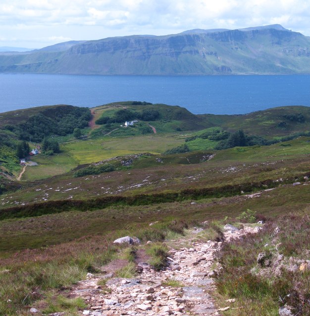
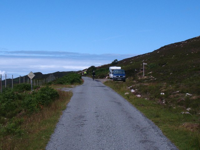
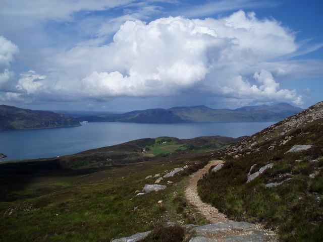
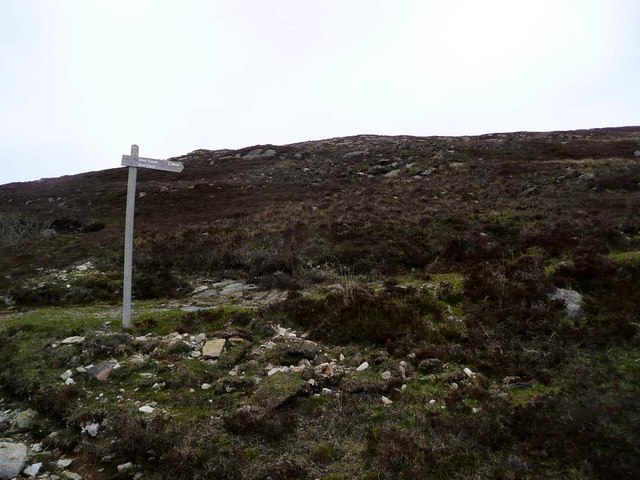
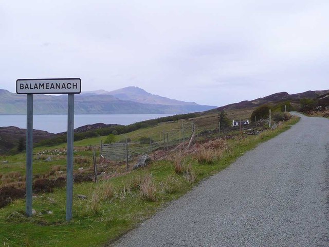
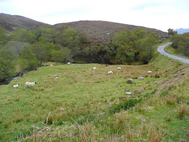
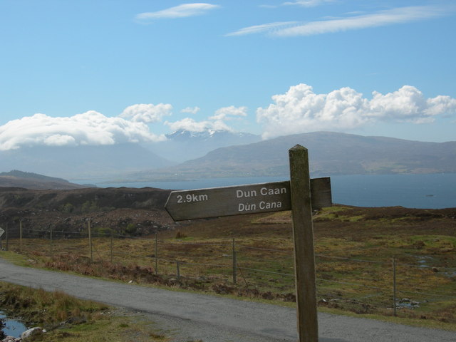
Isle of Raasay Images

Images are sourced within 2km of 57.395653/-6.0309264 or Grid Reference NG5741. Thanks to Geograph Open Source API. All images are credited.

Rocks at summit area of Dun Caan Beyond the summit area of the hill at the centre of the image, is Meall Daimh. Much further away, beyond the Sound of Raasay, is the Trotternish area of Skye.
Rocks at summit area of Dun Caan
Beyond the summit area of the hill at the centre of the image, is Meall Daimh. Much further away, beyond the Sound of Raasay, is the Trotternish area of Skye.
On the Dun Caan path Nearing the bottom of the excellent path from Dun Caan down to the road near Balmeanach. Across the Sound of Raasay are the big cliffs just north of Portree Bay.
On the Dun Caan path
Nearing the bottom of the excellent path from Dun Caan down to the road near Balmeanach. Across the Sound of Raasay are the big cliffs just north of Portree Bay.
Traffic approaching Traffic is a rare thing on Raasay, but here come two cyclists along the main N-S road on the island. The two parked vehicles are at the point where the hill path heads off towards Dun Caan.
Traffic approaching
Traffic is a rare thing on Raasay, but here come two cyclists along the main N-S road on the island. The two parked vehicles are at the point where the hill path heads off towards Dun Caan.
The path to Dun Caan Looking towards Portree Bay (left of centre) with The Storr and Trotternish Ridge in distance.
The path to Dun Caan
Looking towards Portree Bay (left of centre) with The Storr and Trotternish Ridge in distance.
The start of the Dun Caan path This route is shorter and less muddy than the one from Inverarish.
The start of the Dun Caan path
This route is shorter and less muddy than the one from Inverarish.
Sign for Balameanach Also spelt 'Balmeanach' by the OS.  The hills of the Trotternish ridge on Skye showing over the Sound of Raasay.
Sign for Balameanach
Also spelt 'Balmeanach' by the OS. The hills of the Trotternish ridge on Skye showing over the Sound of Raasay.
Starting off for the path to Inver
Start of Dùn Caan path Black Cuillin topped by clouds in the distance
Start of Dùn Caan path
Black Cuillin topped by clouds in the distance
Cottage, Balmeanach Overlooking the Sound of Raasay.
The mountains of Skye are in the background, with Glamaig on the left.
Cottage, Balmeanach
Overlooking the Sound of Raasay. The mountains of Skye are in the background, with Glamaig on the left.
East Coast Shielings And Waterfalls
Ruined buildings Looking down towards the remains of buildings alongside Allt Loch a' Chadha-chàrnaich.
Ruined buildings
Looking down towards the remains of buildings alongside Allt Loch a' Chadha-chàrnaich.
The East coast of Raasay
Dry stone wall Dry stone wall, and the remains of other structures.  There was no sign at this point of the path that is marked on the Ordnance Survey 1:50,000 map as following the East coast, and the bracken made progress difficult.
Dry stone wall
Dry stone wall, and the remains of other structures. There was no sign at this point of the path that is marked on the Ordnance Survey 1:50,000 map as following the East coast, and the bracken made progress difficult.
Northwards on the C1235 The only road connecting north and south Raasay, seen approaching Brae.
Northwards on the C1235
The only road connecting north and south Raasay, seen approaching Brae.
On the Dùn Caan Path This is the shortest and easiest route to the highest point on Raasay. It's mostly a good path with just an occasional boggy patch.
On the Dùn Caan Path
This is the shortest and easiest route to the highest point on Raasay. It's mostly a good path with just an occasional boggy patch.
Dùn Caan Path One of the few occasions when the sight of a pair of minibuses has been quite so welcome! Skye in the background.
Dùn Caan Path
One of the few occasions when the sight of a pair of minibuses has been quite so welcome! Skye in the background.
Spleenwort I think this may be Rustyback (Asplenium ceterach/Ceterach officinarum) but would welcome any help with identification.
Spleenwort
I think this may be Rustyback (Asplenium ceterach/Ceterach officinarum) but would welcome any help with identification.
Misshapen Tree This tree has had a hard time of it, growing by the roadside and exposed to westerly gales.
Misshapen Tree
This tree has had a hard time of it, growing by the roadside and exposed to westerly gales.
Show me another place!

Isle of Raasay is located at Grid Ref: NG5741 (Lat: 57.395653, Lng: -6.0309264)

Unitary Authority: Highland

Police Authority: Highlands and Islands

What 3 Words

///grew.control.group. Near Portree, Highland

Nearby Locations

Isle of Raasay

Related Wikis

Raasay

Raasay (; Scottish Gaelic: Ratharsair) or the Isle of Raasay is an island between the Isle of Skye and the mainland of Scotland. It is separated from Skye...
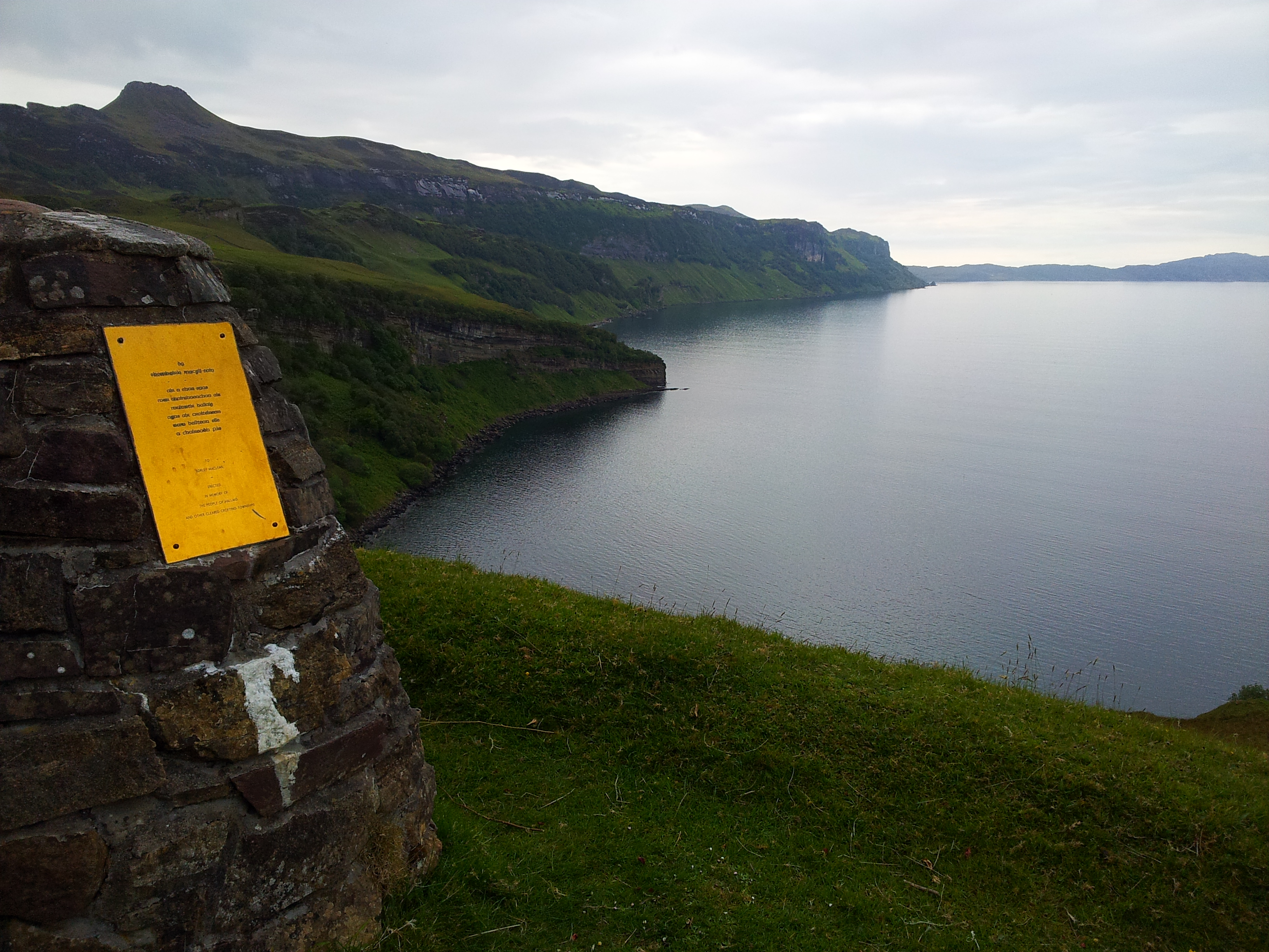
Hallaig

Hallaig is the most recognized poem of Sorley MacLean, an important Scottish poet of the 20th century. After writing it, MacLean rose to fame in the English...

Isle of Raasay distillery

Isle of Raasay distillery is a Scotch whisky distillery on the Inner Hebridean Isle of Raasay in Northwest Scotland. The distillery is owned by R&B Distillers...

Inverarish

Inverarish (Scottish Gaelic: Inbhir Àrais) is a village that is the main settlement of the Isle of Raasay, in the civil parish of Portree, in the council...

Have you been to Isle of Raasay?

Leave your review of Isle of Raasay below (or comments, questions and feedback).