Holm Island
Island in Inverness-shire
Scotland
Holm Island
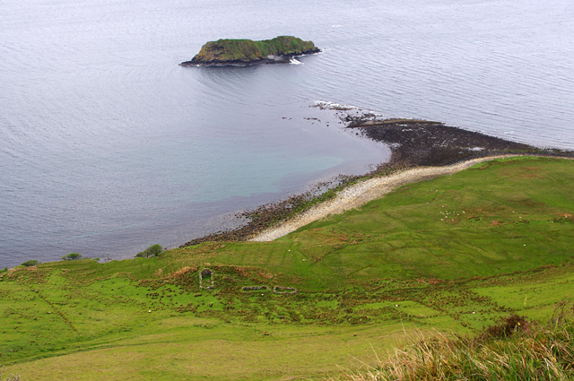
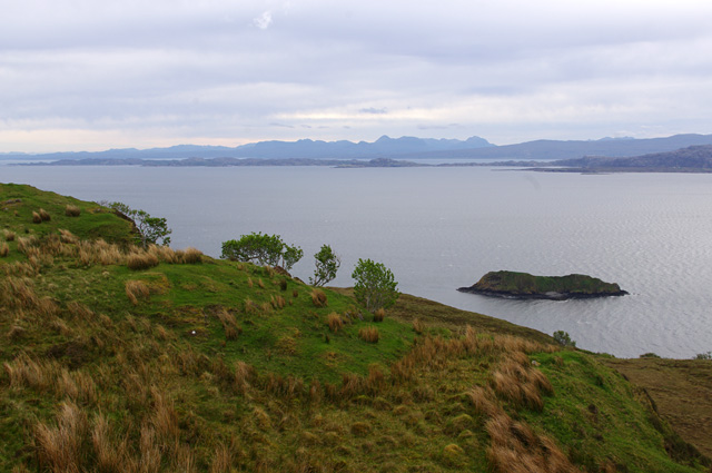
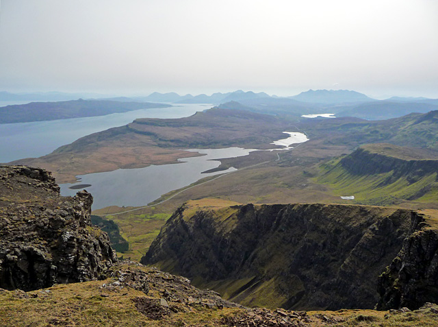
Holm Island is a small, uninhabited island located in the Inverness-shire region of Scotland. It is situated in the Beauly Firth, a body of water that separates the city of Inverness from the Black Isle. The island is approximately 1.5 miles long and 0.5 miles wide, with a total area of around 100 acres.
Holm Island is known for its picturesque scenery, with rugged cliffs, sandy beaches, and lush vegetation. The island is a popular destination for birdwatchers, as it is home to a variety of seabirds, including puffins, guillemots, and razorbills. It is also a haven for wildlife, with seals and otters often spotted along its shores.
Access to Holm Island is limited, as it is only accessible by boat. Visitors can arrange for boat trips to the island from nearby towns such as Inverness or Beauly. Once on the island, visitors can explore its rugged coastline, take in the stunning views, and enjoy a peaceful retreat from the hustle and bustle of city life.
Overall, Holm Island is a hidden gem in the Inverness-shire region, offering a tranquil and scenic escape for those looking to explore Scotland's natural beauty.
If you have any feedback on the listing, please let us know in the comments section below.
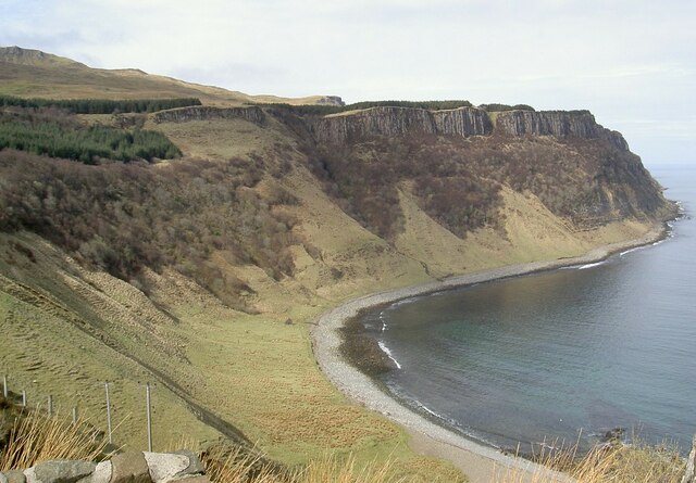
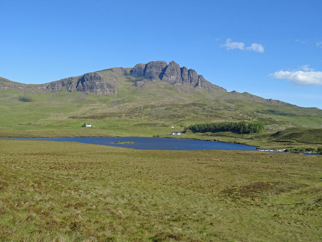
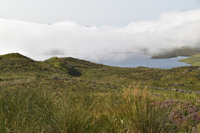
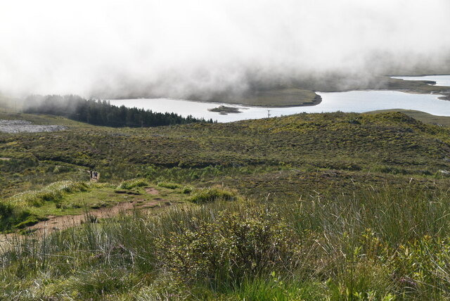
Holm Island Images
Images are sourced within 2km of 57.485179/-6.1318634 or Grid Reference NG5251. Thanks to Geograph Open Source API. All images are credited.
Holm Island is located at Grid Ref: NG5251 (Lat: 57.485179, Lng: -6.1318634)
Unitary Authority: Highland
Police Authority: Highlands and Islands
What 3 Words
///enable.wound.nurtures. Near Portree, Highland
Nearby Locations
Related Wikis
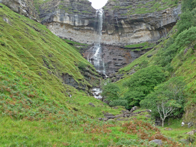
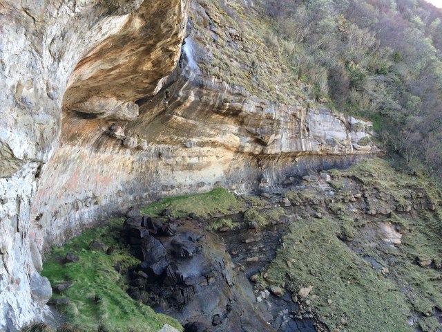
Bearreraig Waterfall
Bearreraig Waterfall is a waterfall of Scotland.It is located on the Trotternish peninsula of the island of Skye, on the Bearreraig River which runs from...

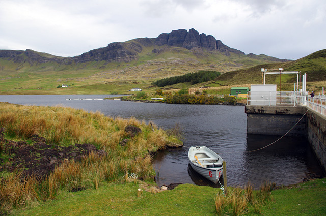
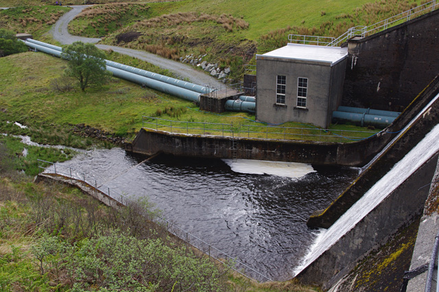
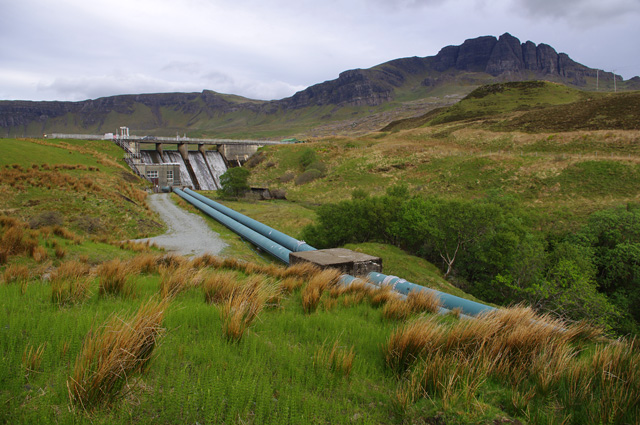
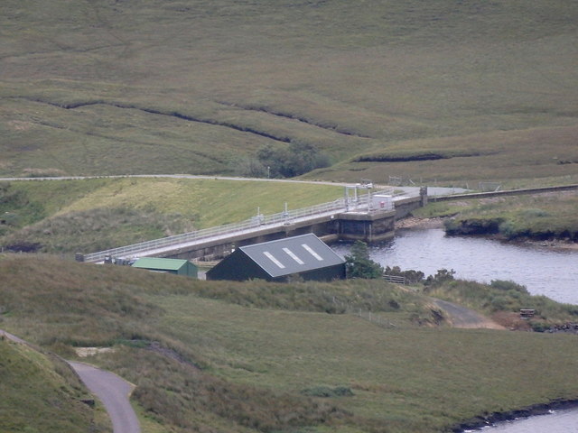
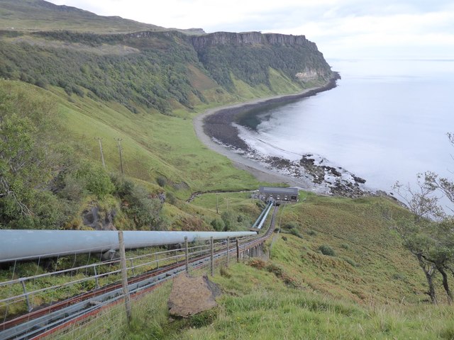
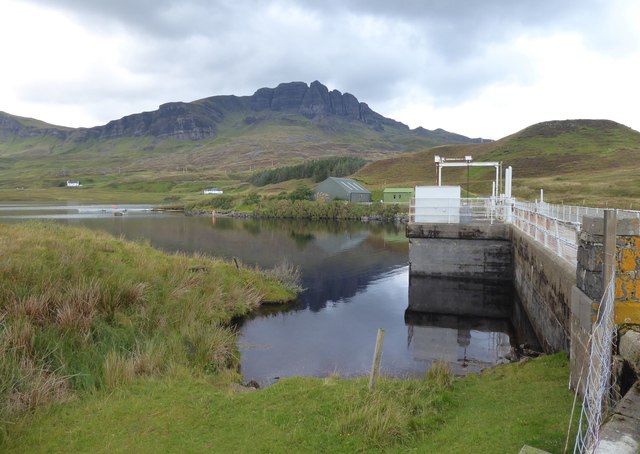
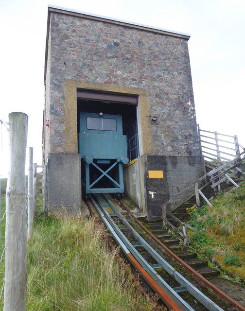
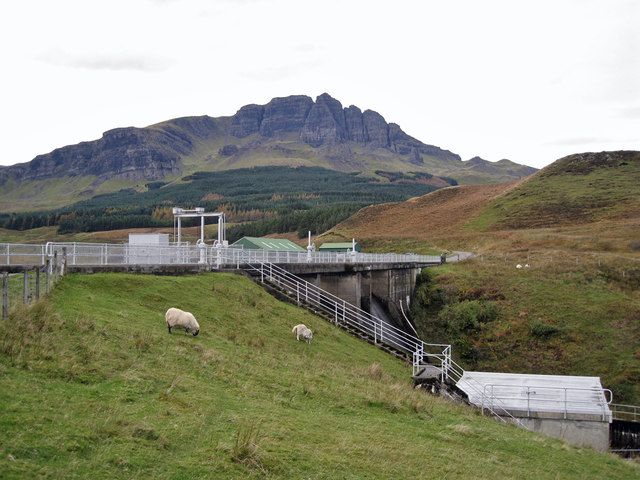
Storr Lochs Hydro-Electric Scheme
Storr Lochs is a hydro-electric power station built on the Isle of Skye, Inner Hebrides, Scotland and commissioned in 1952. It was built by the North of...

Bearreraig Sandstone Formation
The Bearreraig Sandstone Formation is a geological formation in Scotland. It preserves fossils dating back to the lower to middle parts of the Jurassic...
Sound of Raasay
The Sound of Raasay (Scottish Gaelic: Linne Ratharsair) is the sound between the islands of Raasay and Skye. == See also == Inner Sound, Scotland Isle...
Related Videos

The Old Man of Storr
filmed on isle of skye Scotland aug 2021.
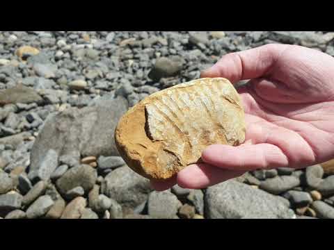
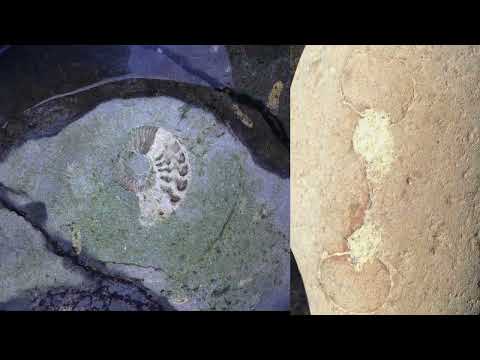
Jurassic fossils from Bearreriag Bay
Skye has the most extensive Jurassic sedimentary sequence in Scotland and is world-famous for its dinosaur fossils.

Bride Veil Falls - Isle Of Skye - Scotland 2023 - 4K Drone
isleofskye #brideveilfalls #scotland #waterfall A2 COFC Certified Drone Pilot.
Nearby Amenities
Located within 500m of 57.485179,-6.1318634Have you been to Holm Island?
Leave your review of Holm Island below (or comments, questions and feedback).