Little Bampton
Settlement in Cumberland Allerdale
England
Little Bampton
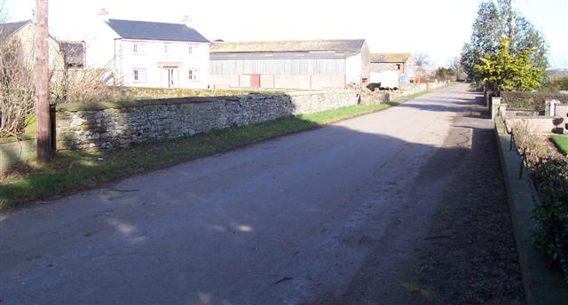
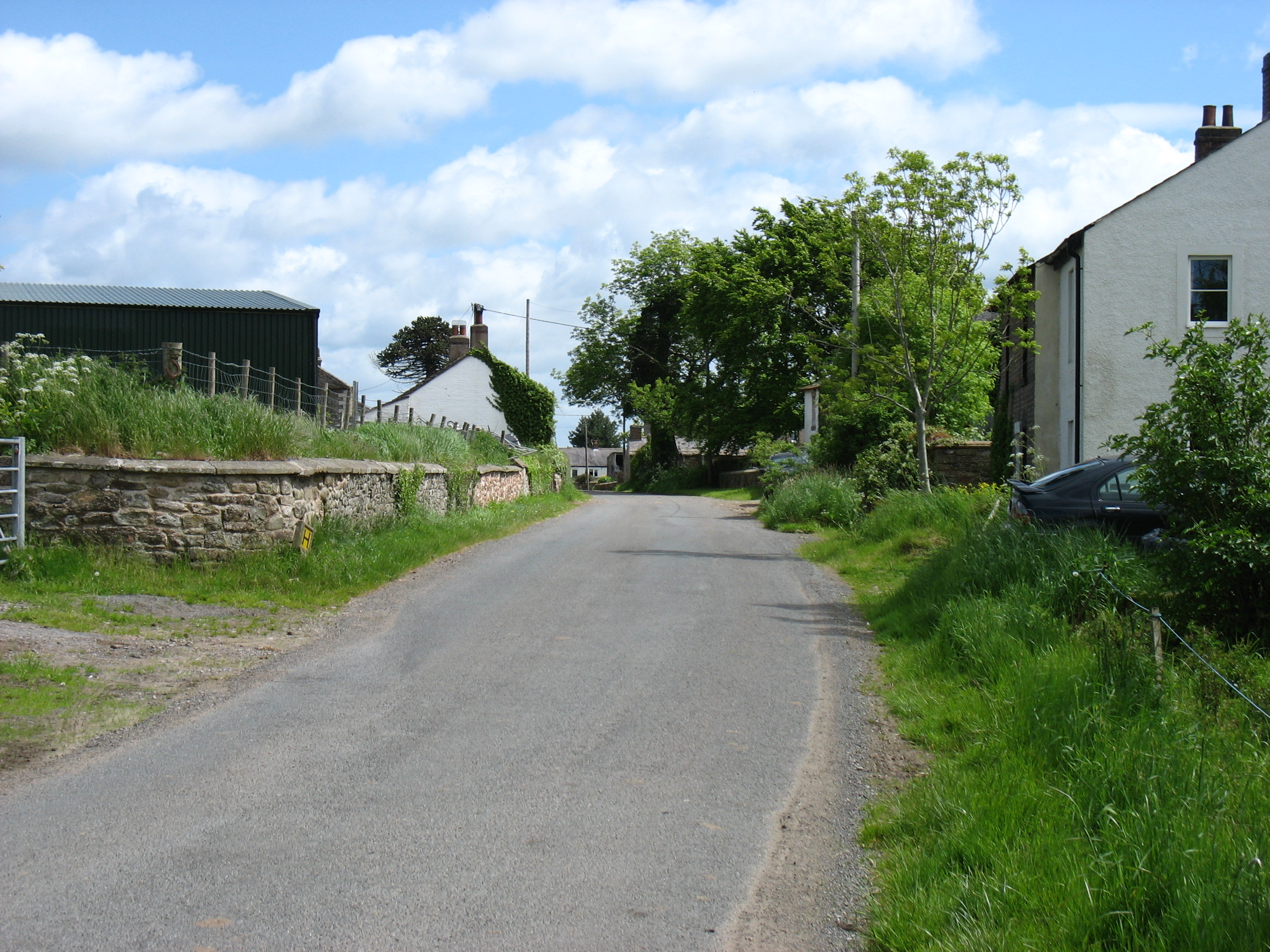
Little Bampton is a small, picturesque village located in the county of Cumberland, in the northwest of England. Nestled within the stunning countryside of the Lake District National Park, it is surrounded by rolling hills, green meadows, and babbling brooks. The village is situated approximately 6 miles northeast of the larger town of Penrith.
With a population of around 200 residents, Little Bampton exudes a charming and tight-knit community atmosphere. The village is composed of traditional stone-built cottages, some of which date back centuries, giving it a distinctive historic character. The local church, St. Mary's, stands proudly at the heart of the village, showcasing its rich heritage.
Little Bampton offers a tranquil and idyllic lifestyle, away from the hustle and bustle of urban areas. The surrounding countryside provides ample opportunities for outdoor activities such as hiking, cycling, and picnicking. The village is also known for its beautiful gardens, with many residents taking pride in their floral displays during the summer months.
Although small in size, Little Bampton has a close-knit community spirit, with regular events and gatherings taking place throughout the year. The village pub, The Bampton Arms, serves as a social hub, providing a welcoming atmosphere and a place to enjoy a pint or a hearty meal.
Overall, Little Bampton is a delightful village that offers a peaceful retreat for its residents and visitors, showcasing the natural beauty of the Lake District while preserving its rich cultural heritage.
If you have any feedback on the listing, please let us know in the comments section below.
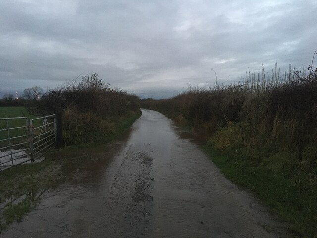
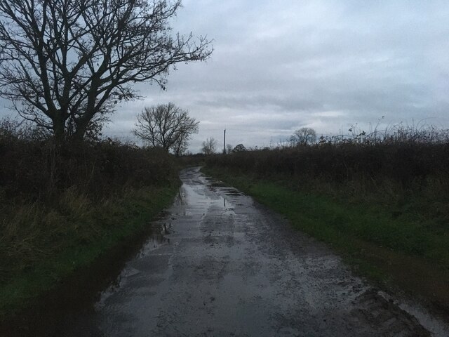
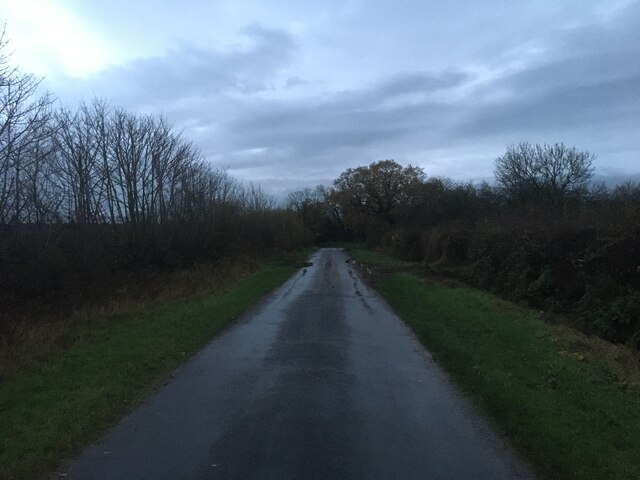
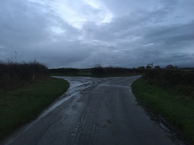
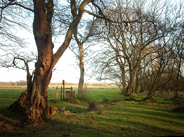
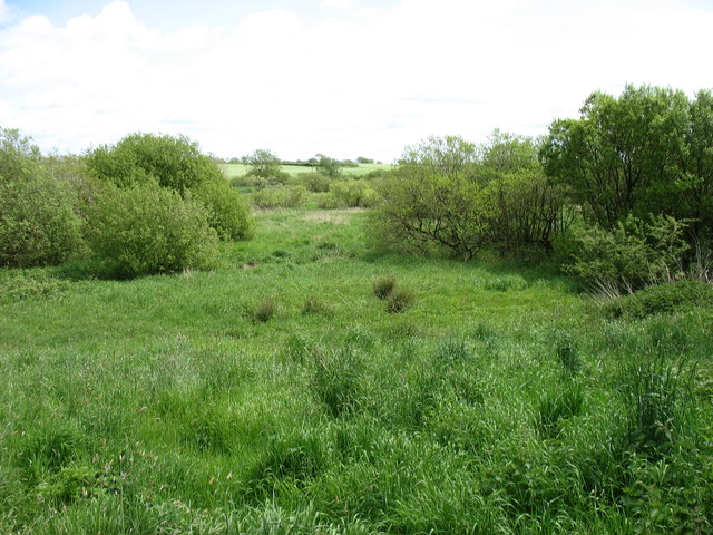
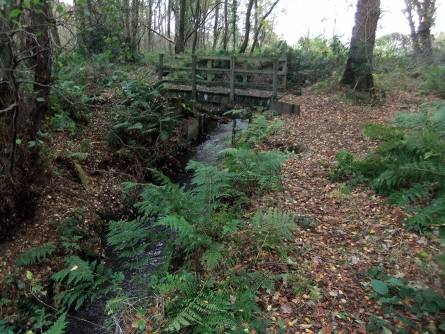
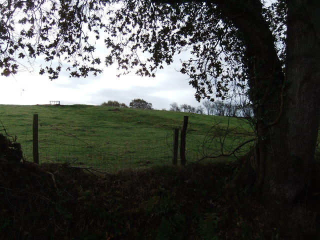
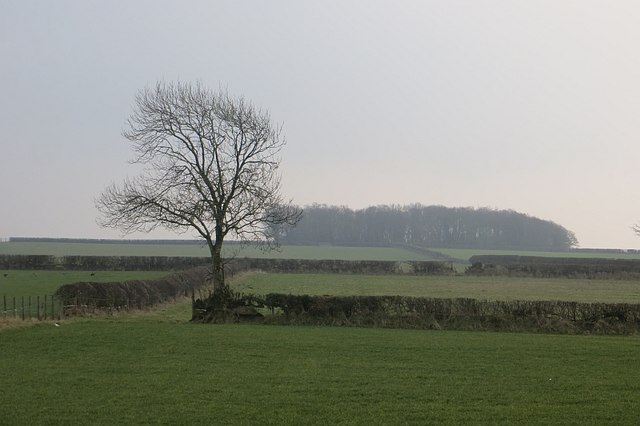
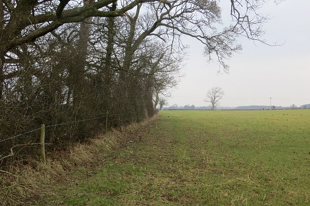
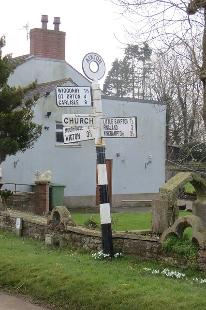
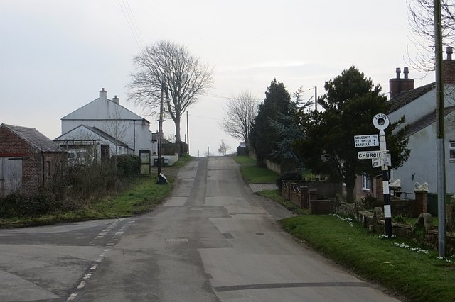
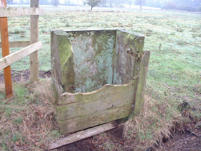
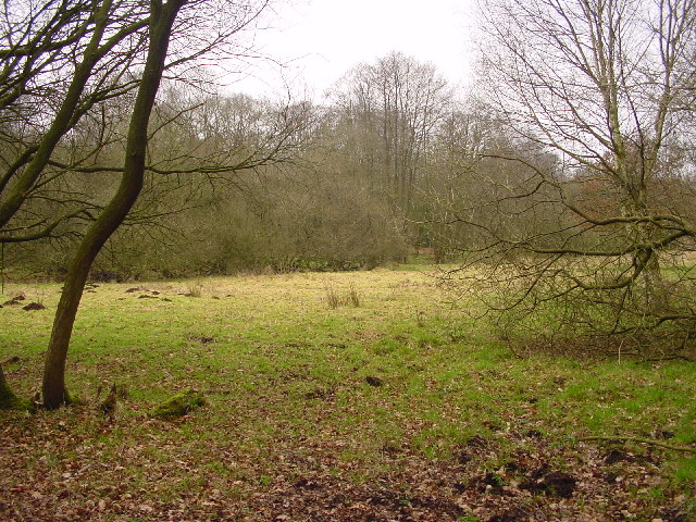
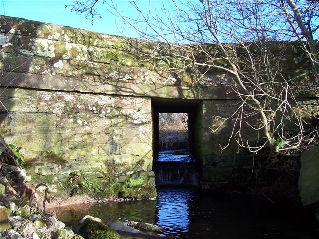
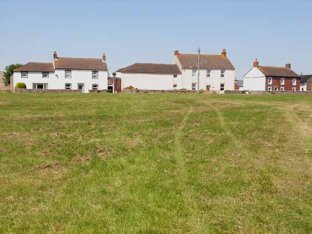
Little Bampton Images
Images are sourced within 2km of 54.886232/-3.137949 or Grid Reference NY2755. Thanks to Geograph Open Source API. All images are credited.


Little Bampton is located at Grid Ref: NY2755 (Lat: 54.886232, Lng: -3.137949)
Administrative County: Cumbria
District: Allerdale
Police Authority: Cumbria
What 3 Words
///split.grasp.dabble. Near Wigton, Cumbria
Nearby Locations
Related Wikis

Little Bampton
Little Bampton is a village in Cumbria situated 6 miles outside the market town of Wigton and 8 miles west of Carlisle, England. The village comprises...

Studholme, Cumbria
Studholme is a hamlet in the English county of Cumbria. Studholme is located about a mile north-west of the village of Little Bampton. == External links... ==

Aikton
Aikton is a small village in the north of the English county of Cumbria. The nearest town is Wigton 3 miles away, and the nearest city is Carlisle at 8...

Fingland
Fingland is a hamlet in the Allerdale district, in the county of Cumbria, England. Fingland is located on the B5307 road in between the villages of Kirkbride...
Oughterby
Oughterby is a hamlet in the English county of Cumbria. It is near the city of Carlisle and the village of Kirkbampton. For transport there is the B5307...
Biglands
Biglands is a hamlet in Cumbria, England. It is located to the north of Gamelsby, and east of the River Wampool.It is not the location of Milefortlet 1...

St Andrew's Church, Aikton
St Andrew's Church stands near the village of Aikton, Cumbria, England. It is an active Anglican parish church in the deanery of Carlisle, the archdeaconry...
Gamelsby
Gamelsby is a village near Aikton, Cumbria, England. It appears first in written records in 1305 as Gamelesby by Ayketon, and later as Gamelsby in 1332...
Nearby Amenities
Located within 500m of 54.886232,-3.137949Have you been to Little Bampton?
Leave your review of Little Bampton below (or comments, questions and feedback).