Bampton, Little
Settlement in Cumberland Allerdale
England
Bampton, Little
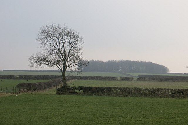
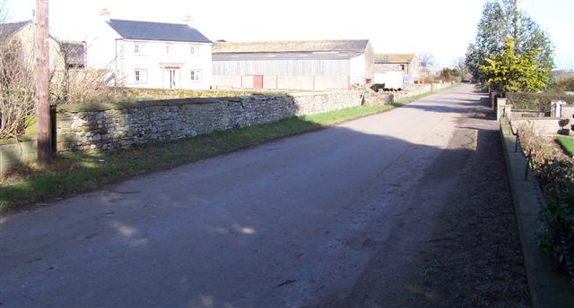
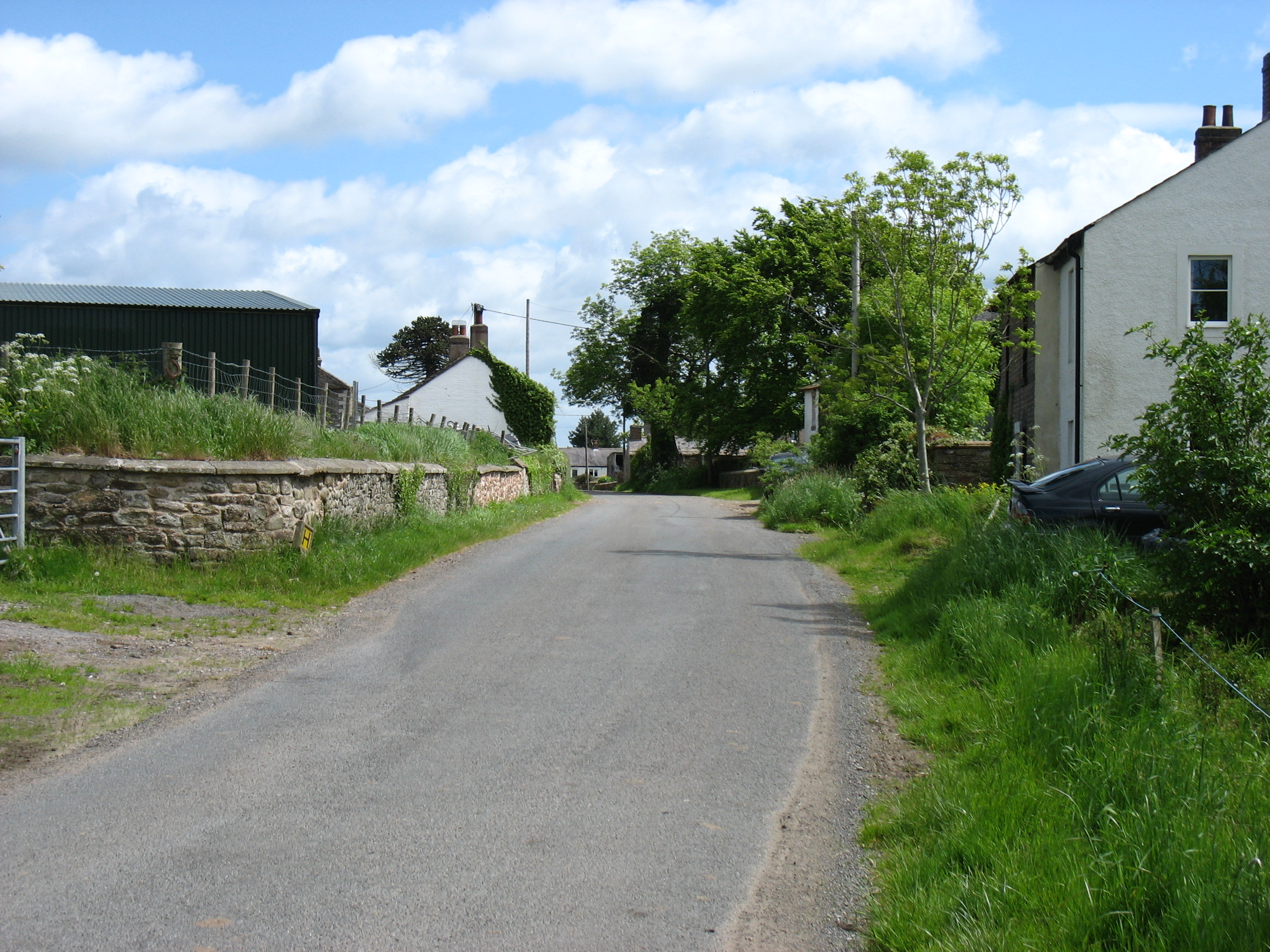
Bampton, Little is a small village located in the historic county of Cumberland, England. Situated in the picturesque Lake District National Park, Bampton, Little is surrounded by stunning natural beauty and offers a tranquil and idyllic setting for residents and visitors alike.
The village is characterized by its charming stone cottages, traditional architecture, and a close-knit community atmosphere. Bampton, Little is home to a population of around 200 residents, making it a tight-knit and friendly community.
The village is known for its rich history, with origins dating back to medieval times. Evidence of this history can be seen in the village's well-preserved historic buildings, including the St. Patrick's Church, which dates back to the 12th century. The church features intricate stained glass windows and a beautiful churchyard.
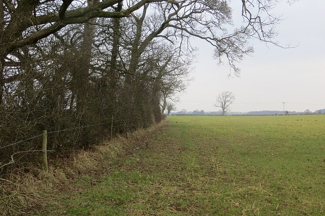
In terms of amenities, Bampton, Little has a village hall, a primary school, and a local pub, which serves as a social hub for residents. The surrounding countryside offers numerous walking and hiking trails, allowing visitors to explore the stunning landscapes of the Lake District National Park.
Bampton, Little is located in close proximity to other popular Lake District destinations, such as Ullswater and Haweswater, making it an ideal base for those looking to explore the wider area. Whether it's enjoying scenic walks, immersing oneself in history, or simply enjoying the tranquility of village life, Bampton, Little offers a charming and peaceful getaway in the heart of the Lake District.
If you have any feedback on the listing, please let us know in the comments section below.
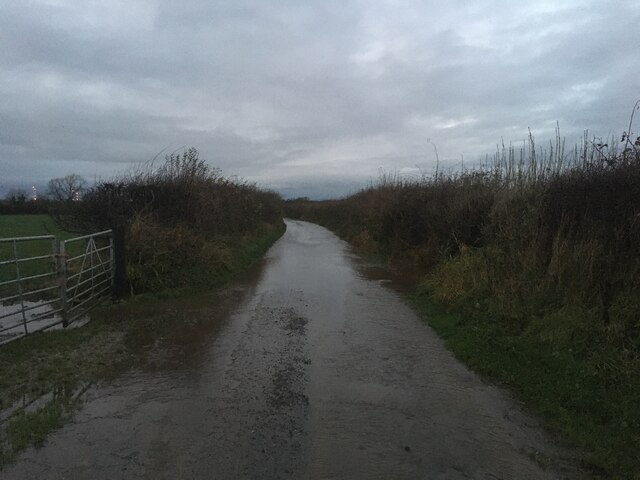
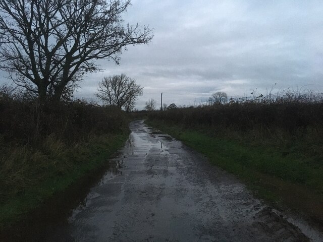
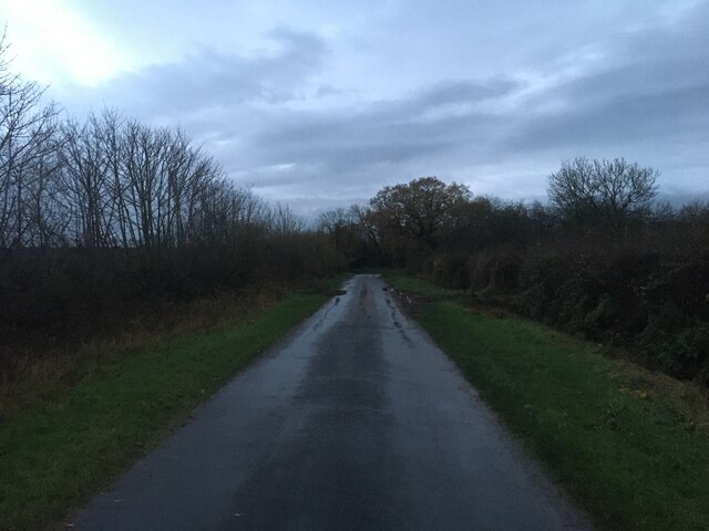
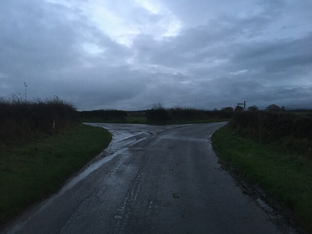
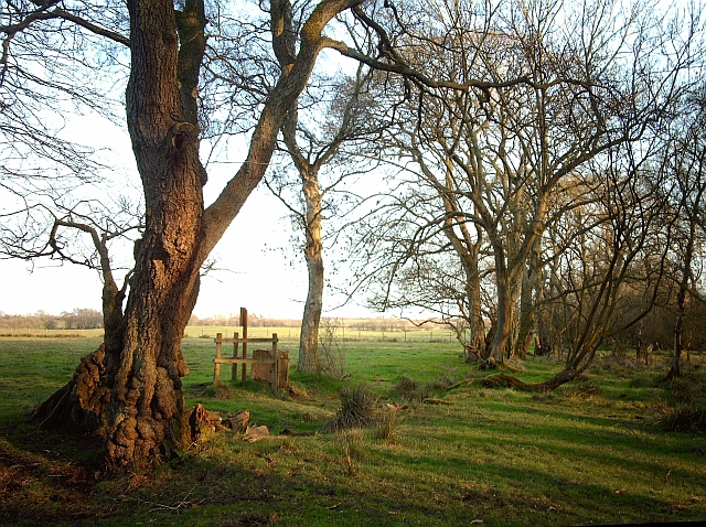
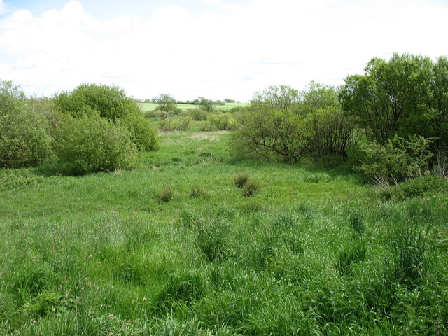
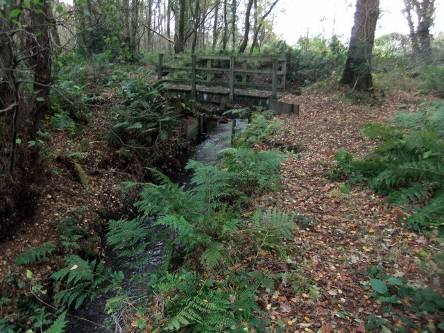
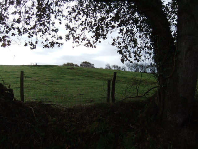
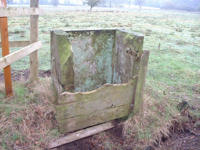
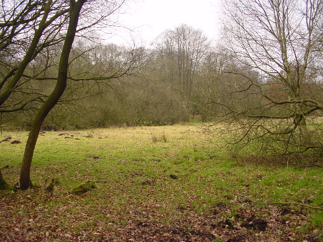
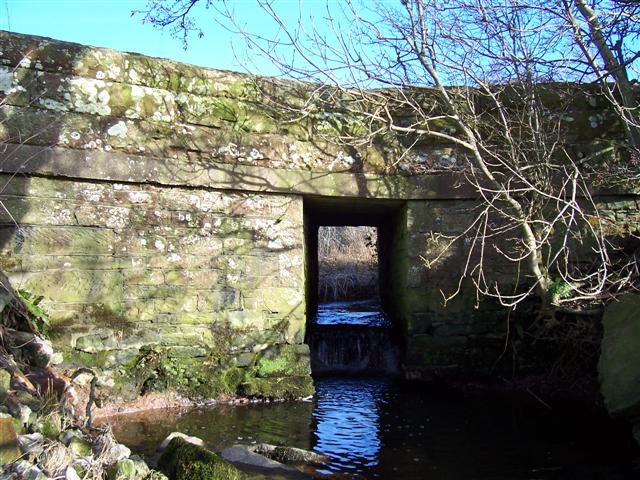
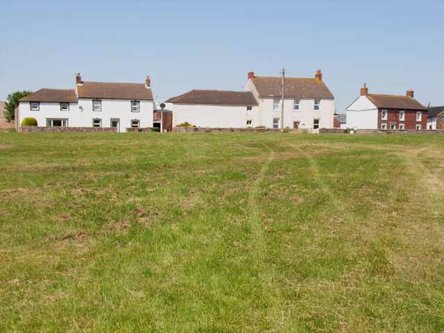
Bampton, Little Images
Images are sourced within 2km of 54.886232/-3.137949 or Grid Reference NY2755. Thanks to Geograph Open Source API. All images are credited.


Bampton, Little is located at Grid Ref: NY2755 (Lat: 54.886232, Lng: -3.137949)
Administrative County: Cumbria
District: Allerdale
Police Authority: Cumbria
What 3 Words
///split.grasp.dabble. Near Wigton, Cumbria
Nearby Locations
Related Wikis

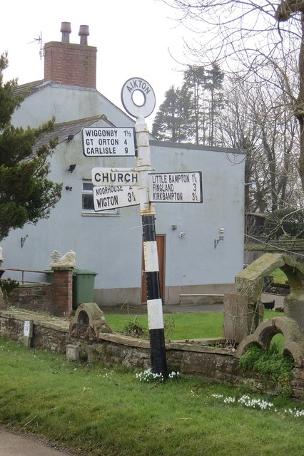
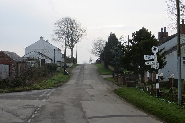
Little Bampton
Little Bampton is a village in Cumbria situated 6 miles outside the market town of Wigton and 8 miles west of Carlisle, England. The village comprises...

Studholme, Cumbria
Studholme is a hamlet in the English county of Cumbria. Studholme is located about a mile north-west of the village of Little Bampton. == External links... ==

Aikton
Aikton is a small village in the north of the English county of Cumbria. The nearest town is Wigton 3 miles away, and the nearest city is Carlisle at 8...

Fingland
Fingland is a hamlet in the Allerdale district, in the county of Cumbria, England. Fingland is located on the B5307 road in between the villages of Kirkbride...
Oughterby
Oughterby is a hamlet in the English county of Cumbria. It is near the city of Carlisle and the village of Kirkbampton. For transport there is the B5307...
Biglands
Biglands is a hamlet in Cumbria, England. It is located to the north of Gamelsby, and east of the River Wampool.It is not the location of Milefortlet 1...

St Andrew's Church, Aikton
St Andrew's Church stands near the village of Aikton, Cumbria, England. It is an active Anglican parish church in the deanery of Carlisle, the archdeaconry...
Gamelsby
Gamelsby is a village near Aikton, Cumbria, England. It appears first in written records in 1305 as Gamelesby by Ayketon, and later as Gamelsby in 1332...
Nearby Amenities
Located within 500m of 54.886232,-3.137949Have you been to Bampton, Little?
Leave your review of Bampton, Little below (or comments, questions and feedback).