Ceann nan Sgeirean
Island in Argyllshire
Scotland
Ceann nan Sgeirean
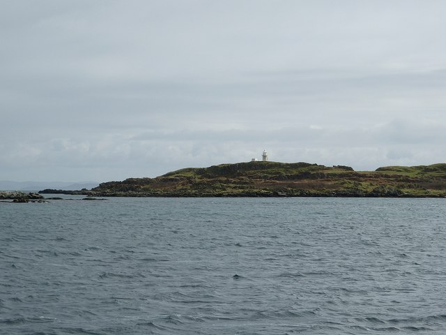
Ceann nan Sgeirean is a small island located in Argyllshire, Scotland. It is situated in the Inner Hebrides, specifically in the Firth of Lorn, and is part of the Mull and Iona parish. The island is approximately 1.5 acres in size and is uninhabited.
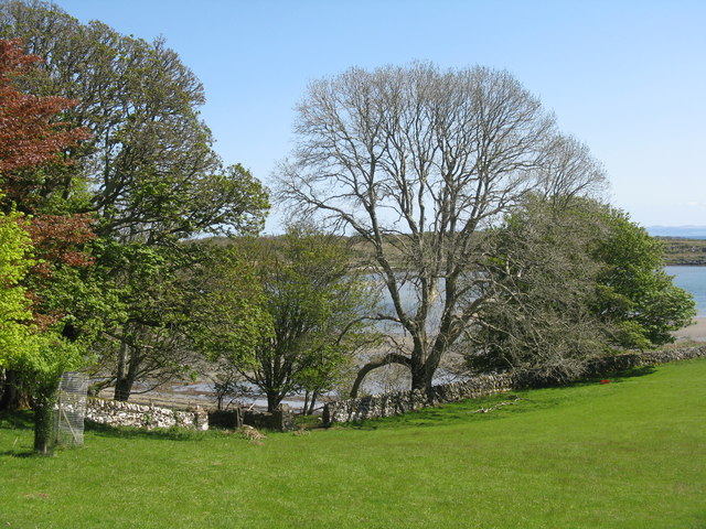
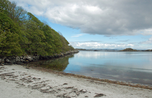
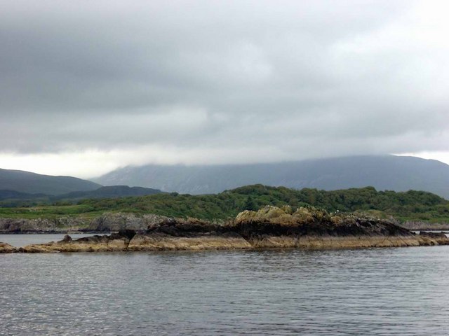
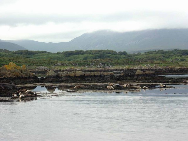
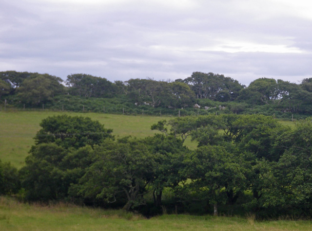
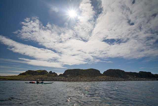
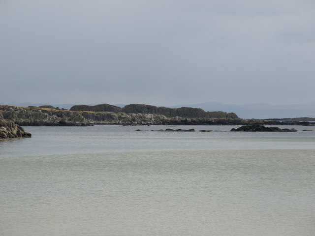
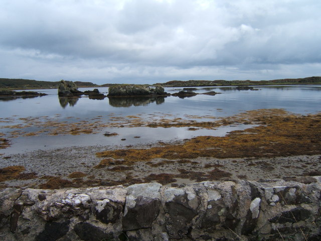
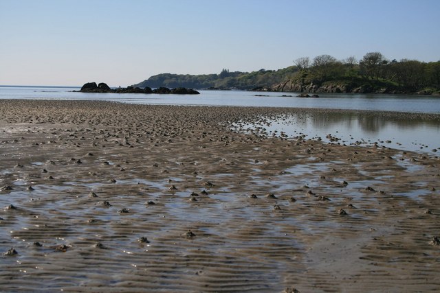
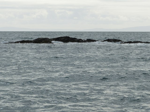
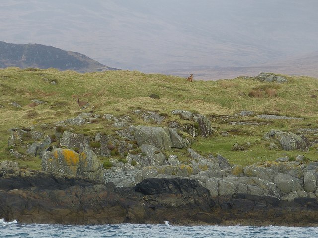
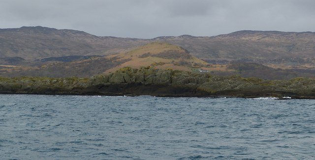
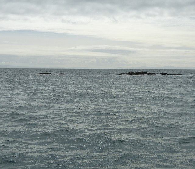
Ceann nan Sgeirean is known for its stunning natural beauty and rugged landscape. It is characterized by its rocky cliffs and sea stacks, which provide a habitat for a variety of seabirds, including guillemots, razorbills, and puffins. The island is also surrounded by clear blue waters, making it a popular spot for diving and snorkeling enthusiasts.
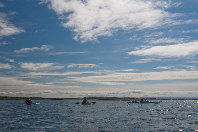
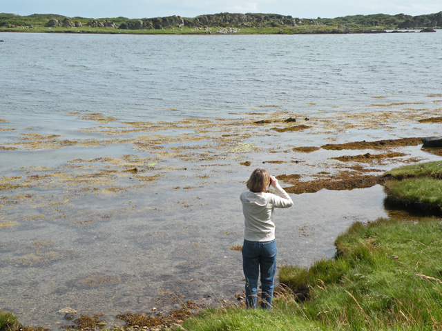
Access to Ceann nan Sgeirean is primarily by boat, as there are no permanent structures or facilities on the island. Visitors can explore the island's unique rock formations and enjoy panoramic views of the surrounding sea and mainland. The island is also a great spot for wildlife enthusiasts, as seals and dolphins can often be spotted in the waters surrounding the island.
Due to its remote location and lack of amenities, Ceann nan Sgeirean is an ideal destination for those seeking a peaceful and tranquil getaway. It offers a chance to disconnect from the hustle and bustle of daily life and immerse oneself in the beauty of nature. However, visitors are advised to be mindful of their impact on the fragile ecosystem and to leave no trace when visiting the island.
If you have any feedback on the listing, please let us know in the comments section below.
Ceann nan Sgeirean Images
Images are sourced within 2km of 55.654221/-6.045605 or Grid Reference NR4547. Thanks to Geograph Open Source API. All images are credited.


Ceann nan Sgeirean is located at Grid Ref: NR4547 (Lat: 55.654221, Lng: -6.045605)
Unitary Authority: Argyll and Bute
Police Authority: Argyll and West Dunbartonshire
What 3 Words
///fall.draining.digesting. Near Port Ellen, Argyll & Bute
Nearby Locations
Related Wikis

Kildalton Castle
Kildalton Castle is a ruined Victorian country house near Port Ellen on the island of Islay in the Inner Hebrides, Argyll, Scotland. It was built in ashlar...
Loch an t-Sailein
Loch an t-Sailein is a sea loch at the southeast coast of Islay, Scotland. European seals frequently visit the shallow waters of this loch. A number of...

Ardilistry
Ardilistry is a settlement in Argyll and Bute, Scotland. == References ==

Kildalton Cross
The Kildalton Cross is a monolithic high cross in Celtic cross form in the churchyard of the former parish church of Kildalton (from Scottish Gaelic Cill...

Ardbeg distillery
Ardbeg distillery (Scottish Gaelic: Taigh-staile na h-Àirde Bige) is a Scotch whisky distillery in Ardbeg on the south coast of the isle of Islay, Argyll...

Aros Bay
Aros Bay is an embayment of ocean waters near the southeast of Islay, Scotland. == See also == Claggain Bay == Line notes == == References == Alexander...

Dunyvaig Castle
Dunyvaig Castle, (Scottish Gaelic: Dùn Naomhaig, Anglicised Fort of the galleys, also known as Dunnyveg) is located on the south side of Islay, in Argyll...
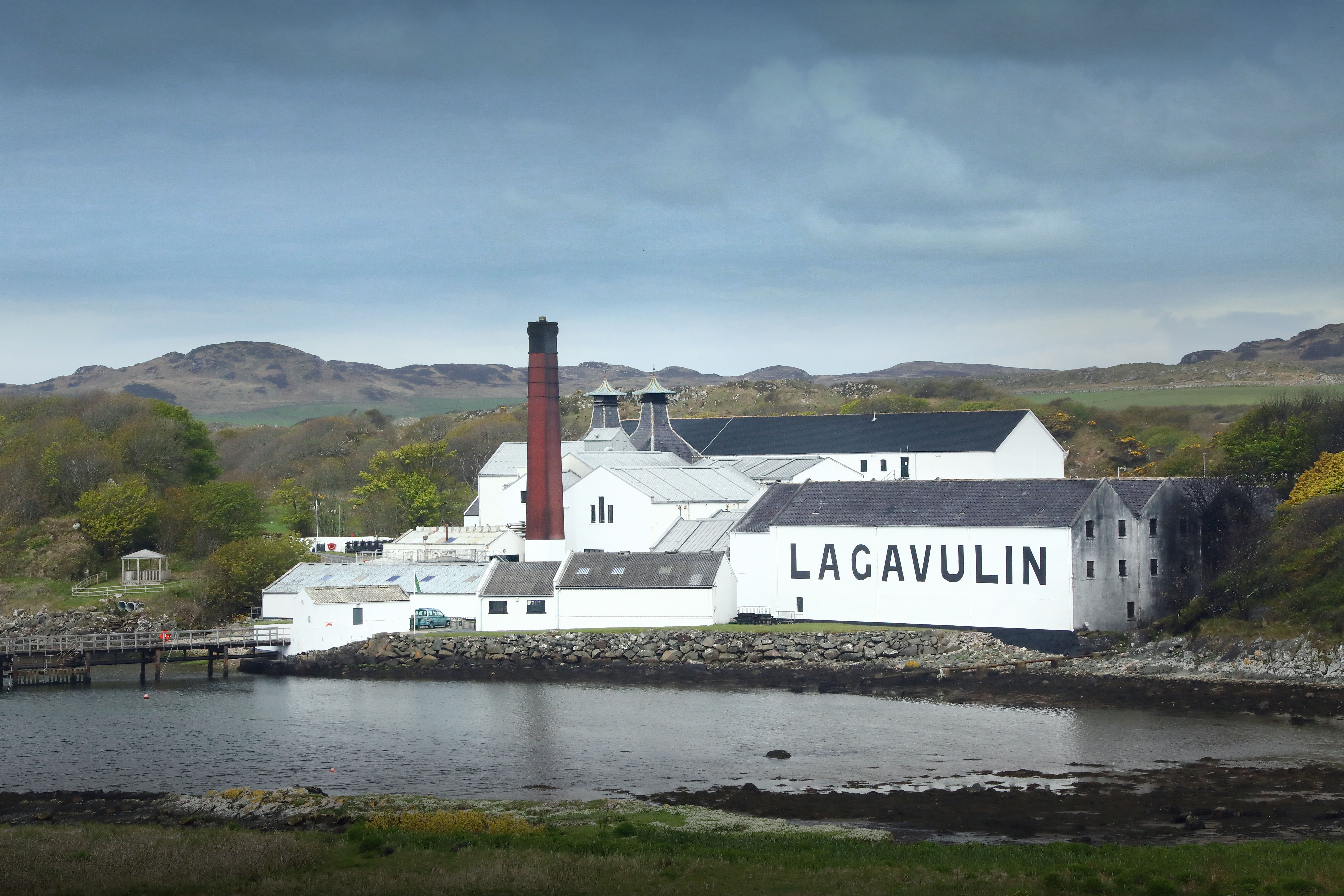
Lagavulin distillery
Lagavulin distillery is a malt whisky distillery in the village of Lagavulin on the south of the island of Islay, Scotland. It distills spirit that will...
Nearby Amenities
Located within 500m of 55.654221,-6.045605Have you been to Ceann nan Sgeirean?
Leave your review of Ceann nan Sgeirean below (or comments, questions and feedback).