Ayton, Little
Settlement in Yorkshire Hambleton
England
Ayton, Little

Ayton, Little is a picturesque village located in the county of Yorkshire, England. Situated in the northern part of the county, it is nestled amidst rolling hills and stunning landscapes. The village is part of the Ryedale district and is surrounded by several other small settlements, creating a close-knit community.
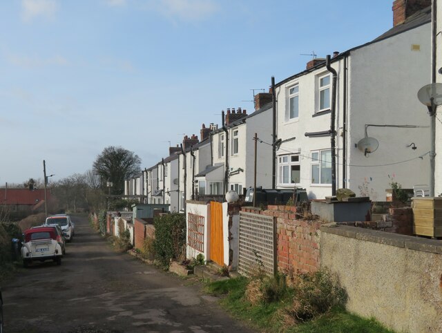
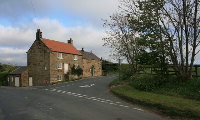
Ayton, Little is known for its quaint and charming atmosphere, with traditional stone buildings and well-manicured gardens lining its narrow streets. The village is home to a small population, fostering a friendly and welcoming environment for residents and visitors alike.
Despite its small size, Ayton, Little boasts a rich history that can be traced back several centuries. The village retains much of its historical character, with architectural remnants from different eras, including a medieval church and a few Victorian-era buildings.
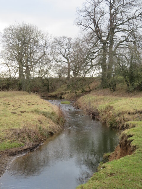
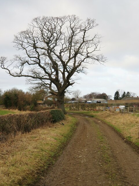
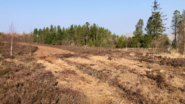
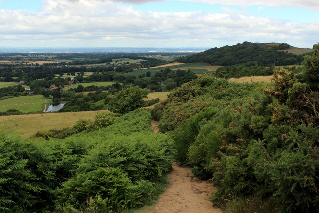
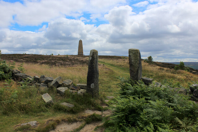
The surrounding countryside offers a plethora of outdoor recreational activities, making Ayton, Little an ideal destination for nature enthusiasts. The nearby Yorkshire Moors provide ample opportunities for hiking, cycling, and birdwatching, while the picturesque River Derwent is a popular spot for fishing and boating.
The village is also conveniently located near several amenities. The market town of Malton is just a short drive away, offering a range of shops, restaurants, and entertainment options. Additionally, Ayton, Little benefits from excellent transport links, with easy access to major roads and rail connections to larger cities like York and Leeds.
Overall, Ayton, Little offers a tranquil and idyllic lifestyle, combining natural beauty with a strong sense of community and a rich historical heritage.
If you have any feedback on the listing, please let us know in the comments section below.
Ayton, Little Images
Images are sourced within 2km of 54.484168/-1.122574 or Grid Reference NZ5610. Thanks to Geograph Open Source API. All images are credited.


Ayton, Little is located at Grid Ref: NZ5610 (Lat: 54.484168, Lng: -1.122574)
Division: North Riding
Administrative County: North Yorkshire
District: Hambleton
Police Authority: North Yorkshire
What 3 Words
///scarves.interacts.dandelions. Near Great Ayton, North Yorkshire
Nearby Locations
Related Wikis

Little Ayton
Little Ayton is a village and civil parish in Hambleton District of North Yorkshire, England and lies immediately south of Great Ayton. The population...

Great Ayton railway station
Great Ayton is a railway station on the Esk Valley Line, which runs between Middlesbrough and Whitby via Nunthorpe. The station, situated 8 miles 37 chains...
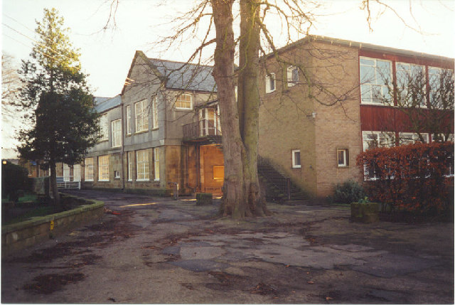
Great Ayton Friends' School
Great Ayton Friends' School (1841–1997) in Great Ayton, North Yorkshire, England, was an independent, co-educational, agricultural boarding school, run...

Great Ayton
Great Ayton is a village and civil parish in North Yorkshire, England. The River Leven (a tributary of the River Tees) flows through the village, which...
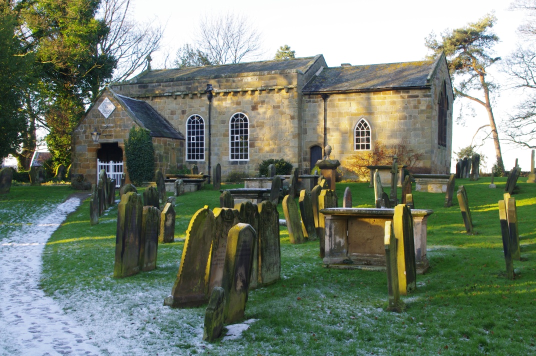
Church of All Saints, Great Ayton
The Church of All Saints is a grade I listed building and former parish church for Great Ayton, North Yorkshire, England. The churchyard is known to contain...
Easby, Hambleton
Easby is a village and civil parish in Hambleton District of North Yorkshire, England. It lies approximately 2 miles (3.2 km) south-east of Great Ayton...

Cleveland, Yorkshire
Cleveland is a land of hills and dales from the River Tees to Vale of Pickering, England. The name means “cliff-land”. The area corresponds to the former...

Langbaurgh Ridge
Langbaurgh Ridge (grid reference NZ560121) is an 8.0 hectare geological Site of Special Scientific Interest near the hamlet of Langbaurgh in North Yorkshire...
Nearby Amenities
Located within 500m of 54.484168,-1.122574Have you been to Ayton, Little?
Leave your review of Ayton, Little below (or comments, questions and feedback).