Ayton, Great
Settlement in Yorkshire Hambleton
England
Ayton, Great

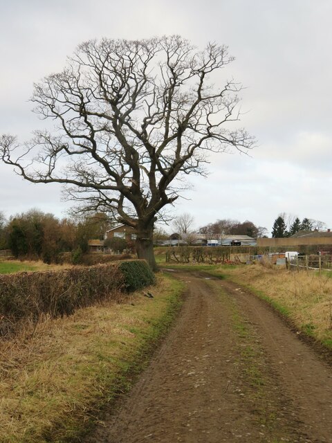
Ayton is a small village located in the district of Great Ayton, Yorkshire, England. Situated on the northern edge of the North York Moors National Park, it is surrounded by breathtaking natural beauty. With a population of around 4,000, Ayton exudes a charming, close-knit community atmosphere.
The village is steeped in history, with evidence of human habitation dating back to the prehistoric era. Ayton boasts several historical landmarks, including the picturesque Ayton Castle, a 19th-century mansion built in the Gothic Revival style. This stunning building is now privately owned and serves as a private residence.
Great Ayton is also renowned as the birthplace of Captain James Cook, one of the most celebrated explorers and navigators in history. A prominent memorial statue of Cook stands in the village center, paying tribute to his significant contributions to maritime exploration.
The village offers a range of amenities and facilities for both residents and visitors. There are traditional pubs, quaint tea rooms, and local shops that provide a delightful taste of rural life. Additionally, Ayton hosts an annual fair, attracting visitors from near and far.
Nature lovers are drawn to Ayton for its proximity to the North York Moors, offering countless opportunities for hiking, cycling, and wildlife spotting. The village is also home to several parks and green spaces, providing ample opportunities for recreation and relaxation.
Overall, Ayton, Great, Yorkshire offers a harmonious blend of history, natural beauty, and community spirit, making it a truly captivating place to visit or call home.
If you have any feedback on the listing, please let us know in the comments section below.
Ayton, Great Images
Images are sourced within 2km of 54.488543/-1.132221 or Grid Reference NZ5610. Thanks to Geograph Open Source API. All images are credited.


Ayton, Great is located at Grid Ref: NZ5610 (Lat: 54.488543, Lng: -1.132221)
Division: North Riding
Administrative County: North Yorkshire
District: Hambleton
Police Authority: North Yorkshire
What 3 Words
///vented.stressed.habits. Near Great Ayton, North Yorkshire
Nearby Locations
Related Wikis

Great Ayton
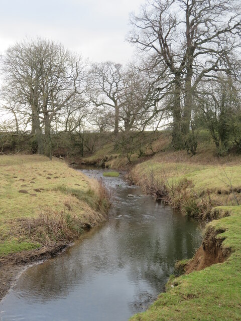
Great Ayton is a village and civil parish in North Yorkshire, England. The River Leven (a tributary of the River Tees) flows through the village, which...
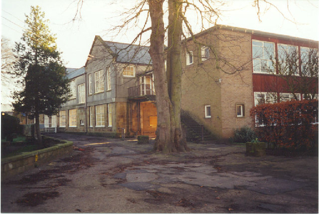
Great Ayton Friends' School
Great Ayton Friends' School (1841–1997) in Great Ayton, North Yorkshire, England, was an independent, co-educational, agricultural boarding school, run...
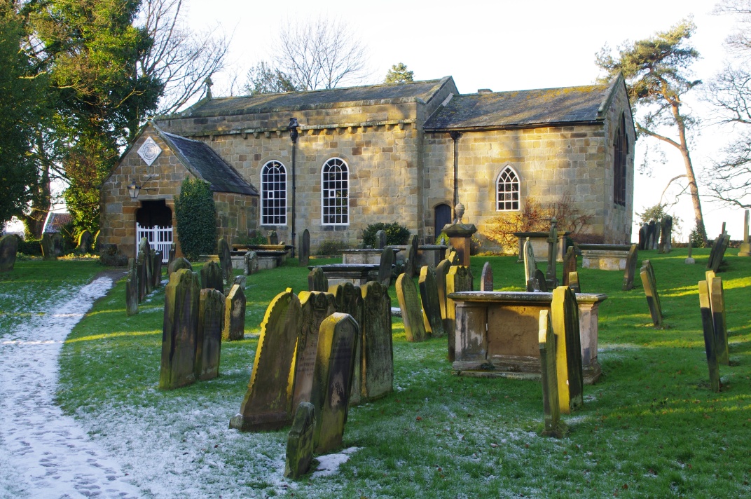
Church of All Saints, Great Ayton
The Church of All Saints is a grade I listed building and former parish church for Great Ayton, North Yorkshire, England. The churchyard is known to contain...

Little Ayton
Little Ayton is a village and civil parish in Hambleton District of North Yorkshire, England and lies immediately south of Great Ayton. The population...
Nearby Amenities
Located within 500m of 54.488543,-1.132221Have you been to Ayton, Great?
Leave your review of Ayton, Great below (or comments, questions and feedback).