Little Asby
Settlement in Westmorland Eden
England
Little Asby
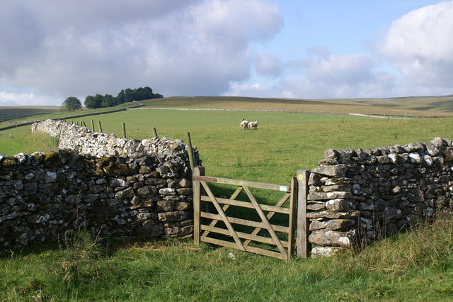
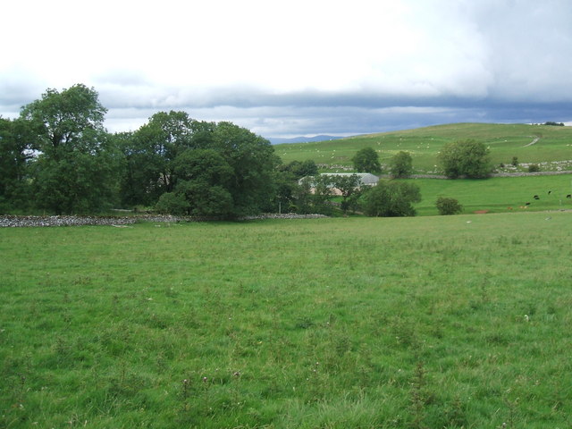
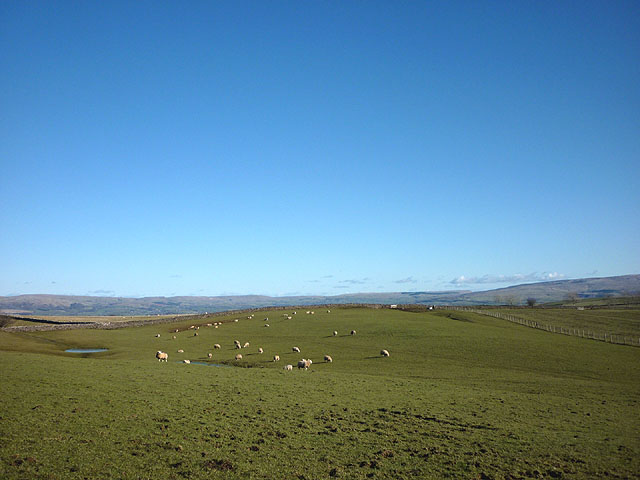
Little Asby is a small village located in the county of Westmorland, in the northwestern region of England. Situated within the Yorkshire Dales National Park, it is surrounded by picturesque landscapes and rolling hills. The village is nestled amidst the Pennines, offering stunning views and a tranquil atmosphere.
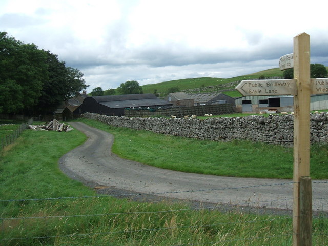
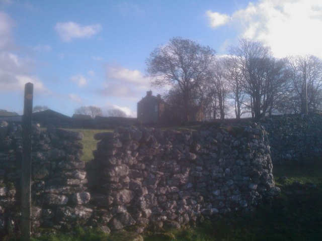
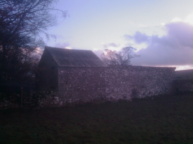
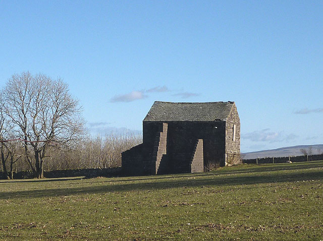
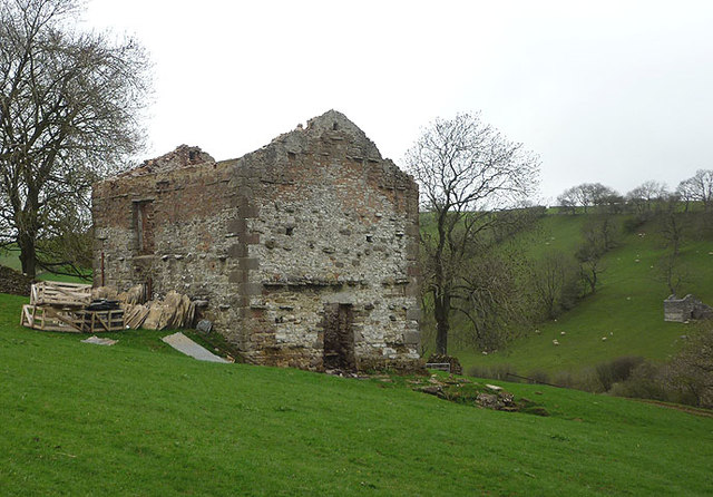
With a population of less than 100 residents, Little Asby is known for its close-knit community and charming rural character. The village is primarily residential, consisting of a scattering of traditional stone-built houses and cottages. The local architecture reflects the area's rich history and heritage, with some buildings dating back centuries.
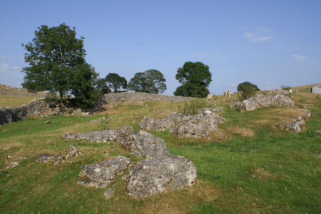
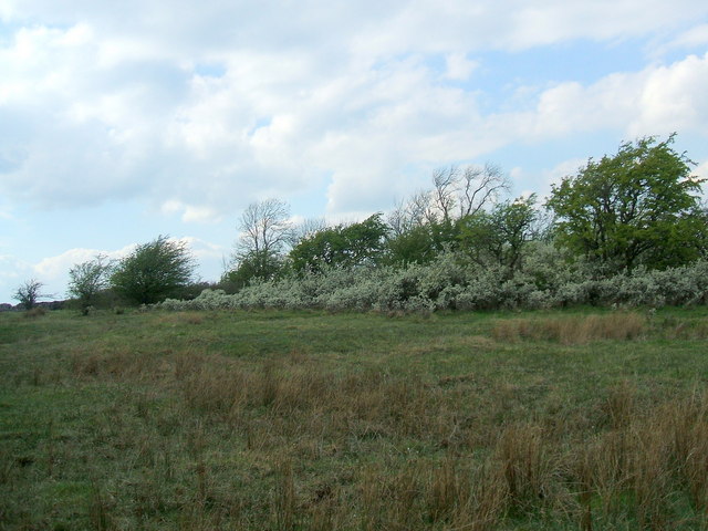
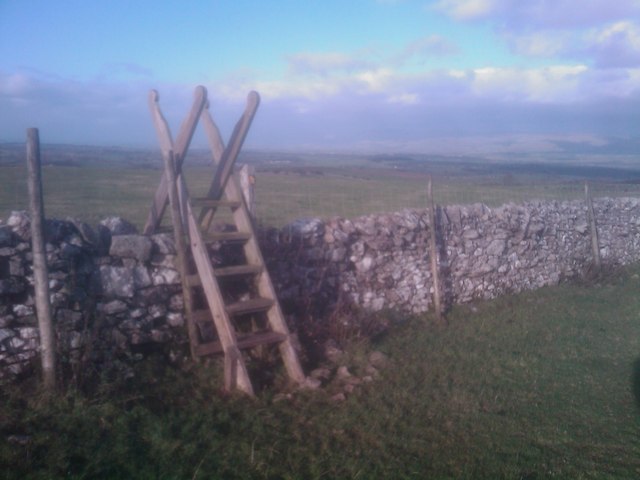
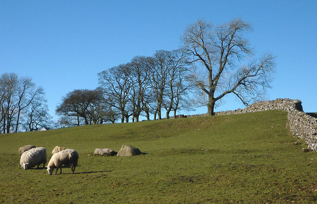
The surrounding area provides ample opportunities for outdoor activities, attracting nature enthusiasts and hikers. Little Asby is particularly renowned for its limestone pavement, a geological feature formed over thousands of years. This unique landscape is a haven for rare flora and fauna, making it a popular destination for nature lovers and wildlife enthusiasts.
Despite its small size, the village is well-served by nearby towns and amenities. The bustling market town of Appleby-in-Westmorland is just a short distance away, providing access to shops, schools, and healthcare facilities. Additionally, the village is within easy reach of major road networks, making it an ideal base for exploring the wider region.
Overall, Little Asby offers a peaceful and idyllic countryside setting, making it an attractive destination for those seeking a rural retreat or a gateway to the stunning natural beauty of the Yorkshire Dales.
If you have any feedback on the listing, please let us know in the comments section below.
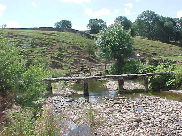
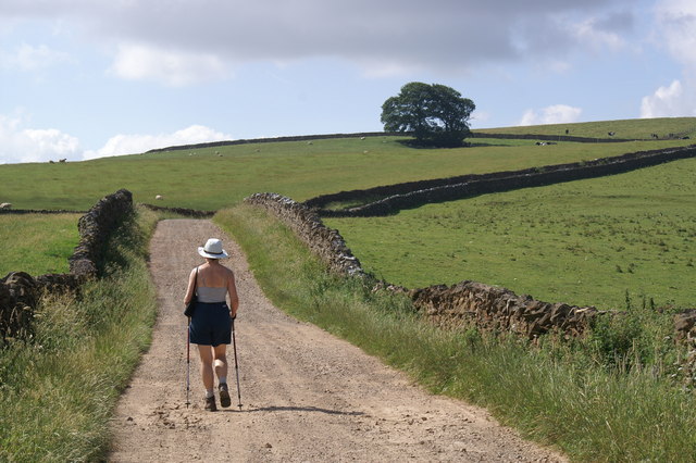
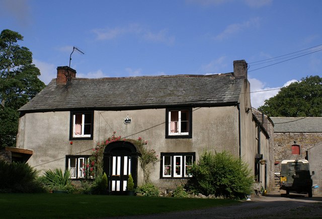
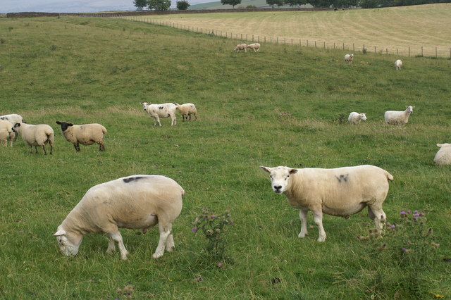
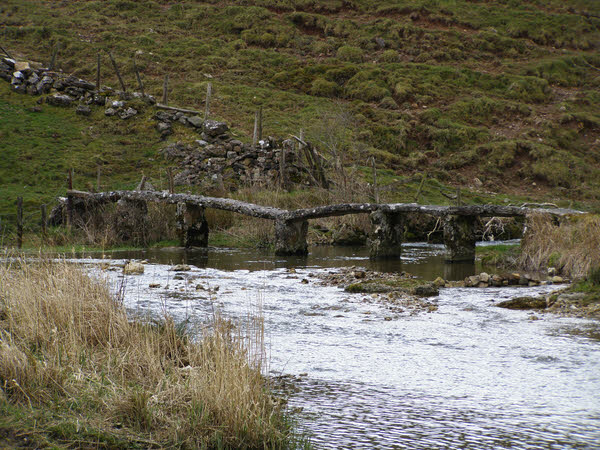
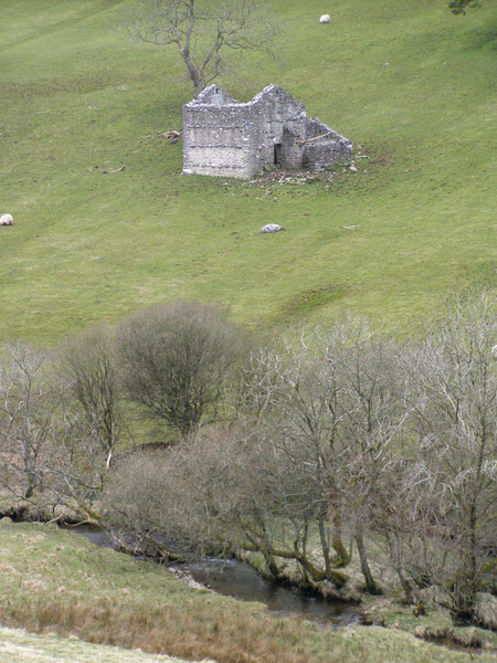
Little Asby Images
Images are sourced within 2km of 54.481301/-2.469164 or Grid Reference NY6909. Thanks to Geograph Open Source API. All images are credited.
Little Asby is located at Grid Ref: NY6909 (Lat: 54.481301, Lng: -2.469164)
Administrative County: Cumbria
District: Eden
Police Authority: Cumbria
What 3 Words
///hindered.bucket.outwards. Near Kirkby Stephen, Cumbria
Nearby Locations
Related Wikis

Little Asby
Little Asby is a small village in Cumbria, England. Historically part of Westmorland, its name is said to be derived from the Norse words askr, meaning...

Asby, Eden
Asby is a civil parish in the Eden district of Cumbria, England. Historically part of Westmorland, it includes the villages of Great Asby and Little Asby...
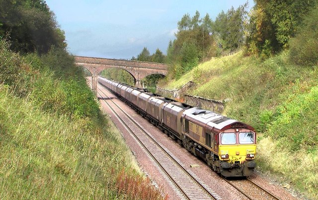
Crosby Garrett railway station
Crosby Garrett was a railway station which served the village of Crosby Garrett in Cumbria, England. It was situated on the Settle-Carlisle Line 38+1⁄4...

Sunbiggin Tarn
Sunbiggin Tarn is a tarn near Sunbiggin in Cumbria. It is in a Site of Special Scientific Interest (SSSI) which also includes the surrounding moorland...

Pate Hole
Pate Hole is a solutional cave located adjacent to Asby Gill 1 kilometre (0.62 mi) south of Great Asby in Cumbria, England. It is 970 metres (3,180 ft...

Crosby Garrett
Crosby Garrett is a hamlet and civil parish in the Eden District of Cumbria, England. It was formerly in the county of Westmorland. In the 2011 census...
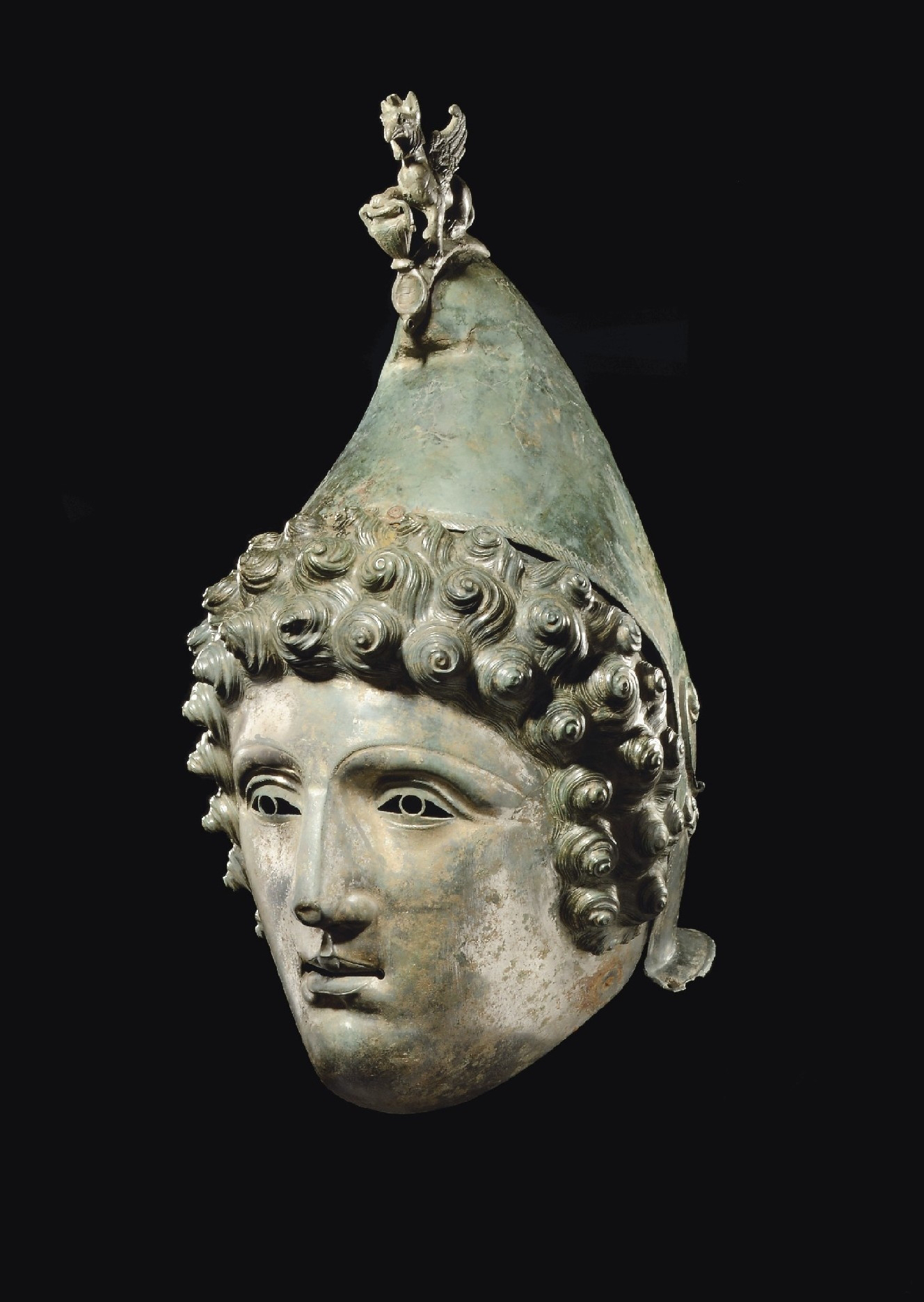
Crosby Garrett Helmet
The Crosby Garrett Helmet is a copper alloy Roman cavalry helmet dating from the late 2nd or early 3rd century AD. It was found by an unnamed metal detectorist...
St Andrew's Church, Crosby Garrett
St Andrew's Church is in the village of Crosby Garrett, Cumbria, England. It is an active Anglican parish church in the deanery of Appleby, the archdeaconry...
Nearby Amenities
Located within 500m of 54.481301,-2.469164Have you been to Little Asby?
Leave your review of Little Asby below (or comments, questions and feedback).