Asby, Little

Settlement in Westmorland Eden

England

Asby, Little

Farmland near Whygill Limestone walls, peaceful grazing fields, distant fell views and quiet footpaths are features of this lovely area.
Farmland near Whygill Credit: Peter Standing

Asby, Little is a small village located in the county of Westmorland, in the North West region of England. Situated in the Eden Valley, the village lies approximately 5 miles east of the town of Appleby-in-Westmorland.

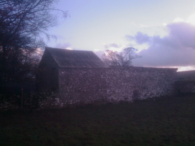
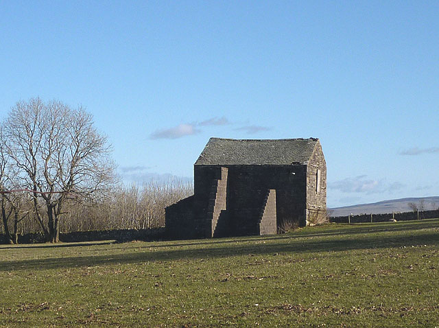
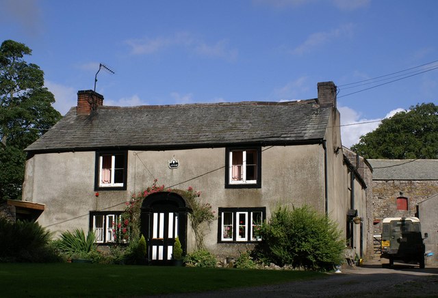
With a population of around 100 residents, Asby, Little is a quiet and picturesque rural village that offers a peaceful retreat from the hustle and bustle of city life. The village is known for its charming traditional stone-built houses, which add to its idyllic countryside charm.

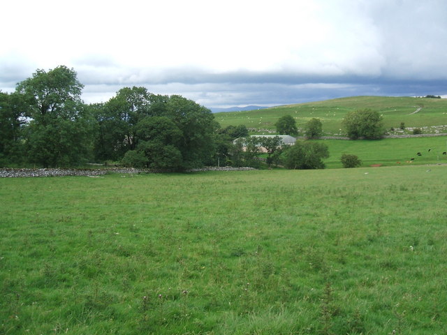
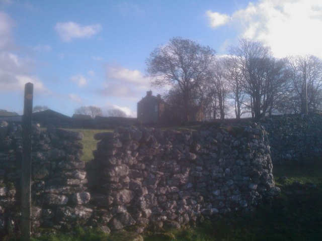
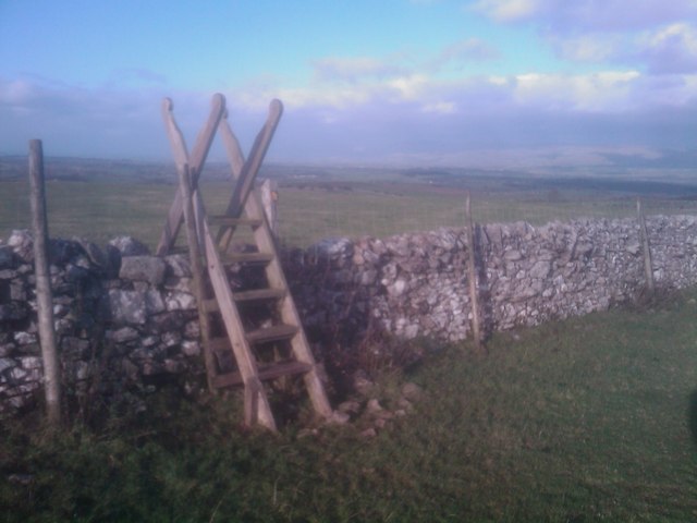
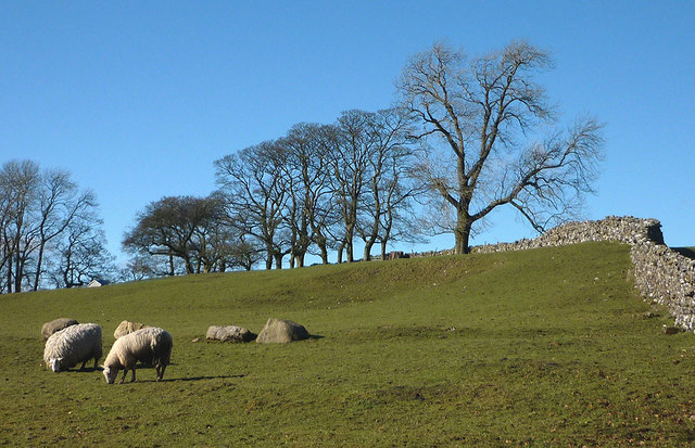
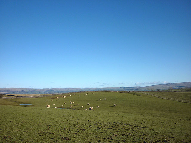
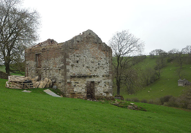
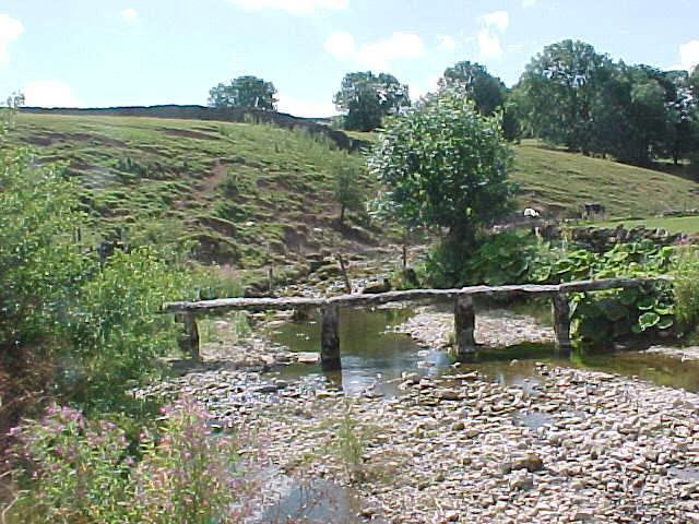
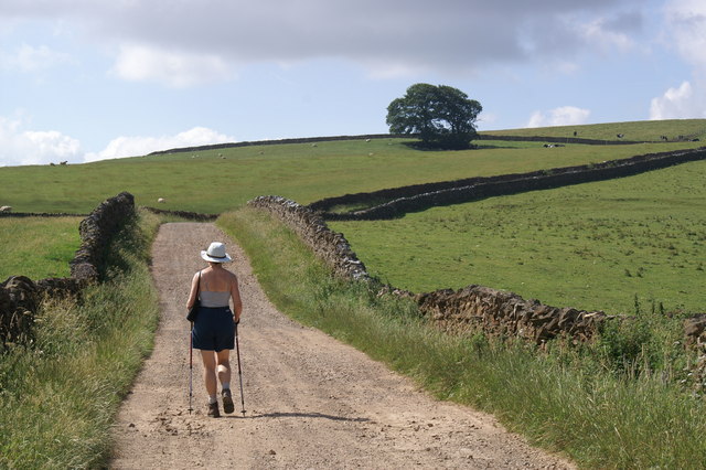
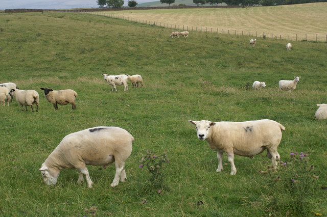
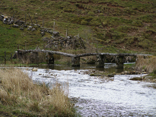
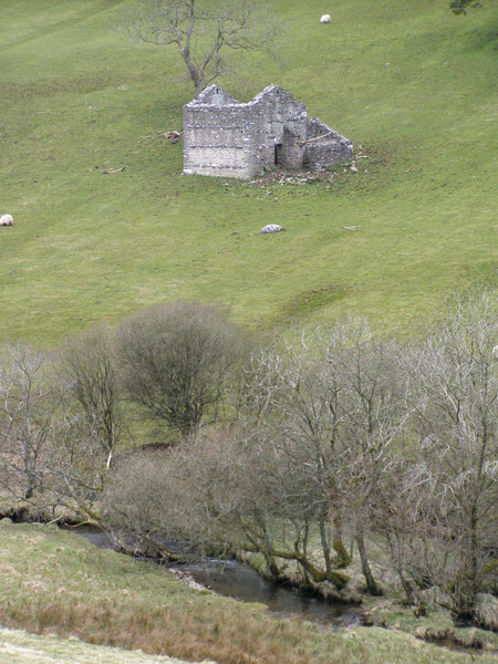
The surrounding landscape of Asby, Little is characterized by rolling hills, lush green fields, and meandering streams. The village is nestled amidst the stunning scenery of the North Pennines Area of Outstanding Natural Beauty, providing ample opportunities for outdoor activities such as hiking, cycling, and birdwatching.

The village is home to a small but close-knit community, with a local primary school, a village hall, and a charming parish church dating back to the 12th century. Residents and visitors can also enjoy the amenities and services available in the nearby town of Appleby-in-Westmorland, which includes shops, cafes, and a weekly market.

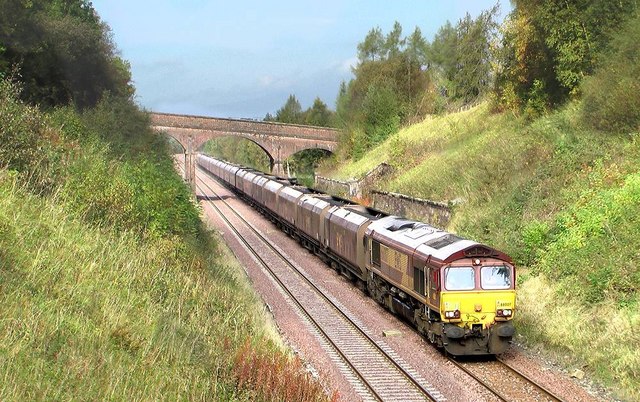
Asby, Little is well-connected to the wider region by road, with the A66 passing nearby, providing easy access to major cities such as Carlisle and Penrith. The village also benefits from its proximity to the scenic Settle-Carlisle Railway, which offers a picturesque train journey through the heart of the countryside.

Overall, Asby, Little is a hidden gem in the rural landscape of Westmorland, offering a tranquil and charming village experience for those seeking a peaceful retreat in the heart of nature.

If you have any feedback on the listing, please let us know in the comments section below.
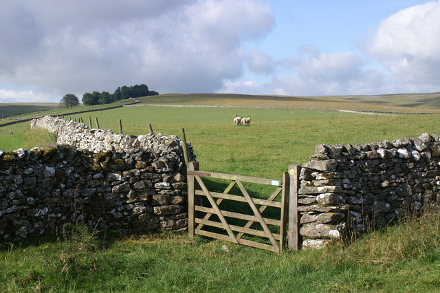
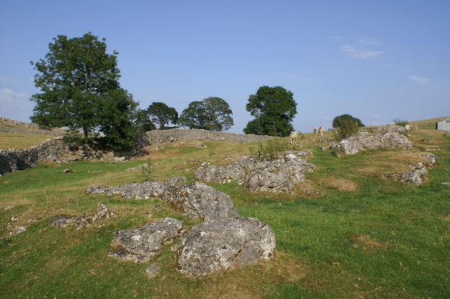
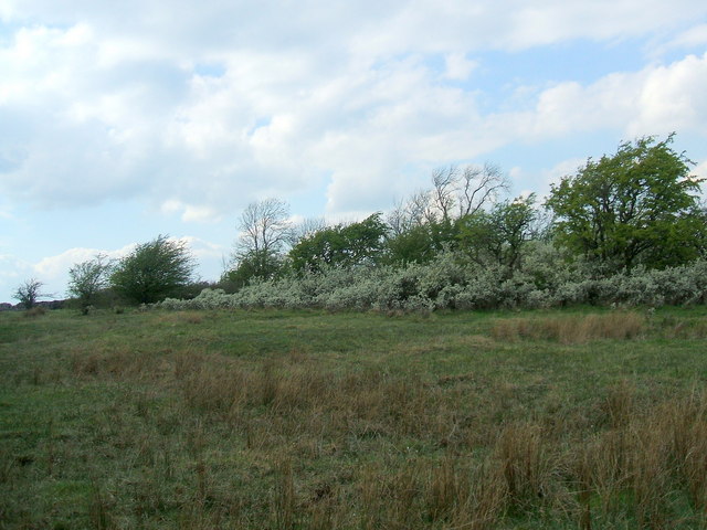
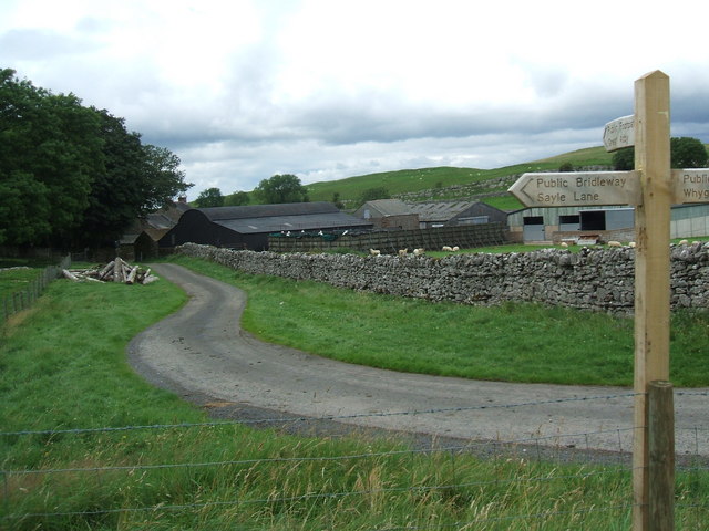
Asby, Little Images

Images are sourced within 2km of 54.481301/-2.469164 or Grid Reference NY6909. Thanks to Geograph Open Source API. All images are credited.

Farmland near Whygill Limestone walls, peaceful grazing fields, distant fell views and quiet footpaths are features of this lovely area.
Farmland near Whygill
Limestone walls, peaceful grazing fields, distant fell views and quiet footpaths are features of this lovely area.
Fields by Asby Grange From the footpath to Great Asby
Fields by Asby Grange
From the footpath to Great Asby
Blossom on Access Land, Little Asby
Asby Grange
Asby Grange
Grange Hall
Grange Hall
Approaching Asby Grange
Barn at Burtree
Barn at Burtree
Ladder stile near Fell Head
Sheep at Whygill Head Also, looking rather sheep-like, some erratic boulders of Shap granite which are often found scattered over these limestone uplands east of the Lake District.
Sheep at Whygill Head
Also, looking rather sheep-like, some erratic boulders of Shap granite which are often found scattered over these limestone uplands east of the Lake District.
Buttressed barn north of Little Asby This reminded me of these structures <a title="https://www.geograph.org.uk/photo/2035139" href="https://www.geograph.org.uk/photo/2035139">Link</a> just a few kilometres away. Perhaps a rogue barn builder operated in these parts?
Buttressed barn north of Little Asby
This reminded me of these structures Link just a few kilometres away. Perhaps a rogue barn builder operated in these parts?
Sheep grazing above Whygill Head Looking across high pastures towards the moors above Stainmore and the upper Eden Valley.
Sheep grazing above Whygill Head
Looking across high pastures towards the moors above Stainmore and the upper Eden Valley.
Destroyed barn, Potts Valley Three years ago this barn had a roof and looked to be in reasonable condition <a href="https://www.geograph.org.uk/photo/2035131">NY7110 : Track into Potts Valley</a> Now the roof is gone and the flags and slates are being crated up for disposal. One large roof beam was lying nearby but fire (recent judging by the smell and ashes) seems to have destroyed everything else inside. Note the similarly roofless barn on the opposite bank. Just up the track is <a href="https://www.geograph.org.uk/photo/1106163">NY7009 : Potts</a> farmstead, similarly abandoned and decaying.
Destroyed barn, Potts Valley
Three years ago this barn had a roof and looked to be in reasonable condition NY7110 : Track into Potts Valley Now the roof is gone and the flags and slates are being crated up for disposal. One large roof beam was lying nearby but fire (recent judging by the smell and ashes) seems to have destroyed everything else inside. Note the similarly roofless barn on the opposite bank. Just up the track is NY7009 : Potts farmstead, similarly abandoned and decaying.
Clapper bridge over Helm Beck
Newclose Lane This lane leads up to Wander Bank Reservoir and offers fine views.
Newclose Lane
This lane leads up to Wander Bank Reservoir and offers fine views.
Whygill Head Farm The first case of the 2001 Foot and Mouth epidemic was in Essex on Feb 19th. As the disease spread Cumbria became one of the worst affected areas.The final case in Britain was reported from this farm at Whygill on Sept 30th.
Whygill Head Farm
The first case of the 2001 Foot and Mouth epidemic was in Essex on Feb 19th. As the disease spread Cumbria became one of the worst affected areas.The final case in Britain was reported from this farm at Whygill on Sept 30th.
Beltex Sheep near Whygill This breed introduced from Belgium in 1989 is noted for its generous musculature particularly of the hindquarters. The wall behind the Beltex conceals the road from Whygill to Great Asby.
Beltex Sheep near Whygill
This breed introduced from Belgium in 1989 is noted for its generous musculature particularly of the hindquarters. The wall behind the Beltex conceals the road from Whygill to Great Asby.
Clapper Bridge
Clapper Bridge
Disused Barn
Disused Barn
Show me another place!

Asby, Little is located at Grid Ref: NY6909 (Lat: 54.481301, Lng: -2.469164)

Administrative County: Cumbria

District: Eden

Police Authority: Cumbria

What 3 Words

///hindered.bucket.outwards. Near Kirkby Stephen, Cumbria

Nearby Locations

Little Asby Asby, Little

Related Wikis

Nearby Amenities

Located within 500m of 54.481301,-2.469164
Little Asby
Place: hamlet
Source: NPE
Wikidata: Q3242445
Lat/Long: 54.4812633/-2.4665068
Access: yes
Barrier: cattle_grid
Lat/Long: 54.4812164/-2.4760127
St. Leonard's
Historic: archaeological_site
Is In Country Code: GB
Source: NPE
Lat/Long: 54.4806634/-2.466003
Grit Bin
Lat/Long: 54.4847079/-2.4671608
Barrier: stile
Material: stone
Source: survey;gps
Stile: stepover
Lat/Long: 54.4840089/-2.4741551
Barrier: stile
Material: stone
Source: survey;gps
Stile: stepover
Lat/Long: 54.4834847/-2.4735213
Barrier: stile
Material: stone
Source: survey;gps
Stile: stepover
Lat/Long: 54.4829364/-2.4726374
Defibrillator
Emergency: defibrillator
Lat/Long: 54.4818006/-2.4669719
Power: pole
Lat/Long: 54.4844949/-2.4731943
Power: pole
Lat/Long: 54.4839091/-2.4720494
Power: pole
Lat/Long: 54.4833991/-2.4710113
Power: pole
Lat/Long: 54.4828775/-2.4699693
Power: pole
Lat/Long: 54.4822997/-2.4688066
Power: pole
Lat/Long: 54.4816576/-2.4677072
The data included in this document is from www.openstreetmap.org. The data is made available under ODbL.

Have you been to Asby, Little?

Leave your review of Asby, Little below (or comments, questions and feedback).