Little Abington

Settlement in Cambridgeshire South Cambridgeshire

England

Little Abington

Great Abington, St Mary <span class="nowrap"><a title="http://www.druidic.org/camchurch/churches/gtabington.htm" rel="nofollow ugc noopener" href="http://www.druidic.org/camchurch/churches/gtabington.htm">Link</a><img style="margin-left:2px;" alt="External link" title="External link - shift click to open in new window" src="https://s1.geograph.org.uk/img/external.png" width="10" height="10"/></span>
Great Abington, St Mary Credit: mym

Little Abington is a small village located in the county of Cambridgeshire, England. Situated approximately 8 miles southeast of the city of Cambridge, it is part of the South Cambridgeshire district. The village is split into two parts: Great Abington and Little Abington, with the latter being the smaller of the two.

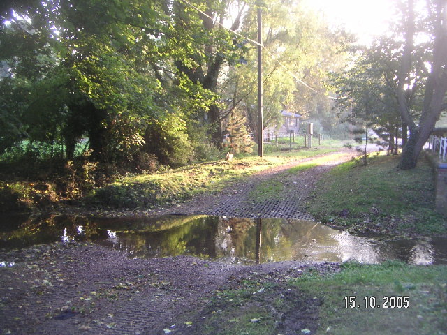
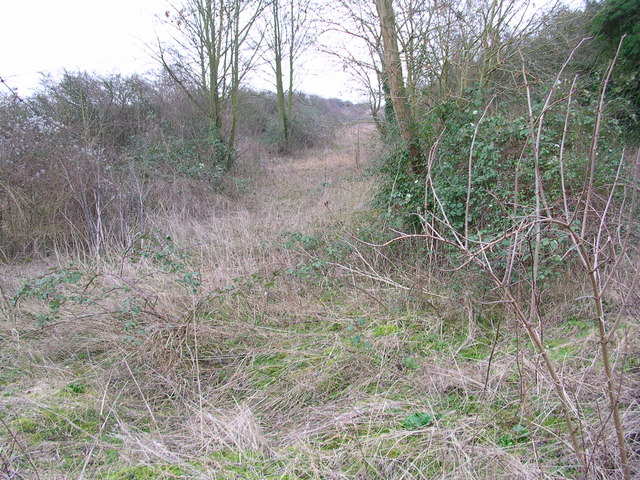
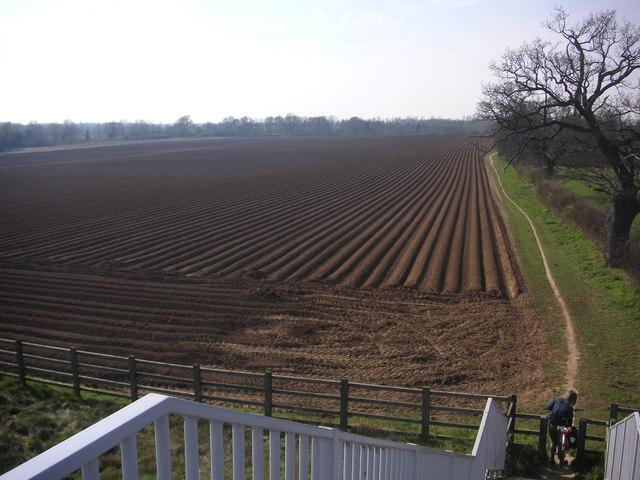
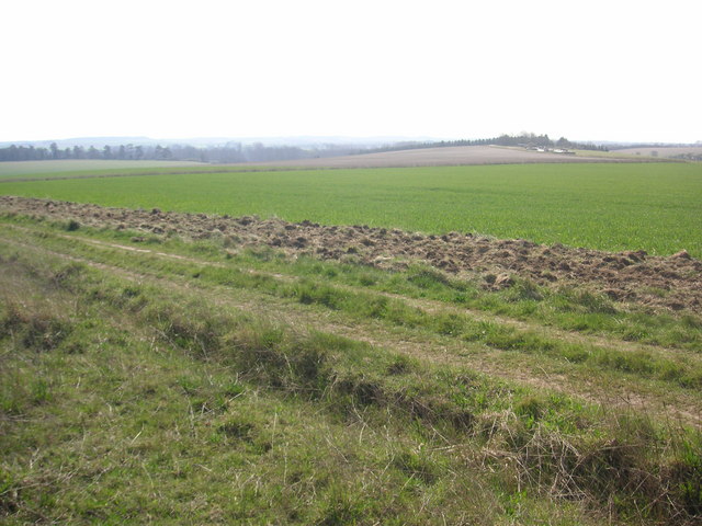
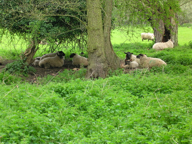
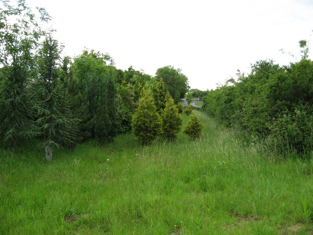
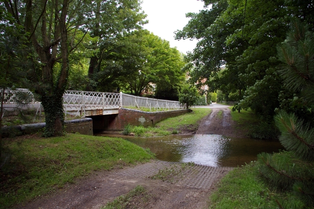
Little Abington is a quintessential English village, boasting picturesque landscapes and a close-knit community. The village is surrounded by lush countryside, characterized by rolling hills, meadows, and fields, offering residents and visitors the opportunity to enjoy scenic walks and outdoor activities.

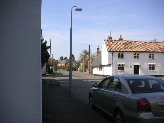
The village itself is home to a modest population, with a range of charming period cottages and houses. The local architecture features a mix of traditional and modern styles, blending the old-world charm with contemporary elements. As a residential area, Little Abington offers a peaceful and tranquil environment for its inhabitants.

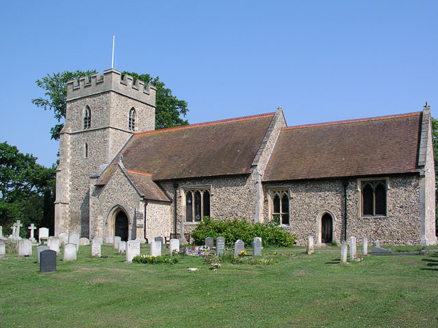
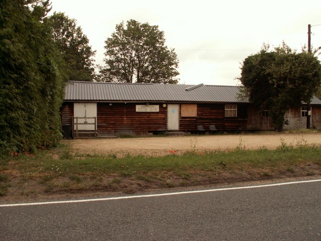
Community life thrives in Little Abington, with various local amenities catering to the needs of its residents. These include a village hall, a primary school, a church, and a pub, providing essential facilities and opportunities for social interaction.

For those seeking recreational activities outside the village, Little Abington benefits from its proximity to Cambridge. The city offers a wide range of cultural, educational, and leisure activities, including museums, galleries, theaters, and shopping centers, all within easy reach.

Overall, Little Abington is a delightful village that offers a tranquil lifestyle in the heart of the Cambridgeshire countryside, with the added convenience of nearby urban amenities.

If you have any feedback on the listing, please let us know in the comments section below.

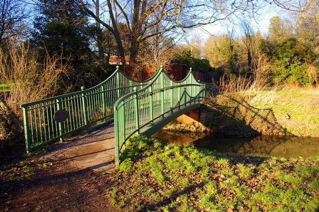
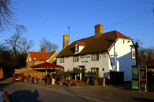
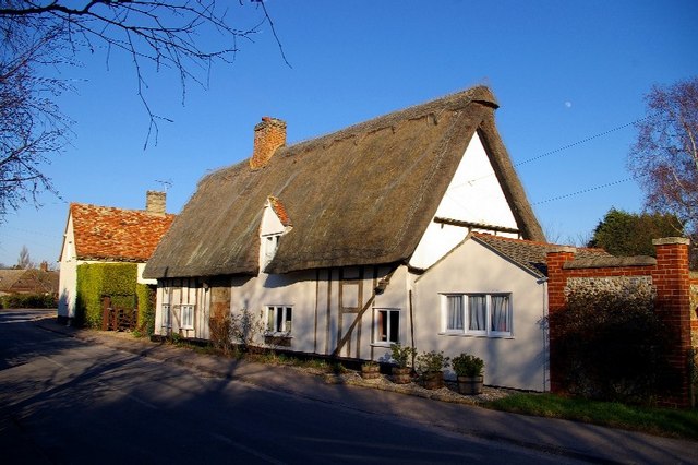
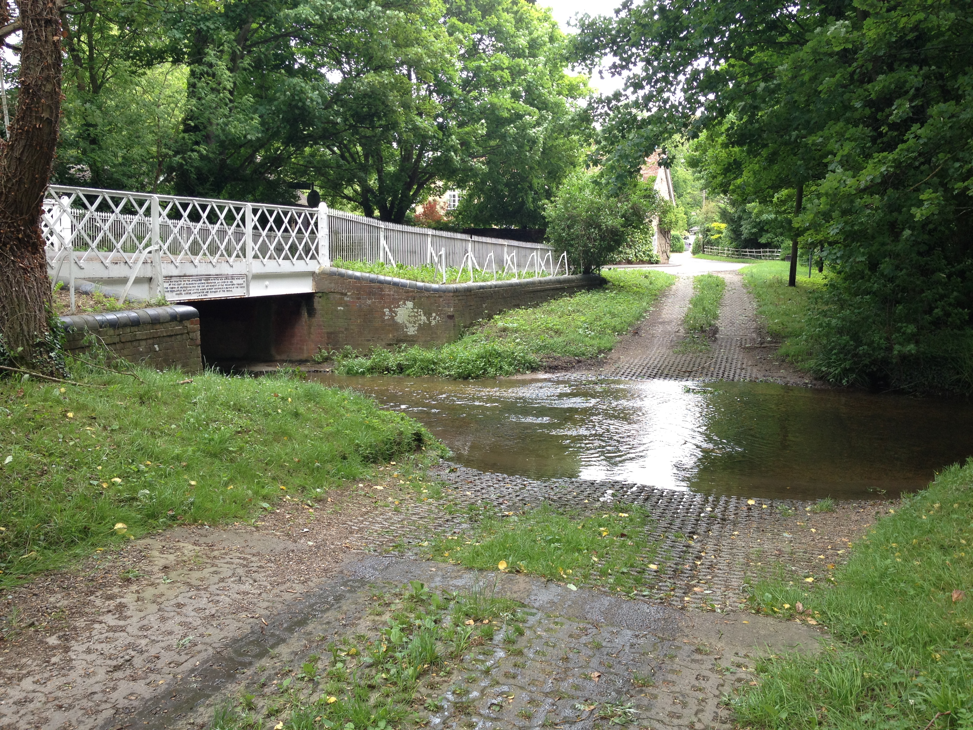
Little Abington Images

Images are sourced within 2km of 52.120456/0.236119 or Grid Reference TL5349. Thanks to Geograph Open Source API. All images are credited.

Great Abington, St Mary <span class="nowrap"><a title="http://www.druidic.org/camchurch/churches/gtabington.htm" rel="nofollow ugc noopener" href="http://www.druidic.org/camchurch/churches/gtabington.htm">Link</a><img style="margin-left:2px;" alt="External link" title="External link - shift click to open in new window" src="https://s1.geograph.org.uk/img/external.png" width="10" height="10"/></span>
Great Abington, St Mary
Little Abington, St Mary <span class="nowrap"><a title="http://www.druidic.org/camchurch/churches/ltabington.htm" rel="nofollow ugc noopener" href="http://www.druidic.org/camchurch/churches/ltabington.htm">Link</a><img style="margin-left:2px;" alt="External link" title="External link - shift click to open in new window" src="https://s1.geograph.org.uk/img/external.png" width="10" height="10"/></span>
Little Abington, St Mary
Great Abington High Street A view of the three tuns pub from outside Abington school.
Great Abington High Street
A view of the three tuns pub from outside Abington school.
Hildersham Ford
Hildersham Ford
Abington Social Club, Great Abington, Cambs.
Dismantled railway
Dismantled railway
Two Acre Plantation Two Acre Plantation viewed from footbridge over A11
Two Acre Plantation
Two Acre Plantation viewed from footbridge over A11
Little Abington The building bordering the image to the left is the Little Abington Pottery.
Little Abington
The building bordering the image to the left is the Little Abington Pottery.
Disused Mill Disused mill near Hildersham, viewed from A1307
Disused Mill
Disused mill near Hildersham, viewed from A1307
Bridleway between Roman Road and Hildersham Bridleway leading from Roman Road to Hildersham. On the small hill in the right half of the image you can see farm equipment supposedly belonging to the rectory farm.
Bridleway between Roman Road and Hildersham
Bridleway leading from Roman Road to Hildersham. On the small hill in the right half of the image you can see farm equipment supposedly belonging to the rectory farm.
Sheep dip path Go to ford and dip again
Sheep dip path
Go to ford and dip again
Course of old railway Course of the old Cambridge to Haverhill railway line (part of the 'Stour Valley Line') near Pampisford. The site of Pampisford station is now lost under the widened A11 trunk road.
Course of old railway
Course of the old Cambridge to Haverhill railway line (part of the 'Stour Valley Line') near Pampisford. The site of Pampisford station is now lost under the widened A11 trunk road.
Hildersham Ford and Bridge, River Granta The village ford is now by-passed by a road bridge.
Hildersham Ford and Bridge, River Granta
The village ford is now by-passed by a road bridge.
Village Sign
Village Sign
Millennium bridge over the Granta This footbridge linking the parishes of Great and Little Abington was constructed and presented in 2000 by Granta Park and TWI. <span class="nowrap"><a title="http://www.twi.co.uk" rel="nofollow ugc noopener" href="http://www.twi.co.uk">Link</a><img style="margin-left:2px;" alt="External link" title="External link - shift click to open in new window" src="https://s1.geograph.org.uk/img/external.png" width="10" height="10"/></span>
Millennium bridge over the Granta
This footbridge linking the parishes of Great and Little Abington was constructed and presented in 2000 by Granta Park and TWI. LinkExternal link
Three Tuns The free house in Abington.
Three Tuns
The free house in Abington.
Thatched cottage A traditional building in the High Street.
Thatched cottage
A traditional building in the High Street.
Show me another place!

Little Abington is located at Grid Ref: TL5349 (Lat: 52.120456, Lng: 0.236119)

Administrative County: Cambridgeshire

District: South Cambridgeshire

Police Authority: Cambridgeshire

What 3 Words

///cliff.captive.heaven. Near Linton, Cambridgeshire

Related Wikis

The Abingtons, Cambridgeshire

The Abingtons are a community in South Cambridgeshire consisting of two small villages: Little Abington and Great Abington, about 7 miles (11 km) south...

Granta Park

Granta Park is a science, technology and biopharmaceutical park based on the bank of the River Granta in Great Abington near Cambridge, England. The idea...

Alder Carr, Hildersham

Alder Carr is a 6.7-hectare biological Site of Special Scientific Interest in Hildersham in Cambridgeshire.The site is a wet valley which has alder on...

Bourne Bridge railway station

Bourne Bridge railway station served Little Abington, Great Abington, Pampisford and Babraham in Cambridgeshire. It was closed in 1851, along with its...

Abington railway station (England)

Abington railway station served Little Abington, Great Abington and Babraham in Cambridgeshire. It closed in 1851, along with its line which was one of...

Hildersham

Hildersham is a small village 8 miles to the south-east of Cambridge, England. It is situated just off the A1307 between Linton and Great Abington on a...

Pampisford railway station

Pampisford railway station is a former British railway station in Pampisford, Cambridgeshire. It was on the Stour Valley Railway from 1865 to its closure...

Furze Hill SSSI

Furze Hill is a 5.8-hectare (14-acre) biological Site of Special Scientific Interest in three nearby areas east of Hildersham in Cambridgeshire.The site...

Nearby Amenities

Located within 500m of 52.120456,0.236119
Abington Pottery
Cuisine: tea;coffee;cake
Tourism: attraction
Lat/Long: 52.1195048/0.2375761
Pub
Three Tuns
Cuisine: thai
Food: yes
Wikidata: Q26420600
Lat/Long: 52.1167337/0.2388543
Post Office
Abington Post Office
Addr Postcode: CB21 6AB
Branch: Abington
Brand: Post Office
Brand Wikidata: Q1783168
Check Date: 2020-02-20
Contact Website: https://www.postoffice.co.uk/branch-finder/0511137/abington
Ref Pol Id: 68
Lat/Long: 52.1163242/0.238054
Little Abington
Is In: Cambridgeshire, England, UK
Place: village
Population: 500
Source Name: local knowledge
Source Population: http://www.scambs.gov.uk/CommunityandLiving/VillageServicesAndAmenities/
Wikidata: Q2694249
Lat/Long: 52.121755/0.2351753
Post Box
Collection Times: Mo-Fr 09:00; Sa 07:00
Operator: Royal Mail
Post Box Type: lamp
Ref: CB21 200
Royal Cypher: EIIR
Royal Cypher Wikidata: Q33102113
Source: survey
Lat/Long: 52.1204681/0.2333775
Bus Stop
Linton Road
Alt Name: Great Abington Primary School
Naptan AltCommonName: Great Abington Primary School
Naptan AtcoCode: 0500SGREA001
Naptan Bearing: NE
Naptan CommonName: Linton Road
Naptan Indicator: opp
Naptan Landmark: Linton Road
Naptan NaptanCode: cmbdwmad
Naptan Street: High Street
Naptan Verified: no
Source: naptan_import
Lat/Long: 52.1160215/0.2371959
Bus Stop
Cambridge Road
Bench: yes
Naptan AtcoCode: 0500SLITA001
Naptan Bearing: SE
Naptan CommonName: Cambridge Road
Naptan Indicator: opp No 31
Naptan Landmark: Cambridge Road
Naptan NaptanCode: cmbgagpj
Naptan Street: Cambridge Road
Naptan Verified: no
Public Transport: platform
Shelter: yes
Source: naptan_import
Lat/Long: 52.1235311/0.2334098
Bus Stop
Cambridge Road
Naptan AtcoCode: 0500SLITA002
Naptan Bearing: NW
Naptan CommonName: Cambridge Road
Naptan Indicator: o/s No 37
Naptan Landmark: Cambridge Road
Naptan NaptanCode: cmbgagpm
Naptan Street: Cambridge Road
Naptan Verified: no
Public Transport: platform
Shelter: yes
Source: naptan_import
Lat/Long: 52.1237478/0.2318852
Bus Stop
Church Lane
Naptan AtcoCode: 0500SLITA003
Naptan Bearing: NW
Naptan CommonName: Church Lane
Naptan Indicator: near
Naptan Landmark: Bowling Green
Naptan NaptanCode: cmbgagpt
Naptan ShortCommonName: Church Lane
Naptan Street: High Street
Naptan Verified: no
Source: naptan_import
Lat/Long: 52.119507/0.2382275
Bus Stop
Church Lane
Naptan AtcoCode: 0500SLITA004
Naptan Bearing: NE
Naptan CommonName: Church Lane
Naptan Indicator: opp
Naptan Landmark: Ivan Clarks Corner
Naptan NaptanCode: cmbgagpw
Naptan ShortCommonName: Church Lane
Naptan Street: High Street
Naptan Verified: no
Source: naptan_import
Lat/Long: 52.1195173/0.2383892
Post Box
Collection Times: Mo-Fr 09:00; Sa 07:00
Operator: Royal Mail
Post Box Design: type_c
Post Box Type: pillar
Ref: CB21 201
Royal Cypher: EIIR
Royal Cypher Wikidata: Q33102113
Source: survey
Lat/Long: 52.1164207/0.2381683
Barrier: stile
Lat/Long: 52.1210031/0.2338236
Barrier: stile
Lat/Long: 52.1227747/0.2331635
Internet Access: yes
Internet Access Fee: no
Operator: The Three Tuns
Tourism: guest_house
Lat/Long: 52.116475/0.2389052
Post Box
Collection Times: Mo-Fr 09:00; Sa 07:00
Operator: Royal Mail
Post Box Type: lamp
Ref: CB21 407
Royal Cypher: EIIR
Royal Cypher Wikidata: Q33102113
Source: survey
Lat/Long: 52.1212327/0.2388642
Defibrillator
Emergency: defibrillator
Lat/Long: 52.1166865/0.2383967
Bench
Backrest: yes
Material: wood
Lat/Long: 52.1185116/0.2388522
Generator Method: photovoltaic
Generator Output Electricity: yes
Generator Source: solar
Generator Type: solar_photovoltaic_panel
Location: roof
Power: generator
Lat/Long: 52.1227785/0.2348113
Generator Method: photovoltaic
Generator Output Electricity: yes
Generator Source: solar
Generator Type: solar_photovoltaic_panel
Location: roof
Power: generator
Lat/Long: 52.1226748/0.2350393
Generator Method: photovoltaic
Generator Output Electricity: yes
Generator Source: solar
Generator Type: solar_photovoltaic_panel
Location: roof
Power: generator
Lat/Long: 52.1215508/0.2405821
Generator Method: photovoltaic
Generator Output Electricity: yes
Generator Source: solar
Generator Type: solar_photovoltaic_panel
Location: roof
Power: generator
Lat/Long: 52.1196857/0.2372468
Generator Method: photovoltaic
Generator Output Electricity: yes
Generator Source: solar
Generator Type: solar_photovoltaic_panel
Location: roof
Power: generator
Lat/Long: 52.119661/0.2365682
Generator Method: photovoltaic
Generator Output Electricity: yes
Generator Source: solar
Generator Type: solar_photovoltaic_panel
Location: roof
Power: generator
Lat/Long: 52.1198636/0.2360035
Generator Method: photovoltaic
Generator Output Electricity: yes
Generator Source: solar
Generator Type: solar_photovoltaic_panel
Location: roof
Power: generator
Lat/Long: 52.1198595/0.2361001
Generator Method: photovoltaic
Generator Output Electricity: yes
Generator Source: solar
Generator Type: solar_photovoltaic_panel
Location: roof
Power: generator
Lat/Long: 52.1198529/0.2362302
Generator Method: photovoltaic
Generator Output Electricity: yes
Generator Source: solar
Generator Type: solar_photovoltaic_panel
Location: roof
Power: generator
Lat/Long: 52.1200225/0.2372132
Generator Method: photovoltaic
Generator Output Electricity: yes
Generator Source: solar
Generator Type: solar_photovoltaic_panel
Location: roof
Power: generator
Lat/Long: 52.1200752/0.2370322
Generator Method: photovoltaic
Generator Output Electricity: yes
Generator Source: solar
Generator Type: solar_photovoltaic_panel
Location: roof
Power: generator
Lat/Long: 52.1201115/0.2369383
Generator Method: photovoltaic
Generator Output Electricity: yes
Generator Source: solar
Generator Type: solar_photovoltaic_panel
Location: roof
Power: generator
Lat/Long: 52.1201938/0.2368055
Generator Method: photovoltaic
Generator Output Electricity: yes
Generator Source: solar
Generator Type: solar_photovoltaic_panel
Location: roof
Power: generator
Lat/Long: 52.1202136/0.2367264
Generator Method: photovoltaic
Generator Output Electricity: yes
Generator Source: solar
Generator Type: solar_photovoltaic_panel
Location: roof
Power: generator
Lat/Long: 52.1207011/0.2356146
Generator Method: photovoltaic
Generator Output Electricity: yes
Generator Source: solar
Generator Type: solar_photovoltaic_panel
Location: roof
Power: generator
Lat/Long: 52.120025/0.236434
Generator Method: photovoltaic
Generator Output Electricity: yes
Generator Source: solar
Generator Type: solar_photovoltaic_panel
Location: roof
Power: generator
Lat/Long: 52.1201798/0.2343634
Generator Method: photovoltaic
Generator Output Electricity: yes
Generator Source: solar
Generator Type: solar_photovoltaic_panel
Location: roof
Power: generator
Lat/Long: 52.1203198/0.2365226
Generator Method: photovoltaic
Generator Output Electricity: yes
Generator Source: solar
Generator Type: solar_photovoltaic_panel
Location: roof
Power: generator
Lat/Long: 52.1203462/0.2359271
Generator Method: photovoltaic
Generator Output Electricity: yes
Generator Source: solar
Generator Type: solar_photovoltaic_panel
Location: roof
Power: generator
Lat/Long: 52.1203494/0.2358091
Generator Method: photovoltaic
Generator Output Electricity: yes
Generator Source: solar
Generator Type: solar_photovoltaic_panel
Location: roof
Power: generator
Lat/Long: 52.1203544/0.2356777
Generator Method: photovoltaic
Generator Output Electricity: yes
Generator Source: solar
Generator Type: solar_photovoltaic_panel
Location: roof
Power: generator
Lat/Long: 52.1203478/0.2355435
Generator Method: photovoltaic
Generator Output Electricity: yes
Generator Source: solar
Generator Type: solar_photovoltaic_panel
Location: roof
Power: generator
Lat/Long: 52.1206978/0.2355355
Generator Method: photovoltaic
Generator Output Electricity: yes
Generator Source: solar
Generator Type: solar_photovoltaic_panel
Location: roof
Power: generator
Lat/Long: 52.1207233/0.2349079
Generator Method: photovoltaic
Generator Output Electricity: yes
Generator Source: solar
Generator Type: solar_photovoltaic_panel
Location: roof
Power: generator
Lat/Long: 52.1207266/0.2338001
Generator Method: photovoltaic
Generator Output Electricity: yes
Generator Source: solar
Generator Type: solar_photovoltaic_panel
Location: roof
Power: generator
Lat/Long: 52.1210469/0.2320869
Generator Method: photovoltaic
Generator Output Electricity: yes
Generator Source: solar
Generator Type: solar_photovoltaic_panel
Location: roof
Power: generator
Lat/Long: 52.1207958/0.2322605
Generator Method: photovoltaic
Generator Output Electricity: yes
Generator Source: solar
Generator Type: solar_photovoltaic_panel
Location: roof
Power: generator
Lat/Long: 52.1212857/0.229459
Generator Method: photovoltaic
Generator Output Electricity: yes
Generator Source: solar
Generator Type: solar_photovoltaic_panel
Location: roof
Power: generator
Lat/Long: 52.1212849/0.2296843
Bench
Backrest: yes
Material: wood
Lat/Long: 52.1168461/0.2342531
Bench
Backrest: yes
Material: wood
Lat/Long: 52.1168791/0.2340661
Bench
Backrest: yes
Material: wood
Lat/Long: 52.1177557/0.2348242
Bench
Backrest: yes
Material: plastic
Lat/Long: 52.1182009/0.2349805
Leisure: picnic_table
Material: plastic
Lat/Long: 52.1182689/0.2356218
Bench
Material: wood
Lat/Long: 52.1180606/0.2361037
Leisure: picnic_table
Material: plastic
Lat/Long: 52.1179037/0.2363896
Bench
Backrest: yes
Material: wood
Lat/Long: 52.1174853/0.2366651
Bench
Backrest: yes
Material: wood
Lat/Long: 52.1174257/0.2368656
Leisure: picnic_table
Material: plastic
Lat/Long: 52.1174183/0.2367625
Bench
Backrest: yes
Material: wood
Lat/Long: 52.1201941/0.2325298
Bench
Backrest: yes
Material: wood
Lat/Long: 52.1199171/0.2327496
Bench
Backrest: yes
Material: wood
Lat/Long: 52.1196847/0.232907
Bench
Backrest: yes
Material: wood
Lat/Long: 52.1199265/0.2328996
Waste Basket
Waste: dog_excrement
Lat/Long: 52.1185249/0.2348677
Waste Basket
Waste: dog_excrement
Lat/Long: 52.1168019/0.2347086
The data included in this document is from www.openstreetmap.org. The data is made available under ODbL.

Have you been to Little Abington?

Leave your review of Little Abington below (or comments, questions and feedback).