Claypit Plantation

Wood, Forest in Cambridgeshire South Cambridgeshire

England

Claypit Plantation

Great Abington, St Mary <span class="nowrap"><a title="http://www.druidic.org/camchurch/churches/gtabington.htm" rel="nofollow ugc noopener" href="http://www.druidic.org/camchurch/churches/gtabington.htm">Link</a><img style="margin-left:2px;" alt="External link" title="External link - shift click to open in new window" src="https://s1.geograph.org.uk/img/external.png" width="10" height="10"/></span>
Great Abington, St Mary Credit: mym

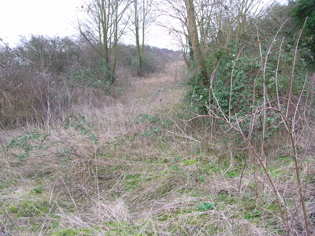
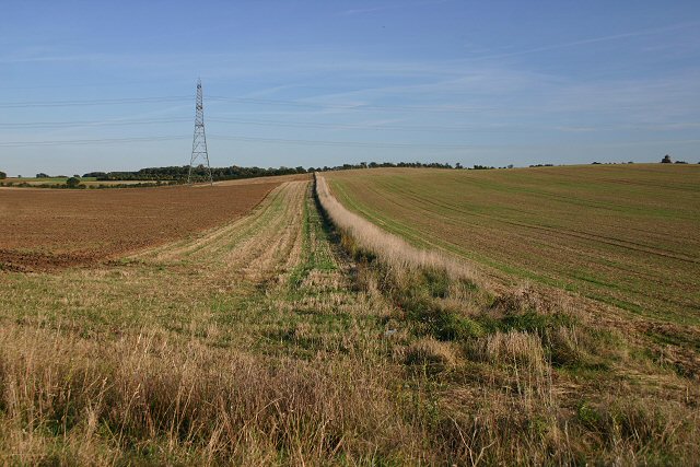
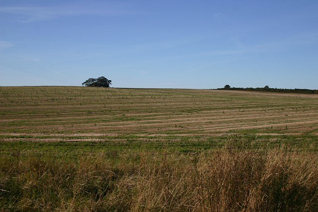
Claypit Plantation is a picturesque woodland located in the county of Cambridgeshire, England. Covering an area of approximately 200 acres, it is a popular destination for nature enthusiasts and outdoor enthusiasts alike.

The woodland is primarily composed of oak and beech trees, creating a diverse and vibrant ecosystem. These trees provide a habitat for various wildlife species, including birds, small mammals, and insects. The understory is adorned with an array of wildflowers, adding to the beauty of the woodland.

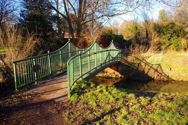
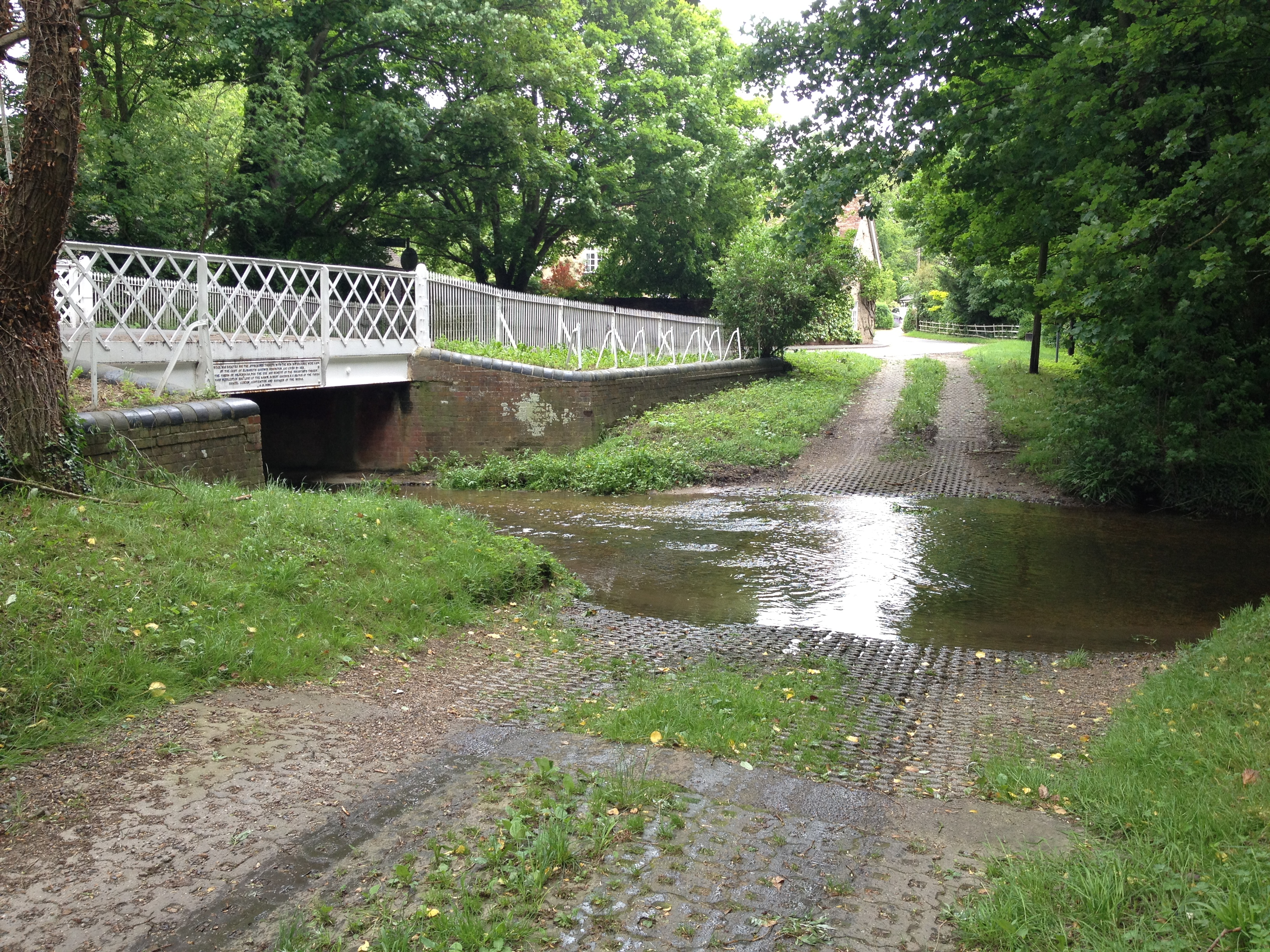
A network of well-maintained footpaths and trails traverse Claypit Plantation, allowing visitors to explore the area at their leisure. These paths wind through the woodland, providing opportunities for peaceful walks and quiet contemplation. The terrain is generally flat, making it accessible for people of all ages and abilities.

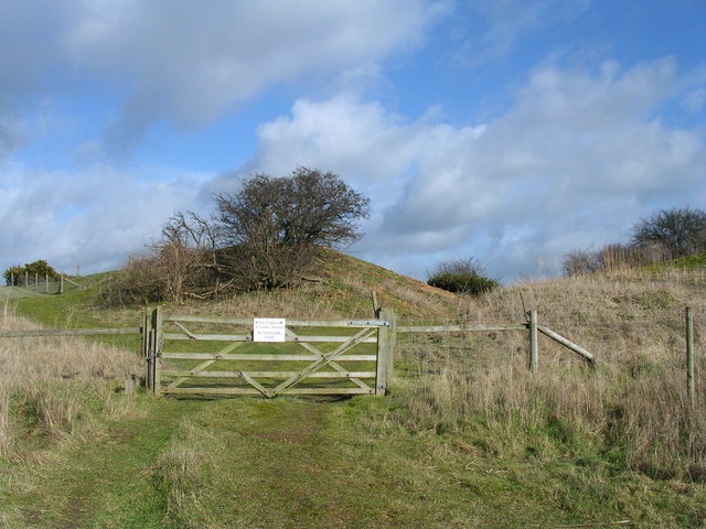
One of the notable features of Claypit Plantation is the presence of several small clay pits, from which the woodland derives its name. These pits were historically used for local brickmaking, adding a hint of industrial heritage to the natural surroundings.

In addition to its natural beauty, Claypit Plantation offers recreational facilities for visitors to enjoy. There are picnic areas dotted throughout the woodland, providing a perfect spot for a leisurely lunch or a family gathering. The plantation also hosts educational events and guided walks, allowing visitors to learn more about the flora and fauna that call this woodland home.

Overall, Claypit Plantation is a serene and picturesque woodland, offering a haven of tranquility amidst the bustling county of Cambridgeshire.

If you have any feedback on the listing, please let us know in the comments section below.

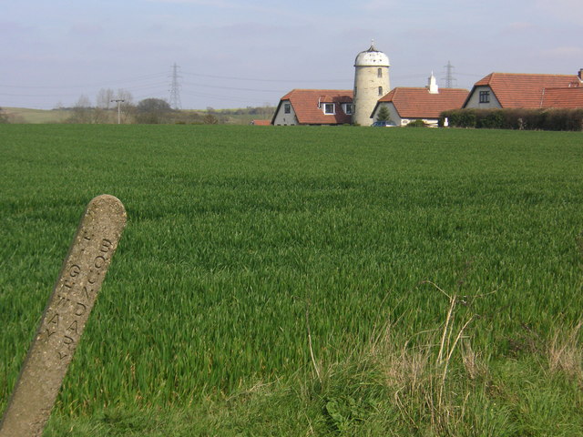
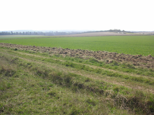
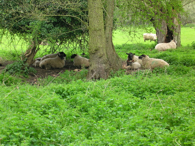
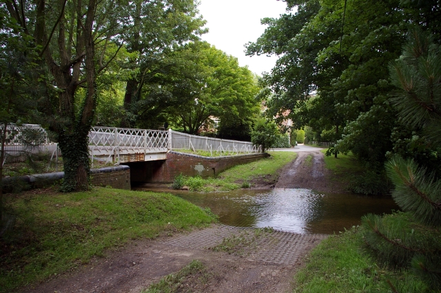
Claypit Plantation Images

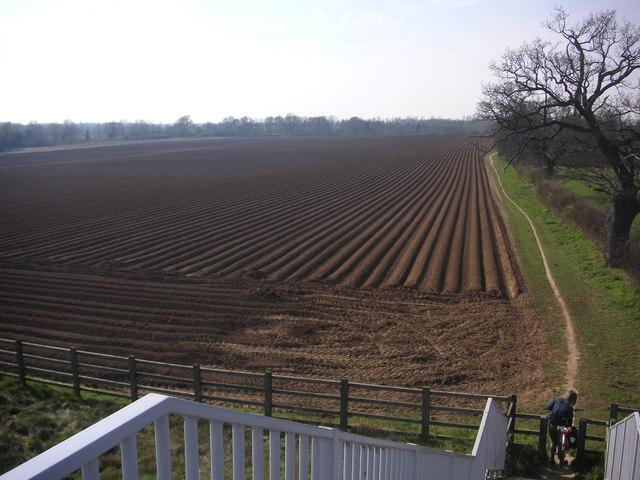
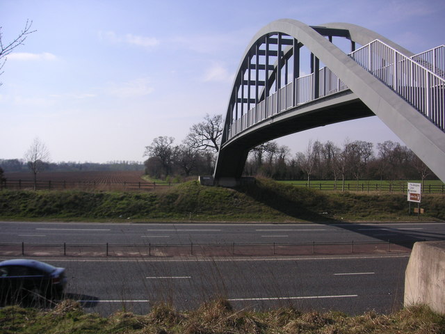
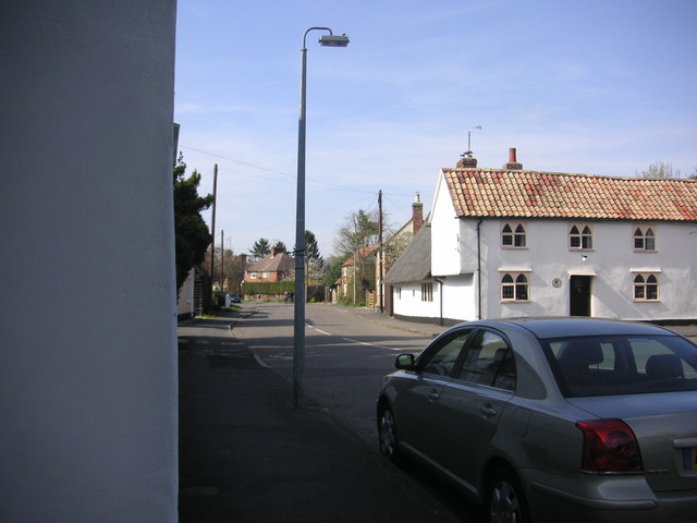
Images are sourced within 2km of 52.123244/0.24301844 or Grid Reference TL5349. Thanks to Geograph Open Source API. All images are credited.

Great Abington, St Mary <span class="nowrap"><a title="http://www.druidic.org/camchurch/churches/gtabington.htm" rel="nofollow ugc noopener" href="http://www.druidic.org/camchurch/churches/gtabington.htm">Link</a><img style="margin-left:2px;" alt="External link" title="External link - shift click to open in new window" src="https://s1.geograph.org.uk/img/external.png" width="10" height="10"/></span>
Great Abington, St Mary
Little Abington, St Mary <span class="nowrap"><a title="http://www.druidic.org/camchurch/churches/ltabington.htm" rel="nofollow ugc noopener" href="http://www.druidic.org/camchurch/churches/ltabington.htm">Link</a><img style="margin-left:2px;" alt="External link" title="External link - shift click to open in new window" src="https://s1.geograph.org.uk/img/external.png" width="10" height="10"/></span>
Little Abington, St Mary
Great Abington High Street A view of the three tuns pub from outside Abington school.
Great Abington High Street
A view of the three tuns pub from outside Abington school.
Hildersham Ford
Hildersham Ford
Abington Social Club, Great Abington, Cambs.
Furze Hill Look but no touch!
The site holds fragments of grassland characteristic of the Breckland of East Anglia holding both acidic
and calcareous components. This is a rare example of sandy habitat in the county and represents a south-
western outlier of the Suffolk Breckland.
<span class="nowrap"><a title="http://www.english-nature.org.uk/citation/citation_photo/1001115.pdf" rel="nofollow ugc noopener" href="http://www.english-nature.org.uk/citation/citation_photo/1001115.pdf">Link</a><img style="margin-left:2px;" alt="External link" title="External link - shift click to open in new window" src="https://s1.geograph.org.uk/img/external.png" width="10" height="10"/></span>
Furze Hill
Look but no touch! The site holds fragments of grassland characteristic of the Breckland of East Anglia holding both acidic and calcareous components. This is a rare example of sandy habitat in the county and represents a south- western outlier of the Suffolk Breckland. LinkExternal link
Dismantled railway
Dismantled railway
Two Acre Plantation Two Acre Plantation viewed from footbridge over A11
Two Acre Plantation
Two Acre Plantation viewed from footbridge over A11
Little Abington The building bordering the image to the left is the Little Abington Pottery.
Little Abington
The building bordering the image to the left is the Little Abington Pottery.
Disused Mill Disused mill near Hildersham, viewed from A1307
Disused Mill
Disused mill near Hildersham, viewed from A1307
Bridleway between Roman Road and Hildersham Bridleway leading from Roman Road to Hildersham. On the small hill in the right half of the image you can see farm equipment supposedly belonging to the rectory farm.
Bridleway between Roman Road and Hildersham
Bridleway leading from Roman Road to Hildersham. On the small hill in the right half of the image you can see farm equipment supposedly belonging to the rectory farm.
Sheep dip path Go to ford and dip again
Sheep dip path
Go to ford and dip again
Hildersham Ford and Bridge, River Granta The village ford is now by-passed by a road bridge.
Hildersham Ford and Bridge, River Granta
The village ford is now by-passed by a road bridge.
Village Sign
Village Sign
Farmland near Hildersham Looking south-eastwards from the minor road between Hildersham and Balsham.
Farmland near Hildersham
Looking south-eastwards from the minor road between Hildersham and Balsham.
Farmland near Hildersham Looking north west from the minor road between Hildersham and Balsham.
Farmland near Hildersham
Looking north west from the minor road between Hildersham and Balsham.
Millennium bridge over the Granta This footbridge linking the parishes of Great and Little Abington was constructed and presented in 2000 by Granta Park and TWI. <span class="nowrap"><a title="http://www.twi.co.uk" rel="nofollow ugc noopener" href="http://www.twi.co.uk">Link</a><img style="margin-left:2px;" alt="External link" title="External link - shift click to open in new window" src="https://s1.geograph.org.uk/img/external.png" width="10" height="10"/></span>
Millennium bridge over the Granta
This footbridge linking the parishes of Great and Little Abington was constructed and presented in 2000 by Granta Park and TWI. LinkExternal link
Show me another place!

Claypit Plantation is located at Grid Ref: TL5349 (Lat: 52.123244, Lng: 0.24301844)

Administrative County: Cambridgeshire

District: South Cambridgeshire

Police Authority: Cambridgeshire

What 3 Words

///bulges.tightest.slab. Near Linton, Cambridgeshire

Related Wikis

Alder Carr, Hildersham

Alder Carr is a 6.7-hectare biological Site of Special Scientific Interest in Hildersham in Cambridgeshire.The site is a wet valley which has alder on...

The Abingtons, Cambridgeshire

The Abingtons are a community in South Cambridgeshire consisting of two small villages: Little Abington and Great Abington, about 7 miles (11 km) south...

Granta Park

Granta Park is a science, technology and biopharmaceutical park based on the bank of the River Granta in Great Abington near Cambridge, England. The idea...

Hildersham

Hildersham is a small village 8 miles to the south-east of Cambridge, England. It is situated just off the A1307 between Linton and Great Abington on a...

Abington railway station (England)

Abington railway station served Little Abington, Great Abington and Babraham in Cambridgeshire. It closed in 1851, along with its line which was one of...

Bourne Bridge railway station

Bourne Bridge railway station served Little Abington, Great Abington, Pampisford and Babraham in Cambridgeshire. It was closed in 1851, along with its...

Furze Hill SSSI

Furze Hill is a 5.8-hectare (14-acre) biological Site of Special Scientific Interest in three nearby areas east of Hildersham in Cambridgeshire.The site...

Pampisford railway station

Pampisford railway station is a former British railway station in Pampisford, Cambridgeshire. It was on the Stour Valley Railway from 1865 to its closure...

Nearby Amenities

Located within 500m of 52.123244,0.24301844
Post Box
Collection Times: Mo-Fr 09:00; Sa 07:00
Operator: Royal Mail
Post Box Type: lamp
Ref: CB21 407
Royal Cypher: EIIR
Royal Cypher Wikidata: Q33102113
Source: survey
Lat/Long: 52.1212327/0.2388642
Generator Method: photovoltaic
Generator Output Electricity: yes
Generator Source: solar
Generator Type: solar_photovoltaic_panel
Location: roof
Power: generator
Lat/Long: 52.1215508/0.2405821
The data included in this document is from www.openstreetmap.org. The data is made available under ODbL.

Have you been to Claypit Plantation?

Leave your review of Claypit Plantation below (or comments, questions and feedback).