Eilean Mhic Fail
Island in Ross-shire
Scotland
Eilean Mhic Fail
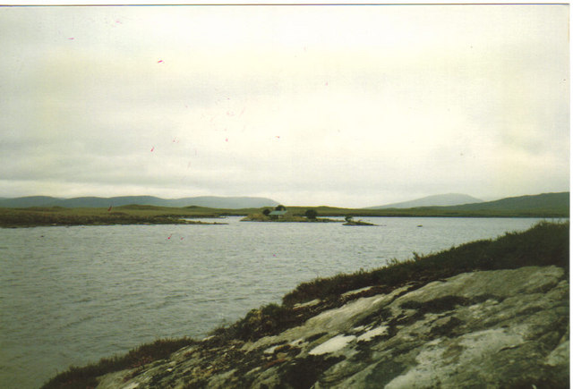
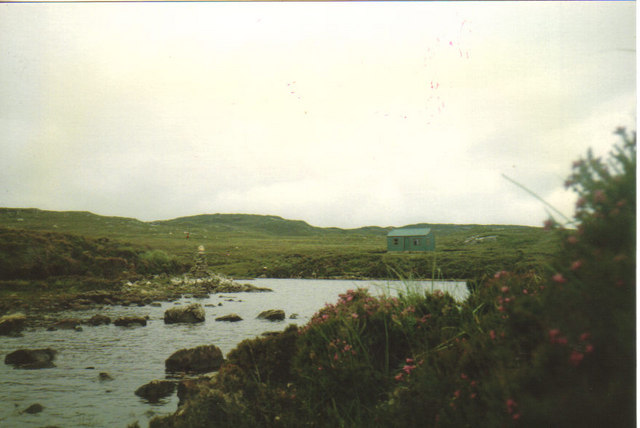
Eilean Mhic Fail is a small and picturesque island located off the coast of Ross-shire, Scotland. The island is situated in the Cromarty Firth, between the towns of Dingwall and Inverness. It is known for its stunning natural beauty and rich cultural history.
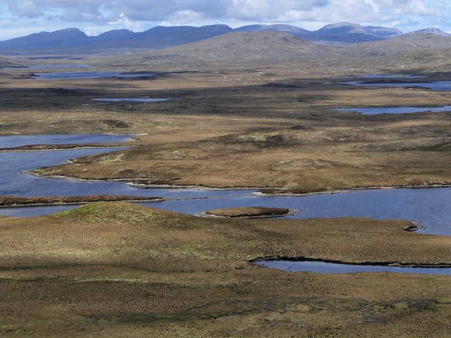
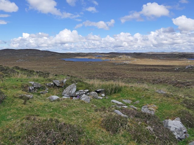
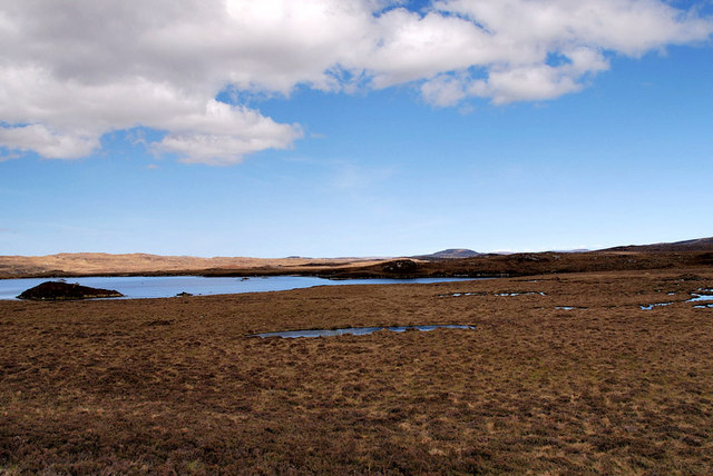
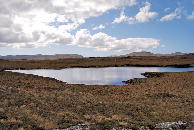
The island is relatively small, measuring around 1.5 hectares in size, and is accessible only by boat. It is characterized by its rugged coastline, rocky cliffs, and lush vegetation. Eilean Mhic Fail offers breathtaking views of the surrounding landscape, including the Cromarty Firth and the distant peaks of the Scottish Highlands.
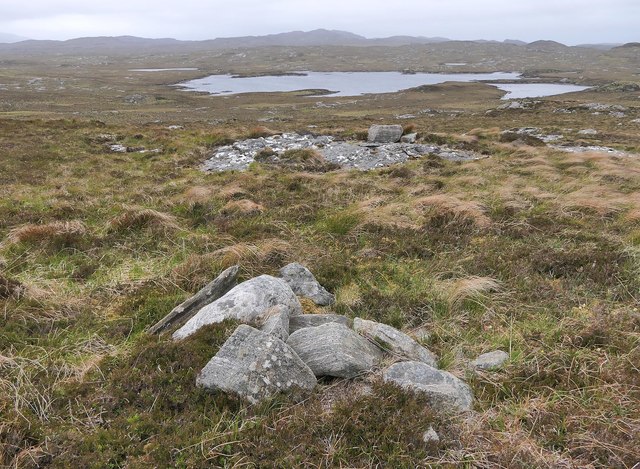
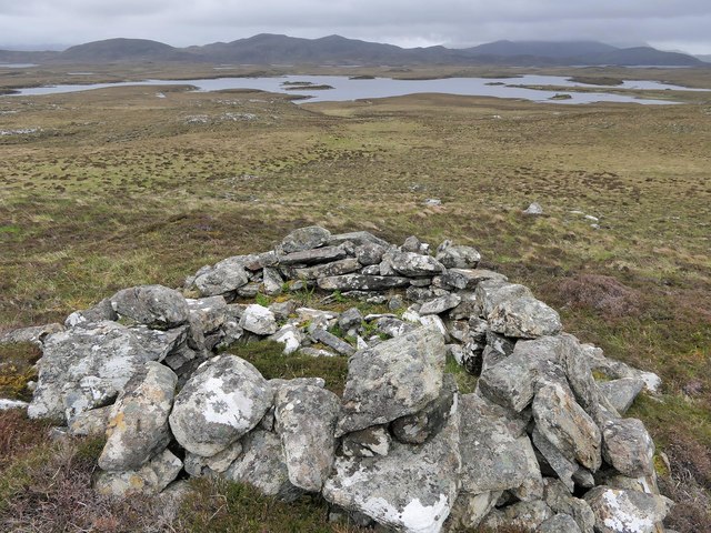
The island has a long and fascinating history. It was once home to a small fishing community, and remnants of their dwellings can still be seen today. The island also played a role during the Jacobite uprisings of the 18th century, and there are several historical landmarks on the island that commemorate this period.
Today, Eilean Mhic Fail is primarily a tourist destination, attracting visitors who are drawn to its tranquility and natural beauty. The island is popular for hiking and birdwatching, with several walking trails and bird sanctuaries available for exploration. It is also a haven for wildlife, with seals, otters, and a variety of bird species often spotted in the surrounding waters.
In conclusion, Eilean Mhic Fail is a small but captivating island in Ross-shire, Scotland. Its stunning landscapes, rich history, and abundant wildlife make it a must-visit destination for nature enthusiasts and history buffs alike.
If you have any feedback on the listing, please let us know in the comments section below.
Eilean Mhic Fail Images
Images are sourced within 2km of 58.10946/-6.7300213 or Grid Reference NB2123. Thanks to Geograph Open Source API. All images are credited.
Eilean Mhic Fail is located at Grid Ref: NB2123 (Lat: 58.10946, Lng: -6.7300213)
Unitary Authority: Na h-Eileanan an Iar
Police Authority: Highlands and Islands
What 3 Words
///careless.impeached.cuff. Near Leurbost, Na h-Eileanan Siar
Nearby Locations
Related Wikis

Eilean Mòr, Loch Langavat
Eilean Mòr is an island in Loch Langavat on the Isle of Lewis in the Outer Hebrides of Scotland. == Footnotes ==

Airidh a' Bhruaich
Airidh a' Bhruaich (Arivruaich - anglicised) is a scattered crofting township in the South Lochs district of the Isle of Lewis in the Outer Hebrides of...

Callanish IV
The Callanish IV stone circle (Scottish Gaelic: Ceann Hulavig) is one of many megalithic structures around the better-known (and larger) Calanais I on...

Balallan
Balallan (Scottish Gaelic: Baile Ailein, Bail' Ailein), meaning "Allan's Town", is a crofting township on the Isle of Lewis, in the Outer Hebrides, Scotland...
Garynahine
Garynahine (Scottish Gaelic: Gearraidh na h-aibhne) is a settlement on Lewis, in the Outer Hebrides, Scotland. Garynahine is situated at a T-junction where...
Garynahine Estate
Garynahine Estate (Scottish Gaelic: Gearraidh na h-aibhne) in Garynahine, a village on the Isle of Lewis, Outer Hebrides was owned by Sir James Matheson...

Gisla Hydro-Electric Scheme
Gisla Hydro-Electric Scheme was a small scheme promoted by the North of Scotland Hydro-Electric Board on the Isle of Lewis, Outer Hebrides, Scotland. It...

Callanish II
The Callanish II stone circle (Scottish Gaelic: Cnoc Ceann a' Gharaidh) is one of many megalithic structures around the better-known (and larger) Calanais...
Have you been to Eilean Mhic Fail?
Leave your review of Eilean Mhic Fail below (or comments, questions and feedback).