Sgeir Ghobhlach

Island in Inverness-shire

Scotland

Sgeir Ghobhlach

Loch Phlocrapoil This is one of the larger lochs on the route of the Golden Road.
Loch Phlocrapoil Credit: Anne Burgess

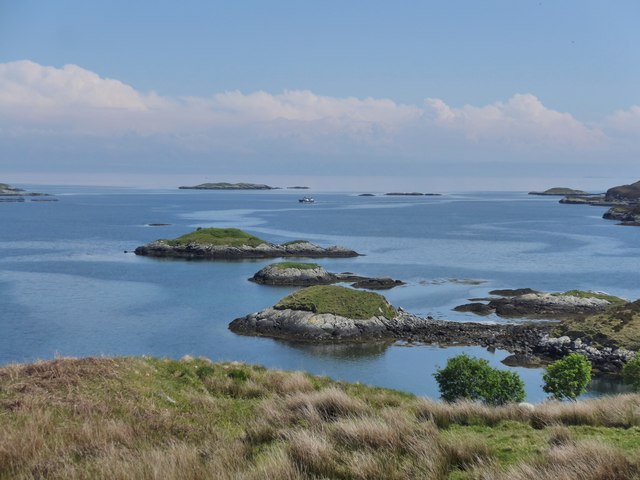
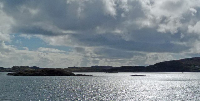
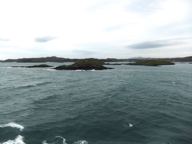
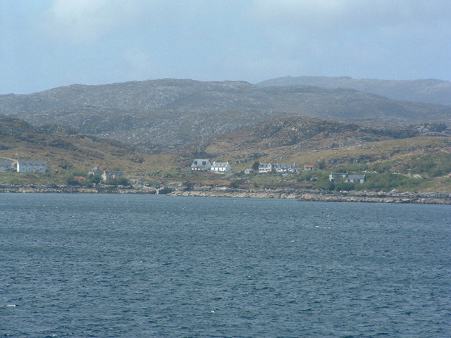
Sgeir Ghobhlach is a small uninhabited island located off the coast of Inverness-shire, Scotland. Also known as Rubha Rèidh Island, it lies in the North Atlantic Ocean and forms part of the Inner Hebrides archipelago. The island is approximately 2.5 kilometers long and 1 kilometer wide, with an area of about 1.2 square kilometers.

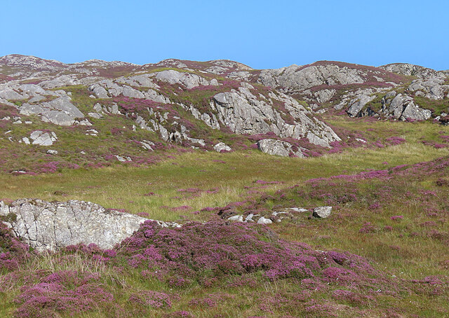
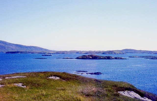
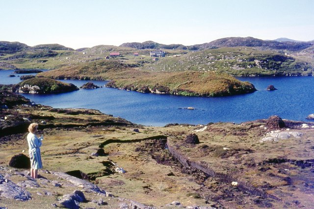
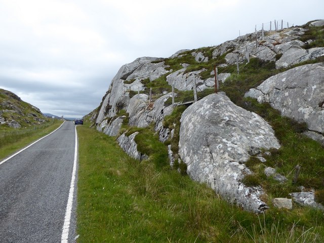
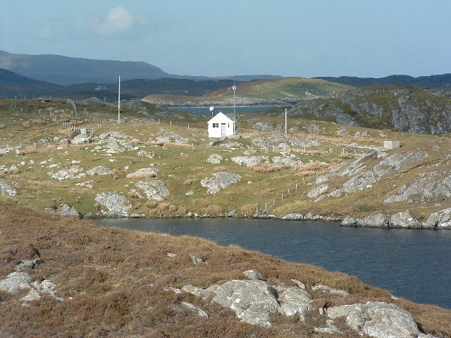
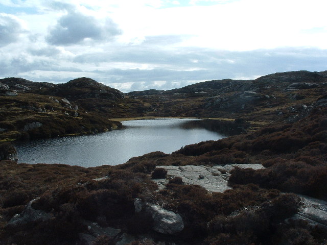
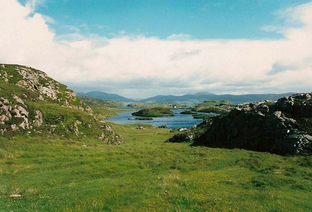
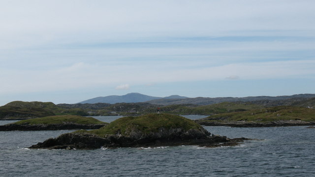
Sgeir Ghobhlach is characterized by its rugged and rocky terrain, with steep cliffs rising up to 30 meters in certain places. The island offers stunning panoramic views of the surrounding sea and the nearby mainland. It is a haven for birdwatchers, as it serves as a breeding ground for various seabirds, including puffins, guillemots, razorbills, and fulmars.

In terms of flora, Sgeir Ghobhlach is home to a variety of grasses, heather, and wildflowers. The island's location and natural features also make it an important site for marine wildlife. Seals are often spotted resting on the rocks, and there have been occasional sightings of dolphins and whales in the surrounding waters.

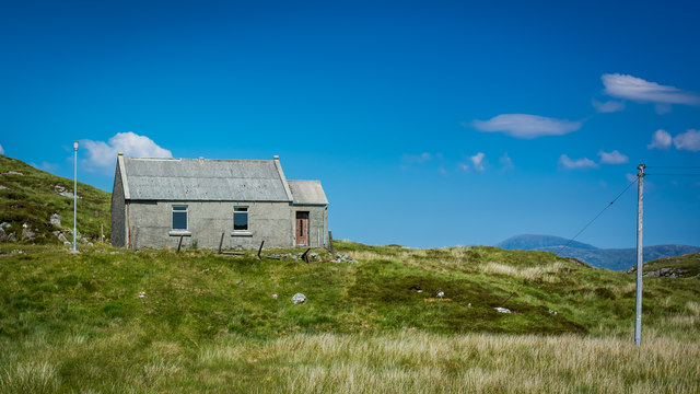
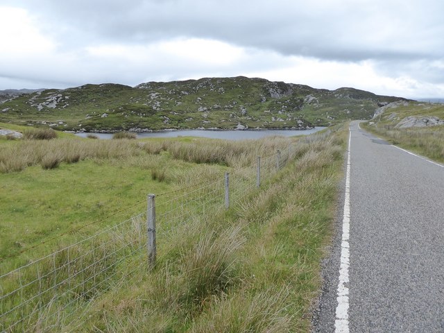
Access to Sgeir Ghobhlach is mainly by boat, and there are no accommodations or facilities on the island. However, it is a popular destination for day trips and nature enthusiasts who enjoy exploring its unique landscapes and observing its diverse wildlife. Visitors are advised to respect the island's fragile ecosystem and to take all necessary precautions when visiting, as the terrain can be challenging to navigate.

If you have any feedback on the listing, please let us know in the comments section below.

Sgeir Ghobhlach Images

Images are sourced within 2km of 57.842309/-6.7374848 or Grid Reference NG1893. Thanks to Geograph Open Source API. All images are credited.

Loch Phlocrapoil This is one of the larger lochs on the route of the Golden Road.
Loch Phlocrapoil
This is one of the larger lochs on the route of the Golden Road.
Lewisian Gneiss This is classic Lewisian Gneiss, in irregular outcrops smoothed by the glaciers of the last (and no doubt previous) Ice Ages.
Lewisian Gneiss
This is classic Lewisian Gneiss, in irregular outcrops smoothed by the glaciers of the last (and no doubt previous) Ice Ages.
Islands and skerries off Drinishader Not quite a painted ship on a painted ocean, but close;  there is a fishing boat dead-centre in this image.
Islands and skerries off Drinishader
Not quite a painted ship on a painted ocean, but close; there is a fishing boat dead-centre in this image.
Gloraig Dhubh, Loch an Tairbeairt, Harris The northern (right hand) tip of Gloraig Dhubh, the larger skerry, and the whole of the smaller skerry lie within the grid square.
Gloraig Dhubh, Loch an Tairbeairt, Harris
The northern (right hand) tip of Gloraig Dhubh, the larger skerry, and the whole of the smaller skerry lie within the grid square.
Dun Corr Mor
Dun Corr Mor
Rubha na Mòine The ferry heading in to Tarbert past the Gloraigs.
Rubha na Mòine
The ferry heading in to Tarbert past the Gloraigs.
Loch Plocrapol at Scadabay
Cattle grid on the Golden Road
Abandoned Kirk at Scadabay
Minor road approaching Plocrapool
Ice-sculpted rock next to minor road at Scadabay
Drinisiadar, Harris A lovely quiet corner of Harris, the white house in the centre, is a bunkhouse/hostel. Get there before the prom gets built along the seafront and the picnic chairs get cemented in. Picture taken from the Uig ferry.
Drinisiadar, Harris
A lovely quiet corner of Harris, the white house in the centre, is a bunkhouse/hostel. Get there before the prom gets built along the seafront and the picnic chairs get cemented in. Picture taken from the Uig ferry.
Drinnishader Telephone Exchange A bit of loch Procrapool/Plochrapoil the microwave fed exchange, and Scalpay in the distance
Drinnishader Telephone Exchange
A bit of loch Procrapool/Plochrapoil the microwave fed exchange, and Scalpay in the distance
I'm getting a signal on my mobile! This may look like a picture of a lochan, but more important - middle centre is the radio mast that means I can phone home. This type of small lochan is a frequent feature in these parts, the mobile signal isn't.
I'm getting a signal on my mobile!
This may look like a picture of a lochan, but more important - middle centre is the radio mast that means I can phone home. This type of small lochan is a frequent feature in these parts, the mobile signal isn't.
Llama Farm - yeah right! As you come down the hill into Drinisiader there's a sign saying "Llama Farm" as I pondered "did I read that right?" these were the first chaps I could ask.
Llama Farm - yeah right!
As you come down the hill into Drinisiader there's a sign saying "Llama Farm" as I pondered "did I read that right?" these were the first chaps I could ask.
Southern end of Loch Plocrapool
Dun Corr Mor The islet of Dun Corr Mor with the navigation beacon on the top.
Dun Corr Mor
The islet of Dun Corr Mor with the navigation beacon on the top.
Plocrapol, Harris Tweed weaving
Show me another place!

Sgeir Ghobhlach is located at Grid Ref: NG1893 (Lat: 57.842309, Lng: -6.7374848)

Unitary Authority: Na h-Eileanan an Iar

Police Authority: Highlands and Islands

What 3 Words

///trailing.intrigues.dusters. Near Tarbert, Na h-Eileanan Siar

Related Wikis

East Loch Tarbert

East Loch Tarbert (Scottish Gaelic: Loch an Tairbeairt) is a sea loch that lies to the east of Harris in the Outer Hebrides of Scotland. The loch contains...

Sgeotasaigh

Scotasay (Scottish Gaelic: Sgeotasaigh) is small island in the Outer Hebrides of Scotland. It lies 1 kilometre (0.6 miles) off the east coast of Harris...

Scalpay, Outer Hebrides

Scalpay (; Scottish Gaelic: Sgalpaigh or Sgalpaigh na Hearadh; i.e. "Scalpay of Harris" to distinguish it from Scalpay off Skye) is an island in the Outer...

Eilean Glas, Scalpay

Eilean Glas is a peninsula of Scalpay in the Outer Hebrides, Scotland. Eilean Glas is home to a historic lighthouse. Eilean Glas means Grey/Green Island...

Nearby Amenities

Located within 500m of 57.842309,-6.7374848
Source: PGS
Lat/Long: 57.8453531/-6.7318916
Source: PGS
Lat/Long: 57.8456517/-6.7318841
Source: PGS
Lat/Long: 57.8453338/-6.7314007
Camas na Roide
Natural: bay
Lat/Long: 57.8394412/-6.7430322
The data included in this document is from www.openstreetmap.org. The data is made available under ODbL.

Have you been to Sgeir Ghobhlach?

Leave your review of Sgeir Ghobhlach below (or comments, questions and feedback).