Eilean nan Cinneachan

Island in Argyllshire

Scotland

Eilean nan Cinneachan

Carnan Dubha
Carnan Dubha Credit: Alan Reid

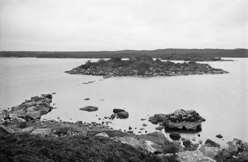
Eilean nan Cinneachan is a small island located in Argyllshire, Scotland. It is situated in the Sound of Mull, near the village of Lochaline. The island covers an area of approximately 2.5 hectares and is known for its scenic beauty and rich history.

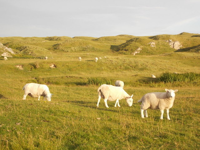
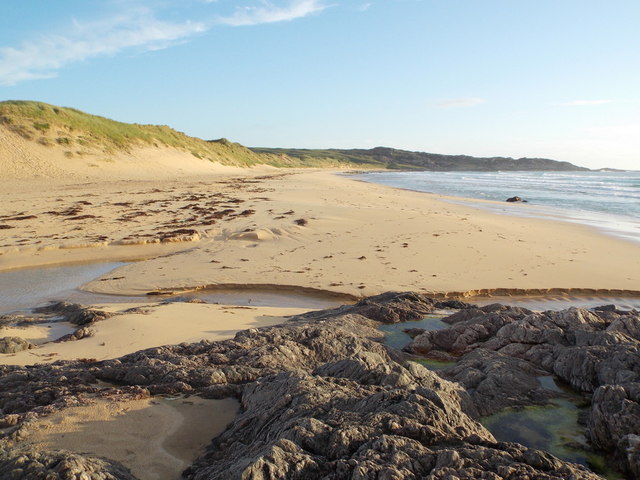
The island is predominantly covered in grass and heather, with a few scattered trees. It offers stunning panoramic views of the surrounding landscapes, including the towering mountains of Morvern and the crystal-clear waters of the Sound of Mull. The island is a haven for wildlife enthusiasts, as it provides a habitat for various bird species, including oystercatchers and herons.

Historically, Eilean nan Cinneachan was used as a burial ground for the MacLean clan, a prominent Scottish clan. The island contains several ancient burial cairns and standing stones, which are believed to date back to the Bronze Age. These historical remnants make the island a fascinating destination for those interested in archaeology and Scottish heritage.

Visitors can reach Eilean nan Cinneachan by boat or kayak, as there are no bridges or causeways connecting it to the mainland. The island offers a peaceful and secluded retreat, allowing visitors to immerse themselves in nature and enjoy the tranquility of the surrounding landscape.

Overall, Eilean nan Cinneachan is a picturesque island with a rich history, making it a popular destination for nature lovers and history enthusiasts alike.

If you have any feedback on the listing, please let us know in the comments section below.

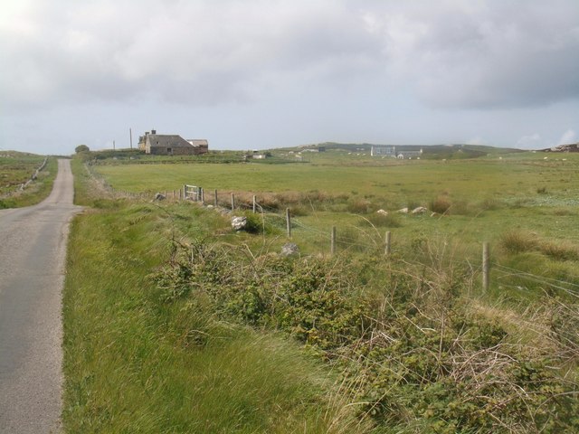
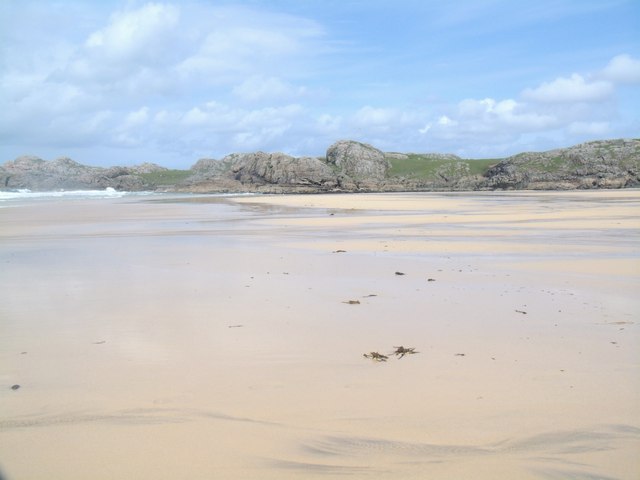
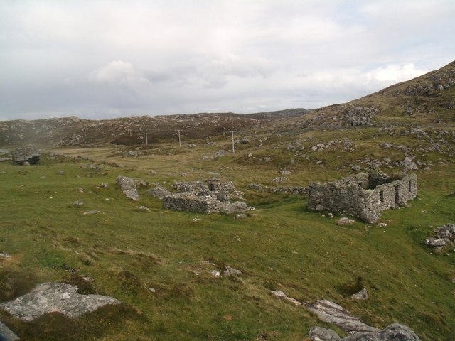
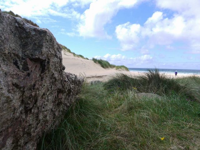
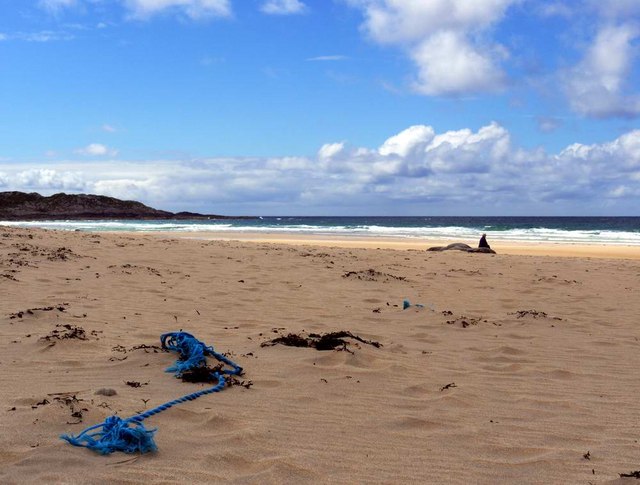
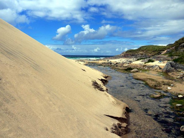
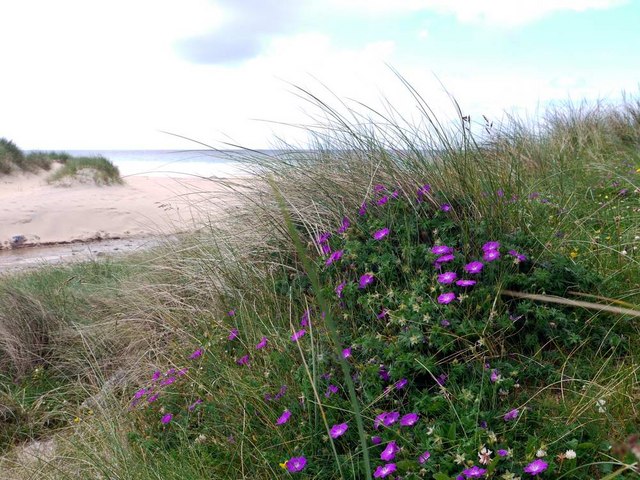
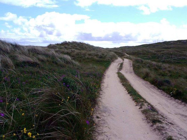
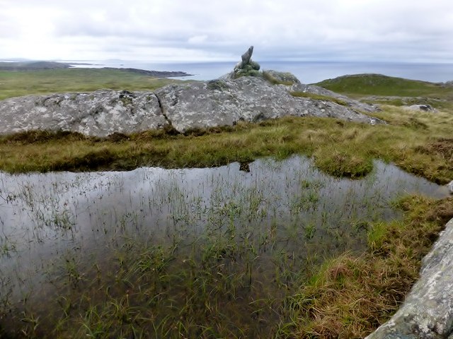
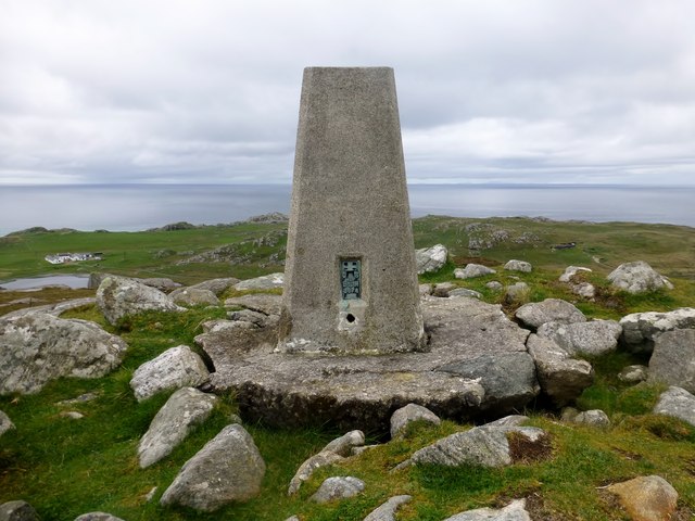
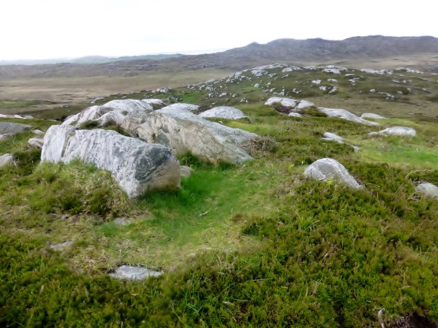
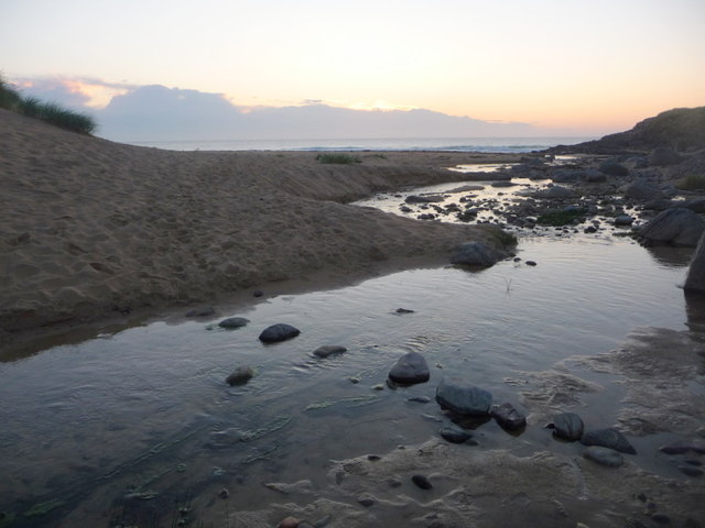
Eilean nan Cinneachan Images

Images are sourced within 2km of 56.618879/-6.5849014 or Grid Reference NM1856. Thanks to Geograph Open Source API. All images are credited.

Carnan Dubha
Carnan Dubha
Approaching Acha This placename is possibly a version of the Gaelic word "achadh", meaning "field".
Approaching Acha
This placename is possibly a version of the Gaelic word "achadh", meaning "field".
Traigh Hogh
Traigh Hogh
Township remains, Ben Hogh
The approach to Hogh Bay Yet another of Coll's glorious beaches.
The approach to Hogh Bay
Yet another of Coll's glorious beaches.
The glorious beach at Traigh Hogh Sadly, the flotsam of modern plastic-ridden life is always with us.
The glorious beach at Traigh Hogh
Sadly, the flotsam of modern plastic-ridden life is always with us.
Burn and dune at Traigh Hogh Set on Coll's west coast, Traigh Hogh (Hogh Shore/Beach) is just one of the many beautiful, deserted beaches on this island.
Burn and dune at Traigh Hogh
Set on Coll's west coast, Traigh Hogh (Hogh Shore/Beach) is just one of the many beautiful, deserted beaches on this island.
Bloody cranesbill at Traigh Hogh This beautiful relative of the geranium family blooms widely on the Coll machair in June - whole banks are stained purple with the flowers.
Bloody cranesbill at Traigh Hogh
This beautiful relative of the geranium family blooms widely on the Coll machair in June - whole banks are stained purple with the flowers.
The track from Ballyhaugh to Totronald The purple blossoms of bloody cranesbill in banks by the track.
The track from Ballyhaugh to Totronald
The purple blossoms of bloody cranesbill in banks by the track.
Ben Hogh Bagged trig and then the real top with Iain Brown and Martin Richardson before a circuit of 3 more TuMPs on an improving afternoon.

Name: Ben Hogh
Hill number: 4817
Height: 106m / 348ft
Parent (Ma/M): none
Area: 17F: Coll and Tiree
Class: Hu,1
Grid ref: NM 18357 57709
Summit feature: cairn on SE top
Drop: 106m
Col: Sea
Ben Hogh
Bagged trig and then the real top with Iain Brown and Martin Richardson before a circuit of 3 more TuMPs on an improving afternoon. Name: Ben Hogh Hill number: 4817 Height: 106m / 348ft Parent (Ma/M): none Area: 17F: Coll and Tiree Class: Hu,1 Grid ref: NM 18357 57709 Summit feature: cairn on SE top Drop: 106m Col: Sea
Ben Hogh Trig Ben Hogh trig point on the Isle of Coll which is some way from the actual summit of Ben Hogh.
Ben Hogh Trig
Ben Hogh trig point on the Isle of Coll which is some way from the actual summit of Ben Hogh.
Cnocan na Ban Cnocan na Ban summit with a view back towards Ben Hogh. Second TuMP on a circuit of four with Iain Brown and Martin Richardson.
Name: Cnocan na Ban
Hill number: 10420
Height: 90m / 295ft
Parent (Ma/M): none
Area: 17F: Coll and Tiree
Class: 0
Grid ref: NM 19429 57655
Summit feature: rock outcrop
Drop: 49m
Col: 41m  NM189573
Cnocan na Ban
Cnocan na Ban summit with a view back towards Ben Hogh. Second TuMP on a circuit of four with Iain Brown and Martin Richardson. Name: Cnocan na Ban Hill number: 10420 Height: 90m / 295ft Parent (Ma/M): none Area: 17F: Coll and Tiree Class: 0 Grid ref: NM 19429 57655 Summit feature: rock outcrop Drop: 49m Col: 41m NM189573
Isle of Coll: stepping stones to Hogh Bay The wonderful beach is accessed by crossing an unnamed stream, this being probably the easiest crossing place.
Isle of Coll: stepping stones to Hogh Bay
The wonderful beach is accessed by crossing an unnamed stream, this being probably the easiest crossing place.
Isle of Coll: sheep and dunes near Hogh Bay Sheep and dunes are typical features of the Isle of Coll, although this patch of dunes is a bit more separated from the coast than the majority, which back the sandy beaches of the island.
Isle of Coll: sheep and dunes near Hogh Bay
Sheep and dunes are typical features of the Isle of Coll, although this patch of dunes is a bit more separated from the coast than the majority, which back the sandy beaches of the island.
Isle of Coll: Hogh Bay from the northeast Looking along the beach from the rocks at the northeast end of the bay, across the foreground stream which flows into the sea here.
Isle of Coll: Hogh Bay from the northeast
Looking along the beach from the rocks at the northeast end of the bay, across the foreground stream which flows into the sea here.
Isle of Coll: dunes backing onto Hogh Bay We have paddled out a fair distance but are still only ankle-deep in the sea as we look back across the sand towards the dunes.
Isle of Coll: dunes backing onto Hogh Bay
We have paddled out a fair distance but are still only ankle-deep in the sea as we look back across the sand towards the dunes.
Isle of Coll: sheep atop a rock by Hogh Bay Looking towards the rocky north end of Hogh Bay from the track leading to it from the end of the road. A sheep is silhouetted as it stands on top of a rock just after sunset.
Isle of Coll: sheep atop a rock by Hogh Bay
Looking towards the rocky north end of Hogh Bay from the track leading to it from the end of the road. A sheep is silhouetted as it stands on top of a rock just after sunset.
Show me another place!

Eilean nan Cinneachan is located at Grid Ref: NM1856 (Lat: 56.618879, Lng: -6.5849014)

Unitary Authority: Argyll and Bute

Police Authority: Argyll and West Dunbartonshire

What 3 Words

///earmarked.throats.duration. Near Arinagour, Argyll & Bute

Related Wikis

Dùn Anlaimh

Dùn Anlaimh, also known as Dùn Amhlaidh, and Eilean nan Cinneachan, is a crannog (an artificial island), located within Loch nan Cinneachan on the Inner...

Totamore dun

Totamore Dun is a dun located at grid reference NM17625713; near the settlement of Totamore, on the Inner Hebridean island of Coll. It occupies the summit...

An Caisteal (Coll)

An Caisteal (English: The Castle) is a hill fort located on the island of Coll. This island is one of the islands which make up the Inner Hebrides located...

Acha, Coll

Acha (Gaelic: An t-Achadh, tranlsating to "The Field") is a small hamlet on the Scottish island of Coll. == References == == See also == Dùn an Achaidh...

Have you been to Eilean nan Cinneachan?

Leave your review of Eilean nan Cinneachan below (or comments, questions and feedback).