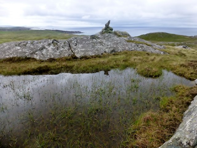
Loch nan Cinneachan
Lake, Pool, Pond, Freshwater Marsh in Argyllshire
Scotland
Loch nan Cinneachan
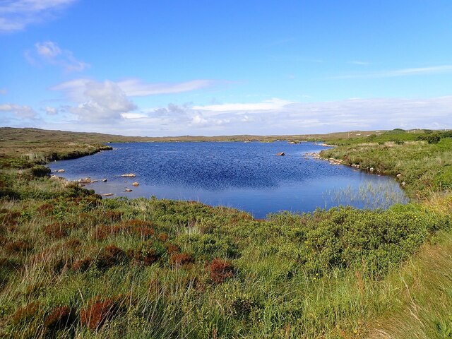
Loch nan Cinneachan is a picturesque freshwater loch located in the region of Argyllshire, Scotland. Nestled amidst the stunning Highland landscape, this enchanting body of water offers a serene and tranquil atmosphere for visitors to enjoy.
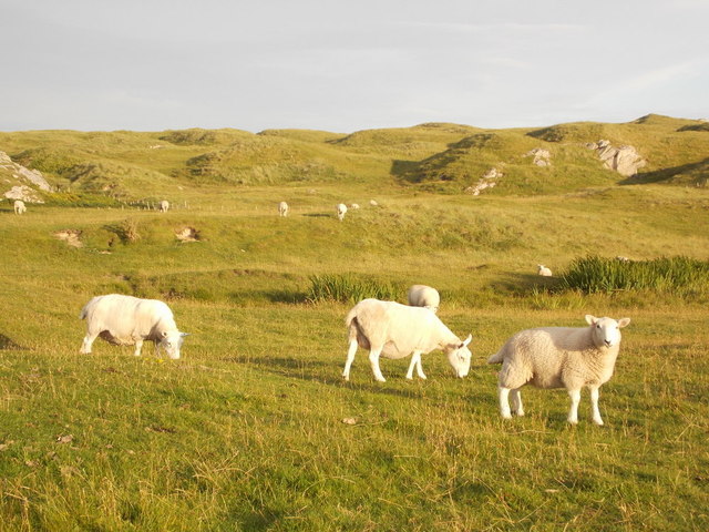
Covering an area of around 15 acres, Loch nan Cinneachan is relatively small in size but boasts a rich biodiversity. Surrounded by lush vegetation and rolling hills, the loch is home to a variety of plant and animal species. Its calm waters provide a habitat for numerous freshwater fish such as trout and perch, making it a popular spot for anglers.
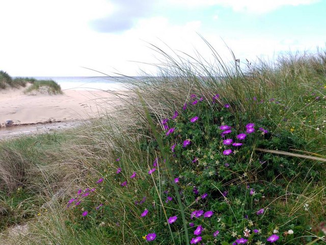
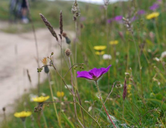
The loch's shoreline is adorned with vibrant wildflowers during the summer months, attracting a multitude of butterflies and other insects. Additionally, the surrounding wetlands create a haven for birdlife, with species like mallards, tufted ducks, and herons frequenting the area. Birdwatchers will find themselves captivated by the diverse avian population that calls Loch nan Cinneachan home.
Visitors to the loch can take advantage of the peaceful surroundings by enjoying activities such as kayaking, paddleboarding, or simply taking a leisurely stroll along the shoreline. The stunning vistas and the tranquility of the area make it an ideal location for nature enthusiasts and photographers seeking to capture the essence of the Scottish Highlands.
Overall, Loch nan Cinneachan offers a pristine and idyllic setting for those looking to immerse themselves in the natural beauty and serenity that Argyllshire has to offer.
If you have any feedback on the listing, please let us know in the comments section below.
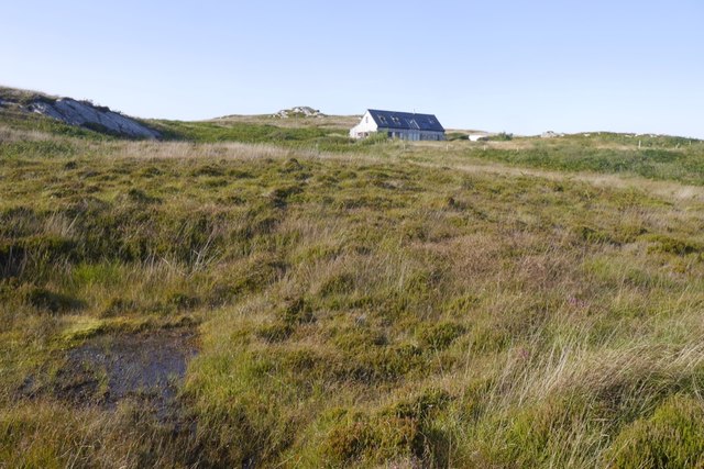
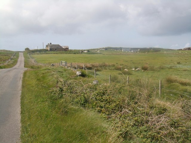
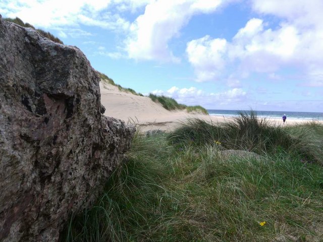
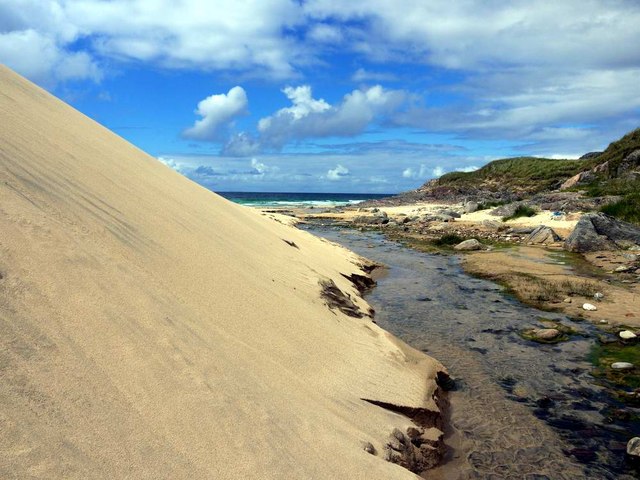
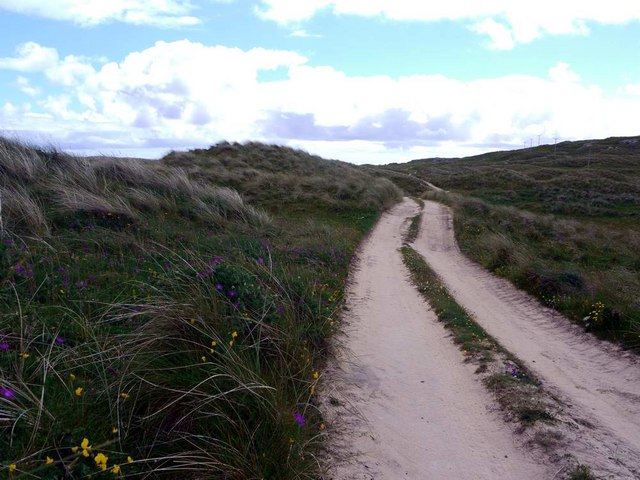
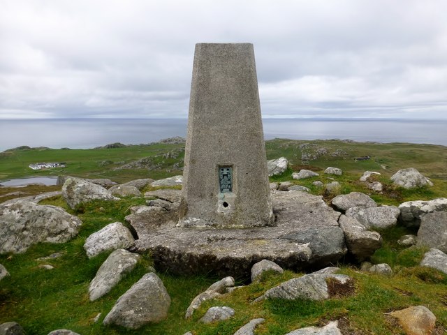
Loch nan Cinneachan Images
Images are sourced within 2km of 56.616778/-6.5852987 or Grid Reference NM1856. Thanks to Geograph Open Source API. All images are credited.


Loch nan Cinneachan is located at Grid Ref: NM1856 (Lat: 56.616778, Lng: -6.5852987)
Unitary Authority: Argyll and Bute
Police Authority: Argyll and West Dunbartonshire
What 3 Words
///reunion.epidemics.demand. Near Arinagour, Argyll & Bute
Nearby Locations
Related Wikis
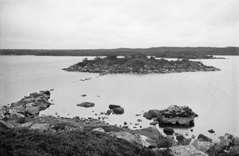
Dùn Anlaimh
Dùn Anlaimh, also known as Dùn Amhlaidh, and Eilean nan Cinneachan, is a crannog (an artificial island), located within Loch nan Cinneachan on the Inner...

Totamore dun
Totamore Dun is a dun located at grid reference NM17625713; near the settlement of Totamore, on the Inner Hebridean island of Coll. It occupies the summit...

Acha, Coll
Acha (Scottish Gaelic: An t-Achadh, tranlsating to "The Field") is a small hamlet on the Scottish island of Coll. == References == == See also == Dùn an...

Dùn an Achaidh
Dùn an Achaidh, sometimes Anglicised as Dun Acha, is a dun located near the village of Acha on the Inner Hebridean island of Coll. It is considered the...
Have you been to Loch nan Cinneachan?
Leave your review of Loch nan Cinneachan below (or comments, questions and feedback).