Eilean nam Feannag

Island in Ross-shire

Scotland

Eilean nam Feannag

Eileen Louise at Ãird Iarsiadar Mussel farm service boat. Moored at its jetty on the Atlantic coast of Lewis; looking across to Great Bernera/Breàrnaraigh
Eileen Louise at Ãird Iarsiadar Credit: M J Richardson

Eilean nam Feannag is a small island located off the coast of Ross-shire in the Scottish Highlands. It is situated in the Inner Sound, between the Isle of Skye and the mainland. The island measures approximately 1.5 miles in length and 1 mile in width, making it quite compact.

The name Eilean nam Feannag translates to "Island of the Ringed Plover" in Gaelic, which is fitting as the island is known to be a breeding ground for this bird species. Eilean nam Feannag is also home to a variety of other bird species, including gulls and terns.

The island is mostly uninhabited, with no permanent structures or human population. It is a designated nature reserve, managed by Scottish Natural Heritage, in order to protect its diverse wildlife and fragile ecosystem. Access to the island is restricted, and visitors are required to obtain permission from the nature reserve before landing.

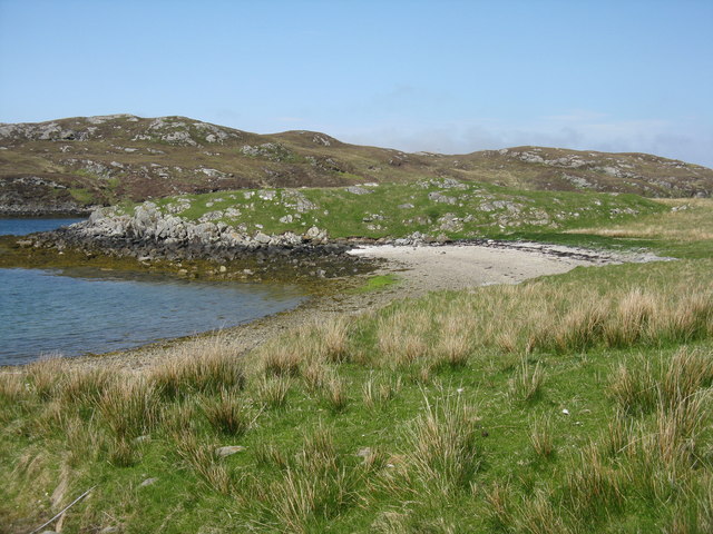
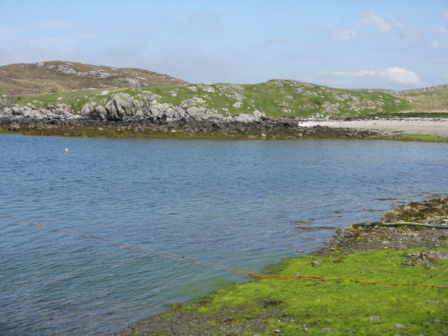
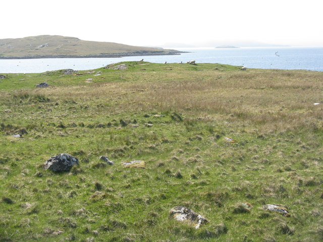
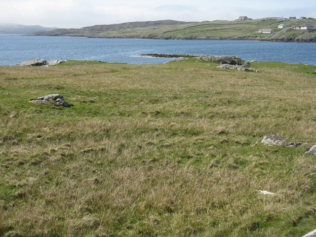
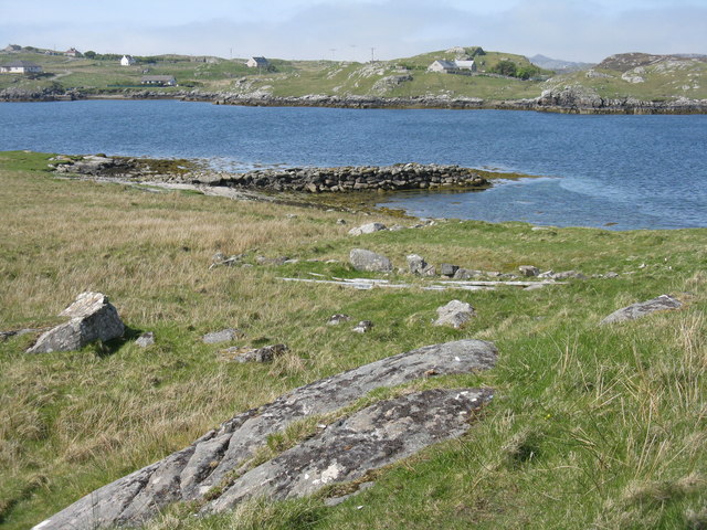
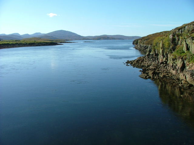
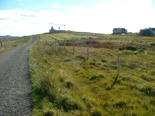
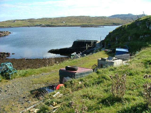
Eilean nam Feannag offers stunning natural beauty, with its rugged coastline, rocky shores, and grassy slopes. It is a haven for outdoor enthusiasts, offering opportunities for birdwatching, hiking, and photography. The island also provides a peaceful retreat for those seeking tranquility and a connection with nature.

Overall, Eilean nam Feannag is a hidden gem in Ross-shire, offering a unique and untouched natural environment that is worth exploring for nature lovers and adventure seekers alike.

If you have any feedback on the listing, please let us know in the comments section below.

Eilean nam Feannag Images

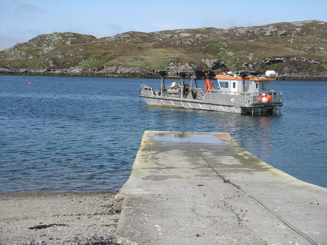
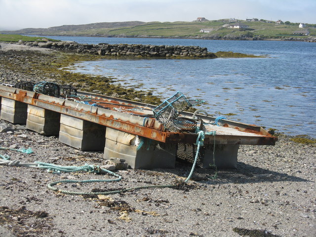
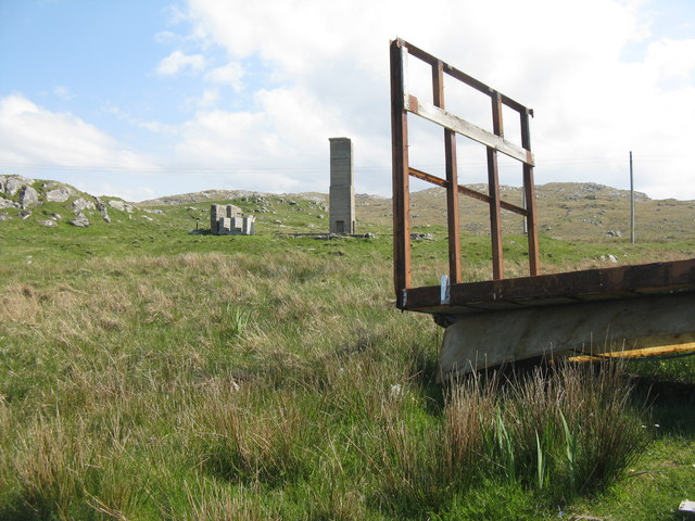
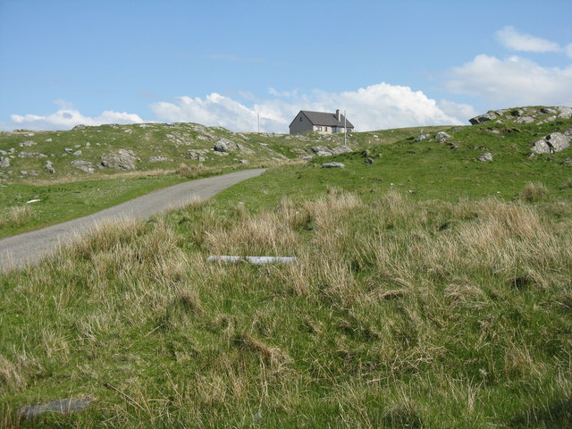
Images are sourced within 2km of 58.19696/-6.8625003 or Grid Reference NB1433. Thanks to Geograph Open Source API. All images are credited.

Eileen Louise at Ãird Iarsiadar Mussel farm service boat. Moored at its jetty on the Atlantic coast of Lewis; looking across to Great Bernera/Breàrnaraigh
Eileen Louise at Ãird Iarsiadar
Mussel farm service boat. Moored at its jetty on the Atlantic coast of Lewis; looking across to Great Bernera/Breàrnaraigh
Pontoon at Ãird Iarsiadar On shore at the mussel farm, with an old wall or jetty beyond. Great Bernera/Beàrnaraigh is beyond.
Pontoon at Ãird Iarsiadar
On shore at the mussel farm, with an old wall or jetty beyond. Great Bernera/Beàrnaraigh is beyond.
Trailer at Iarsiadar At the end of the road, at the mussel farm in <a href="https://www.geograph.org.uk/gridref/NB1533">NB1533</a>.
Trailer at Iarsiadar
At the end of the road, at the mussel farm in NB1533.
House at Iarsiadar Looking east from Àird Iarsiadar.
House at Iarsiadar
Looking east from Àird Iarsiadar.
Small beach at Rubha Sheothail Looking out to Sruth Iarsiadsair.
Small beach at Rubha Sheothail
Looking out to Sruth Iarsiadsair.
Rubha Sheothail Small bay and headland at Iarsiadar.
Rubha Sheothail
Small bay and headland at Iarsiadar.
Loch Ròg Looking from Ãird Iarsiadar to Ãird Tòranais.
Loch Ròg
Looking from Ãird Iarsiadar to Ãird Tòranais.
Rubha na h-Eubhaich Looking northwest across Loch Ròg to Hacklete/Tacleit on Great Bernera/Beàrnaraigh
Rubha na h-Eubhaich
Looking northwest across Loch Ròg to Hacklete/Tacleit on Great Bernera/Beàrnaraigh
Breakwater at Iarsiadar Looking north, across Sruth Iarsiadar, to houses at Hacklete/Tacleit on Great Bernera/Beàrnaraigh.
Breakwater at Iarsiadar
Looking north, across Sruth Iarsiadar, to houses at Hacklete/Tacleit on Great Bernera/Beàrnaraigh.
Mussel farm building at Iarsiadar With the Bernera Bridge beyond, connecting the Isle of Lewis to Great Bernera/Beàrnaraigh.
Mussel farm building at Iarsiadar
With the Bernera Bridge beyond, connecting the Isle of Lewis to Great Bernera/Beàrnaraigh.
Boats at Iarsiadar Looking across Sruth Iarsiadar to Great Bernera/Beàrnaraigh from the mussel fishery yard at Iarsiadar.
Boats at Iarsiadar
Looking across Sruth Iarsiadar to Great Bernera/Beàrnaraigh from the mussel fishery yard at Iarsiadar.
Sruth Iarsiadar Looking west from the Lewis to Bearnaraigh bridge.
Sruth Iarsiadar
Looking west from the Lewis to Bearnaraigh bridge.
Lochan Sgeirean North of Tacleit.
Lochan Sgeirean
North of Tacleit.
Houses at Tacleit Tacleit is a small crofting settlement on the southeastern coast of Bearnaraigh (Great Bernera)
Houses at Tacleit
Tacleit is a small crofting settlement on the southeastern coast of Bearnaraigh (Great Bernera)
Tacleit Pier The township of Tacleit is on the southwest coast of Bearnaraigh.The view is towards Iarsiadar on the Lewis mainland.
Tacleit Pier
The township of Tacleit is on the southwest coast of Bearnaraigh.The view is towards Iarsiadar on the Lewis mainland.
Cliatasay On the island of Cliatasay in Loch Roag, on the site of a kelp kiln.  Vuia Mhor is visible in the distance.  The Geshader crofters used to graze their bull on this island.
Cliatasay
On the island of Cliatasay in Loch Roag, on the site of a kelp kiln. Vuia Mhor is visible in the distance. The Geshader crofters used to graze their bull on this island.
Cliatasay Natural landing stage on the island of Cliatasay in Loch Roag, used for the manufacture of potash from kelp in the early 19th century.  Vuia Mhor in the distance.
Cliatasay
Natural landing stage on the island of Cliatasay in Loch Roag, used for the manufacture of potash from kelp in the early 19th century. Vuia Mhor in the distance.
Cliatasay The rather featureless west-side of Cliatasay in Loch Roag; evidence of an old peat-cutting.
Cliatasay
The rather featureless west-side of Cliatasay in Loch Roag; evidence of an old peat-cutting.
Show me another place!

Eilean nam Feannag is located at Grid Ref: NB1433 (Lat: 58.19696, Lng: -6.8625003)

Unitary Authority: Na h-Eileanan an Iar

Police Authority: Highlands and Islands

What 3 Words

///heaven.rational.expired. Near Carloway, Na h-Eileanan Siar

Related Wikis

Loch Ròg

Loch Ròg or Loch Roag is a large sea loch on the west coast of Lewis, Outer Hebrides. It is broadly divided into East Loch Roag and West Loch Roag with...

Fuaigh Mòr

Fuaigh Mòr (sometimes anglicised as Vuia Mor) is an island in the Outer Hebrides of Scotland. It is off the west coast of Lewis near Great Bernera in...

Fuaigh Beag

Fuaigh Beag or Vuia Be(a)g is an island in the Outer Hebrides. It is off the west coast of Lewis near Great Bernera in Loch Roag. Its name means "little...

Callanish VIII

The Callanish VIII stone setting is one of many megalithic structures around the better-known (and larger) Calanais I on the west coast of the Isle of...

Nearby Amenities

Located within 500m of 58.19696,-6.8625003
Created By: dmgroom_coastlines
Lat/Long: 58.19585/-6.86656
The data included in this document is from www.openstreetmap.org. The data is made available under ODbL.

Have you been to Eilean nam Feannag?

Leave your review of Eilean nam Feannag below (or comments, questions and feedback).