Achamore

Settlement in Ross-shire
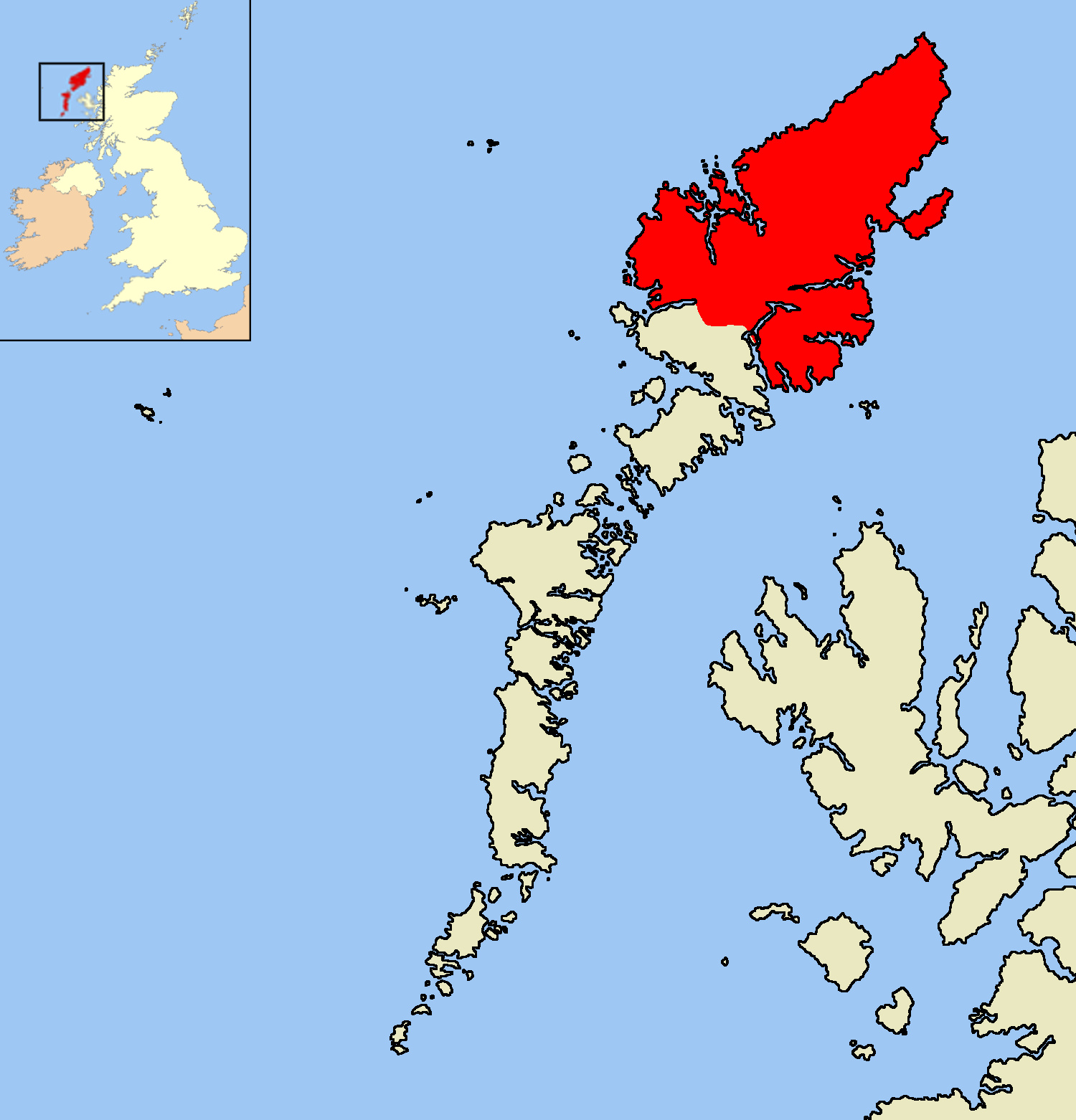
Scotland

Achamore

Polytunnel near Achmore
Polytunnel near Achmore Credit: David Dixon

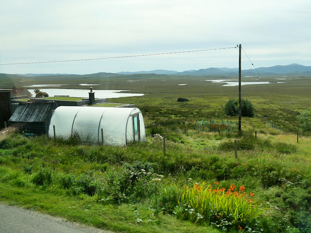
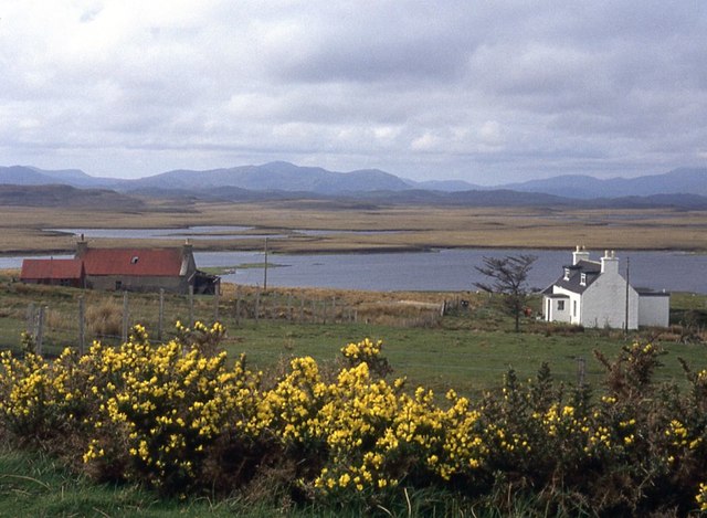
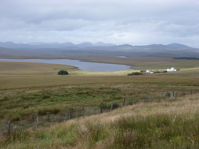
Achamore is a small village located in Ross-shire, Scotland. Situated on the beautiful Isle of Mull, it lies on the western coast of the island, overlooking the Sound of Mull. With its picturesque setting and stunning views of the surrounding landscape, Achamore attracts visitors year-round.

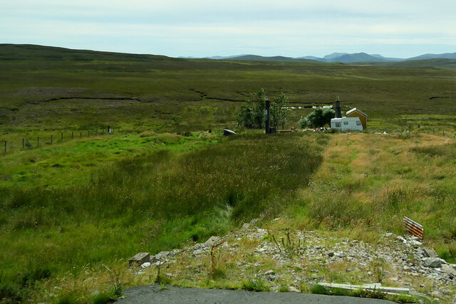
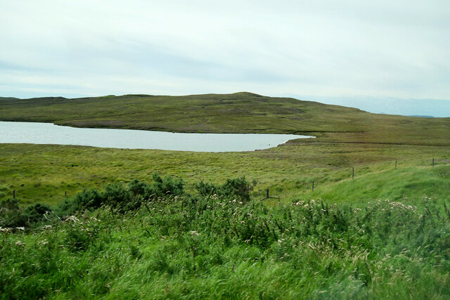
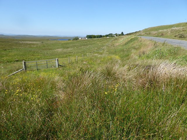
The village is known for its tranquil atmosphere and close-knit community. Residents enjoy a peaceful lifestyle amidst the breathtaking natural beauty of the area. Achamore is surrounded by rolling hills, lush green fields, and dense forests, providing ample opportunities for outdoor activities such as hiking, birdwatching, and photography.

One of the main attractions in Achamore is the Achamore Gardens, a magnificent 54-acre estate renowned for its diverse plant collection. The gardens feature an impressive array of exotic and native plants, including rhododendrons, azaleas, and magnolias. Visitors can explore the well-maintained paths, marvel at the vibrant colors, and enjoy the peaceful ambiance.

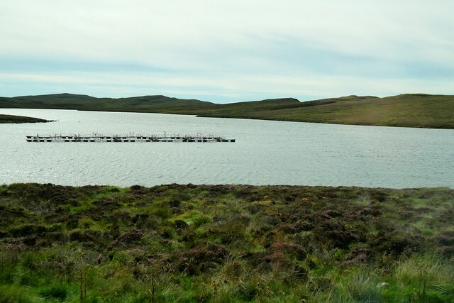
Achamore is also a popular destination for wildlife enthusiasts. The area is home to a variety of bird species, including golden eagles, sea eagles, and puffins. Seals and dolphins can often be spotted in the waters surrounding the village, adding to the area's natural allure.

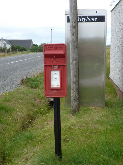
Although small in size, Achamore offers essential amenities such as a post office, a local shop, and a pub, ensuring that residents and visitors have access to basic necessities. For a wider range of services and facilities, the nearby town of Tobermory is easily accessible.

Overall, Achamore is a hidden gem in Ross-shire, offering a peaceful retreat, stunning natural scenery, and a warm community spirit to those who visit or call it home.

If you have any feedback on the listing, please let us know in the comments section below.
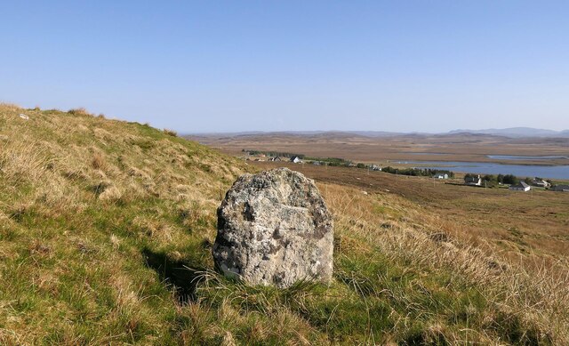
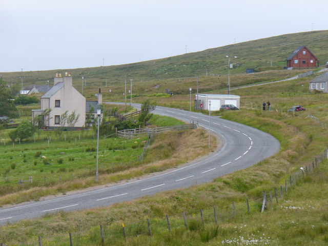
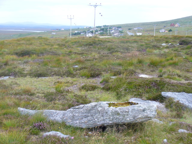
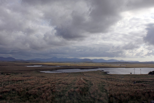
Achamore Images

Images are sourced within 2km of 58.167308/-6.5621371 or Grid Reference NB3128. Thanks to Geograph Open Source API. All images are credited.

Polytunnel near Achmore
Bus Stop at Achmore Achmore (Scottish Gaelic: An t-Acha Mòr; marked on some maps as Acha Mòr) is the only village on Lewis which does not lie on the coast. It is situated on the A858 about 7 miles (11 km) southwest of Stornoway. Its name means "big field".
Bus Stop at Achmore
Achmore (Scottish Gaelic: An t-Acha Mòr; marked on some maps as Acha Mòr) is the only village on Lewis which does not lie on the coast. It is situated on the A858 about 7 miles (11 km) southwest of Stornoway. Its name means "big field".
Moorland near Achmore
Moorland near Loch Thobhta Bridein
Fish Farm Cages on Loch Thobhta Bridein
Crofts at Achamore
Crofts at Achamore
Boggy land next to the A858, with Loch Acha Mor in the distance
Access track to Èitseal transmitter site, Isle of Lewis There are a range of broadcast and communications transmitters within the site.
Access track to Èitseal transmitter site, Isle of Lewis
There are a range of broadcast and communications transmitters within the site.
Achmore stone circle Four stones forming part of a stone circle exposed by peat cutting (Scale 1m). <span class="nowrap"><a title="https://canmore.org.uk/site/4232/lewis-achmore" rel="nofollow ugc noopener" href="https://canmore.org.uk/site/4232/lewis-achmore">Link</a><img style="margin-left:2px;" alt="External link" title="External link - shift click to open in new window" src="https://s1.geograph.org.uk/img/external.png" width="10" height="10"/></span>
Achmore stone circle
Four stones forming part of a stone circle exposed by peat cutting (Scale 1m). LinkExternal link
Clach Bioreach, Acha Mòr, Isle of Lewis Looking towards houses in Acha Mòr which lie along the A858.

From <span class="nowrap"><a title="https://canmore.org.uk/site/123589" rel="nofollow ugc noopener" href="https://canmore.org.uk/site/123589">Link</a><img style="margin-left:2px;" alt="External link" title="External link - shift click to open in new window" src="https://s1.geograph.org.uk/img/external.png" width="10" height="10"/></span> : "Standing stone, 0.95m high by 0.8m wide by 0.25m thick, surrounded by a level layer of packing stones. Clach Bioreach means the sharp or pointed stone. The top of the stone has been broken, so it must have been taller, and possibly pointed."
Clach Bioreach, Acha Mòr, Isle of Lewis
Looking towards houses in Acha Mòr which lie along the A858. From LinkExternal link : "Standing stone, 0.95m high by 0.8m wide by 0.25m thick, surrounded by a level layer of packing stones. Clach Bioreach means the sharp or pointed stone. The top of the stone has been broken, so it must have been taller, and possibly pointed."
Acha Mor / Achmore Lewisian village around a road junction in the middle of the island.
Acha Mor / Achmore
Lewisian village around a road junction in the middle of the island.
Achmore Stone Circle Megalithic stone circle on the hillside east of Achmore village. Mainly fallen stones, it was found as a result of peat cutting.
<span class="nowrap"><a title="http://www.megalithic.co.uk/article.php?sid=1737151301" rel="nofollow ugc noopener" href="http://www.megalithic.co.uk/article.php?sid=1737151301">Link</a><img style="margin-left:2px;" alt="External link" title="External link - shift click to open in new window" src="https://s1.geograph.org.uk/img/external.png" width="10" height="10"/></span>
Achmore Stone Circle
Megalithic stone circle on the hillside east of Achmore village. Mainly fallen stones, it was found as a result of peat cutting. LinkExternal link
Loch Acha Mòr From A858 near the Mission House at Acha Mòr.
Loch Acha Mòr
From A858 near the Mission House at Acha Mòr.
Achmore: postbox № HS2 60 and phone This postbox and modern phone box stand opposite the village's post office. The postbox is emptied each morning except Sunday at quarter past eleven.
Achmore: postbox № HS2 60 and phone
This postbox and modern phone box stand opposite the village's post office. The postbox is emptied each morning except Sunday at quarter past eleven.
Achmore: towards Loch Ganvich A westward view from the A858.
Achmore: towards Loch Ganvich
A westward view from the A858.
Moorland north of Acha Mòr With the TV mast at Eitseal in the background.
Moorland north of Acha Mòr
With the TV mast at Eitseal in the background.
Track To Eitshal Summit Basic track towards mast complex and trig point on the summit of Eitshal.
Track To Eitshal Summit
Basic track towards mast complex and trig point on the summit of Eitshal.
Achmore on the A858 The single track road has been downgraded now, in favour of a double width road from the A859 to Harris.
Achmore on the A858
The single track road has been downgraded now, in favour of a double width road from the A859 to Harris.
Show me another place!

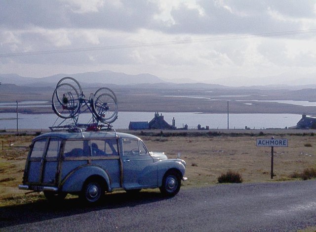
Achamore is located at Grid Ref: NB3128 (Lat: 58.167308, Lng: -6.5621371)

Unitary Authority: Na h-Eileanan an Iar

Police Authority: Highlands and Islands

Also known as: Acha Mòr

What 3 Words

///departure.slipped.sharpness. Near Leurbost, Na h-Eileanan Siar

Nearby Locations

Acha Mòr Achamore

Related Wikis

Achmore, Lewis

Achmore (Scottish Gaelic: An t-Acha Mòr; marked on some maps as Acha Mòr) is a village in the Scottish Outer Hebrides, on the Isle of Lewis. The name means...

Isle of Lewis

The Isle of Lewis (Scottish Gaelic: Eilean Leòdhais) or simply Lewis (Scottish Gaelic: Leòdhas, pronounced [ˈʎɔːəs̪] ) is the northern part of Lewis and...

Leurbost

Leurbost (Scottish Gaelic: Liùrbost) is a village on the east coast of the Isle of Lewis in the Outer Hebrides of Scotland. It is approximately 6 miles...

Rainish Eilean Mòr

Rainish Eilean Mòr is an uninhabited island in Loch Orasaigh, north of the village of Leurbost in the area of South Lochs on the Isle of Lewis, Lewis and...

North Lochs

North Lochs, (Scottish Gaelic: Ceann a Tuath nan Loch), an area in eastern Lewis, Outer Hebrides, Scotland, is named for the many lochans (small lochs...

Crossbost

Crossbost is a village on the Isle of Lewis in the parish of North Lochs, in the Outer Hebrides, Scotland. It is located approximately ten miles away...

Garynahine

Garynahine (Scottish Gaelic: Gearraidh na h-aibhne) is a settlement on Lewis, in the Outer Hebrides, Scotland. Garynahine is situated at a T-junction where...

Garynahine Estate

Garynahine Estate (Scottish Gaelic: Gearraidh na h-aibhne) in Garynahine, a village on the Isle of Lewis, Outer Hebrides was owned by Sir James Matheson...

Nearby Amenities

Located within 500m of 58.167308,-6.5621371
Turning Circle
Lat/Long: 58.1654432/-6.5636282
Barrier: cattle_grid
Lat/Long: 58.1659086/-6.5602484
Barrier: cattle_grid
Lat/Long: 58.16614/-6.5614666
Turning Circle
Lat/Long: 58.1680964/-6.5649137
Power: pole
Lat/Long: 58.1685509/-6.5626547
Power: pole
Lat/Long: 58.1689795/-6.5634996
Power: pole
Lat/Long: 58.1694053/-6.5644035
Power: pole
Lat/Long: 58.1702413/-6.5660825
Power: pole
Lat/Long: 58.1706813/-6.5674317
Power: pole
Lat/Long: 58.1706162/-6.56656
Power: pole
Lat/Long: 58.170264/-6.5654817
Power: pole
Lat/Long: 58.1697533/-6.5644839
Power: pole
Lat/Long: 58.1693275/-6.5636471
Power: pole
Lat/Long: 58.1688692/-6.5627137
Power: pole
Lat/Long: 58.1665363/-6.5619546
Power: pole
Lat/Long: 58.166907/-6.5610507
Power: pole
Lat/Long: 58.1677049/-6.5609407
Power: pole
Lat/Long: 58.1672932/-6.5600958
Power: pole
Lat/Long: 58.1668334/-6.5591812
Power: pole
Lat/Long: 58.1667457/-6.5579957
Power: pole
Lat/Long: 58.1666495/-6.5566707
Power: pole
Lat/Long: 58.166566/-6.5553913
Power: pole
Lat/Long: 58.1664769/-6.5542513
Power: pole
Lat/Long: 58.1683847/-6.5618165
Power: pole
Lat/Long: 58.1679072/-6.5608817
Power: pole
Lat/Long: 58.1674417/-6.5599296
Power: pole
Lat/Long: 58.1669876/-6.559031
Power: pole
Lat/Long: 58.1669268/-6.5581566
Power: pole
Lat/Long: 58.1668447/-6.557022
Power: pole
Lat/Long: 58.1667726/-6.5557936
Power: pole
Lat/Long: 58.1666806/-6.5546107
Power: pole
Lat/Long: 58.1675889/-6.562644
Power: pole
Lat/Long: 58.1674267/-6.5630391
Power: pole
Lat/Long: 58.1671084/-6.5626334
Power: pole
Lat/Long: 58.1668016/-6.5622456
Power: pole
Lat/Long: 58.1661229/-6.5613992
Power: pole
Lat/Long: 58.1658724/-6.5610926
Power: pole
Lat/Long: 58.1658832/-6.5606071
Power: pole
Lat/Long: 58.1656438/-6.5598737
Power: pole
Lat/Long: 58.1690472/-6.5650579
Barrier: cattle_grid
Lat/Long: 58.1660207/-6.5609283
Power: pole
Lat/Long: 58.1685486/-6.5659896
Street Lamp
Lamp Type: electric
Lat/Long: 58.1684342/-6.5654849
Street Lamp
Lamp Type: electric
Lat/Long: 58.1689201/-6.5668823
Street Lamp
Lamp Type: electric
Lat/Long: 58.1692519/-6.5674187
Street Lamp
Lamp Type: electric
Lat/Long: 58.1699931/-6.5682028
Street Lamp
Lamp Type: electric
Lat/Long: 58.1696387/-6.5677683
Street Lamp
Lamp Type: electric
Lat/Long: 58.1686555/-6.5661804
The data included in this document is from www.openstreetmap.org. The data is made available under ODbL.

Have you been to Achamore?

Leave your review of Achamore below (or comments, questions and feedback).