Duisgeir
Island in Inverness-shire
Scotland
Duisgeir

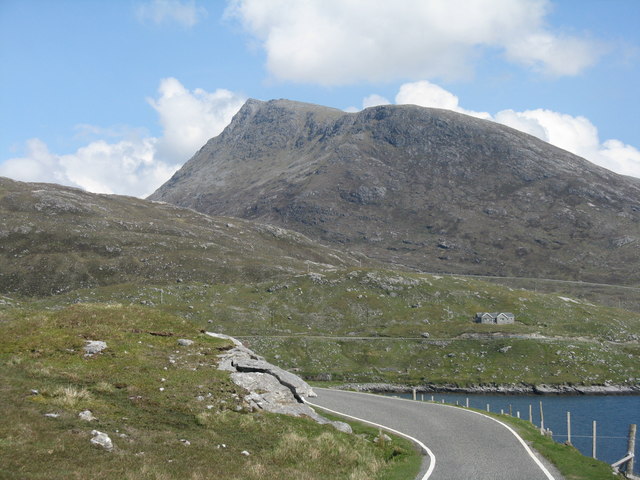
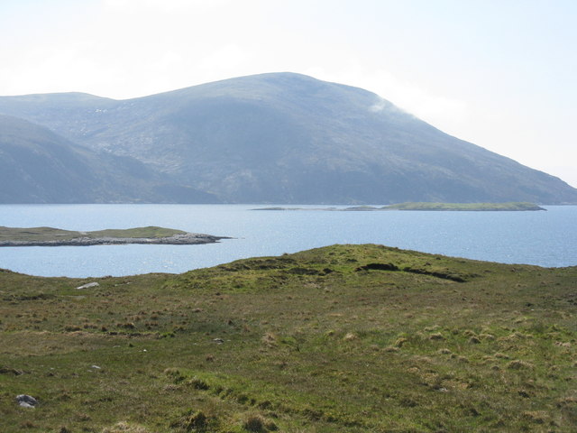
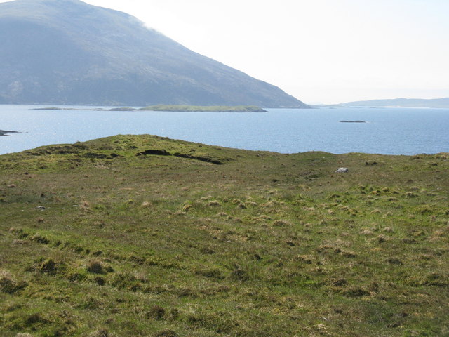
Duisgeir is a small island located in the picturesque region of Inverness-shire, Scotland. Situated off the northwest coast of the mainland, this island is a true gem of natural beauty and tranquility. With a land area of approximately 10 hectares, Duisgeir is a relatively small island yet holds a significant historical and ecological value.
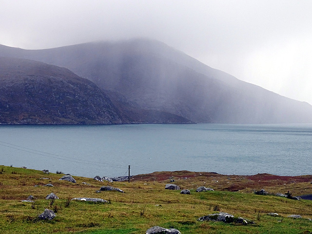
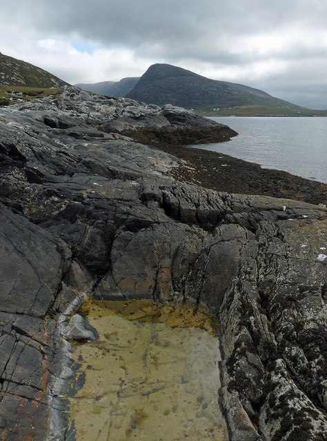
The island is predominantly covered in lush green vegetation, with scattered patches of heather and wildflowers. Its rocky coastline is adorned with picturesque cliffs and hidden coves, providing stunning views of the surrounding sea and distant mountains. The island's landscape is home to a variety of wildlife, including seabirds, otters, and seals, making it a popular destination for nature enthusiasts and birdwatchers.
Steeped in history, Duisgeir boasts ancient ruins and remains of a Pictish fort dating back to the Iron Age. These remnants offer a glimpse into the island's rich heritage and the lives of its ancient inhabitants. Visitors can explore the ruins and gain insight into the island's historical significance.
Access to Duisgeir is typically by boat, with regular ferry services available from nearby towns. The island offers a peaceful retreat for those seeking solitude and a connection with nature. Its serene atmosphere, breathtaking landscapes, and historical significance make it a must-visit destination for travelers exploring the Inverness-shire region.
If you have any feedback on the listing, please let us know in the comments section below.
Duisgeir Images
Images are sourced within 2km of 57.924022/-6.8809739 or Grid Reference NB1103. Thanks to Geograph Open Source API. All images are credited.


Duisgeir is located at Grid Ref: NB1103 (Lat: 57.924022, Lng: -6.8809739)
Unitary Authority: Na h-Eileanan an Iar
Police Authority: Highlands and Islands
What 3 Words
///changed.cuddled.cemented. Near Tarbert, Na h-Eileanan Siar
Nearby Locations
Related Wikis

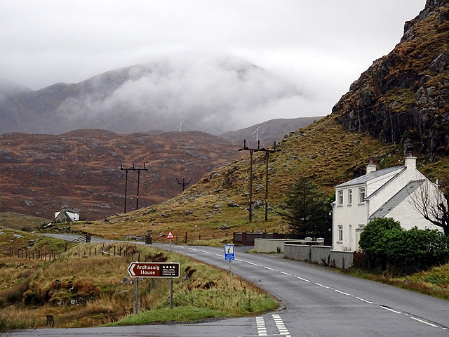
Ardhasaig
Ardhasaig (Scottish Gaelic: Àird Àsaig) is a settlement on the western coast of north Harris, in the Outer Hebrides, Scotland. Ardhasaig is also within...

Bun Abhainn Eadarra
Bun Abhainn Eadarra or Bunavoneadar is a hamlet adjacent to the Loch Bun Abhainn Eadarra, on the south shore of North Harris, in the Outer Hebrides, Scotland...

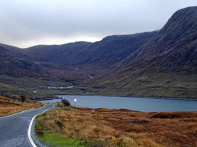
West Loch Tarbert
West Loch Tarbert (Scottish Gaelic: Loch A Siar) is a sea loch that separates the northern and southern parts of Harris in the Outer Hebrides of Scotland...

Harris, Outer Hebrides
Harris (Scottish Gaelic: Na Hearadh, pronounced [nə ˈhɛɾəɣ] ) is the southern and more mountainous part of Lewis and Harris, the largest island in the...
Have you been to Duisgeir?
Leave your review of Duisgeir below (or comments, questions and feedback).