Na Sgeirean Mòra

Island in Argyllshire

Scotland

Na Sgeirean Mòra

Sgeir Fada Very little of the skerry emerges from a neap high water. Another rock nearby was also dry.
Sgeir Fada Credit: Richard Webb

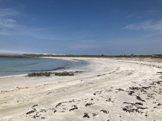
Na Sgeirean Mòra is a small uninhabited island located off the coast of Argyllshire, Scotland. With a total area of approximately 2 hectares, it is part of a group of islands known as the Garvellachs. The name "Na Sgeirean Mòra" translates to "the big skerries" in Gaelic, which accurately describes its rocky and rugged landscape.

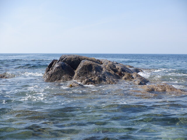
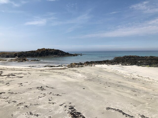
The island is best known for its unique geological formations. It is characterized by towering cliffs and large sea stacks, which were formed through centuries of erosion by the powerful waves of the Atlantic Ocean. These cliffs provide nesting sites for various seabird species, including guillemots, razorbills, and fulmars, making Na Sgeirean Mòra a popular destination for birdwatching enthusiasts.

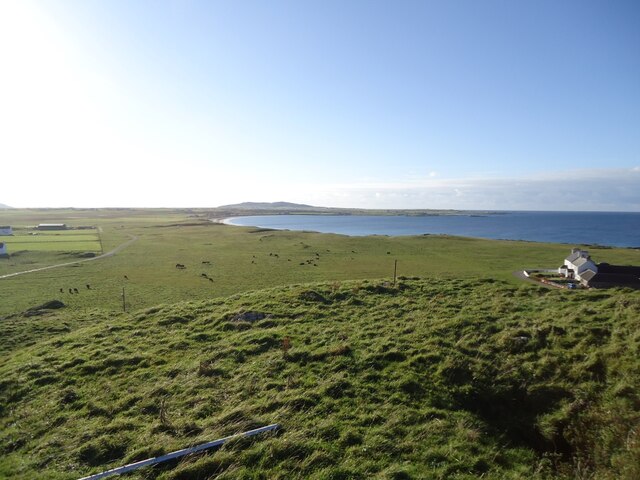
Access to the island is limited due to its remote location and lack of facilities. However, it can be reached by boat from nearby Oban or Mull, with guided tours occasionally organized during the summer months. Visitors are advised to take caution when exploring the island, as its terrain can be treacherous and slippery.

Na Sgeirean Mòra offers a unique opportunity to experience the unspoiled beauty of Scotland's coastline. Its dramatic cliffs, diverse birdlife, and rugged charm make it a must-visit destination for nature lovers and photographers seeking a glimpse into the untamed wilderness of Argyllshire.

If you have any feedback on the listing, please let us know in the comments section below.

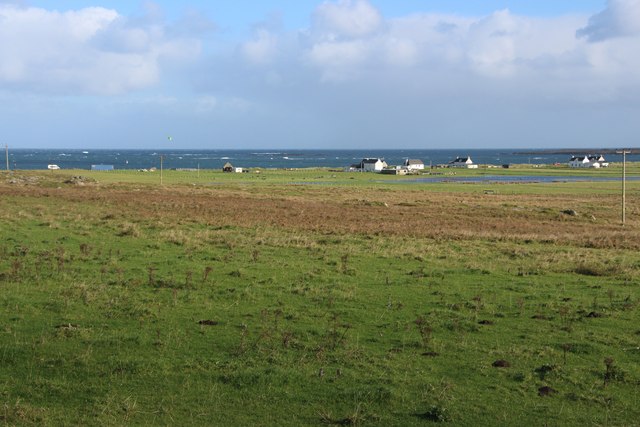
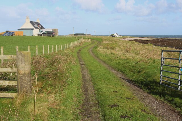
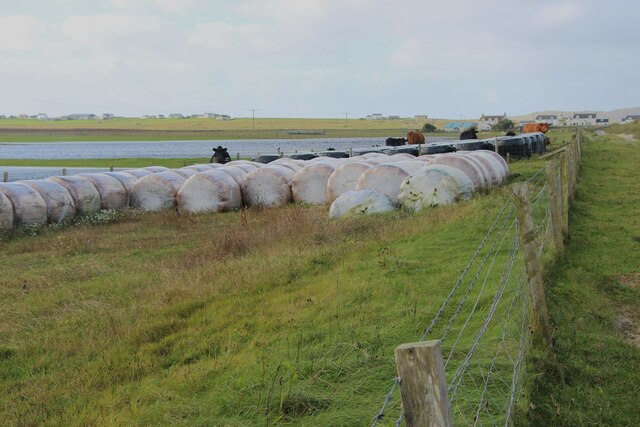
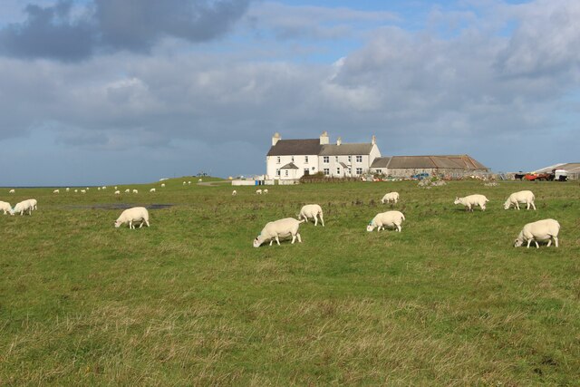
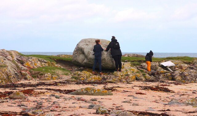
Na Sgeirean Mòra Images

Images are sourced within 2km of 56.532839/-6.8681624 or Grid Reference NM0048. Thanks to Geograph Open Source API. All images are credited.

Sgeir Fada Very little of the skerry emerges from a neap high water. Another rock nearby was also dry.
Sgeir Fada
Very little of the skerry emerges from a neap high water. Another rock nearby was also dry.
Tràigh Bheag East side of Balephetrish Bay, Tiree
Tràigh Bheag
East side of Balephetrish Bay, Tiree
Tràigh Bheag
Tràigh Bheag
From the summit of Balephetrish Hill, Tiree Central and eastern Tiree is very flat, and this hill, though only 36m high, gives an extensive view. In the distance, about 6km away, is Beinn Hough, which at only 119m is the second highest hill on Tiree.
From the summit of Balephetrish Hill, Tiree
Central and eastern Tiree is very flat, and this hill, though only 36m high, gives an extensive view. In the distance, about 6km away, is Beinn Hough, which at only 119m is the second highest hill on Tiree.
Tràigh Bheag, Balephetrish
Port Bàn, Balephetrish
Port Bàn, Balephetrish Got a telling off from the local oystercatchers, there was a lot of activity here, the isolated rock on the left in particular seemed to be a nesting site for several species. Retreat made.
Port Bàn, Balephetrish
Got a telling off from the local oystercatchers, there was a lot of activity here, the isolated rock on the left in particular seemed to be a nesting site for several species. Retreat made.
Houses at Balephetrish Bay
Road to Kenovay Farm and Ard Mor The west side of Balephetrish Bay on Tiree.
Road to Kenovay Farm and Ard Mor
The west side of Balephetrish Bay on Tiree.
Crops harvested and baled at Balephetrish
Balephetrish, a farm on north Tiree
Rough grazing and moor at Aird Chirenis
Barnacle geese over Tiree They may be resting en route to Galloway from Greenland via Iceland. A low flying jet has disturbed these and others.
Barnacle geese over Tiree
They may be resting en route to Galloway from Greenland via Iceland. A low flying jet has disturbed these and others.
Inspecting the Ringing Stone
Natural Arch, Balephetrish Bay, Tiree one of a number of arches at the west end of the bay
Natural Arch, Balephetrish Bay, Tiree
one of a number of arches at the west end of the bay
West coast of Balephetrish Bay A lot of seaweed on this corner of the beach, and very rocky further along.
West coast of Balephetrish Bay
A lot of seaweed on this corner of the beach, and very rocky further along.
Looking north-east from Kennovay Fields running down to Balephetrish Bay.
Looking north-east from Kennovay
Fields running down to Balephetrish Bay.
West end of Balephetrich Bay On the north coast of the Isle of Tiree.
West end of Balephetrich Bay
On the north coast of the Isle of Tiree.
Show me another place!

Na Sgeirean Mòra is located at Grid Ref: NM0048 (Lat: 56.532839, Lng: -6.8681624)

Unitary Authority: Argyll and Bute

Police Authority: Argyll and West Dunbartonshire

What 3 Words

///mild.gear.shackles. Near Scarinish, Argyll & Bute

Related Wikis

Dun Mor Vaul

Dun Mor Vaul (or simply Dun Mor; Scottish Gaelic: Dùn Mòr) is an iron-age broch located on the north coast of the island of Tiree, in Scotland. ��2�...

Tiree

Tiree (; Scottish Gaelic: Tiriodh, pronounced [ˈtʲʰiɾʲəɣ]) is the most westerly island in the Inner Hebrides of Scotland. The low-lying island, southwest...

Tiree Airport

Tiree Airport (Scottish Gaelic: Port-adhair Thiriodh) (IATA: TRE, ICAO: EGPU) is located 2.5 nautical miles (4.6 km; 2.9 mi) north northeast of Balemartine...

Scarinish

Scarinish (Scottish Gaelic: Sgairinis [ˈs̪kaɾʲɪnɪʃ]) is the main village on the island of Tiree, in the Inner Hebrides of Scotland. It is located on the...

Have you been to Na Sgeirean Mòra?

Leave your review of Na Sgeirean Mòra below (or comments, questions and feedback).