Grodhaigh

Island in Inverness-shire

Scotland

Grodhaigh

Grodhaigh, in the Sound of Harris Fish farming off one of the larger islands in the sound. Seen from the ferry to Berneray.
Grodhaigh, in the Sound of Harris Credit: M J Richardson

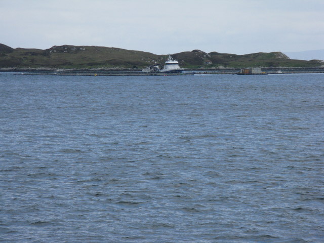
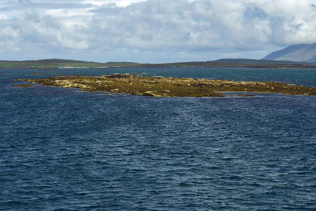
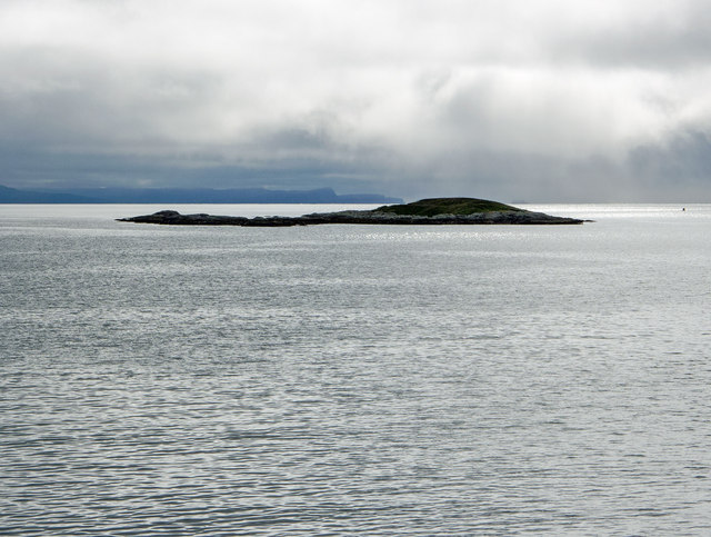
Grodhaigh is a small island located in the Inverness-shire region of Scotland. Situated off the west coast of Scotland, it is part of the Inner Hebrides archipelago. The island covers an area of approximately 4 square miles and has a population of around 150 residents.

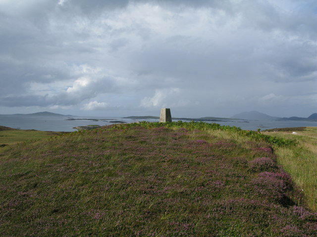
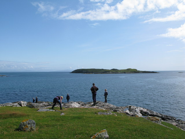
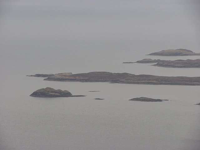
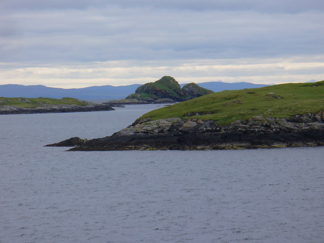
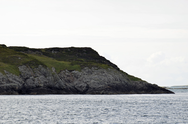
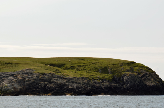
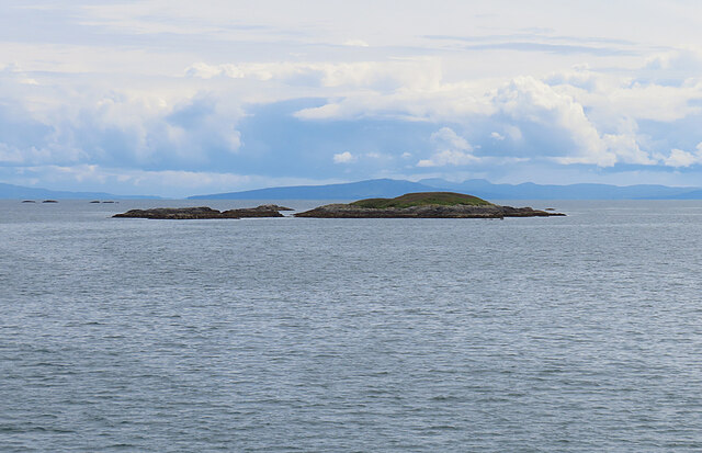
Grodhaigh is known for its rugged and picturesque landscapes, with rolling hills, rocky cliffs, and pristine sandy beaches. The island offers breathtaking views of the surrounding sea and neighboring islands. The weather on the island is typically mild, with temperatures ranging from 10 to 20 degrees Celsius in the summer months and rarely dropping below freezing in the winter.

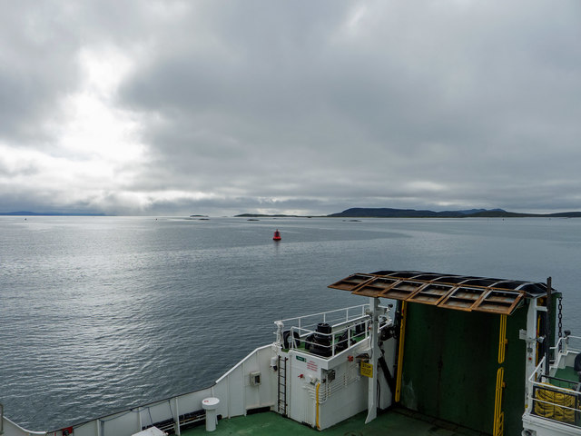
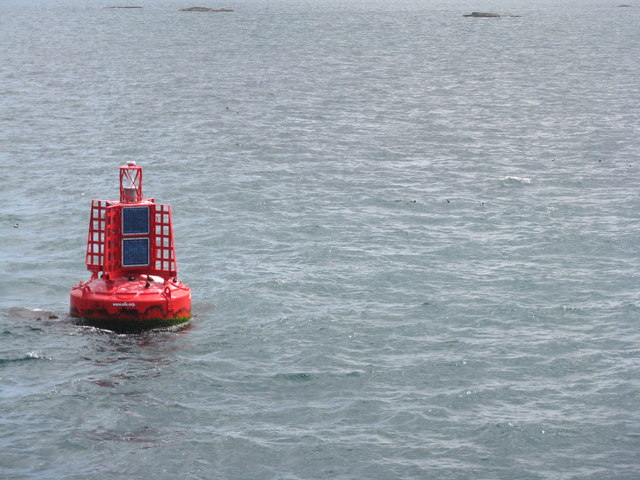
The island is accessible by ferry from the mainland, with regular services connecting it to nearby towns and cities. Grodhaigh has a small harbor that serves both fishing and leisure boats. The island is known for its rich maritime history, with fishing and boat building being important industries in the past.

The island's economy is primarily based on tourism and agriculture. Visitors to Grodhaigh can enjoy a range of outdoor activities, including hiking, bird watching, and fishing. The island also has a few small guesthouses and restaurants, providing accommodation and local cuisine to tourists.

Grodhaigh is home to a close-knit community, with a small primary school, a church, and a community center. The island has a strong sense of community spirit, with various events and festivals held throughout the year, including the annual Highland Games.

Overall, Grodhaigh offers a peaceful and idyllic retreat for nature lovers and those seeking a tranquil island experience.

If you have any feedback on the listing, please let us know in the comments section below.
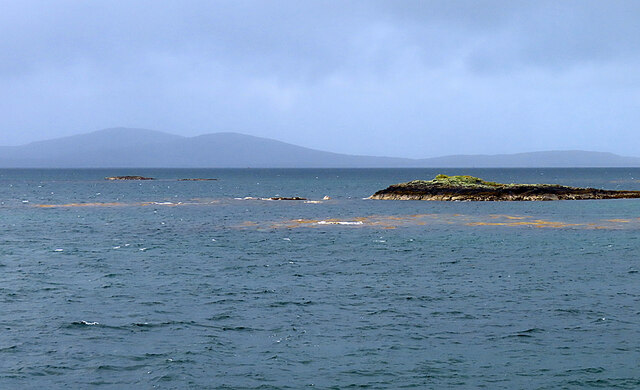
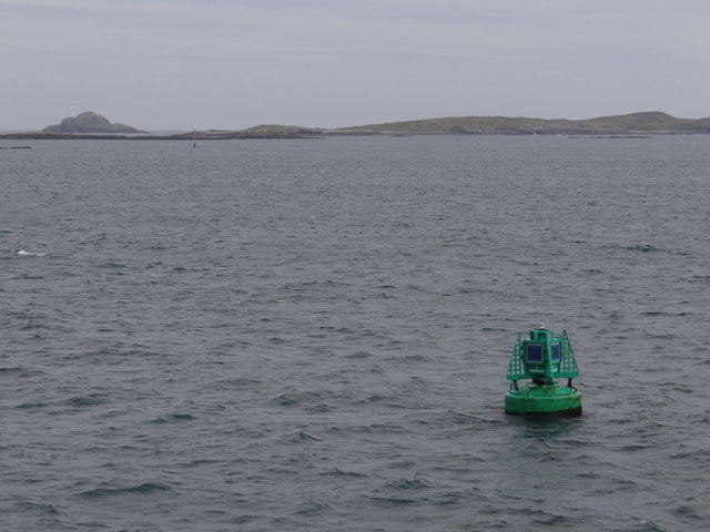
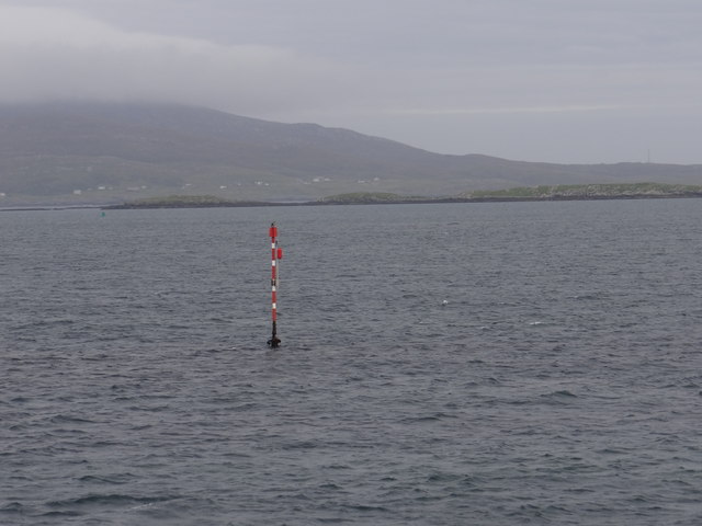
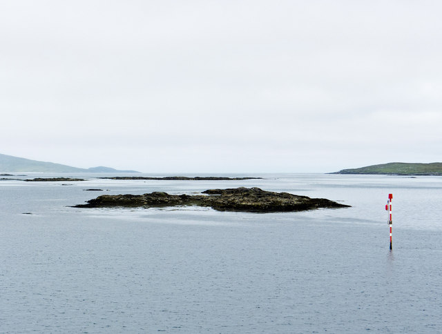
Grodhaigh Images

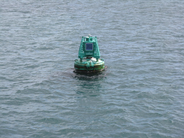
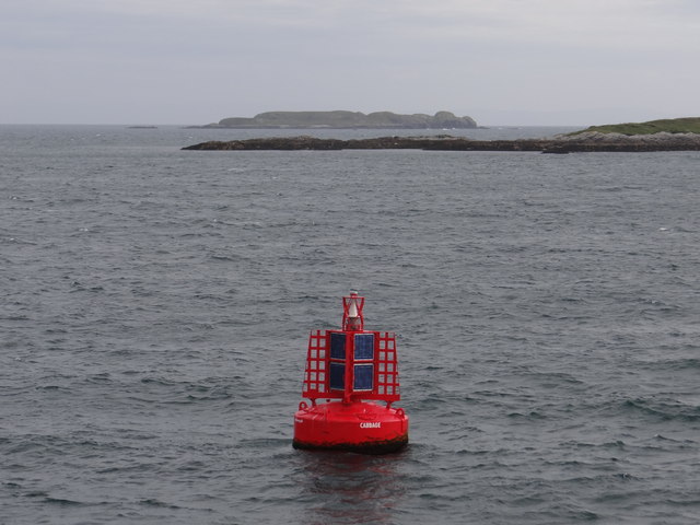
Images are sourced within 2km of 57.703231/-7.0340101 or Grid Reference NG0079. Thanks to Geograph Open Source API. All images are credited.

Grodhaigh, in the Sound of Harris Fish farming off one of the larger islands in the sound. Seen from the ferry to Berneray.
Grodhaigh, in the Sound of Harris
Fish farming off one of the larger islands in the sound. Seen from the ferry to Berneray.
Looking northwest to the trig point on Grodhaigh
South easterly tip of Grodhaigh looking towards Lingeigh
Gilsaigh An island at the eastern side of the Sound of Harris.
Gilsaigh
An island at the eastern side of the Sound of Harris.
Grodhaigh One of the largest of the many islets in the Sound of Harris.
Grodhaigh
One of the largest of the many islets in the Sound of Harris.
Lingeigh The west side of the island.
Lingeigh
The west side of the island.
Sgarabhaigh Sheep grazing on the small island at the east end of the Sound of Harris.
Sgarabhaigh
Sheep grazing on the small island at the east end of the Sound of Harris.
Gousman Only the nearest part of this skerry is in square. In the distance is the Isle of Skye.
Gousman
Only the nearest part of this skerry is in square. In the distance is the Isle of Skye.
Gousman One of the many skerries in the Sound of Harris.
Gousman
One of the many skerries in the Sound of Harris.
L1 Starboard Lateral Buoy This green buoy marks the first of the buoys leading to Leverburgh and is located in the area where the buoyage changes.  Now the green buoys are to starboard when previously, on leaving Berneray, the red buoys were to starboard.  The buoy emits two green flashes every five seconds at night.
L1 Starboard Lateral Buoy
This green buoy marks the first of the buoys leading to Leverburgh and is located in the area where the buoyage changes. Now the green buoys are to starboard when previously, on leaving Berneray, the red buoys were to starboard. The buoy emits two green flashes every five seconds at night.
Sgeir Chruaidh Port Channel Marker Red and white pole which emits a flashing red light every five seconds at night.
Sgeir Chruaidh Port Channel Marker
Red and white pole which emits a flashing red light every five seconds at night.
Marker buoy for the Harris to Berneray ferry Unsure the direction of the image.
Marker buoy for the Harris to Berneray ferry
Unsure the direction of the image.
Buoy L1 off Sgeir Chruaidh In the Sound of Harris en route to Berneray.
Buoy L1 off Sgeir Chruaidh
In the Sound of Harris en route to Berneray.
Sgeir Chruaidh
Sgeir Chruaidh
Cabbage Port Lateral Buoy This red buoy emits two red flashes every six seconds at night. This one also doubles up as a radio beacon and broadcasts a radar pulse with morse code character 'T'. <span class="nowrap"><a title="https://en.wikipedia.org/wiki/Racon" rel="nofollow ugc noopener" href="https://en.wikipedia.org/wiki/Racon">Link</a><img style="margin-left:2px;" alt="External link" title="External link - shift click to open in new window" src="https://s1.geograph.org.uk/img/external.png" width="10" height="10"/></span>
Cabbage Port Lateral Buoy
This red buoy emits two red flashes every six seconds at night. This one also doubles up as a radio beacon and broadcasts a radar pulse with morse code character 'T'. LinkExternal link
Near Gousman in the Sound of Harris Taken from Loch Portain, the ferry that operates between Harris and Berneray.  Skye is the dominant landmass in the distance.
Near Gousman in the Sound of Harris
Taken from Loch Portain, the ferry that operates between Harris and Berneray. Skye is the dominant landmass in the distance.
The Loch Portain on its final straight course to Berneray The track of the vessel is displayed in the accommodation area of the ship.  It follows a tortuous route before the straight finale into Berneray.  There are many shallows in the Sound of Harris and revised timetables operate at times of extreme low tides.  (I have a GPS track of the route on the September 7 1130ish sailing for anybody interested!)
The Loch Portain on its final straight course to Berneray
The track of the vessel is displayed in the accommodation area of the ship. It follows a tortuous route before the straight finale into Berneray. There are many shallows in the Sound of Harris and revised timetables operate at times of extreme low tides. (I have a GPS track of the route on the September 7 1130ish sailing for anybody interested!)
CABBAGE buoy in the Sound of Harris Looking south to four skerries between Gousman and Sgeir Sine.
CABBAGE buoy in the Sound of Harris
Looking south to four skerries between Gousman and Sgeir Sine.
Show me another place!

Grodhaigh is located at Grid Ref: NG0079 (Lat: 57.703231, Lng: -7.0340101)

Unitary Authority: Na h-Eileanan an Iar

Police Authority: Highlands and Islands

What 3 Words

///painted.replaces.signature. Near Leverburgh, Na h-Eileanan Siar

Nearby Locations

Grodhaigh Vatem

Related Wikis

Sgarabhaigh

Sgarabhaigh (formerly anglicised Scaravay) is a small uninhabited island in the eastern end of the Sound of Harris, Outer Hebrides, Scotland. It is approximately...

South Lewis, Harris and North Uist National Scenic Area

South Lewis, Harris and North Uist is a large national scenic area (NSA) in the Western Isles of Scotland. It is one of 40 such areas in Scotland, which...

Killegray

Killegray is an island in the Sound of Harris in the Outer Hebrides of Scotland. == Geography == Situated in the Sound of Harris, a channel of water between...

Hermetray

Hermetray (Scottish Gaelic: Theàrnatraigh) is an uninhabited island off North Uist, in the Outer Hebrides of Scotland. == Geography and geology == Hermetray...

Nearby Amenities

Located within 500m of 57.703231,-7.0340101
Source: PGS
Lat/Long: 57.7053361/-7.0298621
Source: PGS
Lat/Long: 57.7061679/-7.030903
Source: PGS
Lat/Long: 57.706366/-7.0308758
Source: PGS
Lat/Long: 57.7064696/-7.0307992
Source: PGS
Lat/Long: 57.7070969/-7.0314443
Source: PGS
Lat/Long: 57.7072496/-7.0314692
Source: PGS
Lat/Long: 57.7069596/-7.0298192
Source: PGS
Lat/Long: 57.7061896/-7.0293792
Source: PGS
Lat/Long: 57.7056696/-7.0291692
The data included in this document is from www.openstreetmap.org. The data is made available under ODbL.

Have you been to Grodhaigh?

Leave your review of Grodhaigh below (or comments, questions and feedback).