Sgeir Ghlas Leac an Aiseig

Island in Ross-shire

Scotland

Sgeir Ghlas Leac an Aiseig

Slipway and winch at Camas Mol Linnis The slipway is very steep and the winch must have made all the difference.
Slipway and winch at Camas Mol Linnis Credit: Sandy Gerrard

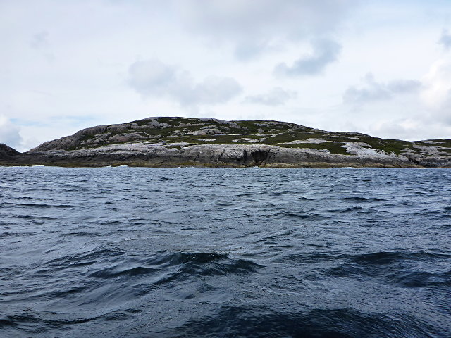
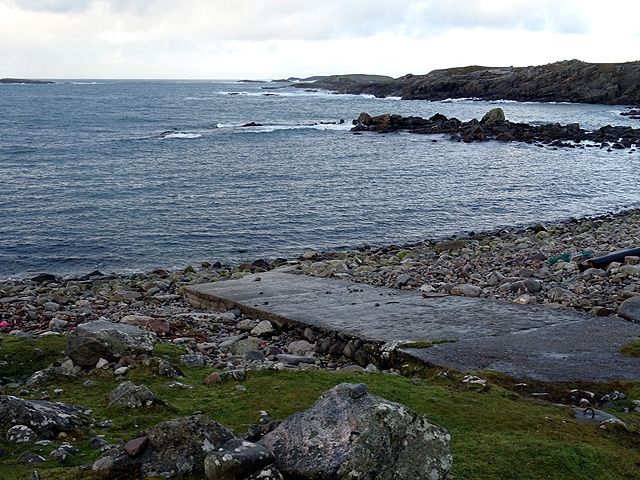
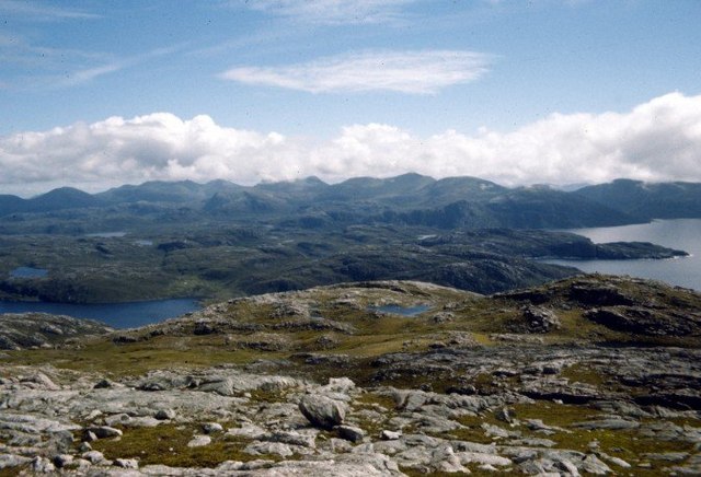
Sgeir Ghlas Leac an Aiseig, also known as the Green Rock of the Ferry, is a small island located off the coast of Ross-shire, Scotland. It is situated in the picturesque waters of the Inner Sound, approximately 1.5 kilometers southwest of the village of Aultbea.

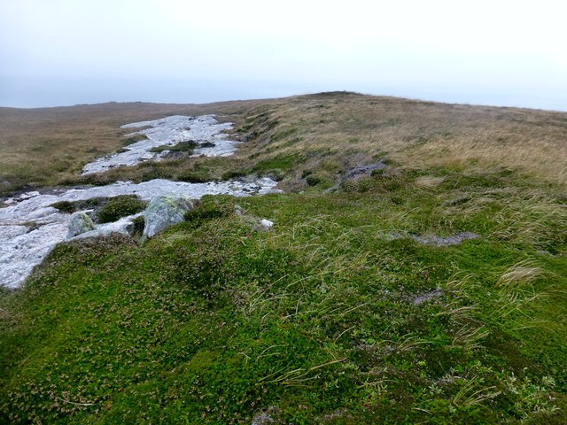
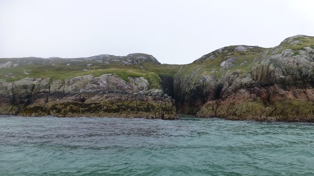
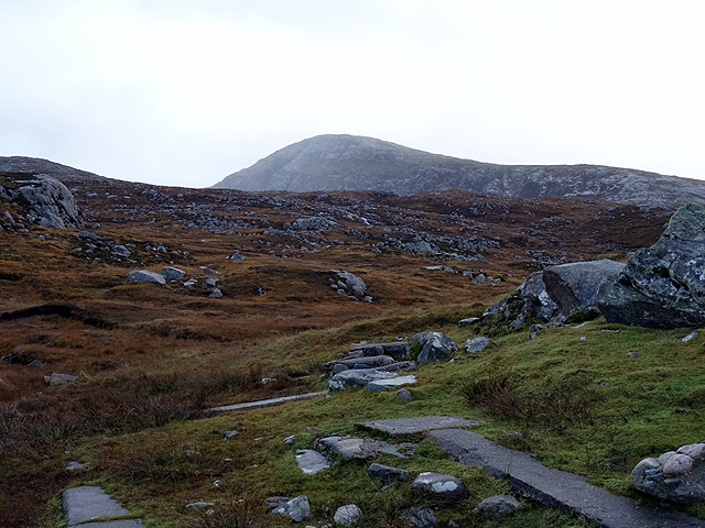
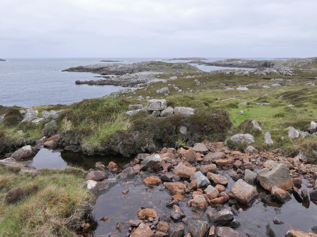
This uninhabited island is a natural wonder, renowned for its unique rock formations and abundant wildlife. It is a haven for birdwatchers, as it is home to a variety of seabird species, including guillemots, razorbills, and puffins. The island's rugged cliffs provide ideal nesting sites for these birds, making it a popular destination for ornithologists and nature enthusiasts.

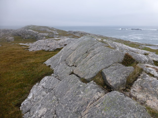
Sgeir Ghlas Leac an Aiseig is also known for its distinctive geological features. The island is predominantly composed of ancient Lewisian gneiss, a type of metamorphic rock that dates back billions of years. The gneiss formations on the island are characterized by their intricate patterns and beautiful colors, ranging from pale greens to deep blues.

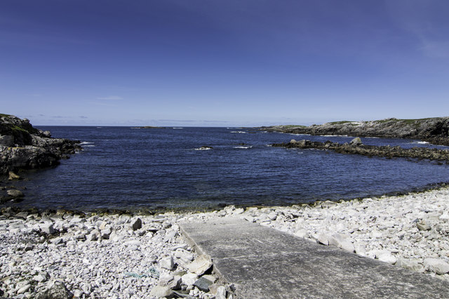
Access to Sgeir Ghlas Leac an Aiseig is possible via boat or kayak, with nearby Aultbea serving as a convenient starting point for visitors. While the island itself does not offer any amenities or facilities, its natural beauty and peaceful atmosphere make it an ideal spot for a day trip or a picnic.

Overall, Sgeir Ghlas Leac an Aiseig is a stunning island in Ross-shire, offering visitors a chance to immerse themselves in nature and witness the wonders of Scotland's coastal landscape.

If you have any feedback on the listing, please let us know in the comments section below.

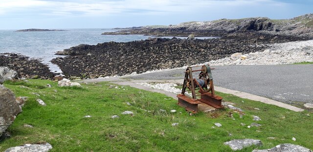
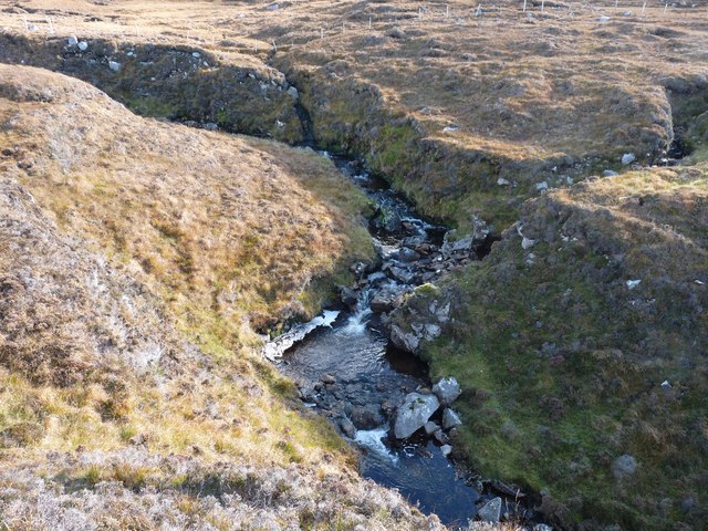
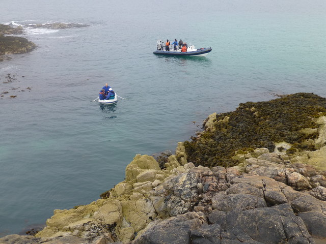
Sgeir Ghlas Leac an Aiseig Images

Images are sourced within 2km of 58.080565/-7.1024833 or Grid Reference NA9921. Thanks to Geograph Open Source API. All images are credited.

Slipway and winch at Camas Mol Linnis The slipway is very steep and the winch must have made all the difference.
Slipway and winch at Camas Mol Linnis
The slipway is very steep and the winch must have made all the difference.
Moorland opposite Eilean Mhealasta
Abhainn Ruadh Tumbling from the western slopes of the Lewis mountains towards the Atlantic
Abhainn Ruadh
Tumbling from the western slopes of the Lewis mountains towards the Atlantic
Eilean Mhealasta Landing on the island of Eilean Mhealasta towards the end of a busy day bagging hills around Loch Resort by RIB. This landing point is just north of a lovely sandy beach.
Eilean Mhealasta
Landing on the island of Eilean Mhealasta towards the end of a busy day bagging hills around Loch Resort by RIB. This landing point is just north of a lovely sandy beach.
Eilean Mhealasta Coastal view on the north end of Eilean Mhealasta.
Eilean Mhealasta
Coastal view on the north end of Eilean Mhealasta.
Druim na Sgatha Bagging the high point of Eilean Mealasta by RIB with eight other island baggers.
Name: Druim na Sgatha
Hill number: 104561
Height: 77m / 253ft
Area: 24A: Lewis and Nearby Islands
Class: 0
Grid ref: NA977212 (est)
Drop: 77m
Col: Sea
Druim na Sgatha
Bagging the high point of Eilean Mealasta by RIB with eight other island baggers. Name: Druim na Sgatha Hill number: 104561 Height: 77m / 253ft Area: 24A: Lewis and Nearby Islands Class: 0 Grid ref: NA977212 (est) Drop: 77m Col: Sea
Eastern Coast Of Eilean Mealasta A rocky inlet on the eastern side of the island of Eilean Mealasta to the west of Lewis.
Eastern Coast Of Eilean Mealasta
A rocky inlet on the eastern side of the island of Eilean Mealasta to the west of Lewis.
Slip into Camas Mol Linis
Sgeir Ghlas na Roinne This is the southernmost tip of Mealasta Island
Sgeir Ghlas na Roinne
This is the southernmost tip of Mealasta Island
Rubha Leacach Southwest corner of Mealasta Island
Rubha Leacach
Southwest corner of Mealasta Island
The end of the road from Uig The road on the west side of Lewis ends at this remote jetty with a view out over Camas Mol Linnis. The map carries a name Totarol nearby but I'm unable to establish to what that refers.
The end of the road from Uig
The road on the west side of Lewis ends at this remote jetty with a view out over Camas Mol Linnis. The map carries a name Totarol nearby but I'm unable to establish to what that refers.
At the end of the road south of Mealasta Remains of concrete structures suggest busier times here in the past at this very remote location. The distant peak appears to be Naideabhal a Staigh <a href="https://www.geograph.org.uk/gridref/NB012235">NB012235</a>.
At the end of the road south of Mealasta
Remains of concrete structures suggest busier times here in the past at this very remote location. The distant peak appears to be Naideabhal a Staigh NB012235.
Site of horizontal mill on the Abhainn Ruadh, Isle of Lewis The pile of stone blocks in the centre of the photo on the other side of the stream are remains of the mill.  It is shown as a ruin on the 1st Edition OS map surveyed in 1852-53.
Site of horizontal mill on the Abhainn Ruadh, Isle of Lewis
The pile of stone blocks in the centre of the photo on the other side of the stream are remains of the mill. It is shown as a ruin on the 1st Edition OS map surveyed in 1852-53.
Summit of Gromabhal On horizon 92km away is St Kilda
Summit of Gromabhal
On horizon 92km away is St Kilda
The "end of the road" at Camas Mol Linnis slipway Is this the longest cul-de-sac in the UK ? It's about 46km from NB236318 Garynahine.
The "end of the road" at Camas Mol Linnis slipway
Is this the longest cul-de-sac in the UK ? It's about 46km from NB236318 Garynahine.
View over the summit plateau of Griomabhal From the worn-down gneiss platform of Griomaval (which was how it was spelt on the OS map when we climbed it in 1974), the hills of South Harris are laid out in all their splendour (when you can see them).
View over the summit plateau of Griomabhal
From the worn-down gneiss platform of Griomaval (which was how it was spelt on the OS map when we climbed it in 1974), the hills of South Harris are laid out in all their splendour (when you can see them).
Stream gully in the Hebrides The rough moorland alongside the stream that flows down from Dubh Loch in Glen Tealasdale, on the way to Griomabhal, which can be seen in the distance. It is not easy countryside to walk over.
Stream gully in the Hebrides
The rough moorland alongside the stream that flows down from Dubh Loch in Glen Tealasdale, on the way to Griomabhal, which can be seen in the distance. It is not easy countryside to walk over.
View to Scarp from the Island of Liongam
Show me another place!

Sgeir Ghlas Leac an Aiseig is located at Grid Ref: NA9921 (Lat: 58.080565, Lng: -7.1024833)

Unitary Authority: Na h-Eileanan an Iar

Police Authority: Highlands and Islands

What 3 Words

///pencils.eggshell.amaze. Near Tarbert, Na h-Eileanan Siar

Related Wikis

Eilean Mhealasta

Eilean Mhealasta (Mealista Island) is an uninhabited island off the west coast of Lewis in the Outer Hebrides of Scotland. It takes its name from Mealista...

Mealista

Mealista (Scottish Gaelic: Mealasta) was a township in the west of the Isle of Lewis. It is currently largely uninhabited due to the Highland Clearances...

Game pieces of the Lewis chessmen hoard

Game pieces of the Lewis chessmen hoard include the ninety-three game pieces of the Lewis chessmen hoard found on the Isle of Lewis in the Outer Hebrides...

Brenish

Brenish (Scottish Gaelic: Brèinis) is a small village situated on the west coast of the Isle of Lewis, which is part of the Outer Hebrides of Scotland...

Have you been to Sgeir Ghlas Leac an Aiseig?

Leave your review of Sgeir Ghlas Leac an Aiseig below (or comments, questions and feedback).