Tiree
Island in Argyllshire
Scotland
Tiree
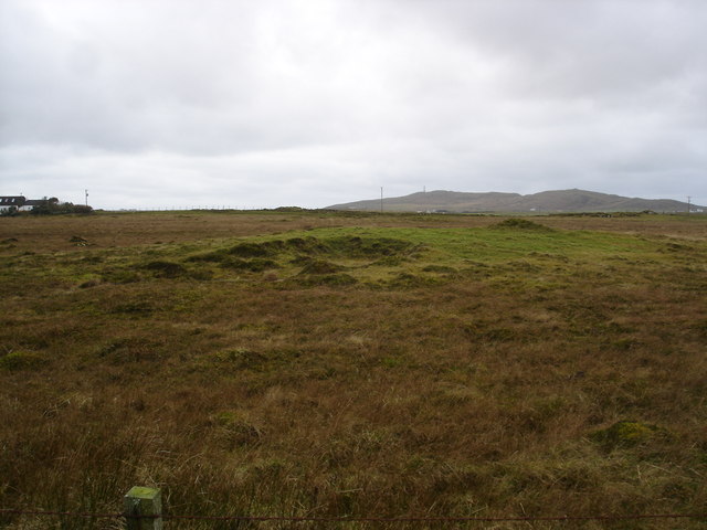
Tiree is a small island located in Argyllshire, Scotland. It is the westernmost island in the Inner Hebrides and is situated approximately four hours by ferry from Oban. Covering an area of around 30 square miles, Tiree is known for its stunning beaches, clear turquoise waters, and abundant wildlife.
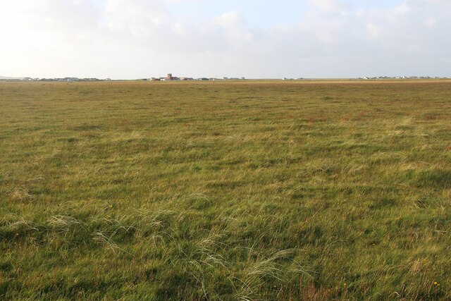
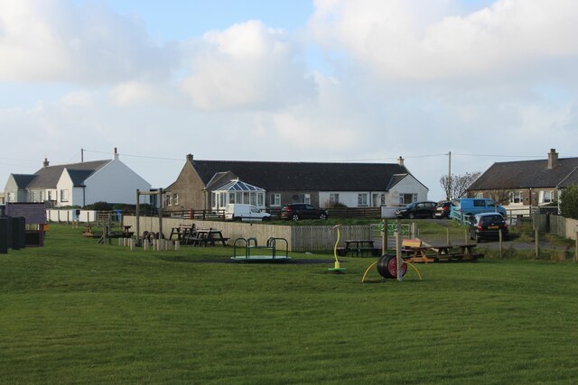
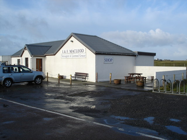
The island has a population of around 650 people and is characterized by its flat and fertile landscape, making it ideal for agriculture. The main industries on Tiree are crofting, fishing, and tourism. The island is famous for its high-quality beef and lamb, produced from the rich grassland.
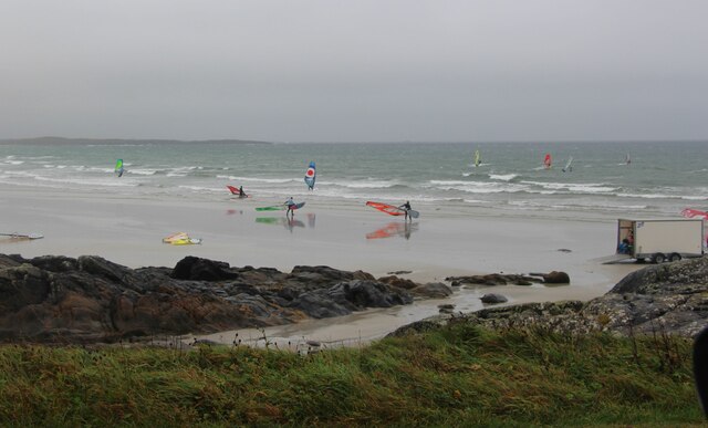
Tiree boasts some of the most picturesque beaches in Scotland, with pristine white sand stretching for miles and offering breathtaking views of the surrounding islands. The island is a haven for water sports enthusiasts, particularly windsurfers and kitesurfers, who come from all over the world to take advantage of the consistent winds and perfect conditions.
In terms of wildlife, Tiree is home to a wide variety of species, including seals, dolphins, and a vast array of birdlife. The island is a designated Special Protection Area due to its importance as a nesting ground for various seabirds.
Visitors to Tiree can explore the island by foot or bicycle, taking in its tranquil beauty and enjoying the peaceful atmosphere. The island also offers a range of accommodation options, from self-catered cottages to bed and breakfasts, providing a warm and friendly welcome to all who visit.
If you have any feedback on the listing, please let us know in the comments section below.
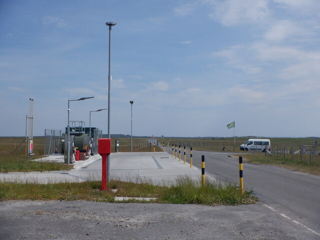
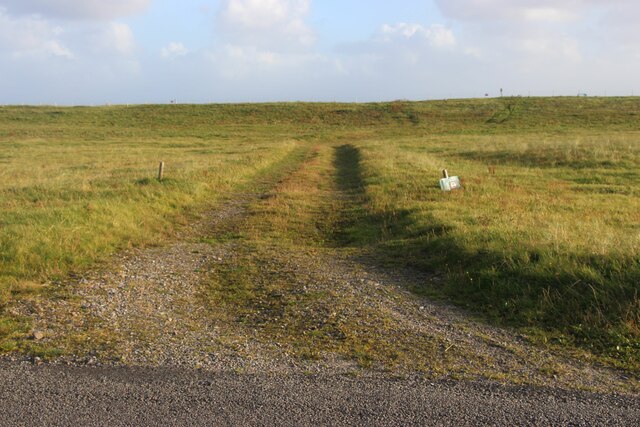
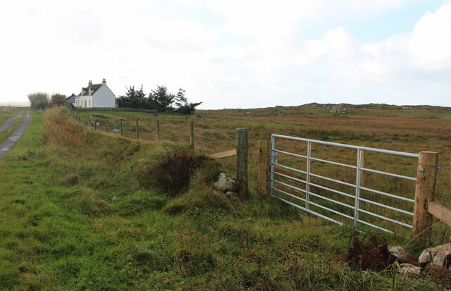
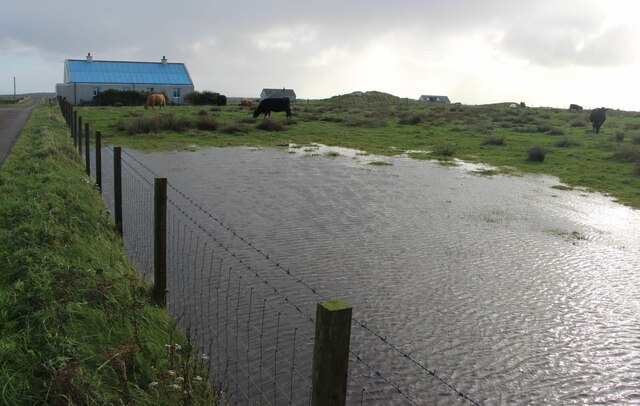
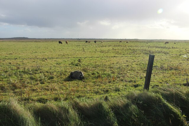
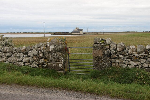
Tiree Images
Images are sourced within 2km of 56.496107/-6.8921042 or Grid Reference NL9944. Thanks to Geograph Open Source API. All images are credited.


Tiree is located at Grid Ref: NL9944 (Lat: 56.496107, Lng: -6.8921042)
Unitary Authority: Argyll and Bute
Police Authority: Argyll and West Dunbartonshire
What 3 Words
///intent.splice.camcorder. Near Scarinish, Argyll & Bute
Nearby Locations
Related Wikis

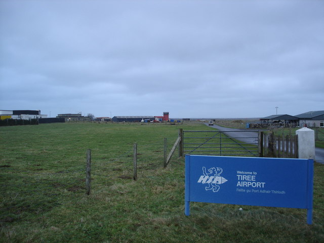
Tiree Airport
Tiree Airport (Scottish Gaelic: Port-adhair Thiriodh) (IATA: TRE, ICAO: EGPU) is located 2.5 nautical miles (4.6 km; 2.9 mi) north northeast of Balemartine...

Tiree Music Festival
Tiree Music Festival is a Scottish folk music festival held annually on the Island of Tiree in the Inner Hebrides. The festival was founded in 2010 by...

Mannal
Mannal is a coastal hamlet on the west side of Hynish Bay, on the island of Tiree, Scotland. The township of Mannal lies on the southwest corner of Tiree...

Tiree
Tiree (; Scottish Gaelic: Tiriodh, pronounced [ˈtʲʰiɾʲəɣ]) is the most westerly island in the Inner Hebrides of Scotland. The low-lying island, southwest...
Nearby Amenities
Located within 500m of 56.496107,-6.8921042Have you been to Tiree?
Leave your review of Tiree below (or comments, questions and feedback).