Santamana Ledges
Island in Cornwall
England
Santamana Ledges

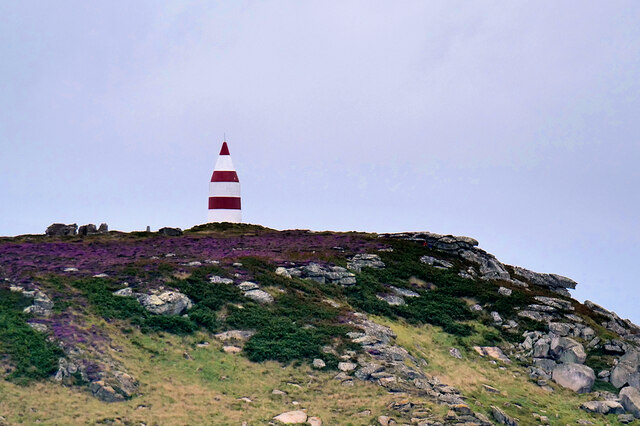
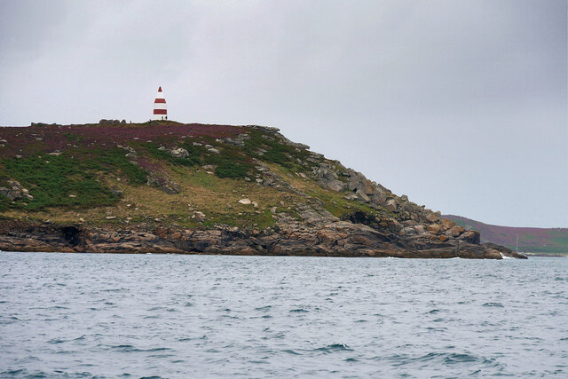
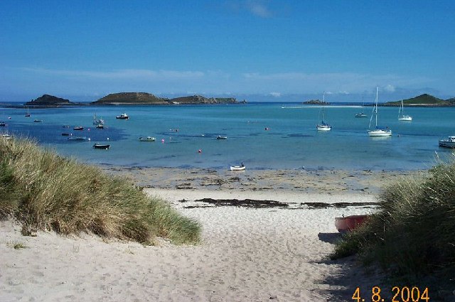
Santamana Ledges is a picturesque island located off the coast of Cornwall in southwestern England. It is known for its breathtaking natural beauty and rugged cliffs, making it a popular destination for nature enthusiasts and outdoor adventurers.
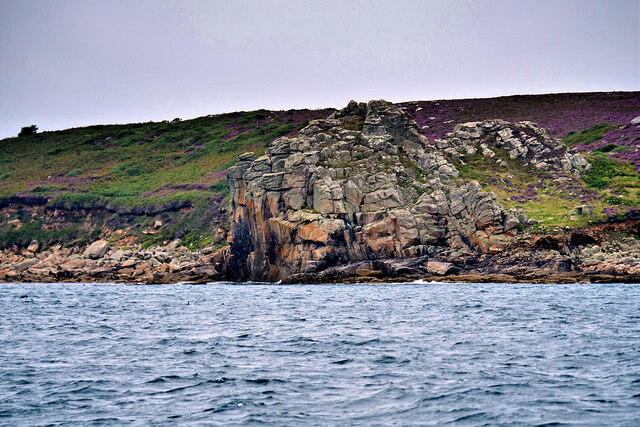
The island is accessible via boat or ferry from the mainland and offers visitors a unique and secluded experience. The towering cliffs, which reach up to 200 feet in some areas, provide stunning panoramic views of the surrounding sea and coastline. These cliffs are a haven for birdwatchers, as they are home to a variety of seabirds including puffins, gannets, and cormorants.
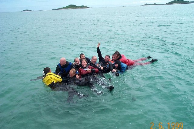
Santamana Ledges is also known for its diverse marine life, making it a hotspot for snorkeling and scuba diving. The crystal-clear waters surrounding the island are teeming with colorful fish, kelp forests, and even the occasional seal or dolphin sighting.
For those who prefer to stay on land, the island offers several hiking trails that wind through its lush greenery and lead to hidden coves and secluded beaches. These sandy shores provide a perfect spot for picnicking or simply basking in the sun.
Although Santamana Ledges is largely undeveloped, there are a few quaint cottages available for rent, allowing visitors to fully immerse themselves in the island's tranquility and natural beauty.
Overall, Santamana Ledges is a true gem of Cornwall, offering visitors a chance to escape the hustle and bustle of everyday life and reconnect with nature in a truly spectacular setting.
If you have any feedback on the listing, please let us know in the comments section below.
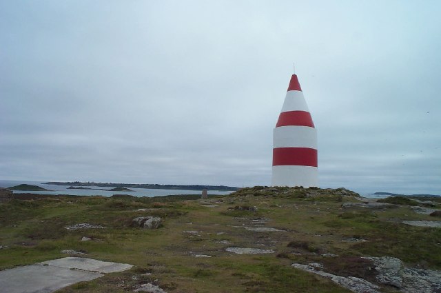
Santamana Ledges Images
Images are sourced within 2km of 49.96865/-6.2780579 or Grid Reference SV9316. Thanks to Geograph Open Source API. All images are credited.


Santamana Ledges is located at Grid Ref: SV9316 (Lat: 49.96865, Lng: -6.2780579)
Division: Isles of Scilly
Unitary Authority: Isles of Scilly
Police Authority: Devon and Cornwall
What 3 Words
///upwards.elevates.motion. Near St Martin's, Isles of Scilly
Nearby Locations
Related Wikis

St Martin's Church, St Martin's
St Martin's Church, St Martin's is a Grade II listed parish church in the Church of England located in St Martin's, Isles of Scilly, UK. == History... ==

St Martin's, Isles of Scilly
St Martin's (Cornish: Brechiek, lit. 'dappled island') is the northernmost populated island of the Isles of Scilly, England, United Kingdom. It has an...

Higher Town, Isles of Scilly
Higher Town (Cornish: Trewartha) is the easternmost and largest settlement on the island of St Martin's in the Isles of Scilly, England. It is situated...

St Martin's Methodist Church, Isles of Scilly
The Methodist Church, St Martin's, Isles of Scilly is a Grade II listed chapel in St Martin's, Isles of Scilly. == History == Bible Christians arrived...

Middle Town, St Martin's
Middle Town (Cornish: Tregres) is a small settlement on the island of St Martin's in the Isles of Scilly, England. It is situated slightly inland, approximately...

White Island, Isles of Scilly
White Island (Cornish: Ar Nor, "facing the mainland" or Enys Wynn "white island" ) is one of the larger unpopulated islands of the Isles of Scilly, part...

Lower Town, Isles of Scilly
Lower Town (Cornish: Trewoles) is the westernmost settlement on the island of St Martin's in the Isles of Scilly, England. One of the island's two quays...

PS Earl of Arran (1860)
PS Earl of Arran was a passenger vessel operated by the Ardrossan Steamboat Company from 1860 to 1871 and the West Cornwall Steam Ship Company from 1871...
Related Videos

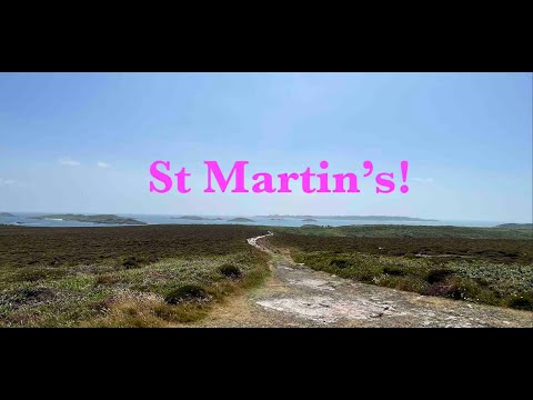
St Martins - Isles of Scilly BEAUTIFUL
St Martins - Isles of Scilly BEAUTIFUL Filmed and Edited by Paul Dinning - Wildlife in Cornwall Original Music Written and ...
Whelmed: The One with St Martin's
My day trip to St Martin's on the Isles of Scilly in England.
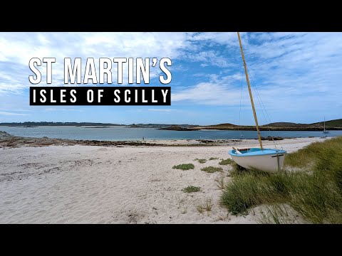
St Martins - Scilly Isles - A 4K video tour
St Martin's is the most northeasterly and third largest of the main Scilly Isles. In this short video I take a walk more or less from end ...
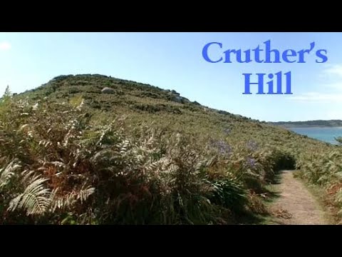
Cruther's Hill
Cruther's Hill is a hill near Higher Town on St Martin's, Isles of Scilly. From on top of the hill, there are views of St Mary's, Tresco ...
Nearby Amenities
Located within 500m of 49.96865,-6.2780579Have you been to Santamana Ledges?
Leave your review of Santamana Ledges below (or comments, questions and feedback).