Crump Island
Island in Cornwall
England
Crump Island
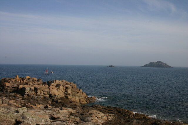
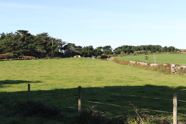
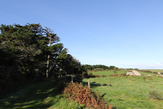
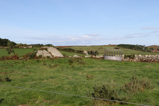
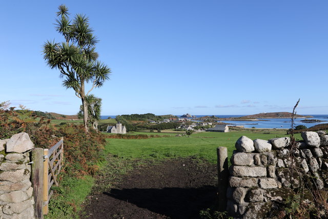
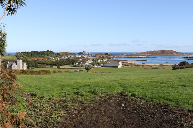
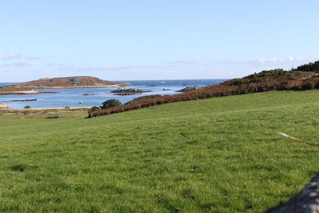
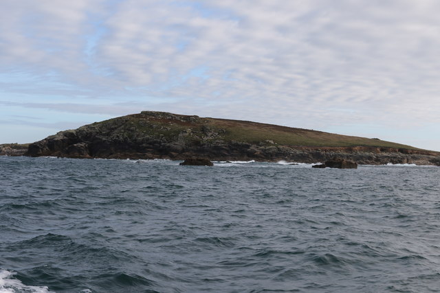
Crump Island is a small island located off the coast of Cornwall, England. Situated in the Atlantic Ocean, it is part of the Isles of Scilly archipelago. The island covers an area of about 2 hectares and is primarily made up of rocky terrain with sparse vegetation.
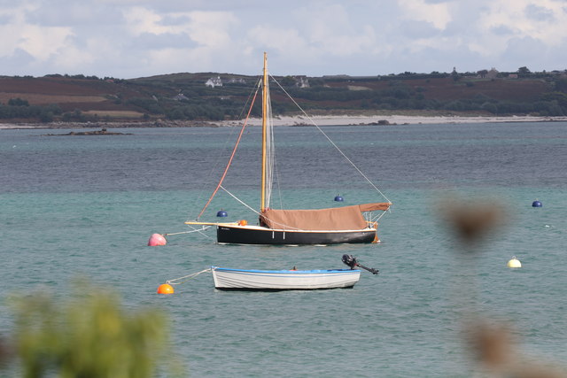
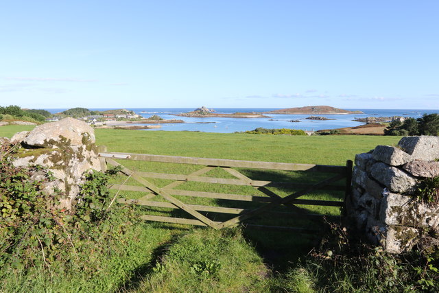
Crump Island is uninhabited and offers a serene and untouched natural environment for visitors. The coastline is rugged, with cliffs and rocky outcrops, providing stunning views of the surrounding sea. The island is also home to a variety of seabirds, making it a popular spot for birdwatchers and nature enthusiasts.
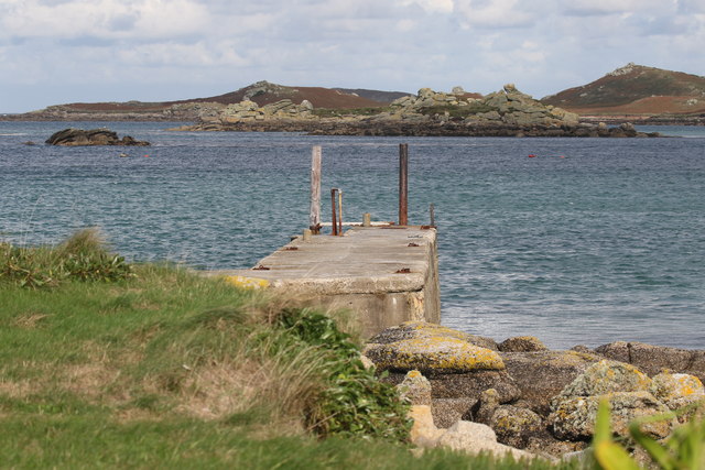
Access to Crump Island is limited, as there are no regular ferry services or scheduled visits. However, adventurous visitors can arrange private boat trips or kayaking excursions to explore the island and its surroundings. It is important to note that the island is privately owned, so visitors should obtain permission before setting foot on its shores.
The isolation and tranquility of Crump Island make it an idyllic getaway for those seeking a peaceful retreat. Its untouched beauty and natural charm attract photographers, artists, and those looking to immerse themselves in nature. It is advisable to bring supplies and pack appropriate outdoor gear, as there are no facilities or amenities available on the island.
In summary, Crump Island is a small, uninhabited island off the coast of Cornwall, offering a rugged and untouched natural environment. Its rocky coastline, diverse seabird population, and secluded atmosphere make it a haven for nature enthusiasts and those seeking solitude amidst the beauty of the Atlantic Ocean.
If you have any feedback on the listing, please let us know in the comments section below.
Crump Island Images
Images are sourced within 2km of 49.964182/-6.3085312 or Grid Reference SV9116. Thanks to Geograph Open Source API. All images are credited.


Crump Island is located at Grid Ref: SV9116 (Lat: 49.964182, Lng: -6.3085312)
Division: Isles of Scilly
Unitary Authority: Isles of Scilly
Police Authority: Devon and Cornwall
What 3 Words
///furniture.doted.scope. Near St Martin's, Isles of Scilly
Nearby Locations
Related Wikis

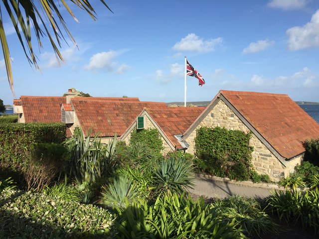
Lower Town, Isles of Scilly
Lower Town (Cornish: Trewoles) is the westernmost settlement on the island of St Martin's in the Isles of Scilly, England. One of the island's two quays...

Teän
Teän ( TEE-ən, sometimes written Tean without the diaeresis; Cornish: Enys Tian) is an uninhabited island to the north of the Isles of Scilly archipelago...

Middle Town, St Martin's
Middle Town (Cornish: Tregres) is a small settlement on the island of St Martin's in the Isles of Scilly, England. It is situated slightly inland, approximately...

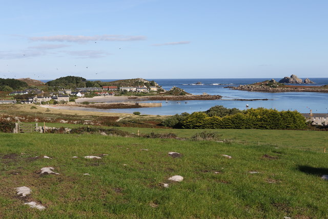
St Martin's, Isles of Scilly
St Martin's (Cornish: Brechiek, lit. 'dappled island') is the northernmost populated island of the Isles of Scilly, England, United Kingdom. It has an...

Old Blockhouse
The Old Blockhouse, also known as the Dover Fort, is a 16th-century fortification on the island of Tresco in the Isles of Scilly. It was built between...

St Helen's, Isles of Scilly
St Helen's (Cornish: Enys Elyd or Enys Elidius) is one of the fifty or so uninhabited islands in the archipelago of the Isles of Scilly and has an approximate...

St Martin's Church, St Martin's
St Martin's Church, St Martin's is a Grade II listed parish church in the Church of England located in St Martin's, Isles of Scilly, UK. == History... ==

St Martin's Methodist Church, Isles of Scilly
The Methodist Church, St Martin's, Isles of Scilly is a Grade II listed chapel in St Martin's, Isles of Scilly. == History == Bible Christians arrived...
Nearby Amenities
Located within 500m of 49.964182,-6.3085312Have you been to Crump Island?
Leave your review of Crump Island below (or comments, questions and feedback).