Porth Seal

Bay in Cornwall

England

Porth Seal

Lower Town Quay The smaller of the two quays on St Martin’s. The larger quay at Higher Town is the one used for freight deliveries, but is inaccessible at a low tide.

The island behind is the uninhabited Tean (pronounced tea-an).
Lower Town Quay Credit: David Lally

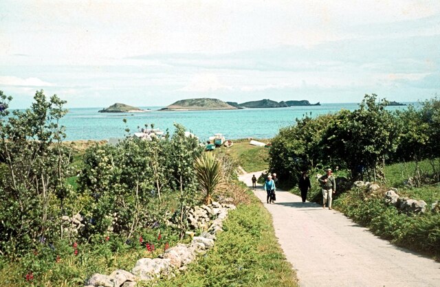
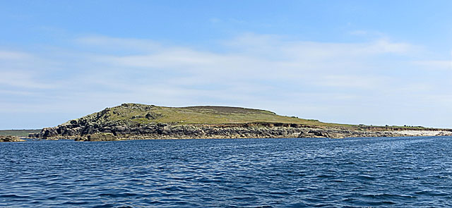
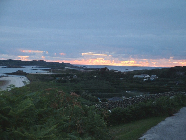
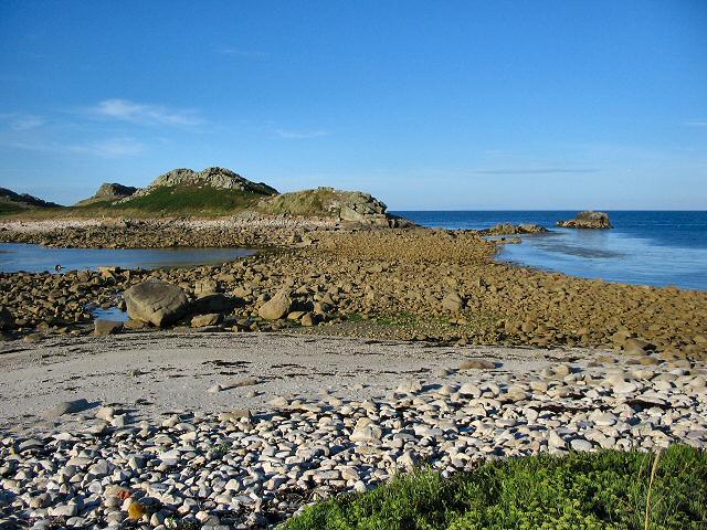
Porth Seal is a picturesque bay located in Cornwall, England. It is situated on the southern coast of the country and is known for its stunning natural beauty and pristine sandy beach. The bay is nestled between towering cliffs, providing a dramatic backdrop to the turquoise waters of the Celtic Sea.

The beach at Porth Seal is a popular destination for both tourists and locals alike. Its soft golden sands stretch for approximately half a mile and offer ample space for sunbathing and beach activities. The gently sloping beach makes it ideal for families with children, as the shallow waters allow for safe swimming and paddling.

Porth Seal is also a haven for water sports enthusiasts. The bay's clear waters are perfect for activities such as surfing, kayaking, and paddleboarding. The consistent waves attract surfers of all levels, from beginners to experts, and the local surf schools offer lessons for those looking to try their hand at riding the waves.

The bay is flanked by rugged cliffs, which provide excellent opportunities for coastal walks and hikes. Visitors can enjoy breathtaking views of the bay and the surrounding coastline as they explore the scenic trails. Wildlife lovers will also appreciate the diverse marine life that can be spotted in the bay, including seals and dolphins.

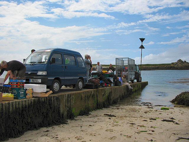
Porth Seal offers a range of amenities and facilities to cater to visitors' needs. There are car parks nearby, as well as cafes, restaurants, and shops in close proximity. The bay is easily accessible by road and is a short distance from the nearby town of Newquay.

Overall, Porth Seal is a stunning bay that combines natural beauty, recreational opportunities, and a charming coastal atmosphere, making it a must-visit destination for those exploring Cornwall.

If you have any feedback on the listing, please let us know in the comments section below.
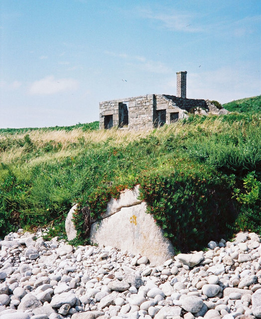
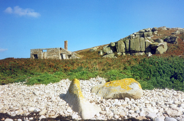
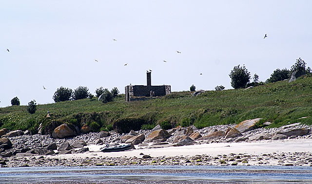
Porth Seal Images

Images are sourced within 2km of 49.970434/-6.2991431 or Grid Reference SV9116. Thanks to Geograph Open Source API. All images are credited.

Lower Town Quay The smaller of the two quays on St Martin’s. The larger quay at Higher Town is the one used for freight deliveries, but is inaccessible at a low tide.

The island behind is the uninhabited Tean (pronounced tea-an).
Lower Town Quay
The smaller of the two quays on St Martin’s. The larger quay at Higher Town is the one used for freight deliveries, but is inaccessible at a low tide. The island behind is the uninhabited Tean (pronounced tea-an).
Great Bay panorama On of the most beautiful spots on the islands.
Great Bay panorama
On of the most beautiful spots on the islands.
Higher Town Quay, St Martin's, Scilly Also known as New Quay - but it's new only in a relative sense! Out to sea is the unmistakable conical shape of Hanjague, one of the Eastern Isles.
Higher Town Quay, St Martin's, Scilly
Also known as New Quay - but it's new only in a relative sense! Out to sea is the unmistakable conical shape of Hanjague, one of the Eastern Isles.
The road to Higher Town, St Martin's, Scilly Day trippers are faced with a bit of a climb up from the Quay but the view will be worth it. Across Higher Town Bay are the Eastern Isles of Nornour & Great Ganilly.
The road to Higher Town, St Martin's, Scilly
Day trippers are faced with a bit of a climb up from the Quay but the view will be worth it. Across Higher Town Bay are the Eastern Isles of Nornour & Great Ganilly.
The Pest House, St Helen's An 18th century quarantine station for plague victims from passing ships who were isolated on this small island to await their fate. <span class="nowrap"><a title="https://en.wikipedia.org/wiki/St_Helen%27s,_Isles_of_Scilly" rel="nofollow ugc noopener" href="https://en.wikipedia.org/wiki/St_Helen%27s,_Isles_of_Scilly">Link</a><img style="margin-left:2px;" alt="External link" title="External link - shift click to open in new window" src="https://s1.geograph.org.uk/img/external.png" width="10" height="10"/></span>
The Pest House, St Helen's
An 18th century quarantine station for plague victims from passing ships who were isolated on this small island to await their fate. LinkExternal link
St Helen's Pest House The small quarantine shelter where sailors infected with the plague were marooned. A small graveyard is nearby which kind of tells its own story.
St Helen's Pest House
The small quarantine shelter where sailors infected with the plague were marooned. A small graveyard is nearby which kind of tells its own story.
The remains of the Pest House on St Helen's St Helens was the site of a quarantine house for plague built in 1764. Today, this is the only building now visible on the island from the sea, although there are also the remains of the priory and hermitage.
The remains of the Pest House on St Helen's
St Helens was the site of a quarantine house for plague built in 1764. Today, this is the only building now visible on the island from the sea, although there are also the remains of the priory and hermitage.
St Helen's from the North St Helen's is a low-lying island unlike some of the rocky islands further west and east. It is the home of several seabirds, but not in the numbers on the rockier islands
St Helen's from the North
St Helen's is a low-lying island unlike some of the rocky islands further west and east. It is the home of several seabirds, but not in the numbers on the rockier islands
St Martins The beautiful St Martin's Bay
St Martins
The beautiful St Martin's Bay
Lower Town, St. Martin's Looking SW, Tresco in distance
Lower Town, St. Martin's
Looking SW, Tresco in distance
Middle Town - St Martin's, Scilly The westerly view from Middle Town. Tresco on the horizon.
Middle Town - St Martin's, Scilly
The westerly view from Middle Town. Tresco on the horizon.
St Martin's - Scillies The high street of Middle Town, St Martin's.
St Martin's - Scillies
The high street of Middle Town, St Martin's.
Sunset on St Martins looking westward
Looking out from gardens of Seven Stones pub View looking south from the pub
Looking out from gardens of Seven Stones pub
View looking south from the pub
St Martin's coastal path, looking towards Great Bay
St Martin's bay from Scilly point This is a beautiful beach of white sand.
St Martin's bay from Scilly point
This is a beautiful beach of white sand.
The tidal causeway to White Island, Scilly White Island is a part of St Martin's. This is the only land based way onto the island.
The tidal causeway to White Island, Scilly
White Island is a part of St Martin's. This is the only land based way onto the island.
Lower Town quay, St Martin's - Scilly A small quay - but very well used for loading and unloading all the things that are essential for island life.
Lower Town quay, St Martin's - Scilly
A small quay - but very well used for loading and unloading all the things that are essential for island life.
Show me another place!

Porth Seal is located at Grid Ref: SV9116 (Lat: 49.970434, Lng: -6.2991431)

Division: Isles of Scilly

Unitary Authority: Isles of Scilly

Police Authority: Devon and Cornwall

What 3 Words

///carpentry.drew.deeper. Near St Martin's, Isles of Scilly

Related Wikis

Middle Town, St Martin's

Middle Town (Cornish: Tregres) is a small settlement on the island of St Martin's in the Isles of Scilly, England. It is situated slightly inland, approximately...

Lower Town, Isles of Scilly

Lower Town (Cornish: Trewoles) is the westernmost settlement on the island of St Martin's in the Isles of Scilly, England. One of the island's two quays...

Teän

Teän ( TEE-ən, sometimes written Tean without the diaeresis; Cornish: Enys Tian) is an uninhabited island to the north of the Isles of Scilly archipelago...

St Martin's, Isles of Scilly

St Martin's (Cornish: Brechiek, lit. 'dappled island') is the northernmost populated island of the Isles of Scilly, England, United Kingdom. It has an...

Nearby Amenities

Located within 500m of 49.970434,-6.2991431
Tinkler's Hill
Natural: peak
Lat/Long: 49.9677439/-6.3002919
Source: PGS
Lat/Long: 49.9709854/-6.2925103
Source: PGS
Lat/Long: 49.9703985/-6.2923327
Pub
Seven Stones
Addr Country: GB
Addr Hamlet: St Mary's
Addr Housename: Seven Stones Inn
Addr Postcode: TR25 0QW
Addr State: Isles Of Scilly
Addr Suburb: Lower Town
Email: sevenstonesinn@gmail.com
Fhrs Id: 780844
Phone: +44 1720 423777
Website: https://www.visitislesofscilly.com/food-drink/places-eat-drink/st-martins/seven-stones-inn
Lat/Long: 49.9663992/-6.3010705
Top Rock Hill
Natural: peak
Lat/Long: 49.9721537/-6.2949656
The data included in this document is from www.openstreetmap.org. The data is made available under ODbL.

Have you been to Porth Seal?

Leave your review of Porth Seal below (or comments, questions and feedback).