Linton
Settlement in Northumberland
England
Linton

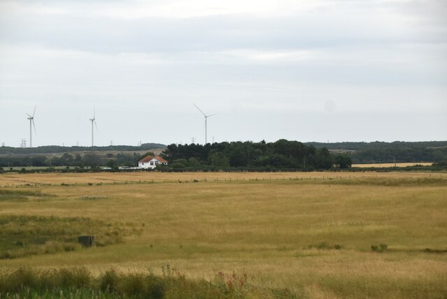
Linton is a picturesque village located in the county of Northumberland, England. Situated in the heart of the Northumberland National Park, it is surrounded by stunning natural beauty and offers a tranquil escape from the hustle and bustle of city life.
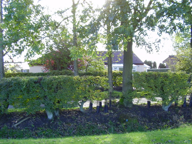
The village is known for its charming stone cottages, many of which date back to the 18th century, giving it a distinct and traditional character. Nestled along the banks of the River Breamish, Linton offers breathtaking views of the rolling hills and lush green landscapes that define the region.
Despite its small size, Linton boasts a strong sense of community and a range of amenities for residents and visitors. The village is home to a quaint local pub, which serves as a popular gathering spot for locals and tourists alike. Additionally, there is a village hall that hosts various events and activities throughout the year, fostering a sense of togetherness among the residents.
For outdoor enthusiasts, Linton provides an ideal base for exploring the Northumberland National Park. The area offers numerous walking and cycling trails, allowing visitors to fully immerse themselves in the beauty of the surrounding countryside. Additionally, the nearby Breamish Valley is a popular spot for fishing and birdwatching, attracting nature enthusiasts from far and wide.
In summary, Linton is a charming village in Northumberland that offers a peaceful retreat and a gateway to the natural wonders of the Northumberland National Park. Its idyllic setting, sense of community, and range of outdoor activities make it a truly special place to visit or call home.
If you have any feedback on the listing, please let us know in the comments section below.
Linton Images
Images are sourced within 2km of 55.213868/-1.5906799 or Grid Reference NZ2691. Thanks to Geograph Open Source API. All images are credited.


Linton is located at Grid Ref: NZ2691 (Lat: 55.213868, Lng: -1.5906799)
Unitary Authority: Northumberland
Police Authority: Northumbria
What 3 Words
///floating.removable.tables. Near Cresswell, Northumberland
Nearby Locations
Related Wikis

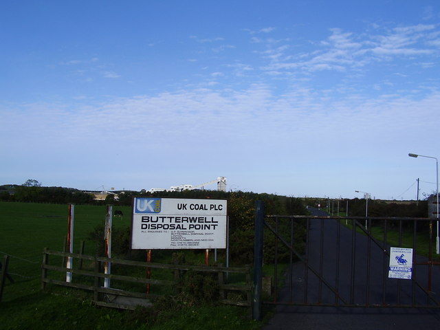
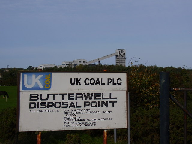
Ellington, Northumberland
Ellington is a small village in the civil parish of Ellington and Linton, on the coast of Northumberland, England. Ellington is 4 miles (6 km) from Ashington...

A1068 road
The A1068 is a road in northern England that runs from Seaton Burn in North Tyneside to Alnwick in Northumberland. The section between Ellington and Alnmouth...

Ellington Colliery
Ellington Colliery (also known as The Big E), was a coal mine situated to the south of the village of Ellington in Northumberland, England. The colliery...

Longhirst railway station
Longhirst railway station served the village of Longhirst, Morpeth, England from 1847 to 1964 on the East Coast Main Line. == History == The station was...
Nearby Amenities
Located within 500m of 55.213868,-1.5906799Have you been to Linton?
Leave your review of Linton below (or comments, questions and feedback).