Old Man
Island in Cornwall
England
Old Man
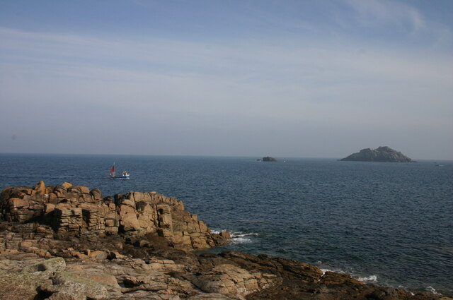
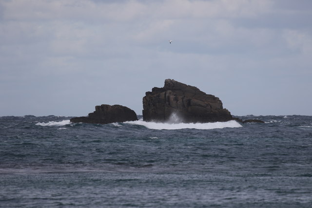
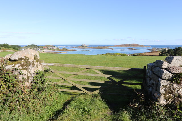
Old Man, Cornwall, also known as The Old Man of Cornwall, is a distinctive offshore rock formation located off the southern coast of Cornwall, England. Situated approximately 500 meters from the mainland, this natural wonder is a prominent feature of the coastline and a popular tourist attraction.
The Old Man is a towering granite stack that stands at an impressive height of around 20 meters, resembling the figure of an old man when viewed from certain angles. Its rugged and weathered appearance adds to its allure and mystique. The rock formation has been shaped over centuries by the relentless forces of the sea, wind, and weathering, resulting in its unique and recognizable form.
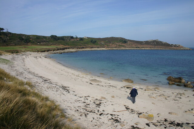
Access to the Old Man is dependent on tidal conditions, as during high tide, the stack becomes completely surrounded by water. However, during low tide, a causeway is exposed, allowing visitors to walk across to the rock formation. This provides an up-close and personal experience with the Old Man, enabling visitors to appreciate its grandeur and marvel at its intricate geological features.
The Old Man, Cornwall, is not only a visual spectacle but also a site of ecological importance. The rock formation provides a habitat for various seabirds, including gulls and cormorants, which nest and roost on its ledges. It is also home to a diverse range of marine life, with rock pools around its base teeming with small fish, crabs, and other marine organisms.
Overall, the Old Man, Cornwall, stands as a remarkable natural landmark, showcasing the power and beauty of nature. Its unique appearance and ecological significance make it a must-visit destination for nature enthusiasts and tourists exploring the stunning coastline of Cornwall.
If you have any feedback on the listing, please let us know in the comments section below.
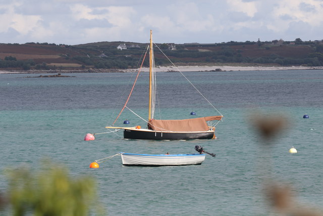
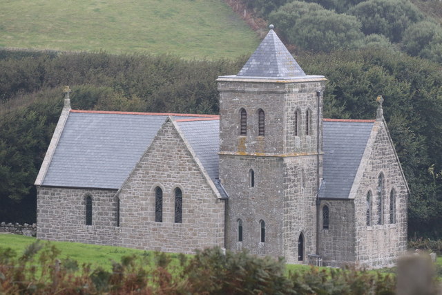
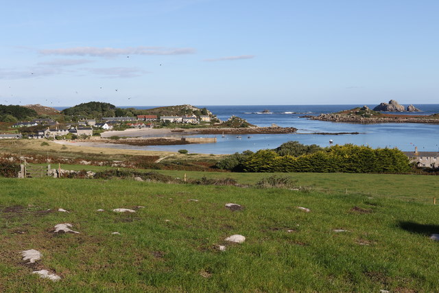
Old Man Images
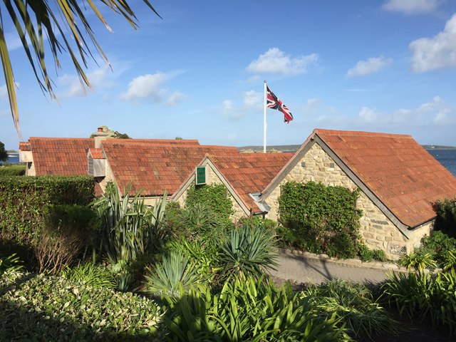
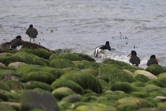
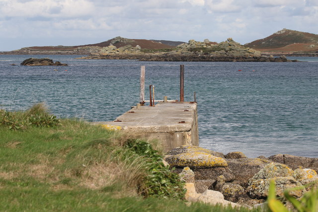
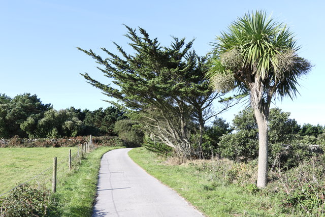
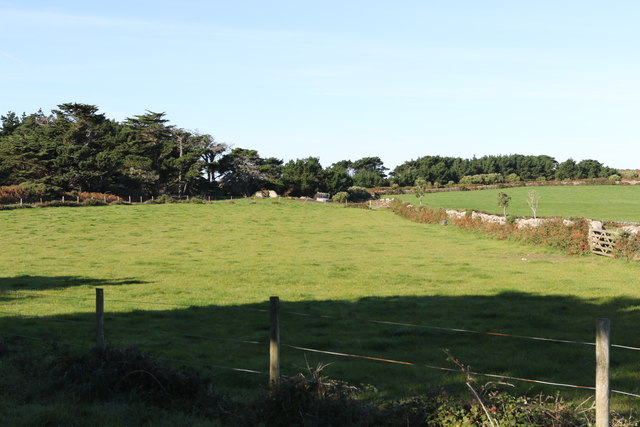
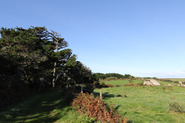
Images are sourced within 2km of 49.966204/-6.3170542 or Grid Reference SV9016. Thanks to Geograph Open Source API. All images are credited.

Old Man is located at Grid Ref: SV9016 (Lat: 49.966204, Lng: -6.3170542)
Division: Isles of Scilly
Unitary Authority: Isles of Scilly
Police Authority: Devon and Cornwall
What 3 Words
///compiler.cares.modem. Near Tresco, Isles of Scilly
Nearby Locations
Related Wikis

Teän
Teän ( TEE-ən, sometimes written Tean without the diaeresis; Cornish: Enys Tian) is an uninhabited island to the north of the Isles of Scilly archipelago...

St Helen's, Isles of Scilly
St Helen's (Cornish: Enys Elyd or Enys Elidius) is one of the fifty or so uninhabited islands in the archipelago of the Isles of Scilly and has an approximate...

Lower Town, Isles of Scilly
Lower Town (Cornish: Trewoles) is the westernmost settlement on the island of St Martin's in the Isles of Scilly, England. One of the island's two quays...

Old Blockhouse
The Old Blockhouse, also known as the Dover Fort, is a 16th-century fortification on the island of Tresco in the Isles of Scilly. It was built between...
Nearby Amenities
Located within 500m of 49.966204,-6.3170542Have you been to Old Man?
Leave your review of Old Man below (or comments, questions and feedback).