Direy Dhubh
Island in Inverness-shire
Scotland
Direy Dhubh
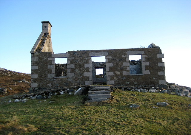
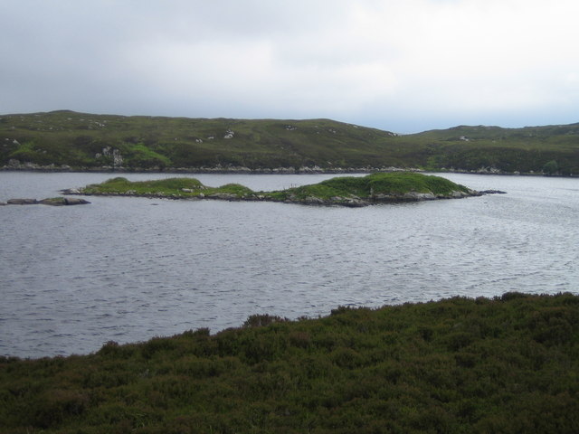
Located in the Scottish Highlands, Direy Dhubh is a small island in Inverness-shire known for its rugged beauty and remote location. The island is uninhabited, with only a few dilapidated buildings scattered across its rocky terrain. Direy Dhubh is surrounded by the waters of Loch Ness, adding to its mystique and allure.
Visitors to Direy Dhubh can enjoy stunning views of the surrounding landscape, including the rolling hills of Inverness-shire and the dark waters of Loch Ness. The island is a popular destination for hikers and nature enthusiasts looking to explore the wild and untamed beauty of the Scottish Highlands.
Despite its remote location, Direy Dhubh is easily accessible by boat from nearby Inverness. The island offers a peaceful retreat from the hustle and bustle of city life, with plenty of opportunities for outdoor activities such as hiking, birdwatching, and photography.
Overall, Direy Dhubh is a hidden gem in the Scottish Highlands, offering visitors a chance to experience the rugged beauty and tranquility of this remote island paradise.
If you have any feedback on the listing, please let us know in the comments section below.
Direy Dhubh Images
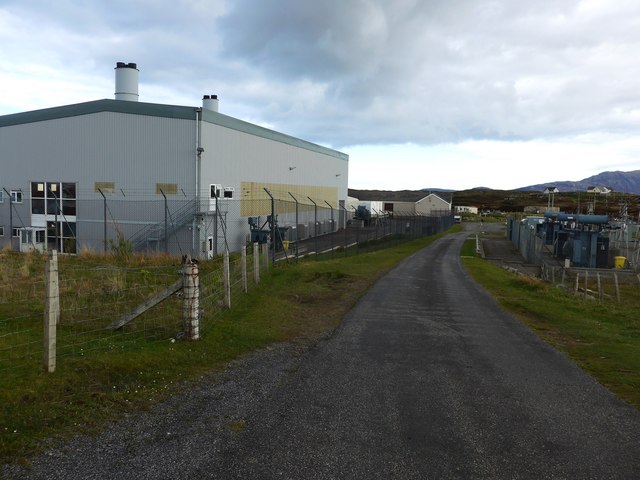
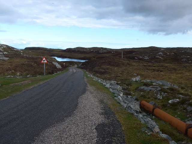
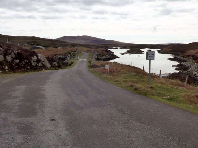
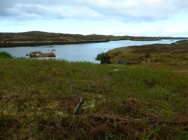
Images are sourced within 2km of 57.348907/-7.2616678 or Grid Reference NF8340. Thanks to Geograph Open Source API. All images are credited.

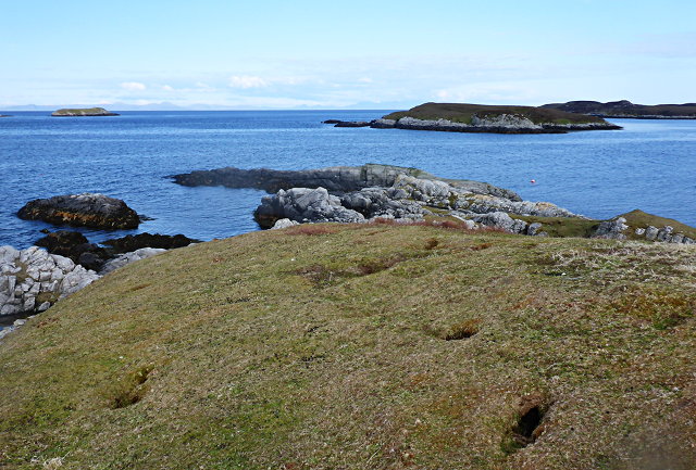
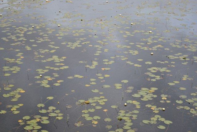
![Thin Loch near Tholmair. Just one of the hundreds of lochs on South Uist. This one is only just above sea level and seems to be named as &#039;Caslub&#039;. [shown on OS map]](https://s2.geograph.org.uk/photos/50/57/505742_d779d3c0.jpg)
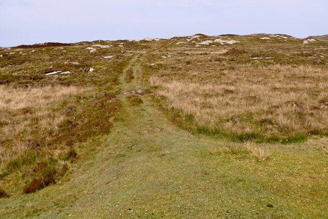
![Path to Loch Sgiopoirt This path leads towards some now abandoned crofting communities on the shores of Loch Sgiopoirt [Loch Skipport]. There was once a school, to which one family sent 13 children. Now this is a very quiet corner of South Uist.](https://s1.geograph.org.uk/photos/50/57/505745_7299b097.jpg)
Direy Dhubh is located at Grid Ref: NF8340 (Lat: 57.348907, Lng: -7.2616678)
Unitary Authority: Na h-Eileanan an Iar
Police Authority: Highlands and Islands
What 3 Words
///acids.barstool.stealing. Near Balivanich, Na h-Eileanan Siar
Nearby Locations
Related Wikis

Eilean na Cille
Eilean na Cille, south east of Benbecula is an island of the Outer Hebrides connected to Grimsay (South) by a causeway which carries the B891. The road...

Loch Druidibeg
Loch Druidibeag is a freshwater loch situated on the island of South Uist, in the Outer Hebrides of Scotland. The loch is near the northern end of the...

Carnan (townland)
Carnan is a townland in County Tyrone, Northern Ireland. It is situated in the historic barony of Dungannon Upper and the civil parish of Arboe and covers...

Our Lady of the Isles
Our Lady of the Isles (Gaelic: Moire ro Naomh nan Eilean or Bana Thighearna nan Eilean) is a sculpture of the Madonna and Child, on South Uist in the Outer...
Nearby Amenities
Located within 500m of 57.348907,-7.2616678Have you been to Direy Dhubh?
Leave your review of Direy Dhubh below (or comments, questions and feedback).