Eilean Dubh

Island in Inverness-shire

Scotland

Eilean Dubh

Navigation light, Gasaigh
Navigation light, Gasaigh Credit: Alpin Stewart

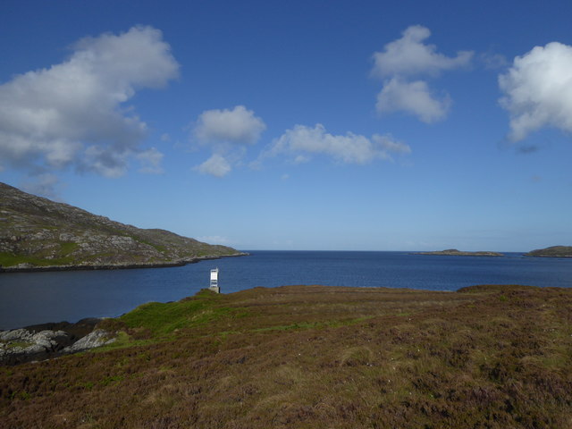
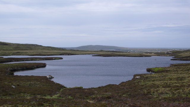
Eilean Dubh is a small island located in Inverness-shire, Scotland. It is situated within Loch Ness, approximately 7 miles southwest of the city of Inverness. The island measures around 0.1 square miles in size and is known for its picturesque and serene surroundings.

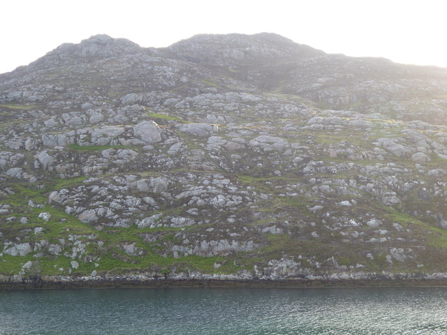
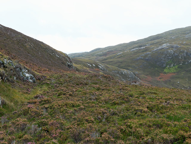
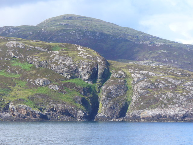
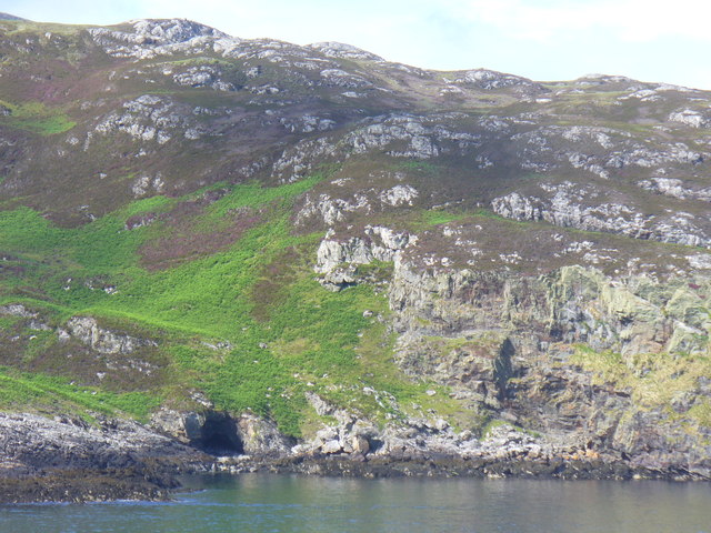
Eilean Dubh is characterized by its lush green vegetation, rocky shores, and beautiful views of the surrounding Loch Ness. The island is home to a variety of plant and animal species, including oak, birch, and pine trees, as well as various bird species such as herons and ducks.

The island's history dates back centuries, with evidence of human occupation from as early as the Iron Age. Ruins of a medieval chapel dedicated to St. Columba can still be seen on the island, showcasing its religious significance in the past.

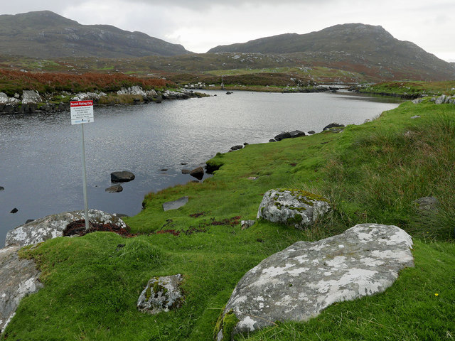
Access to Eilean Dubh is primarily by boat, with several tour operators offering trips to explore Loch Ness and its surrounding islands. Visitors can enjoy a peaceful and relaxing experience on the island, taking in the stunning natural beauty and perhaps even catching a glimpse of the famous Loch Ness Monster.

Eilean Dubh is a popular destination for nature enthusiasts, birdwatchers, and those interested in the history and folklore of Loch Ness. Its secluded location and tranquil atmosphere make it an ideal spot for those seeking a break from the hustle and bustle of city life.

If you have any feedback on the listing, please let us know in the comments section below.

Eilean Dubh Images

Images are sourced within 2km of 57.150652/-7.3033826 or Grid Reference NF7919. Thanks to Geograph Open Source API. All images are credited.
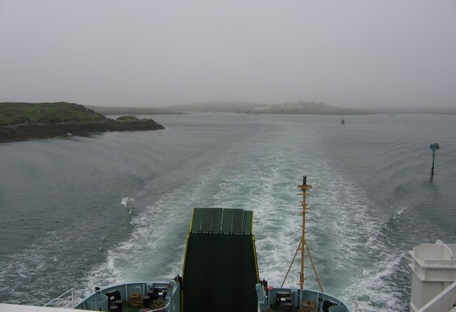
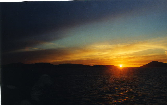
Navigation light, Gasaigh
Beinn Ruigh Choinnich from the ferry
View towards Bealach an Easain A region that sees few walkers and evidence of sheep only from their tracks.
View towards Bealach an Easain
A region that sees few walkers and evidence of sheep only from their tracks.
A' Mhaol Bhuidhe Spectacular rocky coastline, with fissures, on the northern shore of Loch Baghasdail / Loch Boisdale. This is a "drowned landscape" with sea lochs formed by risen sea level.
A' Mhaol Bhuidhe
Spectacular rocky coastline, with fissures, on the northern shore of Loch Baghasdail / Loch Boisdale. This is a "drowned landscape" with sea lochs formed by risen sea level.
Coastline Below Beinn Ruigh Choinnich Rocky shore on the north of the sea loch, Loch Baghasdail / Loch Boisdale. Risen sea levels have created a "drowned landscape".
Coastline Below Beinn Ruigh Choinnich
Rocky shore on the north of the sea loch, Loch Baghasdail / Loch Boisdale. Risen sea levels have created a "drowned landscape".
Beinn Ruigh Choinnich from South Lochboisdale View over Eileanan Iasgaich and Loch Boisdale with Beinn Ruigh on the right, Stulabhal in the centre and Airneabhal to the left
Beinn Ruigh Choinnich from South Lochboisdale
View over Eileanan Iasgaich and Loch Boisdale with Beinn Ruigh on the right, Stulabhal in the centre and Airneabhal to the left
Steaming out of Loch Baghasdail Not sure if 'steaming' is quite the right expression to describe the movement of a diesel powered car ferry. Taken from the deck of MV 'Lord of the Isles' having just passed the small island of Gasaigh [centre left]. Lochboisdale port can be seen in the distance.
Steaming out of Loch Baghasdail
Not sure if 'steaming' is quite the right expression to describe the movement of a diesel powered car ferry. Taken from the deck of MV 'Lord of the Isles' having just passed the small island of Gasaigh [centre left]. Lochboisdale port can be seen in the distance.
Triuirebheinn from the slopes of Beinn Ruigh Choinnich. Rough going on the hills north of Lochboisdale/Loch Baghasdail.
Triuirebheinn from the slopes of Beinn Ruigh Choinnich.
Rough going on the hills north of Lochboisdale/Loch Baghasdail.
Passing Gasaigh Out in Loch Baghasdail on the ferry to Oban, passing the small island of Gasaigh.
Passing Gasaigh
Out in Loch Baghasdail on the ferry to Oban, passing the small island of Gasaigh.
Sunset over South Uist from the CalMac ferry from Oban
Sunset over South Uist
from the CalMac ferry from Oban
Beinn Ruigh Choinnich
Loch Baghasdail The island to the upper left is Gasaigh.  To the lower right is a fish farm, off An Camas.
Loch Baghasdail
The island to the upper left is Gasaigh. To the lower right is a fish farm, off An Camas.
Loch Baghasdail Gasaigh is on the left - the white-washed buildings of Lochboisdale, with the ferry-point, are in the centre-distance.
Loch Baghasdail
Gasaigh is on the left - the white-washed buildings of Lochboisdale, with the ferry-point, are in the centre-distance.
Loch nan Smalag
Loch nan Smalag
Permit fishing only By the footbridge at Oratobht.  The distant hills are Triuirebheinn (left) and Beinn Ruigh Choinnich (right).  There is a ford here also.
Permit fishing only
By the footbridge at Oratobht. The distant hills are Triuirebheinn (left) and Beinn Ruigh Choinnich (right). There is a ford here also.
Footbridge at Clachan Mora There is a ford here too for vehicles. The access for vehicles from Lochboisdale is the brown terrace to the west of the far side of the bridge.
Footbridge at Clachan Mora
There is a ford here too for vehicles. The access for vehicles from Lochboisdale is the brown terrace to the west of the far side of the bridge.
Downstream from Loch a Bharp Looking upstream from by the footbridge at Oratobht.
Downstream from Loch a Bharp
Looking upstream from by the footbridge at Oratobht.
Moorland by Lochboisdale Beside the path to Loch nan Smalag, a cattle skull adds an unexpected element to the treeless heather-dominated landscape.
Moorland by Lochboisdale
Beside the path to Loch nan Smalag, a cattle skull adds an unexpected element to the treeless heather-dominated landscape.
Show me another place!

Eilean Dubh is located at Grid Ref: NF7919 (Lat: 57.150652, Lng: -7.3033826)

Unitary Authority: Na h-Eileanan an Iar

Police Authority: Highlands and Islands

What 3 Words

///commoners.tripled.graphic. Near Lochboisdale, Na h-Eileanan Siar

Related Wikis

Lochboisdale

Lochboisdale (Scottish Gaelic: Loch Baghasdail [ɫ̪ɔx ˈbɤːs̪t̪ɪl]) is the main village and port on the island of South Uist, Outer Hebrides, Scotland. Lochboisdale...

Eileanan Iasgaich

Na h-Eileanan Iasgaich comprise a small uninhabited archipelago in Loch Boisdale, in the south east of the island of South Uist, in the Outer Hebrides...

Beinn Ruigh Choinnich

Beinn Ruigh Choinnich is a hill which overlooks the port of Lochboisdale on the east coast of the island of South Uist in the Outer Hebrides Scotland....

Auratote

Auratote (Scottish Gaelic: Oratobht) is a location on South Uist in the Outer Hebrides, Scotland. Auratote is within the parish of South Uist. == References... ==

Nearby Amenities

Located within 500m of 57.150652,-7.3033826
Loch Baghasdail
Is In: Uibhist a Deas, Na h-Eileanan Siar, Scotland, UK
Name En: Lochboisdale
Name Gd: Loch Baghasdail
Place: village
Population: 300
Wikidata: Q1016308
Wikipedia: en:Lochboisdale
Lat/Long: 57.1529183/-7.3073209
Telephone
Booth: KX100
Covered: booth
Source: survey
Lat/Long: 57.1531751/-7.3077975
Source: survey
Tourism: information
Lat/Long: 57.1531134/-7.3078423
Toilets
Source: survey
Lat/Long: 57.1530457/-7.3079616
Ferry Terminal
Ferry: yes
Public Transport: station
Lat/Long: 57.1522467/-7.3049965
Shower
Seamark Small Craft Facility Category: showers
Seamark Type: small_craft_facility
Lat/Long: 57.1491214/-7.2960041
Toilets
Seamark Small Craft Facility Category: toilets
Seamark Type: small_craft_facility
Lat/Long: 57.1491228/-7.2959606
Bench
Backrest: yes
Seats: 3
Lat/Long: 57.1491214/-7.2961235
Bench
Backrest: yes
Seats: 3
Lat/Long: 57.1491676/-7.2961242
Recycling
Recycling Type: container
Lat/Long: 57.1492076/-7.2960846
Bank
RBS
Addr City: Loch Baghasdail
Atm: yes
Brand: RBS
Brand Wikidata: Q160126
Brand Wikipedia: en:Royal Bank of Scotland
Name En: Royal Bank of Scotland
Name Gd: Banca Rìoghail na h-Alba
Official Name: Royal Bank of Scotland
Operator: Royal Bank of Scotland
Lat/Long: 57.1533415/-7.3084279
Leisure: marina
Seamark Harbour Category: marina
Seamark Type: harbour
Lat/Long: 57.1504537/-7.2979635
Parking Space
Capacity: 1
Parking Space: disabled
Lat/Long: 57.1492074/-7.2959025
Generator Method: photovoltaic
Generator Output Electricity: yes
Generator Source: solar
Generator Type: solar_photovoltaic_panel
Power: generator
Lat/Long: 57.1522341/-7.3102126
Access: customers
Entrance: yes
Lat/Long: 57.1533366/-7.3082873
Generator Method: wind_turbine
Generator Source: wind
Generator Type: horizontal_axis
Power: generator
Lat/Long: 57.1540286/-7.3050247
Generator Method: wind_turbine
Generator Source: wind
Generator Type: horizontal_axis
Power: generator
Lat/Long: 57.1541145/-7.3044695
Access: private
Entrance: yes
Lat/Long: 57.1542294/-7.308308
Access: private
Entrance: yes
Lat/Long: 57.1541933/-7.308226
Access: private
Entrance: yes
Lat/Long: 57.1540911/-7.3079938
Access: private
Entrance: yes
Lat/Long: 57.1541334/-7.30809
Parking
Capacity: 6
Parking: surface
Lat/Long: 57.1541529/-7.3078313
Turning Circle
Lat/Long: 57.1536958/-7.3079056
Power: pole
Lat/Long: 57.1541921/-7.305747
Power: pole
Lat/Long: 57.1537091/-7.3053366
Power: pole
Lat/Long: 57.1532916/-7.3049664
Power: pole
Lat/Long: 57.1543889/-7.3066857
Bus Stop
Bus: yes
Public Transport: platform
Lat/Long: 57.1526422/-7.3052929
Lawrence's Butchers
Shop: butcher
Lat/Long: 57.1527012/-7.3055761
Drinking Water
Lat/Long: 57.1530159/-7.3079534
Rubha Bhuailt
Natural: cape
Lat/Long: 57.149321/-7.3056689
Rubha nan Èireannach
Natural: cape
Lat/Long: 57.1535453/-7.3030853
Construction: memorial
Note: Marloch Memorial under construction
Lat/Long: 57.1525513/-7.3066641
Barrier: bollard
Lat/Long: 57.1532876/-7.3081322
Barrier: bollard
Lat/Long: 57.1531067/-7.3080109
The data included in this document is from www.openstreetmap.org. The data is made available under ODbL.

Have you been to Eilean Dubh?

Leave your review of Eilean Dubh below (or comments, questions and feedback).