Rubha nan Eireannach
Coastal Feature, Headland, Point in Inverness-shire
Scotland
Rubha nan Eireannach
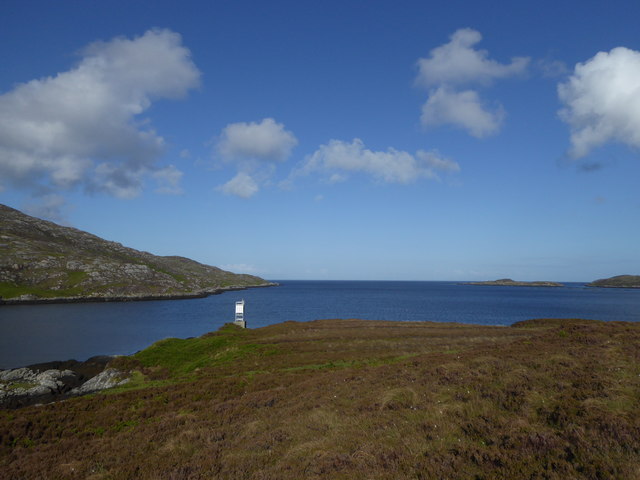
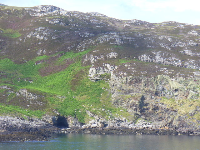
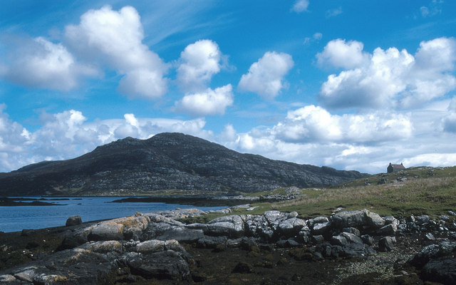
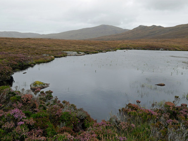
Rubha nan Eireannach, located in Inverness-shire, Scotland, is a captivating coastal feature known for its impressive headland and dramatic cliffs. Situated on the western coast of the Scottish Highlands, this rugged point offers breathtaking views of the Atlantic Ocean and the surrounding picturesque landscape.
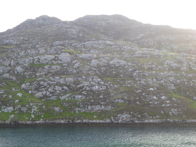
The headland of Rubha nan Eireannach juts out into the ocean, forming a natural barrier that protects the adjacent coastline from the powerful waves and tides. The rocky cliffs that line the headland soar high above the water, creating a stunning backdrop against the deep blue sea. These cliffs are composed of ancient rock formations, showcasing layers of sedimentary rocks that have been shaped by centuries of erosion.
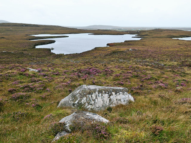
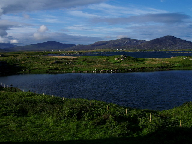
The area surrounding Rubha nan Eireannach is rich in diverse wildlife and natural beauty. Sea birds such as gannets, puffins, and razorbills can often be spotted nesting along the cliffs, adding to the charm of the landscape. The nearby waters are home to seals and dolphins, providing a chance to witness these enchanting creatures in their natural habitat.
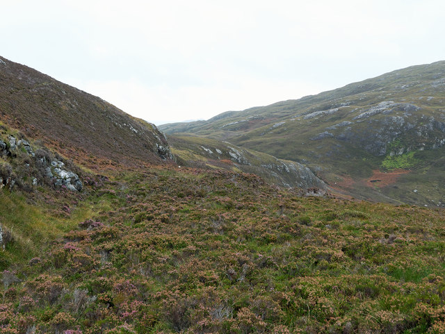
Visitors to Rubha nan Eireannach can explore the headland through a network of well-maintained coastal paths, offering both leisurely strolls and more challenging hikes. These paths provide access to viewpoints that offer panoramic vistas of the surrounding coastline, including nearby islands and distant mountain ranges.
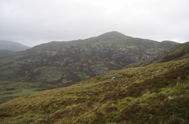
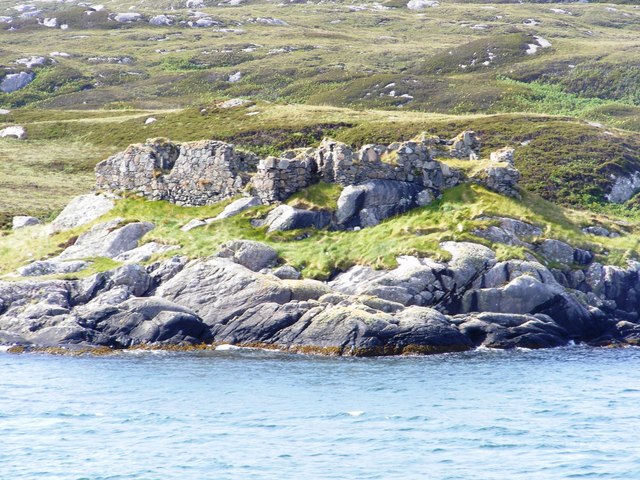
Rubha nan Eireannach is not only a haven for nature enthusiasts but also holds historical significance. The headland is believed to have been a strategic vantage point during ancient times and remnants of ancient settlements can still be found in the area, adding an extra layer of intrigue to this remarkable coastal feature.
In summary, Rubha nan Eireannach is a captivating headland in Inverness-shire, Scotland, offering stunning views, diverse wildlife, and a rich historical heritage. It is a must-visit destination for those seeking to immerse themselves in the natural beauty and cultural heritage of the
If you have any feedback on the listing, please let us know in the comments section below.
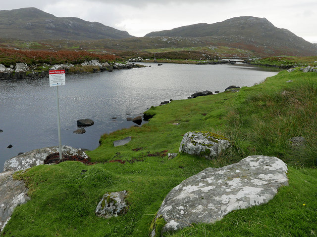
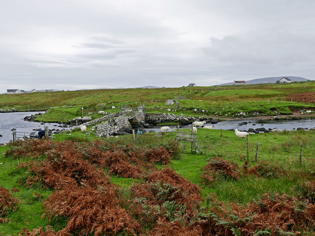
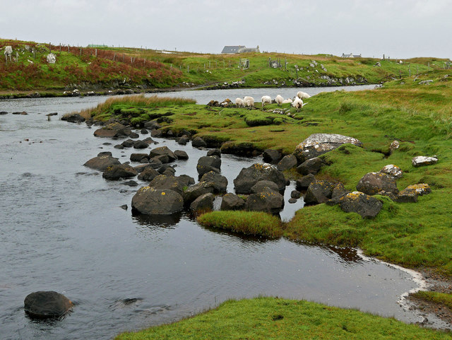
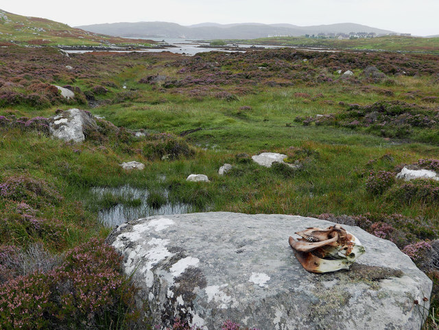
Rubha nan Eireannach Images
Images are sourced within 2km of 57.153499/-7.3045695 or Grid Reference NF7919. Thanks to Geograph Open Source API. All images are credited.
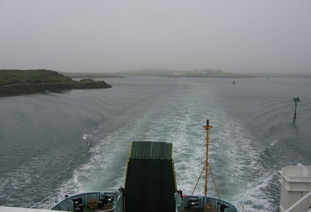
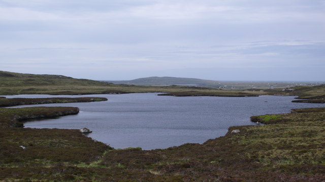
![Steaming out of Loch Baghasdail Not sure if 'steaming' is quite the right expression to describe the movement of a diesel powered car ferry. Taken from the deck of MV 'Lord of the Isles' having just passed the small island of Gasaigh [centre left]. Lochboisdale port can be seen in the distance.](https://s2.geograph.org.uk/geophotos/03/06/57/3065774_21c62608.jpg)
Rubha nan Eireannach is located at Grid Ref: NF7919 (Lat: 57.153499, Lng: -7.3045695)
Unitary Authority: Na h-Eileanan an Iar
Police Authority: Highlands and Islands
What 3 Words
///window.mailing.rationing. Near Lochboisdale, Na h-Eileanan Siar
Nearby Locations
Related Wikis

Lochboisdale
Lochboisdale (Scottish Gaelic: Loch Baghasdail [ɫ̪ɔx ˈbɤːs̪t̪ɪl]) is the main village and port on the island of South Uist, Outer Hebrides, Scotland. Lochboisdale...

Eileanan Iasgaich
Na h-Eileanan Iasgaich comprise a small uninhabited archipelago in Loch Boisdale, in the south east of the island of South Uist, in the Outer Hebrides...

Auratote
Auratote (Scottish Gaelic: Oratobht) is a location on South Uist in the Outer Hebrides, Scotland. Auratote is within the parish of South Uist. == References... ==

Beinn Ruigh Choinnich
Beinn Ruigh Choinnich is a hill which overlooks the port of Lochboisdale on the east coast of the island of South Uist in the Outer Hebrides Scotland....
Papar
The Papar (Icelandic pronunciation: [ˈpʰaːpar̥]; from Latin papa, via Old Irish, meaning "father" or "pope") were, according to early Icelandic sagas,...
Calvay Castle
Calvay Castle (Scottish Gaelic: Caisteal Calbhaigh) is a ruined castle on an islet close to the island of Calbhaigh, at the eastern approaches to Loch...

Easaval
Easaval (Scottish Gaelic: Easabhal) is one of the smallest hills on the island of South Uist in the Outer Hebrides of Scotland, with a height of 243 metres...

Daliburgh
Daliburgh (Scottish Gaelic: Dalabrog) is a crofting township on South Uist, in the Outer Hebrides, Scotland. Daliburgh is situated 1+1⁄2 miles (2.5 kilometres...
Nearby Amenities
Located within 500m of 57.153499,-7.3045695Have you been to Rubha nan Eireannach?
Leave your review of Rubha nan Eireannach below (or comments, questions and feedback).