Barton
Settlement in Hampshire
England
Barton
Barton is a small village located in the county of Hampshire, England. Situated in the Test Valley district, it lies about 7 miles northwest of the city of Winchester and 13 miles northeast of the town of Salisbury. The village is nestled in the picturesque countryside, surrounded by rolling hills and farmland, offering its residents a tranquil and idyllic setting.
Barton is a close-knit community with a population of around 500 people. The village is known for its charming thatched cottages and historic buildings, which give it a distinctive and timeless feel. St. Michael's Church, dating back to the 12th century, stands at the heart of Barton, showcasing beautiful architecture and providing a place of worship for locals.
Despite its small size, Barton offers a range of amenities for its residents. These include a primary school, a village hall, a post office, and a local pub, creating a sense of community and providing essential services to the villagers. Additionally, the village boasts several public footpaths and bridleways, allowing residents and visitors to explore the stunning countryside and enjoy outdoor activities.
Barton's location offers easy access to the nearby cities of Winchester and Salisbury, which provide a wider range of amenities, including shopping centers, restaurants, and cultural attractions. The village is well-connected by road, with the A30 passing nearby, providing convenient links to other parts of Hampshire and beyond.
Overall, Barton is a charming and peaceful village that offers residents a close-knit community, beautiful surroundings, and convenient access to nearby towns and cities.
If you have any feedback on the listing, please let us know in the comments section below.
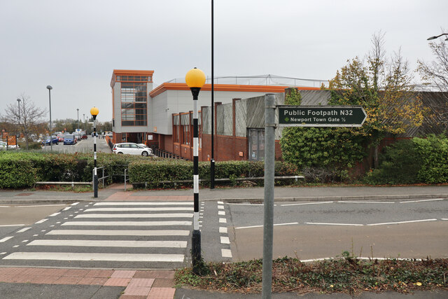
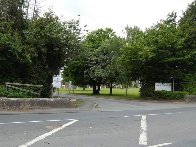
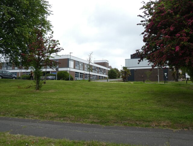
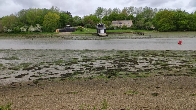
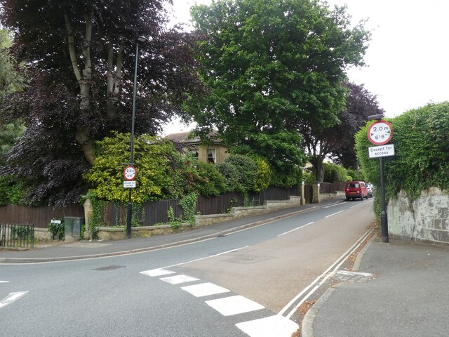
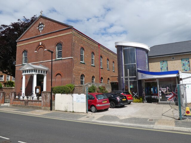
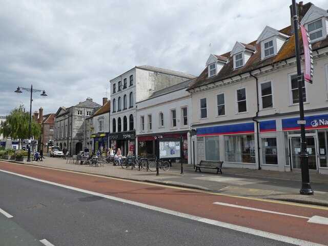
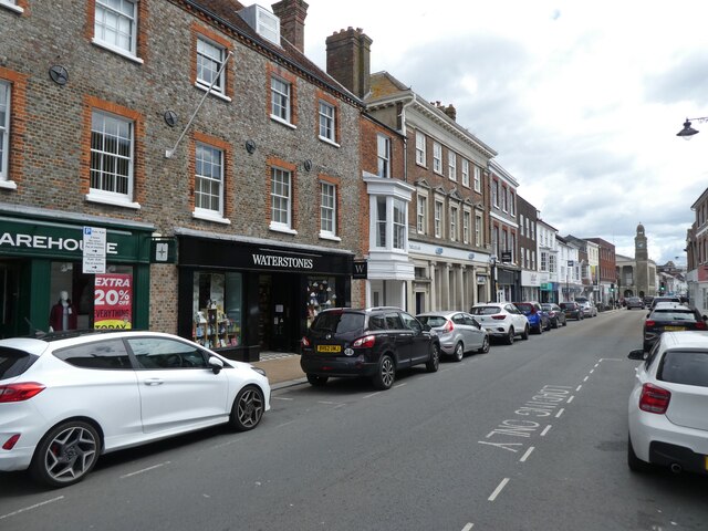
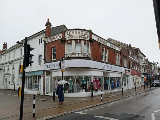
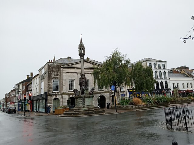
Barton Images
Images are sourced within 2km of 50.699826/-1.285599 or Grid Reference SZ5089. Thanks to Geograph Open Source API. All images are credited.
Barton is located at Grid Ref: SZ5089 (Lat: 50.699826, Lng: -1.285599)
Unitary Authority: Isle of Wight
Police Authority: Hampshire
What 3 Words
///delusions.short.minimums. Near Newport, Isle of Wight
Nearby Locations
Related Wikis

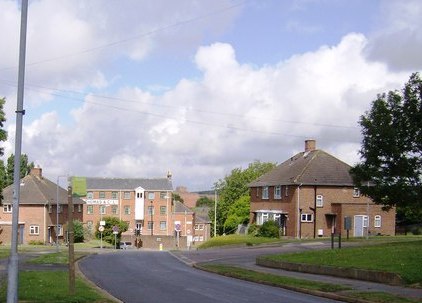
Barton, Isle of Wight
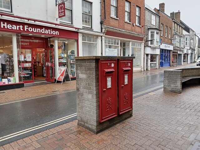
Barton is an area in the east of Newport on the Isle of Wight. Transport is provided by Southern Vectis community service route 39 to the town centre and...

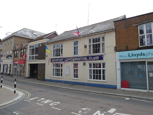
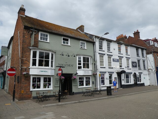
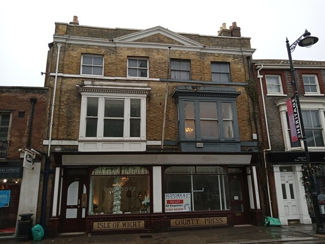
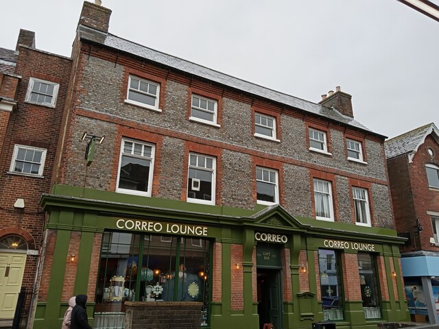
Newport, Isle of Wight
Newport is the county town of the Isle of Wight, an island county off the south coast of England. The town is slightly north of the centre of the island...
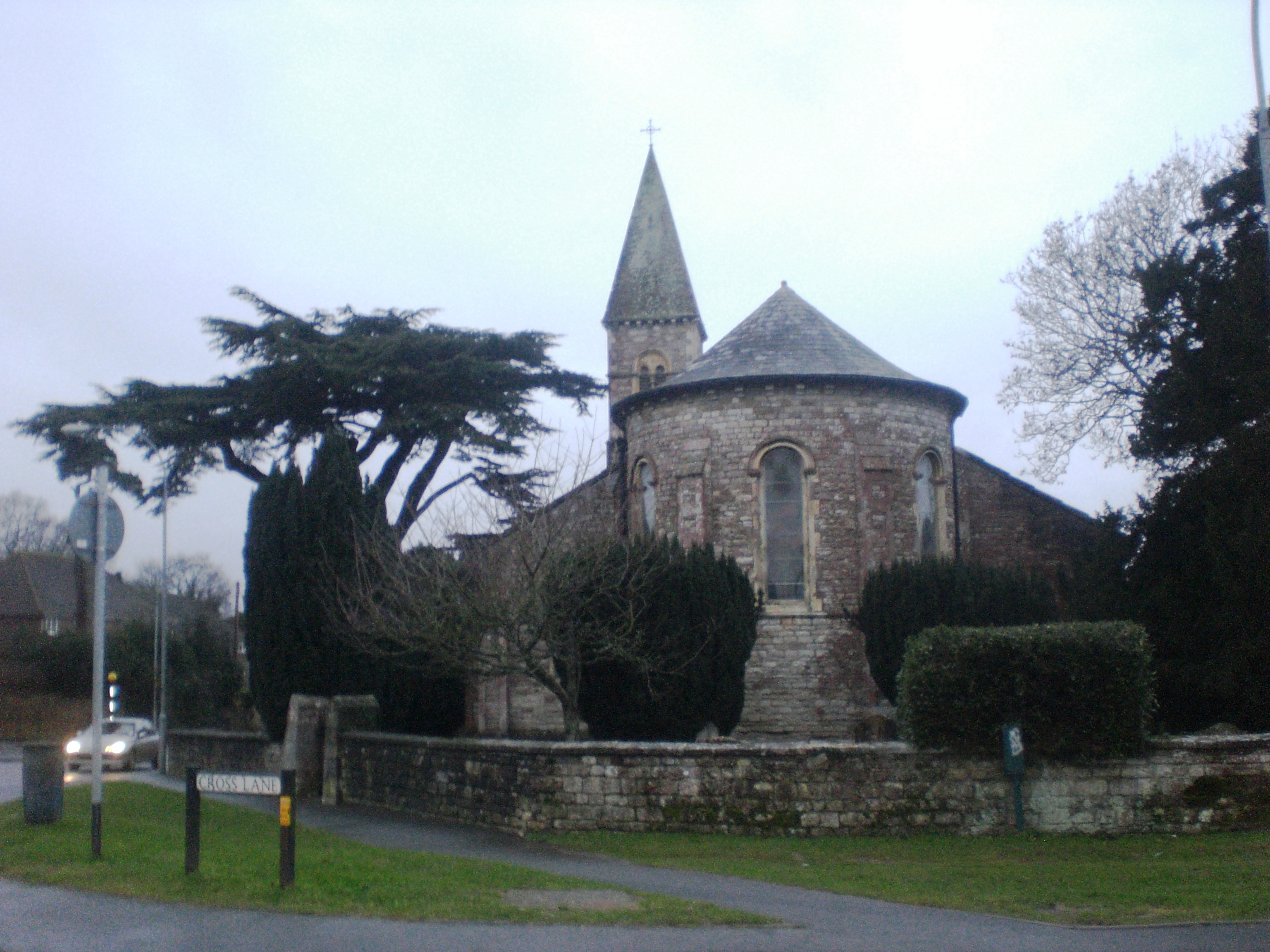
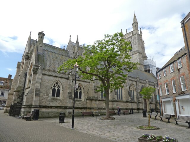
St Paul's Church, Newport, Isle of Wight
St Paul's Church, Newport is a parish church in the Church of England located in Barton, Isle of Wight and Newport, Isle of Wight, United Kingdom. The...
Newport Pan Lane railway station
Newport Pan Lane railway station, was, for four years, the temporary terminus of the Isle of Wight (Newport Junction) Railway incorporated in 1868....
Nearby Amenities
Located within 500m of 50.699826,-1.285599Have you been to Barton?
Leave your review of Barton below (or comments, questions and feedback).