Cader Idris
Range Of Mountains, Range Of Hills in Merionethshire
Wales
Cader Idris
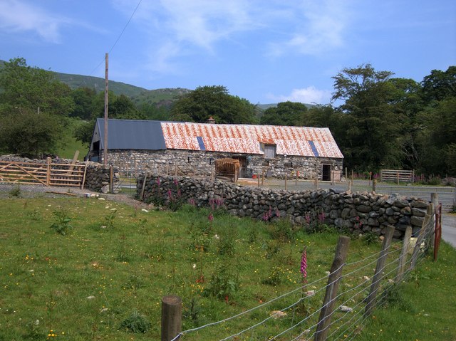
Cader Idris, also known as Cadair Idris, is a prominent mountain range located in Merionethshire, Wales. It forms a part of the Snowdonia National Park, a region renowned for its rugged natural beauty and diverse wildlife. Cader Idris is situated in the southern part of the park, approximately 10 miles north-east of Dolgellau.
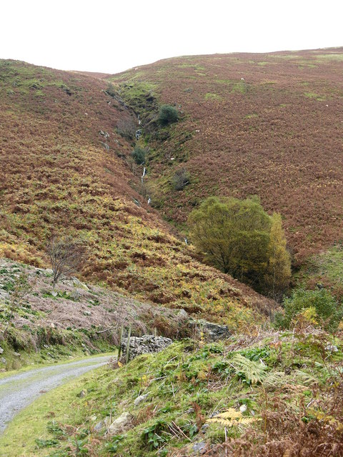
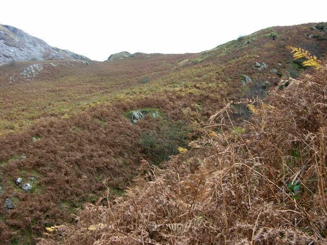
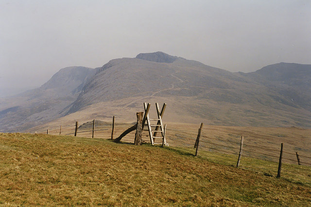
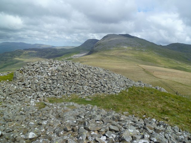
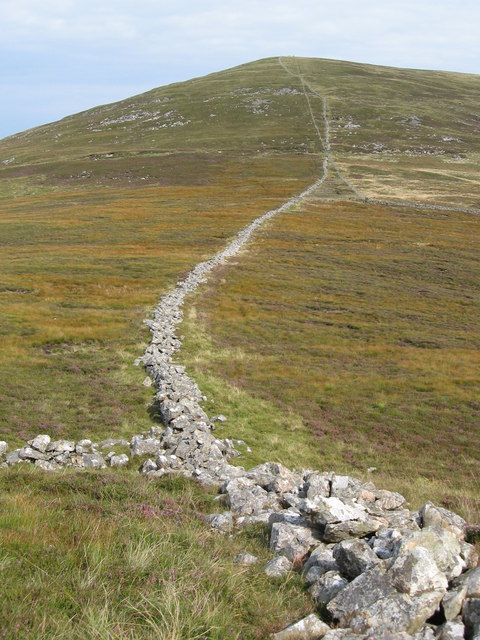
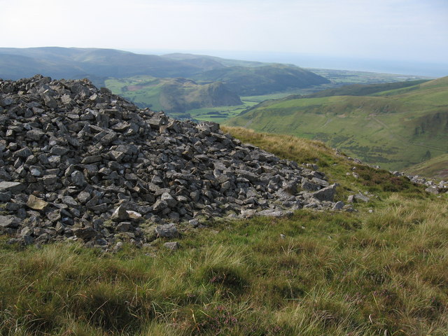
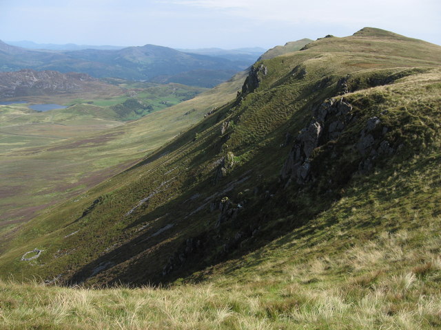
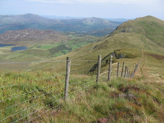
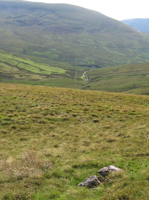
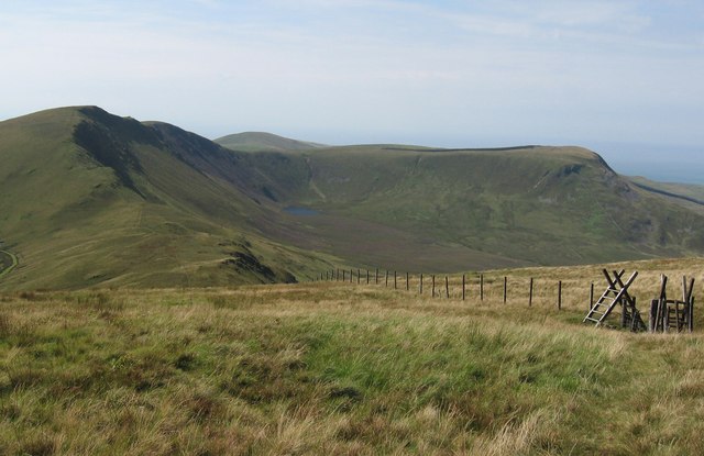
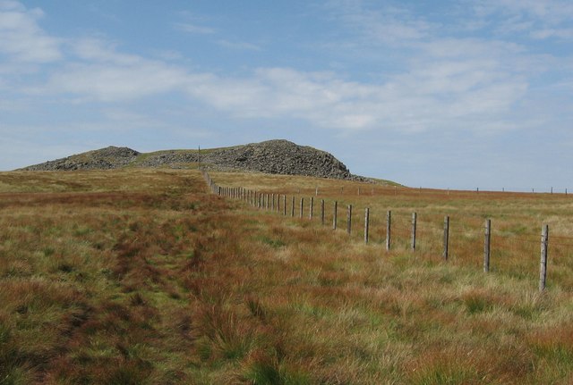
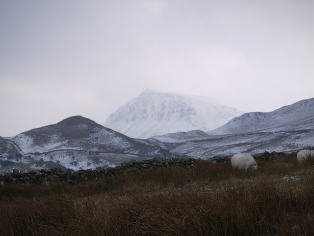
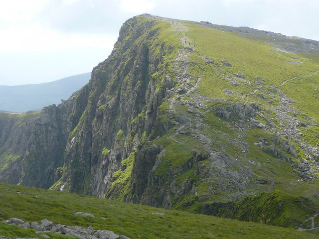
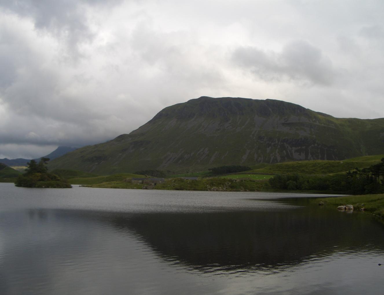
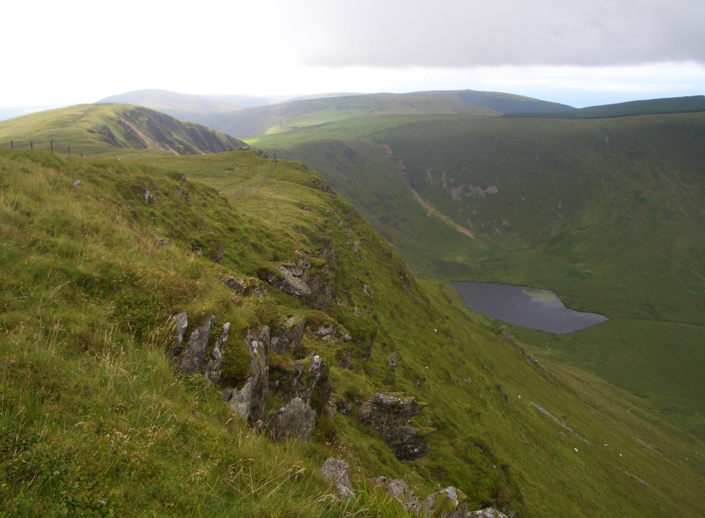
The mountain range comprises a series of peaks and valleys, with its highest point reaching 2,930 feet (893 meters) above sea level. This makes it one of the tallest mountains in Wales. The landscape of Cader Idris is characterized by steep slopes, craggy cliffs, and glistening lakes, offering breathtaking views to hikers and nature enthusiasts.
The name Cader Idris translates to "Chair of Idris" in English, referencing the legend of a giant named Idris who is said to have used the mountain as his seat. The range is steeped in folklore and has inspired many tales and poems throughout the centuries.
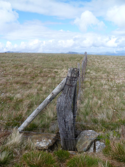
The mountain range is home to a variety of flora and fauna, including heather, bilberry, and mosses, as well as a range of bird species, such as red grouse and peregrine falcons. The area is also known for its diverse geological formations, with evidence of glacial activity visible in the form of moraines and cirques.
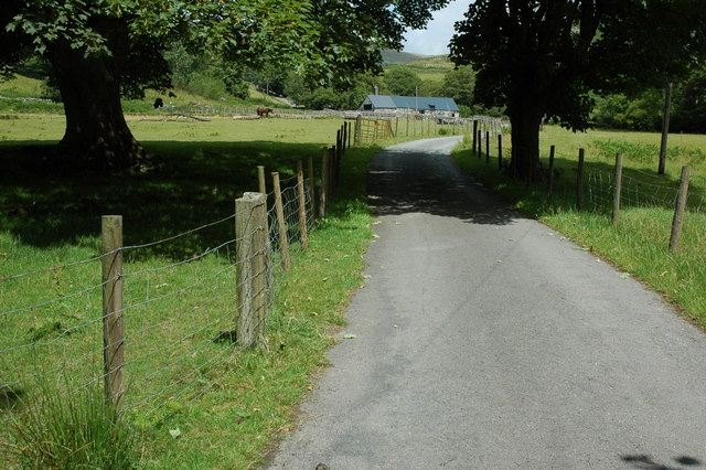
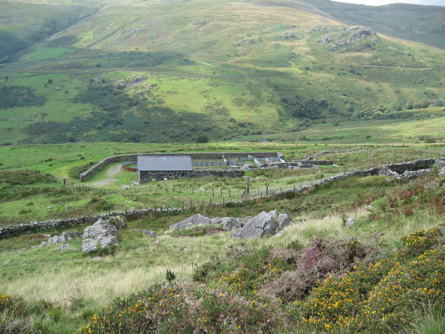
Cader Idris attracts a large number of visitors each year, who come to explore its scenic trails and experience its natural wonders. The mountain range offers a range of hiking routes, catering to both experienced mountaineers and casual walkers. There are also opportunities for camping and wildlife spotting, making it a popular destination for outdoor enthusiasts.
If you have any feedback on the listing, please let us know in the comments section below.
Cader Idris Images
Images are sourced within 2km of 52.687446/-3.9578959 or Grid Reference SH6711. Thanks to Geograph Open Source API. All images are credited.
![On Craig -las [Tyrrau Mawr] Looking along the ridge at the steep Bilberry covered crags.](https://s0.geograph.org.uk/geophotos/02/41/48/2414852_47cd70c3.jpg)
![On Craig -las [Tyrrau Mawr] Looking along the ridge towards Cadair Idris](https://s0.geograph.org.uk/geophotos/02/41/48/2414856_c35f5dbb.jpg)
Cader Idris is located at Grid Ref: SH6711 (Lat: 52.687446, Lng: -3.9578959)
Unitary Authority: Gwynedd
Police Authority: North Wales
Also known as: Cadair Idris
What 3 Words
///paddlers.cookers.baseless. Near Dolgellau, Gwynedd
Nearby Locations
Related Wikis

Llanfihangel-y-Pennant
Llanfihangel-y-Pennant is a hamlet and wider, very sparsely populated community (which includes Abergynolwyn and Tal-y-llyn) in the Meirionnydd area of...
Craig Cwm Amarch
Craig Cwm Amarch is not synonymous with Craig y Cau but names the headwall of Cwm Amarch on Cadair Idris in the Snowdonia National Park, in Gwynedd, north...
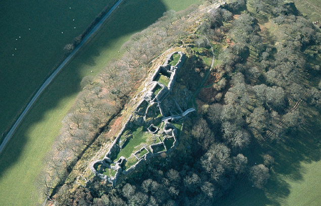
Castell y Bere
Castell y Bere is a Welsh castle near Llanfihangel-y-pennant in Gwynedd, Wales. Constructed by Llywelyn the Great in the 1220s, the stone castle was intended...

Cadair Idris
Cadair Idris or Cader Idris is a mountain in the Meirionnydd area of Gwynedd, Wales. It lies at the southern end of the Snowdonia National Park near the...
Tyrrau Mawr
Tyrrau Mawr or Craig-las is a subsidiary summit of Cadair Idris in the Snowdonia National Park, in Gwynedd, northwest Wales. It lies to the west of Cyfrwy...

Gau Graig
Gau Graig is a subsidiary summit of Cadair Idris in the Snowdonia National Park, in Gwynedd, northwest Wales. It lies to the east of Mynydd Moel on a broad...
Craig-y-llyn
Craig-y-llyn is a subsidiary summit of Cadair Idris in the Snowdonia National Park, in Gwynedd, northwest Wales. It lies at the western end of the long...

Mynydd Moel
Mynydd Moel is the second highest summit of Cadair Idris in the Snowdonia National Park, in Gwynedd, northwest Wales. == Geography == It lies to the east...
Nearby Amenities
Located within 500m of 52.687446,-3.9578959Have you been to Cader Idris?
Leave your review of Cader Idris below (or comments, questions and feedback).