Cadair Idris
Range Of Mountains, Range Of Hills in Merionethshire
Wales
Cadair Idris
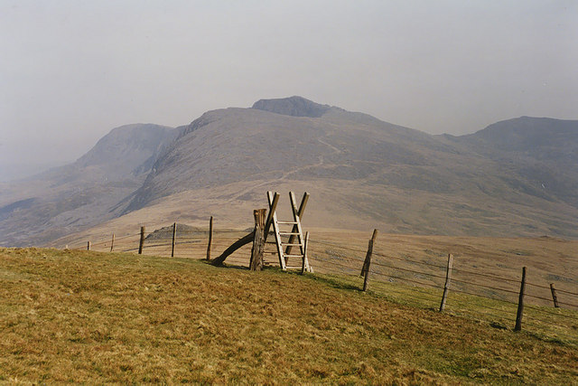
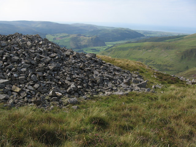
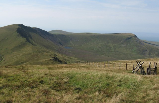
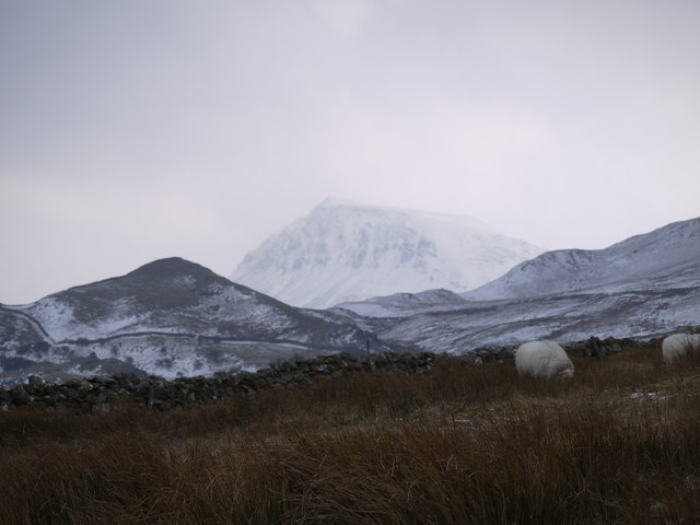
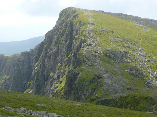
Cadair Idris is a mountain range located in Merionethshire, Wales. It is part of the Snowdonia National Park and is known for its stunning beauty and challenging hiking trails. The highest peak in the range, also named Cadair Idris, stands at 2,930 feet (893 meters) above sea level.
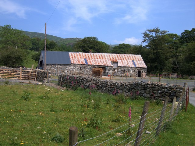
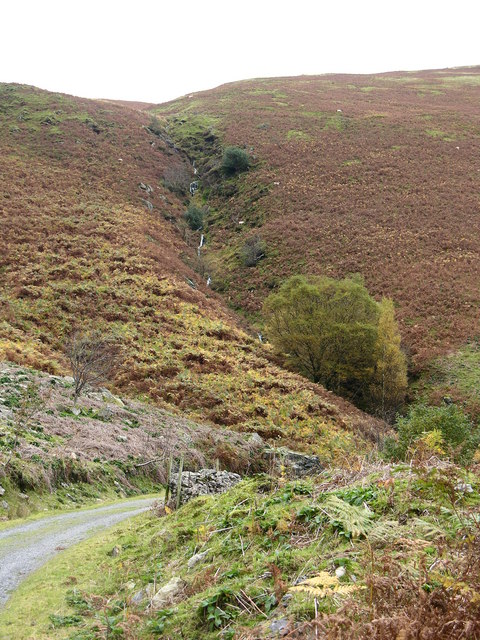
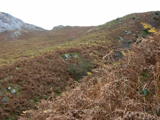
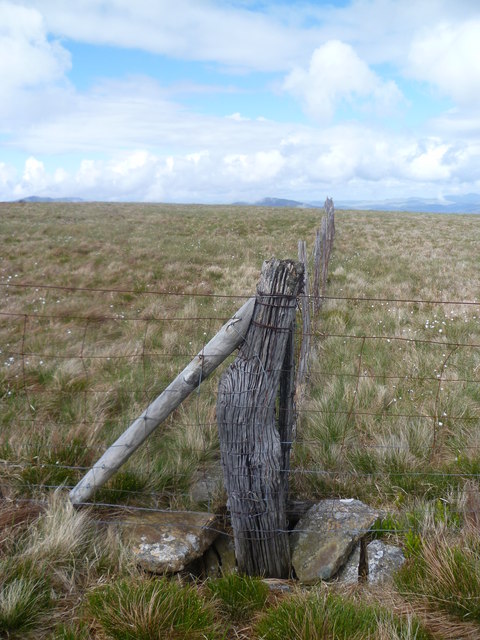
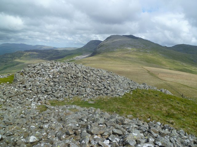
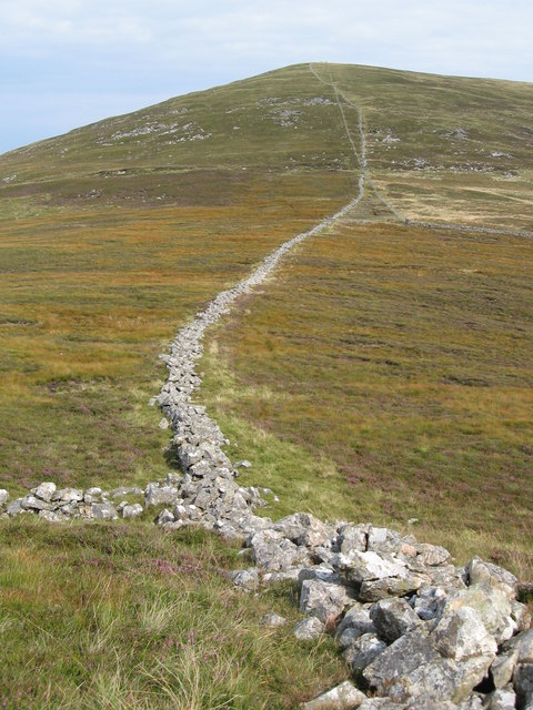
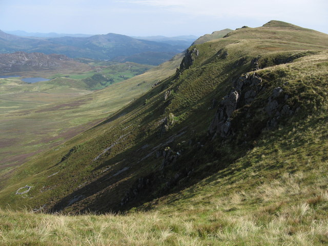
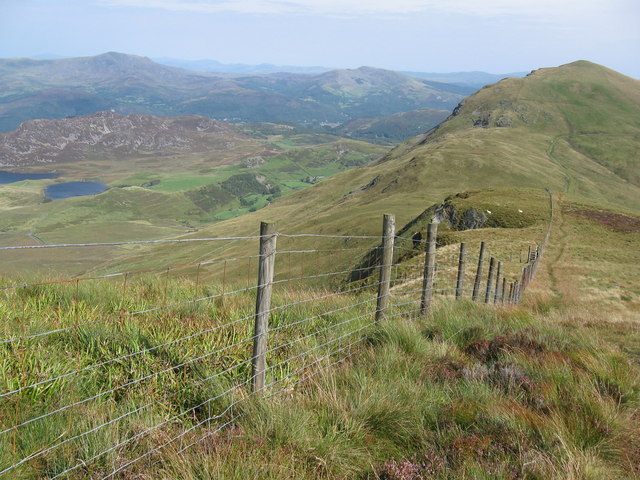
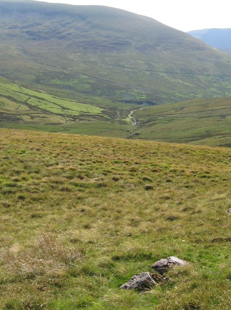
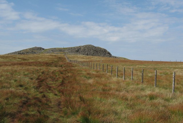
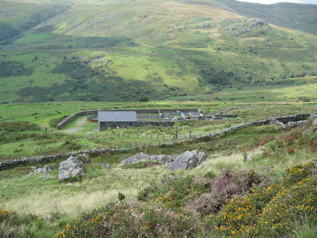
The range is made up of a series of rugged peaks and steep slopes, offering breathtaking views of the surrounding countryside and coastline. The landscape is a mix of rocky outcrops, grassy meadows, and dense forests, providing a diverse and picturesque backdrop for outdoor enthusiasts.
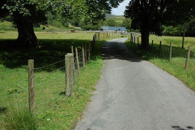
Cadair Idris is a popular destination for hikers, climbers, and nature lovers looking to explore the Welsh wilderness. The range offers a variety of trails ranging from easy walks to more strenuous climbs, catering to all levels of outdoor enthusiasts. Wildlife such as red kites, peregrine falcons, and mountain goats can often be spotted in the area, adding to the natural beauty of Cadair Idris.
Overall, Cadair Idris in Merionethshire is a stunning mountain range that offers a challenging yet rewarding outdoor experience for visitors looking to explore the rugged beauty of Wales.
If you have any feedback on the listing, please let us know in the comments section below.
Cadair Idris Images
Images are sourced within 2km of 52.687446/-3.9578959 or Grid Reference SH6711. Thanks to Geograph Open Source API. All images are credited.
![On Craig -las [Tyrrau Mawr] Looking along the ridge at the steep Bilberry covered crags.](https://s0.geograph.org.uk/geophotos/02/41/48/2414852_47cd70c3.jpg)
![On Craig -las [Tyrrau Mawr] Looking along the ridge towards Cadair Idris](https://s0.geograph.org.uk/geophotos/02/41/48/2414856_c35f5dbb.jpg)
Cadair Idris is located at Grid Ref: SH6711 (Lat: 52.687446, Lng: -3.9578959)
Unitary Authority: Gwynedd
Police Authority: North Wales
Also known as: Cader Idris
What 3 Words
///paddlers.cookers.baseless. Near Dolgellau, Gwynedd
Nearby Locations
Related Wikis

Llanfihangel-y-Pennant
Llanfihangel-y-Pennant is a hamlet and wider, very sparsely populated community (which includes Abergynolwyn and Tal-y-llyn) in the Meirionnydd area of...
Craig Cwm Amarch
Craig Cwm Amarch is not synonymous with Craig y Cau but names the headwall of Cwm Amarch on Cadair Idris in the Snowdonia National Park, in Gwynedd, north...
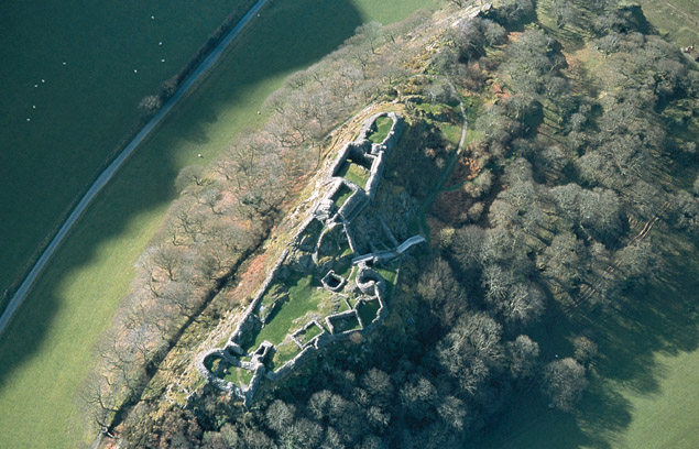
Castell y Bere
Castell y Bere is a Welsh castle near Llanfihangel-y-pennant in Gwynedd, Wales. Constructed by Llywelyn the Great in the 1220s, the stone castle was intended...

Cadair Idris
Cadair Idris or Cader Idris is a mountain in the Meirionnydd area of Gwynedd, Wales. It lies at the southern end of the Snowdonia National Park near the...
Nearby Amenities
Located within 500m of 52.687446,-3.9578959Have you been to Cadair Idris?
Leave your review of Cadair Idris below (or comments, questions and feedback).