North Downs
Range Of Mountains, Range Of Hills in Kent Canterbury
England
North Downs

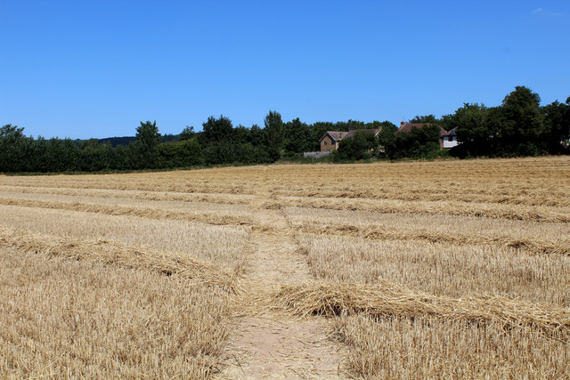
The North Downs is a range of hills located in the county of Kent, southeast England. Stretching for approximately 160 kilometers, it runs in a northeast-southwest direction, parallel to the southern coast of England. The North Downs is part of a larger geological formation known as the Weald-Artois Anticline, which includes the South Downs and the Weald.
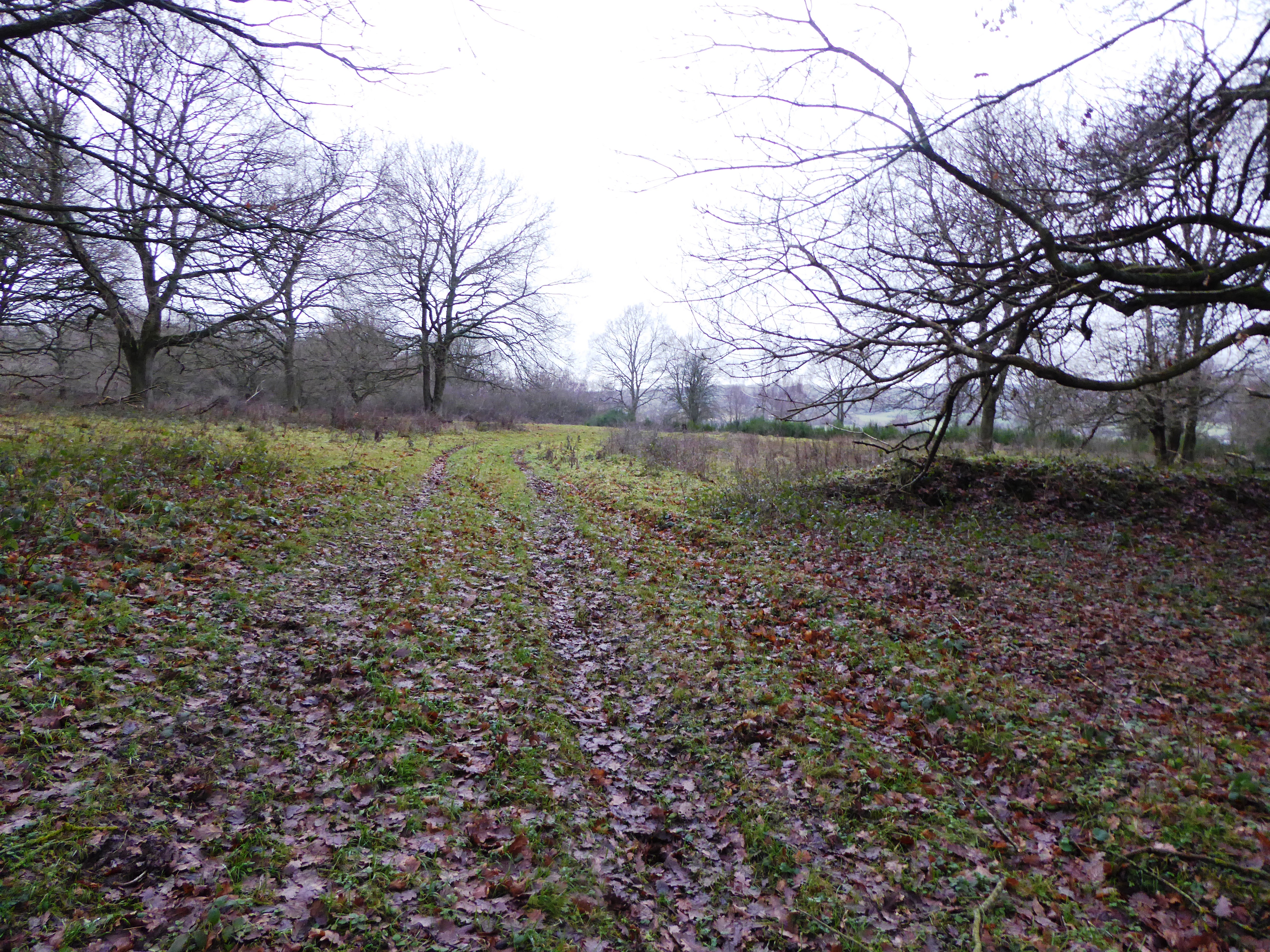
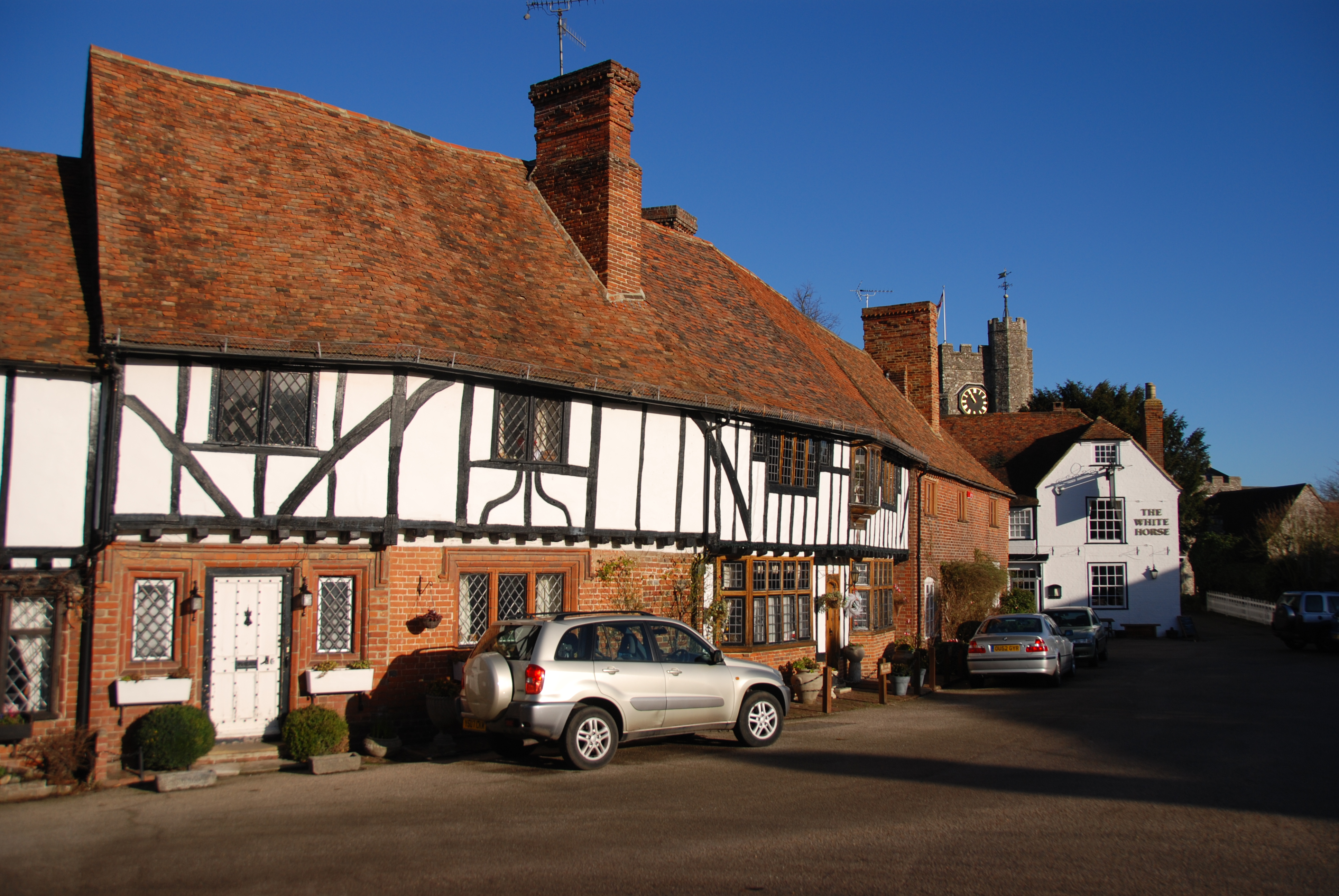
The range is characterized by rolling hills, with gently sloping valleys in between. The highest point in the North Downs is Botley Hill, standing at 269 meters above sea level. The landscape is predominantly rural, featuring picturesque villages, farmland, and woodland.
The North Downs has a rich history, dating back to prehistoric times. It was inhabited by ancient communities, and there are remnants of their settlements, burial mounds, and hillforts scattered across the area. The range also played a significant role during Roman times, with the creation of the Pilgrims' Way, a route used by pilgrims traveling from Winchester to the shrine of Thomas Becket in Canterbury.
Today, the North Downs is a popular destination for outdoor activities such as hiking, cycling, and horse riding. It is crisscrossed by numerous footpaths and bridleways, providing opportunities for both leisurely strolls and more challenging treks. The area is also home to several nature reserves, supporting a diverse range of flora and fauna, including rare orchids and butterflies.
In conclusion, the North Downs in Kent is a beautiful and historically significant range of hills, offering a tranquil escape from the bustle of urban life and providing ample opportunities for outdoor exploration and appreciation of nature.
If you have any feedback on the listing, please let us know in the comments section below.
North Downs Images
Images are sourced within 2km of 51.243319/0.99156097 or Grid Reference TR0853. Thanks to Geograph Open Source API. All images are credited.


North Downs is located at Grid Ref: TR0853 (Lat: 51.243319, Lng: 0.99156097)
Administrative County: Kent
District: Canterbury
Police Authority: Kent
What 3 Words
///turkey.diets.duration. Near Chartham, Kent
Nearby Locations
Related Wikis
Broadham Down
Broadham Down is a 16-hectare (40-acre) nature reserve east of Chilham and west of Canterbury in Kent. It is managed by the Kent Wildlife Trust.This nature...

Chilham railway station
Chilham railway station is a railway station in Chilham, Kent. It is on the Ashford to Ramsgate line between Ashford International and Canterbury West...

Julliberrie's Grave
Julliberrie's Grave, also known as The Giant's Grave or The Grave, is an unchambered long barrow located near to the village of Chilham in the south-eastern...

Down Bank
Down Bank is a 5.9-hectare (15-acre) biological Site of Special Scientific Interest south-west of Canterbury in Kent.This sloping chalk meadow has the...
Chilham
Chilham is a mostly agricultural village and parish in the English county of Kent with a clustered settlement, Chilham village centre, in the northeast...

Chilham Castle
Chilham Castle is a Jacobean manor house and keep in the village of Chilham, between Ashford and Canterbury in the county of Kent, England. The keep is...

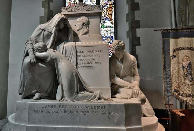
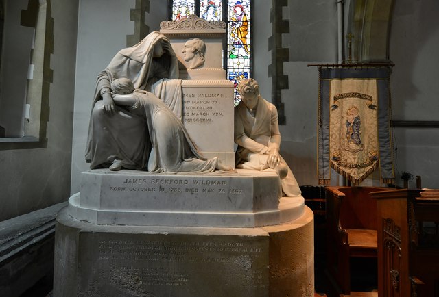
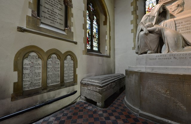
Church of St Mary, Chartham
St Mary's Church is in the village of Chartham, Kent, England. It is an active Anglican parish church in the Diocese of Canterbury. Constructed between...

Chartham railway station
Chartham railway station is in Chartham, Kent, on the Ashford to Ramsgate line. The station, and all trains serving it, is operated by Southeastern....
Nearby Amenities
Located within 500m of 51.243319,0.99156097Have you been to North Downs?
Leave your review of North Downs below (or comments, questions and feedback).