Gog Magog Hills
Range Of Mountains, Range Of Hills in Cambridgeshire South Cambridgeshire
England
Gog Magog Hills
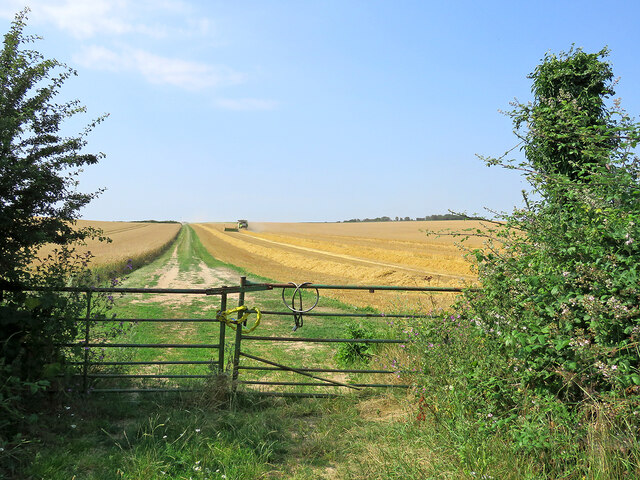
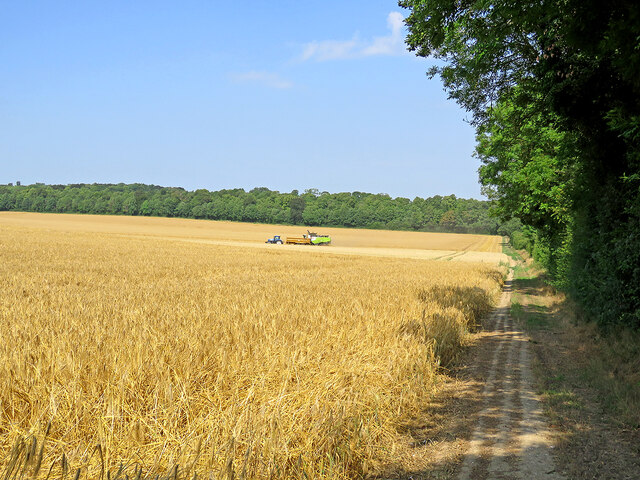
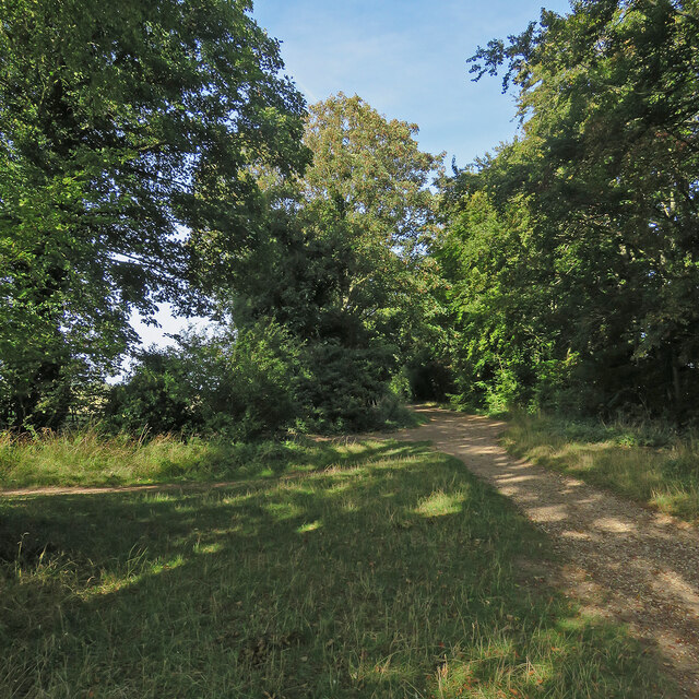
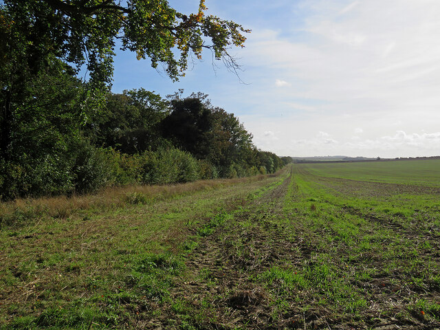
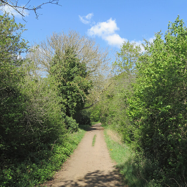
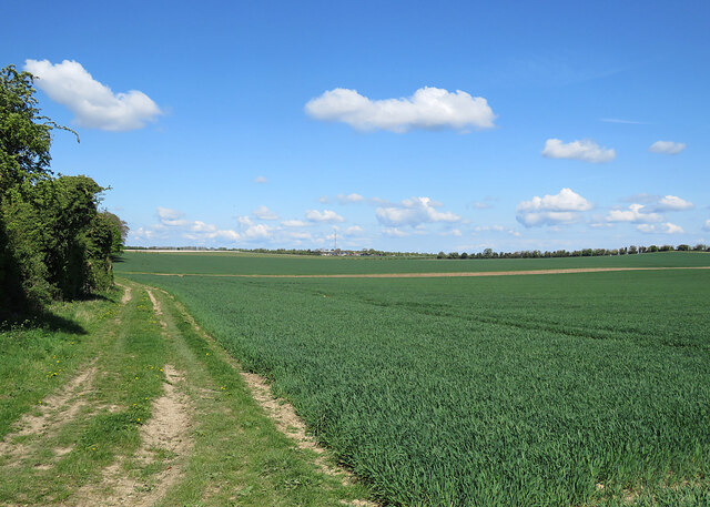
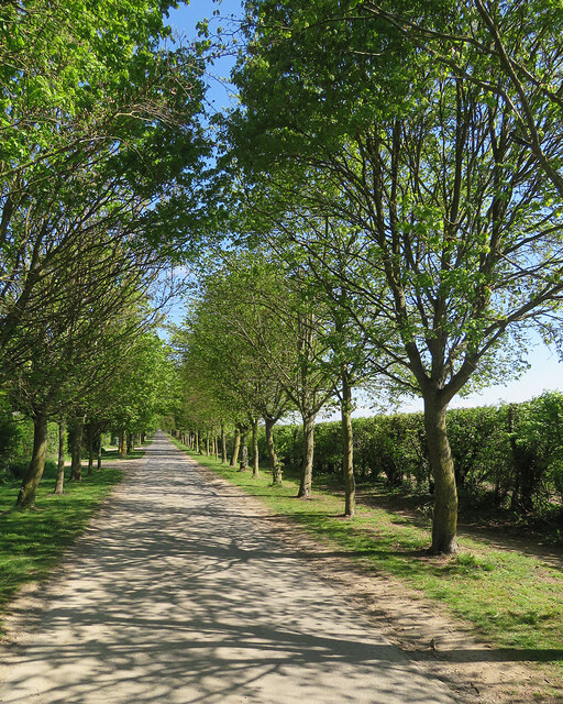
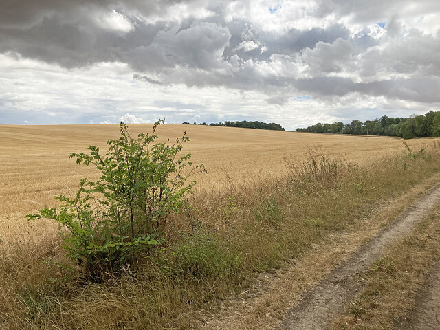
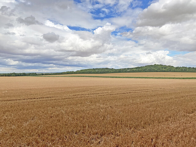
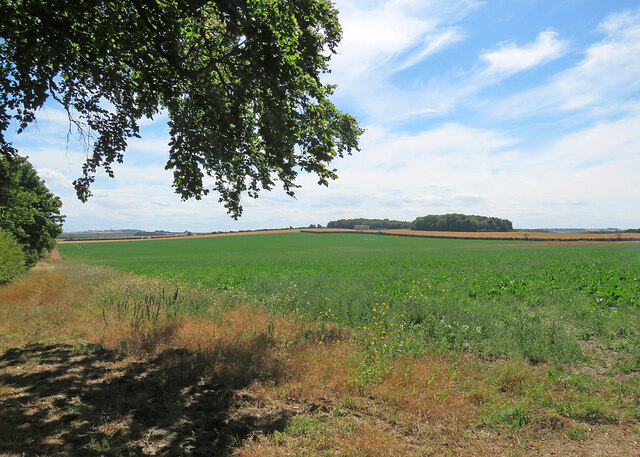
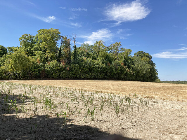
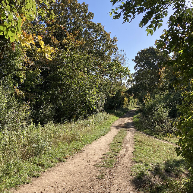
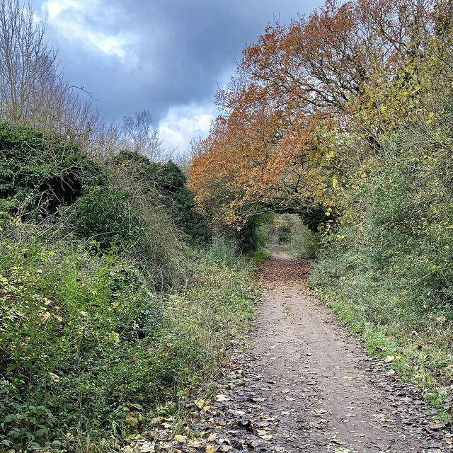
Gog Magog Hills, located in Cambridgeshire, England, is a range of hills that forms part of the chalk escarpment of the East Anglian Ridge. Stretching over an area of approximately 30 square kilometers, the hills are situated to the southeast of the city of Cambridge. Rising to a maximum elevation of 75 meters above sea level, Gog Magog Hills offer panoramic views of the surrounding countryside.
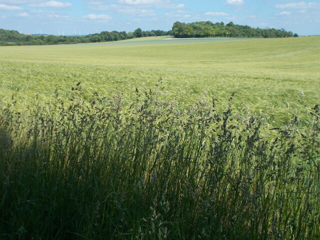
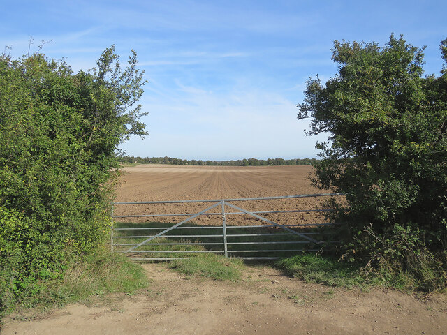
The hills are characterized by their rolling landscape, with steep slopes and valleys carved by ancient rivers. The underlying chalk geology gives rise to fertile soils, supporting a variety of flora and fauna. The area is home to a range of grassland habitats, including areas of chalk grassland, woodlands, and hedgerows, providing a diverse ecosystem for numerous plant and animal species.
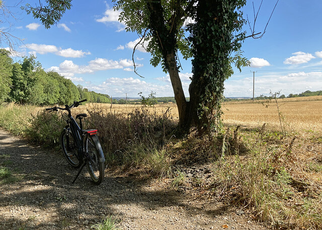
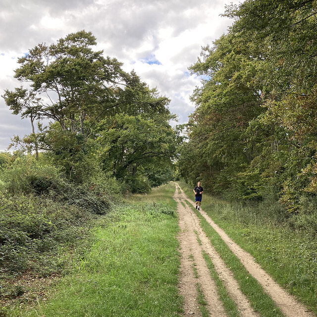
Gog Magog Hills are a popular destination for outdoor enthusiasts, offering opportunities for walking, hiking, and cycling. The area is crisscrossed by a network of footpaths and bridleways, allowing visitors to explore the picturesque countryside and enjoy the peaceful surroundings. The hills also feature a golf course, which attracts golfers from near and far.
In addition to its natural beauty, Gog Magog Hills have historical significance. The name "Gog Magog" is derived from the biblical names of two giants, and there are ancient legends associated with the hills. Furthermore, there are remains of ancient burial mounds and earthworks, suggesting human occupation in the area dating back thousands of years.
Overall, Gog Magog Hills in Cambridgeshire offer a diverse and picturesque landscape, rich in natural beauty and historical heritage.
If you have any feedback on the listing, please let us know in the comments section below.
Gog Magog Hills Images
Images are sourced within 2km of 52.157259/0.18617506 or Grid Reference TL4953. Thanks to Geograph Open Source API. All images are credited.
Gog Magog Hills is located at Grid Ref: TL4953 (Lat: 52.157259, Lng: 0.18617506)
Administrative County: Cambridgeshire
District: South Cambridgeshire
Police Authority: Cambridgeshire
What 3 Words
///passwords.upper.junior. Near Fulbourn, Cambridgeshire
Nearby Locations
Related Wikis

Wandlebury Hill Fort
Wandlebury Hill Fort, also known as the Wandlebury Ring, is an Iron Age hillfort located on Wandlebury Hill in the Gog Magog Hills, Cambridgeshire, England...
Wandlebury Hill
Wandlebury Hill (grid reference TL493534) is a peak in the Gog Magog Hills, a ridge of low chalk hills extending for several miles to the southeast of...

Little Trees Hill
Little Trees Hill is one of the highest points of the Gog Magog Hills, a ridge of low chalk hills extending for several miles to the south-east of Cambridge...

Gog Magog Golf Club
Gog Magog Golf Club is a golf club, located in Shelford Bottom, Cambridgeshire, England. It is located about 4 miles south of Cambridge. == History... ==

Gog Magog Hills
The Gog Magog Hills are a range of low chalk hills, extending for several miles to the southeast of Cambridge in England. The highest points are situated...
Gog Magog Golf Course
Gog Magog Golf Course is an 88.4-hectare (218-acre) biological Site of Special Scientific Interest on Gog Magog Golf Club south-east of Cambridge in Cambridgeshire...
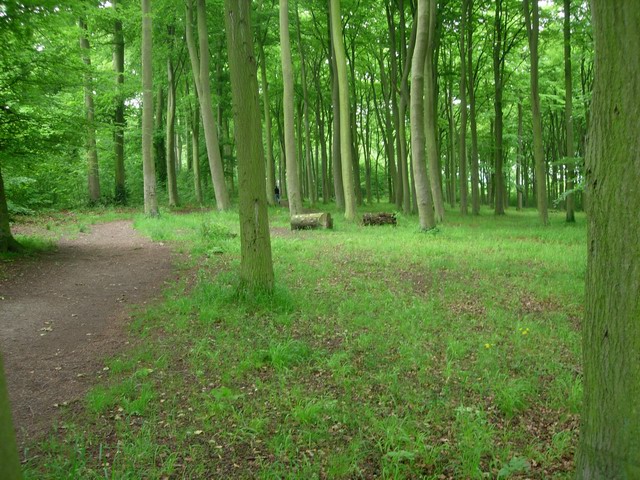
Beechwoods
Beechwoods is a 9.8 hectare Local Nature Reserve south-east of Cambridge, England. It is owned by County Farms and managed by the Wildlife Trust for Bedfordshire...

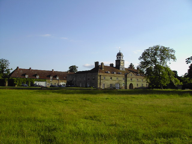
Middlefield, Stapleford
Middlefield is a mansion in Stapleford, Cambridgeshire, England, designed in 1908–9 by Edwin Lutyens. It is a grade II* listed building.Middlefield was...
Nearby Amenities
Located within 500m of 52.157259,0.18617506Have you been to Gog Magog Hills?
Leave your review of Gog Magog Hills below (or comments, questions and feedback).