South Downs
Range Of Mountains, Range Of Hills in Sussex Chichester
England
South Downs
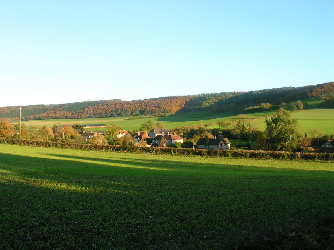
The South Downs, located in the county of Sussex in southern England, is a range of hills spanning approximately 260 square miles. As part of the South Downs National Park, it is a designated Area of Outstanding Natural Beauty, attracting visitors with its stunning landscapes, diverse wildlife, and rich cultural heritage.
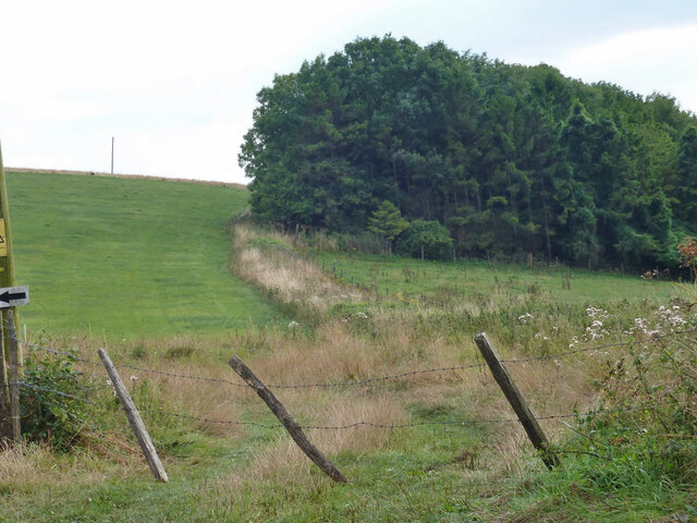
The South Downs is characterized by its rolling chalk hills, which were formed over millions of years by the accumulation of marine organisms and subsequent geological processes. The highest point in the range is Blackdown, reaching an elevation of 280 meters (919 feet) above sea level. This elevated terrain provides breathtaking panoramic views of the surrounding countryside, including the English Channel to the south.
The area is known for its chalk grasslands, which support a wide variety of plant and animal species. Rare orchids, butterflies, and birds can be found in abundance, making it a haven for nature enthusiasts and birdwatchers. Additionally, the South Downs is home to numerous ancient woodlands, river valleys, and coastal cliffs, offering diverse habitats for wildlife to thrive.
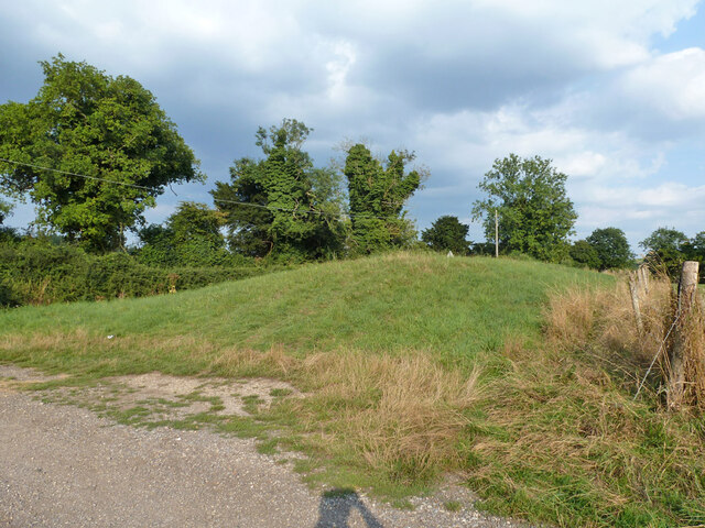
The South Downs is also steeped in history, with evidence of human habitation dating back thousands of years. Prehistoric settlements, burial mounds, and ancient trackways can be discovered throughout the area. The iconic chalk figure of the Long Man of Wilmington, a 235-foot-tall figure carved into the hillside, is a notable landmark that dates back to the Iron Age.
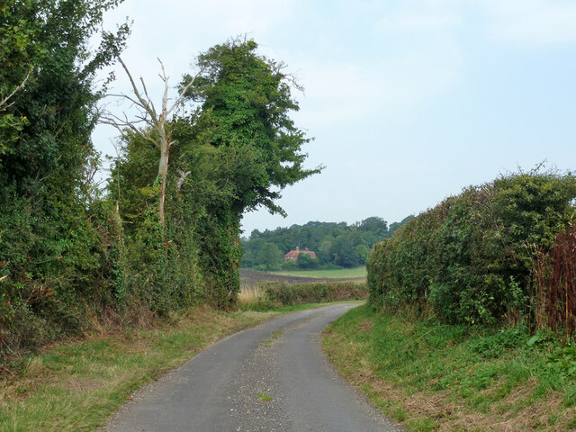
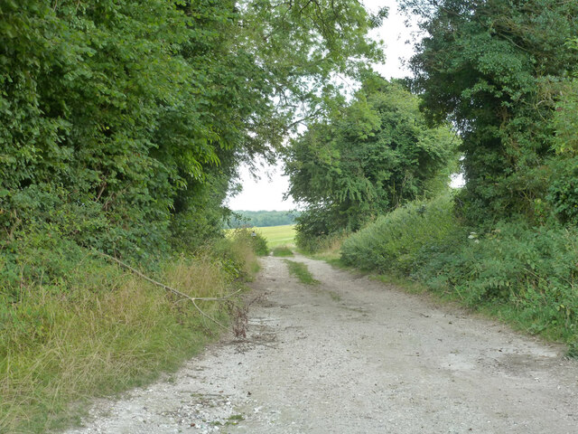
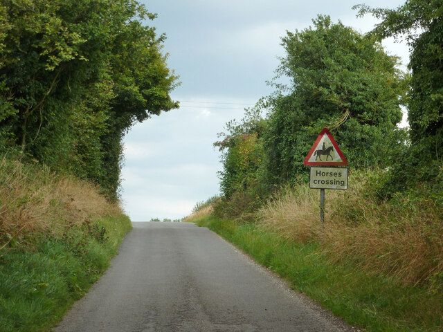
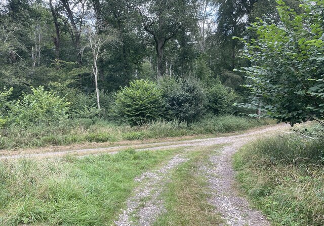
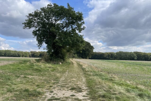
With its natural beauty, historical significance, and extensive network of walking trails, the South Downs offers a wealth of opportunities for outdoor activities, including hiking, cycling, and horse riding. Visitors can explore charming villages, visit historic sites such as the medieval town of Lewes, or simply indulge in the tranquility and beauty of this remarkable landscape.
If you have any feedback on the listing, please let us know in the comments section below.
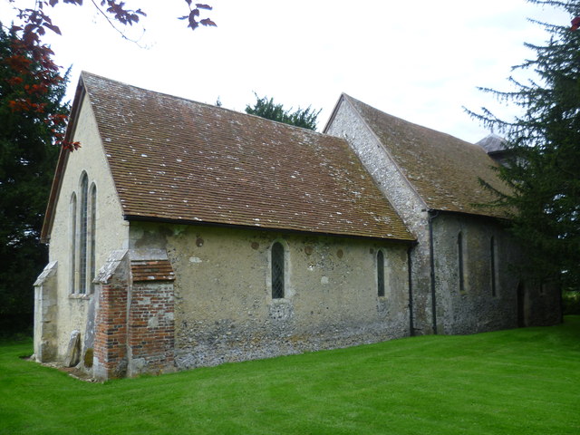
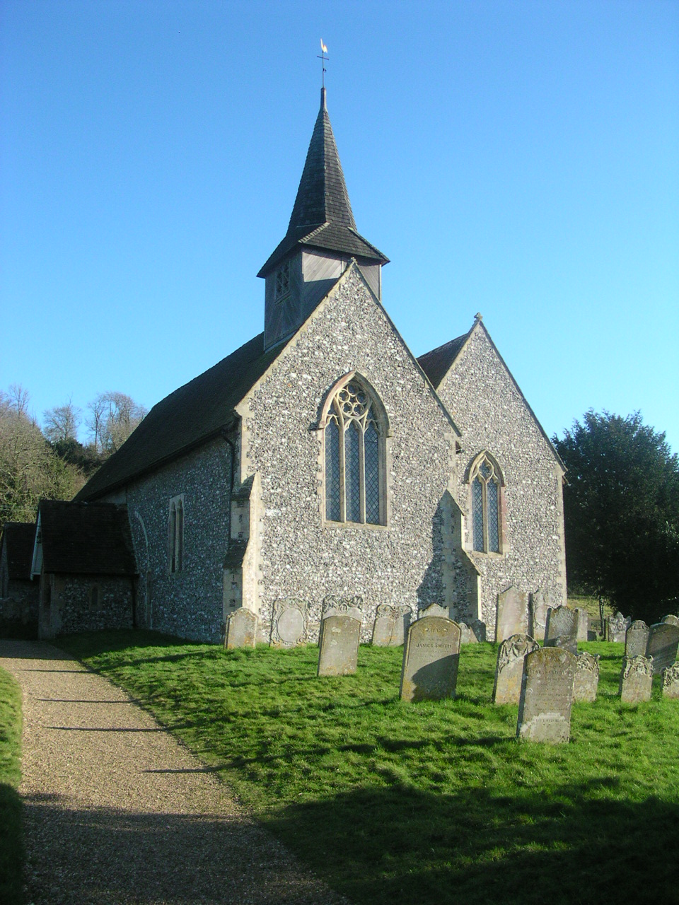
South Downs Images
Images are sourced within 2km of 50.919511/-0.86700419 or Grid Reference SU7913. Thanks to Geograph Open Source API. All images are credited.


South Downs is located at Grid Ref: SU7913 (Lat: 50.919511, Lng: -0.86700419)
Administrative County: West Sussex
District: Chichester
Police Authority: Sussex
What 3 Words
///nametag.admit.warbler. Near South Harting, West Sussex
Nearby Locations
Related Wikis

Up Marden
Up Marden is a small village and former civil parish, now in the parish of Compton, in the Chichester district of West Sussex, England. It is on the South...

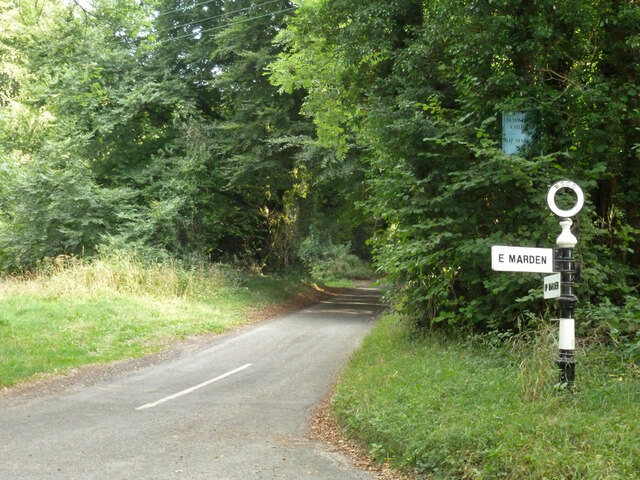
East Marden
East Marden is a village and former civil parish, now in the parish of Marden, in the Chichester district of West Sussex, England. It is on the spur of...

Marden, West Sussex
Marden is a civil parish in the Chichester district of West Sussex, England. It lies on the South Downs and comprises the villages of North Marden and...

River Ems (Chichester Harbour)
The River Ems is a much-sluiced, six miles (9.7 km) river that is located in the far west of the county of West Sussex, England.The last one and a half...
Compton, West Sussex
Compton is a village and civil parish in the Chichester district of West Sussex. The village lies on the B2146 road, six miles (9.7 km) southeast of Petersfield...

West Marden
West Marden is a hamlet in the Chichester district of West Sussex, England. It lies on the B2146 road 5 miles (8.2 km) north of Emsworth. It is in the...

North Marden
North Marden is a tiny village and former civil parish, now in the parish of Marden, in the Chichester district of West Sussex, England. It is 7.5 miles...
Stoughton, West Sussex
Stoughton is a village and civil parish in the District of Chichester in West Sussex, England located nine kilometres (5.6 miles) north west of Chichester...
Nearby Amenities
Located within 500m of 50.919511,-0.86700419Have you been to South Downs?
Leave your review of South Downs below (or comments, questions and feedback).