Blinkard Copse
Wood, Forest in Sussex Chichester
England
Blinkard Copse

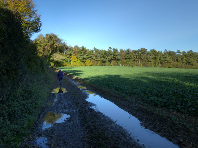
Blinkard Copse, located in Sussex, England, is a picturesque woodland area known for its natural beauty and rich biodiversity. This enchanting forest covers an approximate area of 50 hectares and is a popular destination for nature enthusiasts and hikers.
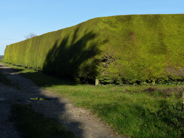
The copse is predominantly composed of native tree species such as oak, beech, and ash, which tower above the forest floor, creating a dense canopy that provides shade and shelter for a variety of flora and fauna. The woodland floor is carpeted with a diverse range of wildflowers, including bluebells, wood anemones, and primroses, which bloom in vibrant colors during the spring months, attracting a plethora of insects and butterflies.
Birdsong fills the air as Blinkard Copse is home to a wide array of avian species. Visitors may spot great spotted woodpeckers, tawny owls, and various warblers within the forest's boundaries. Additionally, the copse serves as a habitat for numerous mammals, including foxes, badgers, and deer, which are occasionally seen grazing or foraging in the undergrowth.
The copse offers several well-maintained walking trails, allowing visitors to explore its natural wonders. These paths wind through the forest, leading to tranquil ponds, babbling brooks, and hidden clearings where visitors can immerse themselves in the peaceful ambiance of the woodland.
Blinkard Copse, with its captivating scenery and diverse wildlife, offers a serene escape from the bustling city life, providing a perfect retreat for those seeking solace amidst nature's splendor.
If you have any feedback on the listing, please let us know in the comments section below.
Blinkard Copse Images
Images are sourced within 2km of 50.91732/-0.86641722 or Grid Reference SU7913. Thanks to Geograph Open Source API. All images are credited.


Blinkard Copse is located at Grid Ref: SU7913 (Lat: 50.91732, Lng: -0.86641722)
Administrative County: West Sussex
District: Chichester
Police Authority: Sussex
What 3 Words
///comment.ooze.recoup. Near South Harting, West Sussex
Nearby Locations
Related Wikis

Up Marden
Up Marden is a small village and former civil parish, now in the parish of Compton, in the Chichester district of West Sussex, England. It is on the South...

East Marden
East Marden is a village and former civil parish, now in the parish of Marden, in the Chichester district of West Sussex, England. It is on the spur of...

Marden, West Sussex
Marden is a civil parish in the Chichester district of West Sussex, England. It lies on the South Downs and comprises the villages of North Marden and...

River Ems (Chichester Harbour)
The River Ems is a much-sluiced, six miles (9.7 km) river that is located in the far west of the county of West Sussex, England.The last one and a half...
Nearby Amenities
Located within 500m of 50.91732,-0.86641722Have you been to Blinkard Copse?
Leave your review of Blinkard Copse below (or comments, questions and feedback).