Lineholt

Settlement in Worcestershire Wychavon

England

Lineholt

Minor path in Shrawley woods with Bluebells and Ramsons
Minor path in Shrawley woods with Bluebells and Ramsons Credit: Jeff Gogarty

Lineholt is a small rural village located in the county of Worcestershire, England. Situated approximately 4 miles southwest of the town of Kidderminster, Lineholt is nestled in the beautiful countryside of the Severn Valley.

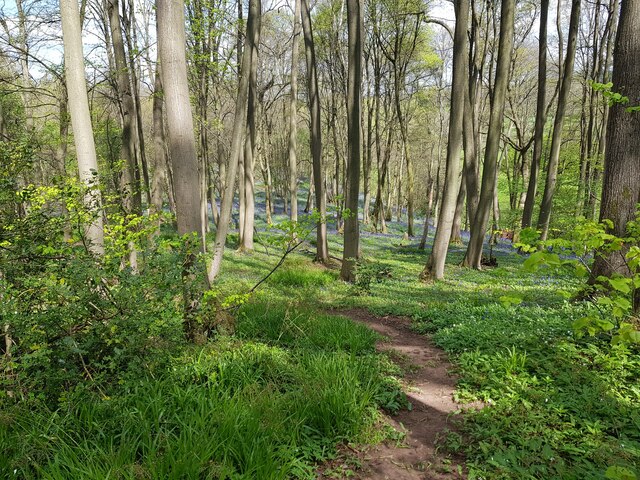
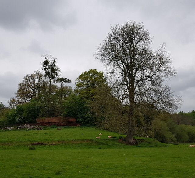
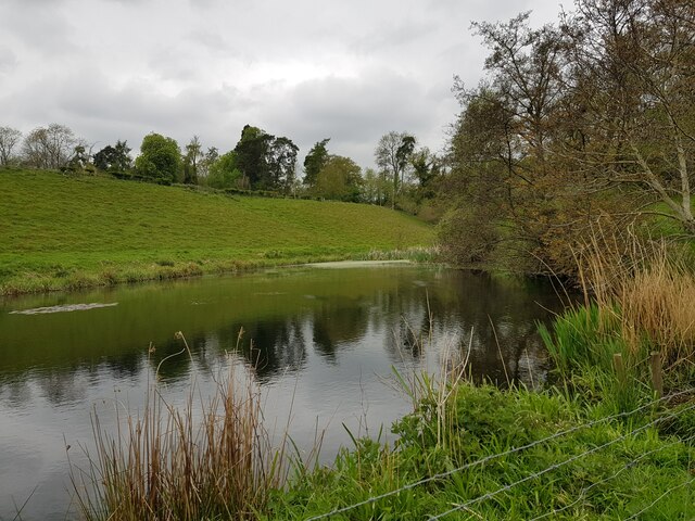
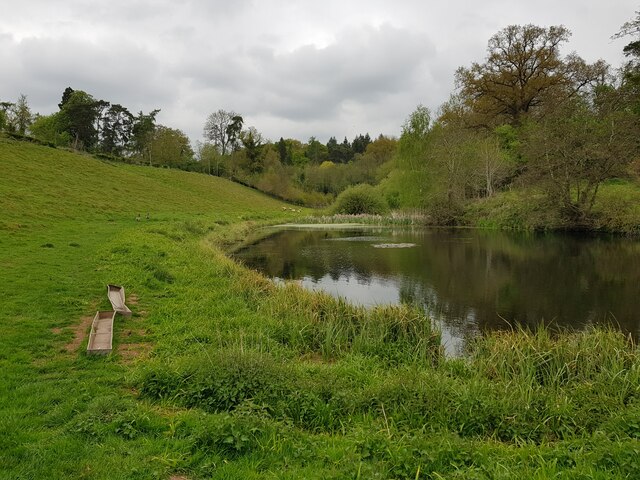
The village is characterized by its picturesque landscapes and tranquil surroundings. It is surrounded by rolling hills, meadows, and woodlands, offering residents and visitors ample opportunities for outdoor activities such as hiking, cycling, and horseback riding. The nearby River Severn also provides a scenic backdrop for leisurely walks and fishing.

Lineholt has a close-knit community, with a population of around 500 residents. The village is primarily residential, boasting a range of charming period cottages and houses, some of which date back to the 17th century. The architecture reflects the area's rich history and traditional English countryside charm.

Despite its small size, Lineholt is well-connected to the surrounding areas. The A449 road runs nearby, providing easy access to Kidderminster, Worcester, and other nearby towns. The village is also serviced by a regular bus service, offering convenient transportation options for residents.

While Lineholt lacks its own amenities such as shops and schools, residents can find all necessary facilities in the nearby towns. Kidderminster, in particular, offers a wide range of shopping, educational, and recreational facilities.

Overall, Lineholt offers a peaceful and idyllic place to live, surrounded by stunning natural beauty and a tight-knit community spirit.

If you have any feedback on the listing, please let us know in the comments section below.
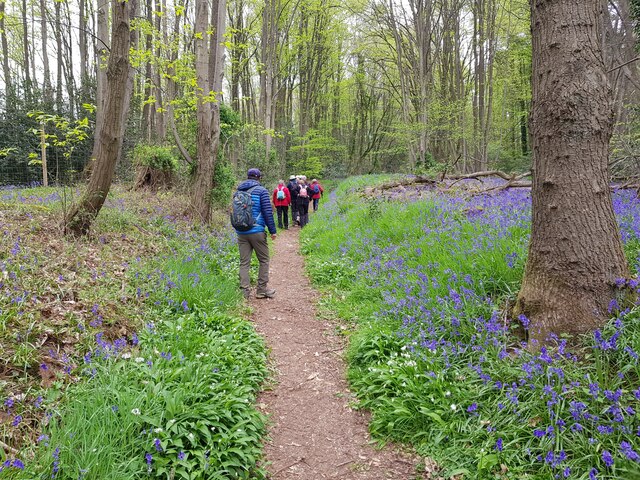
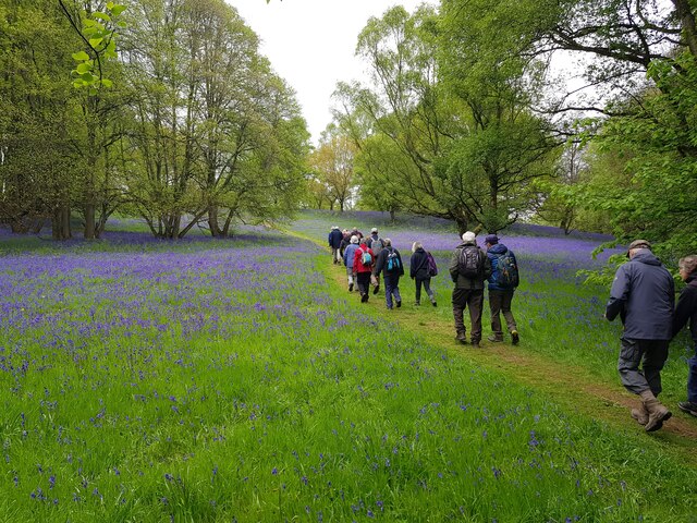
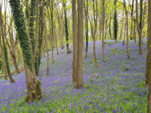
Lineholt Images

Images are sourced within 2km of 52.296314/-2.257311 or Grid Reference SO8266. Thanks to Geograph Open Source API. All images are credited.

Minor path in Shrawley woods with Bluebells and Ramsons
Oliver's Mound, Shrawley Woods
Pond near Oliver's Mound, Shrawley Woods
Pond near Oliver's Mound, Shrawley Woods (2)
New Pool, Shrawley Woods
Walkers in Shrawley Woods admiring the bluebells
Bluebells in Shrawley Woods
Walkers amongst the bluebells, Shrawley Wood
Slope of bluebells, Shrawley Woods
Sequoiadendron Wellingtonia At a crossroads of trails in Shrawley Woods.
Sequoiadendron Wellingtonia
At a crossroads of trails in Shrawley Woods.
Ombersley Golf Club Clubhouse (1), Bishops Wood Road, near Ombersley, Worcs The club was developed by a local farming family who continue to run it. The course opened in late 1991. The impressive Clubhouse includes a bar and restaurant which is open to the public, including those who do not play golf.  There is a large car park in front with access from Bishops Wood Road.

<a href="https://www.geograph.org.uk/photo/7436394">SO8267 : Ombersley Golf Club Clubhouse (2), Bishops Wood Road, near Ombersley, Worcs</a>.
Ombersley Golf Club Clubhouse (1), Bishops Wood Road, near Ombersley, Worcs
The club was developed by a local farming family who continue to run it. The course opened in late 1991. The impressive Clubhouse includes a bar and restaurant which is open to the public, including those who do not play golf. There is a large car park in front with access from Bishops Wood Road. SO8267 : Ombersley Golf Club Clubhouse (2), Bishops Wood Road, near Ombersley, Worcs.
Plough in front of Clubhouse, Ombersley Golf Club, near Ombersley, Worcs The Ombersley Golf Club is located in a very rural area and on former farmland. The plough is a symbol of this.

<a href="https://www.geograph.org.uk/photo/7436273">SO8367 : Ombersley Golf Club Clubhouse (1), Bishops Wood Road, near Ombersley, Worcs</a>.
<a href="https://www.geograph.org.uk/photo/7436394">SO8267 : Ombersley Golf Club Clubhouse (2), Bishops Wood Road, near Ombersley, Worcs</a>.
Plough in front of Clubhouse, Ombersley Golf Club, near Ombersley, Worcs
The Ombersley Golf Club is located in a very rural area and on former farmland. The plough is a symbol of this. SO8367 : Ombersley Golf Club Clubhouse (1), Bishops Wood Road, near Ombersley, Worcs. SO8267 : Ombersley Golf Club Clubhouse (2), Bishops Wood Road, near Ombersley, Worcs.
Ombersley Golf Club Clubhouse (2), Bishops Wood Road, near Ombersley, Worcs The clubhouse includes a bar and restaurant and an extensively stocked golf shop.

<a href="https://www.geograph.org.uk/photo/7436273">SO8367 : Ombersley Golf Club Clubhouse (1), Bishops Wood Road, near Ombersley, Worcs</a>.
Ombersley Golf Club Clubhouse (2), Bishops Wood Road, near Ombersley, Worcs
The clubhouse includes a bar and restaurant and an extensively stocked golf shop. SO8367 : Ombersley Golf Club Clubhouse (1), Bishops Wood Road, near Ombersley, Worcs.
Path by Ombersley Golf Course Clubhouse to Driving Range, near Ombersley, Worcs The path leads to the Driving Range, which is the green building in the distance.
Path by Ombersley Golf Course Clubhouse to Driving Range, near Ombersley, Worcs
The path leads to the Driving Range, which is the green building in the distance.
Golf buggies at Ombersley Golf Club, Bishops Wood Road, near Ombersley, Worcs Golf buggies (a.k.a. golf carts) parked near the Clubhouse.
Golf buggies at Ombersley Golf Club, Bishops Wood Road, near Ombersley, Worcs
Golf buggies (a.k.a. golf carts) parked near the Clubhouse.
Driving range (1) at Ombersley Golf Course, near Ombersley, Worcs The driving range is a facility where golfers can practice their golf swing.

<a href="https://www.geograph.org.uk/photo/7437813">SO8267 : Driving range (2) at Ombersley Golf Course, near Ombersley, Worcs</a>.
<a href="https://www.geograph.org.uk/photo/7439298">SO8267 : Area in front of Driving Range, Ombersley Golf Course, near Ombersley, Worcs</a>.
Driving range (1) at Ombersley Golf Course, near Ombersley, Worcs
Driving range (2) at Ombersley Golf Course, near Ombersley, Worcs Part of the covered driving range at Ombersley Golf Club.

See also:-  <a href="https://www.geograph.org.uk/photo/7437795">SO8267 : Driving range (1) at Ombersley Golf Course, near Ombersley, Worcs</a>.
Driving range (2) at Ombersley Golf Course, near Ombersley, Worcs
Part of the covered driving range at Ombersley Golf Club. See also:- SO8267 : Driving range (1) at Ombersley Golf Course, near Ombersley, Worcs.
Area in front of Driving Range, Ombersley Golf Course, near Ombersley, Worcs The balls from the Driving Range land in this area, which was photographed from the Range. Looking at the photograph enlarged, there are dozens and dozens of balls which at some stage, after play, would have to be collected.

<a href="https://www.geograph.org.uk/photo/7437795">SO8267 : Driving range (1) at Ombersley Golf Course, near Ombersley, Worcs</a>.
Area in front of Driving Range, Ombersley Golf Course, near Ombersley, Worcs
The balls from the Driving Range land in this area, which was photographed from the Range. Looking at the photograph enlarged, there are dozens and dozens of balls which at some stage, after play, would have to be collected. SO8267 : Driving range (1) at Ombersley Golf Course, near Ombersley, Worcs.
Show me another place!

Lineholt is located at Grid Ref: SO8266 (Lat: 52.296314, Lng: -2.257311)

Administrative County: Worcestershire

District: Wychavon

Police Authority: West Mercia

What 3 Words

///innovate.blocks.forks. Near Hartlebury, Worcestershire

Nearby Locations

Lineholt

Related Wikis

Dick Brook

Dick Brook is small tributary stream of the River Severn that flows through Worcestershire, England.The brook is formed from two small unnamed streams...

Dunhampton

Dunhampton is a village in Worcestershire, England.

Astley Burf

Astley Burf is a hamlet in the parish of Astley, Worcestershire, England, on the banks of the River Severn. Within the hamlet there is one riverside public...

Shrawley

Shrawley is a village and civil parish in the Malvern Hills District in the county of Worcestershire, England. The village is situated on the western bank...

Crossway Green

Crossway Green is a village in Worcestershire, England.

Frog Pool

Frog Pool is a hamlet within the civil parish of Shrawley in Worcestershire, England. == References ==

Noutard's Green

Noutard's Green is a hamlet within the civil parish of Shrawley in Worcestershire, England. == References ==

Ombersley and Doverdale

Ombersley and Doverdale is an area in Wychavon district, Worcestershire, England served by a single parish council but comprising the two separate civil...

Nearby Amenities

Located within 500m of 52.296314,-2.257311
Power: tower
Lat/Long: 52.2968971/-2.2644301
Post Box
Fixme: Have to go and check is still there and get rest of data.
Post Box Type: lamp
Ref: WR9 361
Source: memory
Source Ref: conjecture
Lat/Long: 52.2965786/-2.2541548
Marker: post
Operator: CLH
Operator Old: GPSS
Ref GPSS: 17266
Source: survey
Utility: oil
Lat/Long: 52.2961942/-2.2630513
Marker: pedestal
Operator: CLH
Operator Old: GPSS
Ref: CP 4681
Source: survey
Utility: oil
Lat/Long: 52.2963097/-2.2630274
Marker: pedestal
Operator: CLH
Operator Old: GPSS
Ref: CP 4682
Source: survey
Utility: oil
Lat/Long: 52.2962639/-2.2630353
Marker: aerial
Operator: CLH
Operator Old: GPSS
Ref: MP 3004
Ref GPSS: 17299
Source: survey
Utility: oil
Lat/Long: 52.2960831/-2.2630743
Power: pole
Lat/Long: 52.2994491/-2.261931
Wyneyards
Power: pole
Transformer: distribution
Voltage Primary: 11000
Lat/Long: 52.2996016/-2.2604397
Wyneyards Cottage
Power: pole
Transformer: distribution
Voltage Primary: 11000
Lat/Long: 52.2961578/-2.2625761
Power: pole
Lat/Long: 52.2967458/-2.2623709
Power: pole
Lat/Long: 52.2969829/-2.2622797
Power: pole
Lat/Long: 52.2979859/-2.2619002
Power: pole
Lat/Long: 52.2988578/-2.2610365
Power: pole
Lat/Long: 52.2992047/-2.2606784
Power: pole
Lat/Long: 52.2996295/-2.2602211
Power: pole
Lat/Long: 52.2997197/-2.2594124
Power: pole
Lat/Long: 52.2998165/-2.258487
Power: pole
Lat/Long: 52.2996549/-2.2568469
Power: pole
Lat/Long: 52.2994983/-2.2552255
Power: pole
Lat/Long: 52.2994474/-2.2547011
Power: pole
Lat/Long: 52.2993412/-2.2536141
Merryvalls Farm
Power: pole
Transformer: distribution
Voltage Primary: 11000
Lat/Long: 52.2992022/-2.2521644
Power: pole
Lat/Long: 52.2991497/-2.2516461
Power: pole
Lat/Long: 52.2979539/-2.2509366
Power: pole
Lat/Long: 52.2981303/-2.2509004
Merryvalls
Power: pole
Transformer: distribution
Voltage Primary: 11000
Lat/Long: 52.2974487/-2.2510238
Power: pole
Lat/Long: 52.2970321/-2.2516219
Power: pole
Lat/Long: 52.2958075/-2.2504659
Power: pole
Lat/Long: 52.2963103/-2.251571
Power: pole
Lat/Long: 52.296321/-2.2526371
Power: pole
Lat/Long: 52.2958371/-2.2533171
The Forge
Power: pole
Transformer: distribution
Voltage Primary: 11000
Lat/Long: 52.2955024/-2.2537892
Power: pole
Lat/Long: 52.2951743/-2.2542022
Power: pole
Lat/Long: 52.2947987/-2.2546689
Power: pole
Lat/Long: 52.2944353/-2.2551356
Lineholt
Power: pole
Transformer: distribution
Voltage Primary: 11000
Lat/Long: 52.2940834/-2.2555688
Power: pole
Lat/Long: 52.2936586/-2.2557284
Power: pole
Lat/Long: 52.2932648/-2.2558665
Power: pole
Lat/Long: 52.2928441/-2.256006
Power: pole
Lat/Long: 52.2922568/-2.2561683
The data included in this document is from www.openstreetmap.org. The data is made available under ODbL.

Have you been to Lineholt?

Leave your review of Lineholt below (or comments, questions and feedback).