Tunstall Hills
Range Of Mountains, Range Of Hills in Durham
England
Tunstall Hills

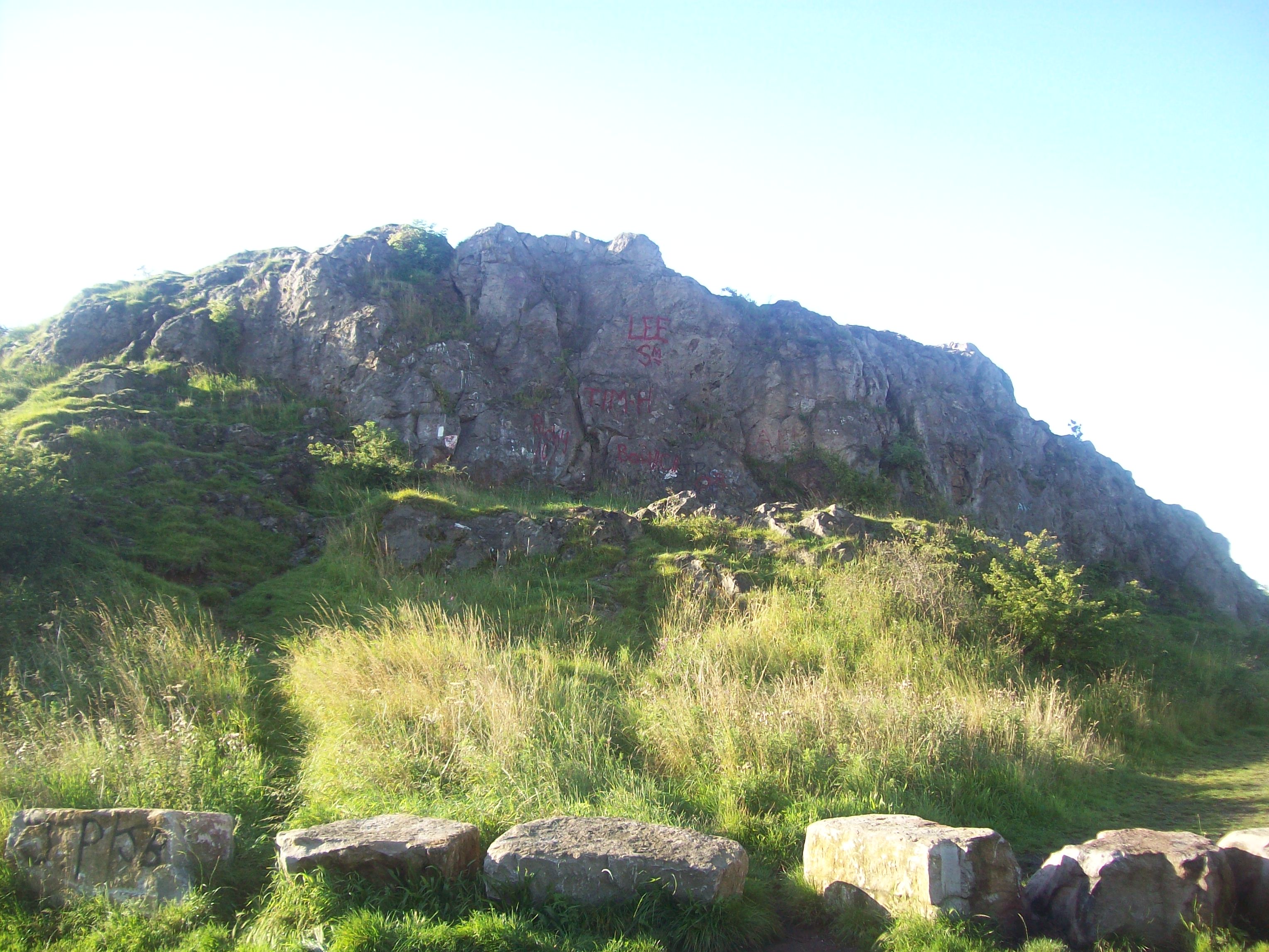
Tunstall Hills, located in Durham, England, is a range of hills that stretches approximately 1.6 kilometers in length. These hills, often referred to as a range of mountains, offer a picturesque and scenic landscape, attracting both locals and visitors alike.
The Tunstall Hills are composed of limestone and sandstone, resulting in a unique geological formation. The hills are known for their distinctive shape, with a series of peaks and slopes that create a stunning visual panorama. The highest point within the range is approximately 85 meters above sea level, providing visitors with a breathtaking view of the surrounding area.
The hills boast a diverse range of flora and fauna, making it an ideal destination for nature enthusiasts. The slopes are covered in a variety of grasses, wildflowers, and shrubs, which provide a habitat for numerous species of birds, mammals, and insects. The area is also home to several rare and protected species, making it an important conservation site.
Tunstall Hills holds historical significance as well. It is believed that the site has been inhabited since ancient times, with archaeological evidence suggesting human activity dating back to the Neolithic period. Ruins of an Iron Age fort can still be seen on the hills, serving as a reminder of its rich history.
The hills are accessible to the public and offer various walking trails, allowing visitors to explore the natural beauty of the area. Whether it's enjoying a peaceful hike or simply taking in the stunning views, Tunstall Hills provides an unforgettable experience for nature lovers and history enthusiasts alike.
If you have any feedback on the listing, please let us know in the comments section below.
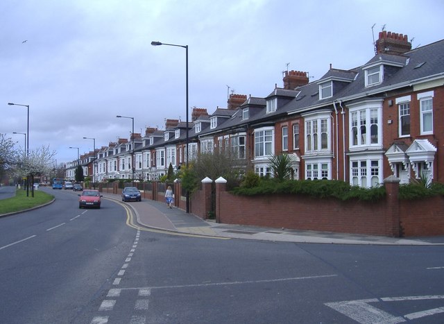
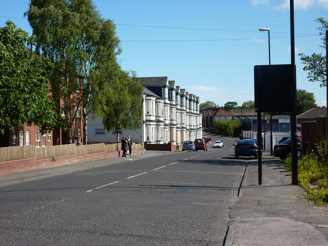
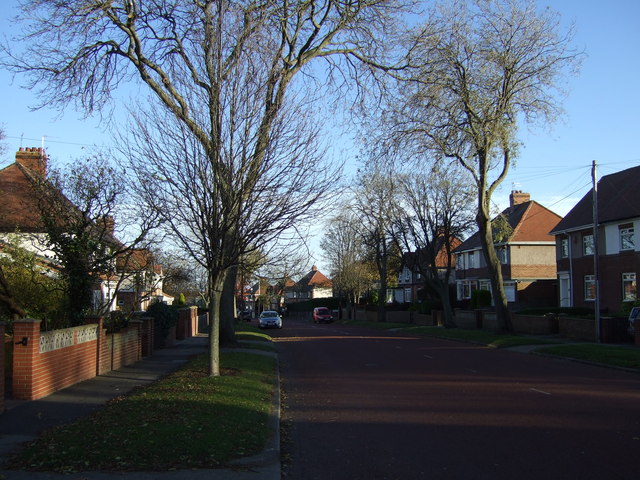
Tunstall Hills Images
Images are sourced within 2km of 54.882459/-1.3895124 or Grid Reference NZ3954. Thanks to Geograph Open Source API. All images are credited.


Tunstall Hills is located at Grid Ref: NZ3954 (Lat: 54.882459, Lng: -1.3895124)
Unitary Authority: Sunderland
Police Authority: Northumbria
What 3 Words
///levels.ties.cafe. Near Ryhope, Tyne & Wear
Nearby Locations
Related Wikis
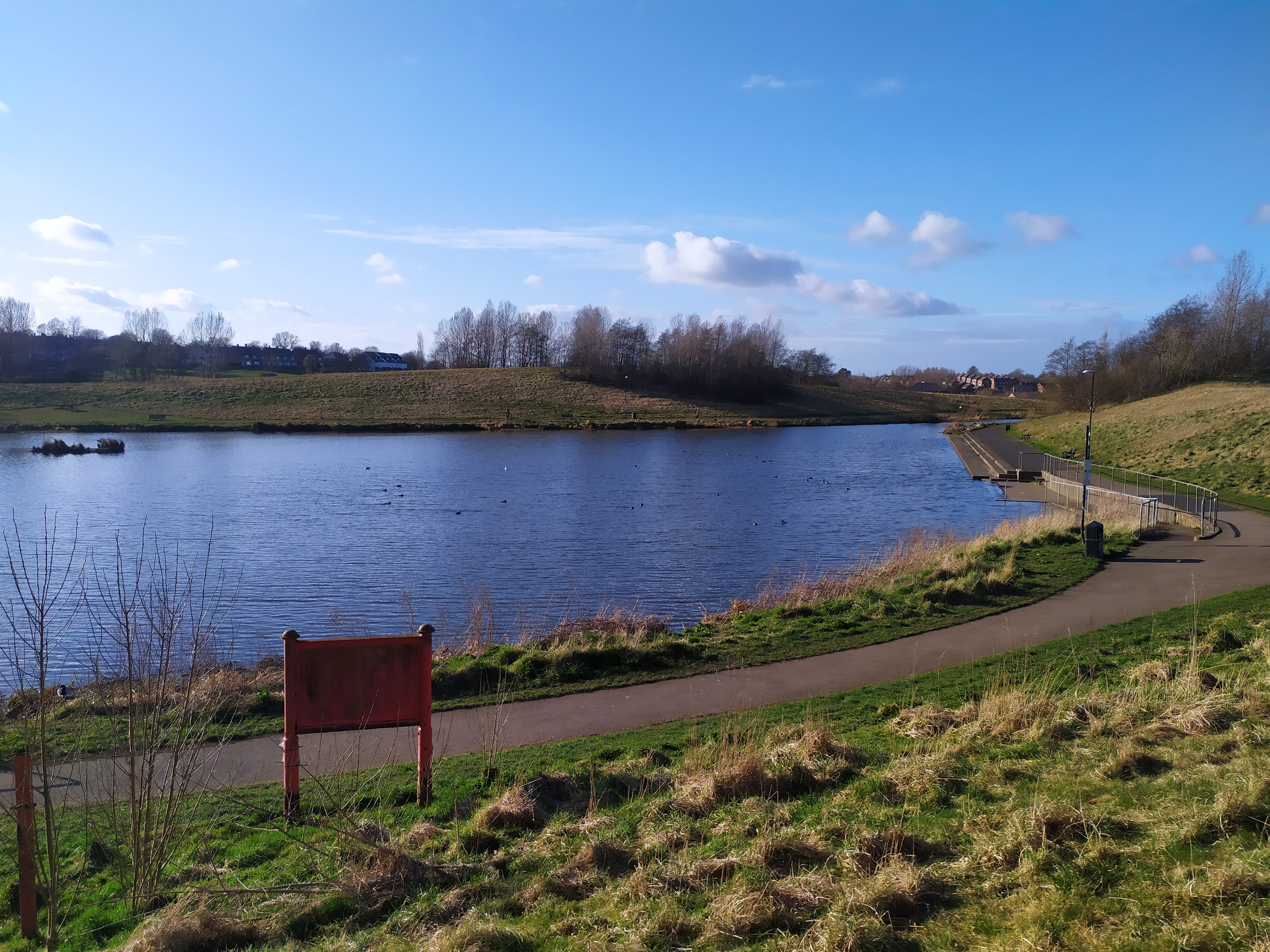
Tunstall Hills
Tunstall Hills is an area of open space in Sunderland, Tyne and Wear, England. It is a Local Nature Reserve and Tunstall Hills And Ryhope Cutting has been...
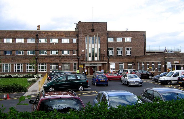
Sunderland Eye Infirmary
The Sunderland Eye Infirmary is a health facility in Sunderland, Tyne and Wear. It is managed by the South Tyneside and Sunderland NHS Foundation Trust...

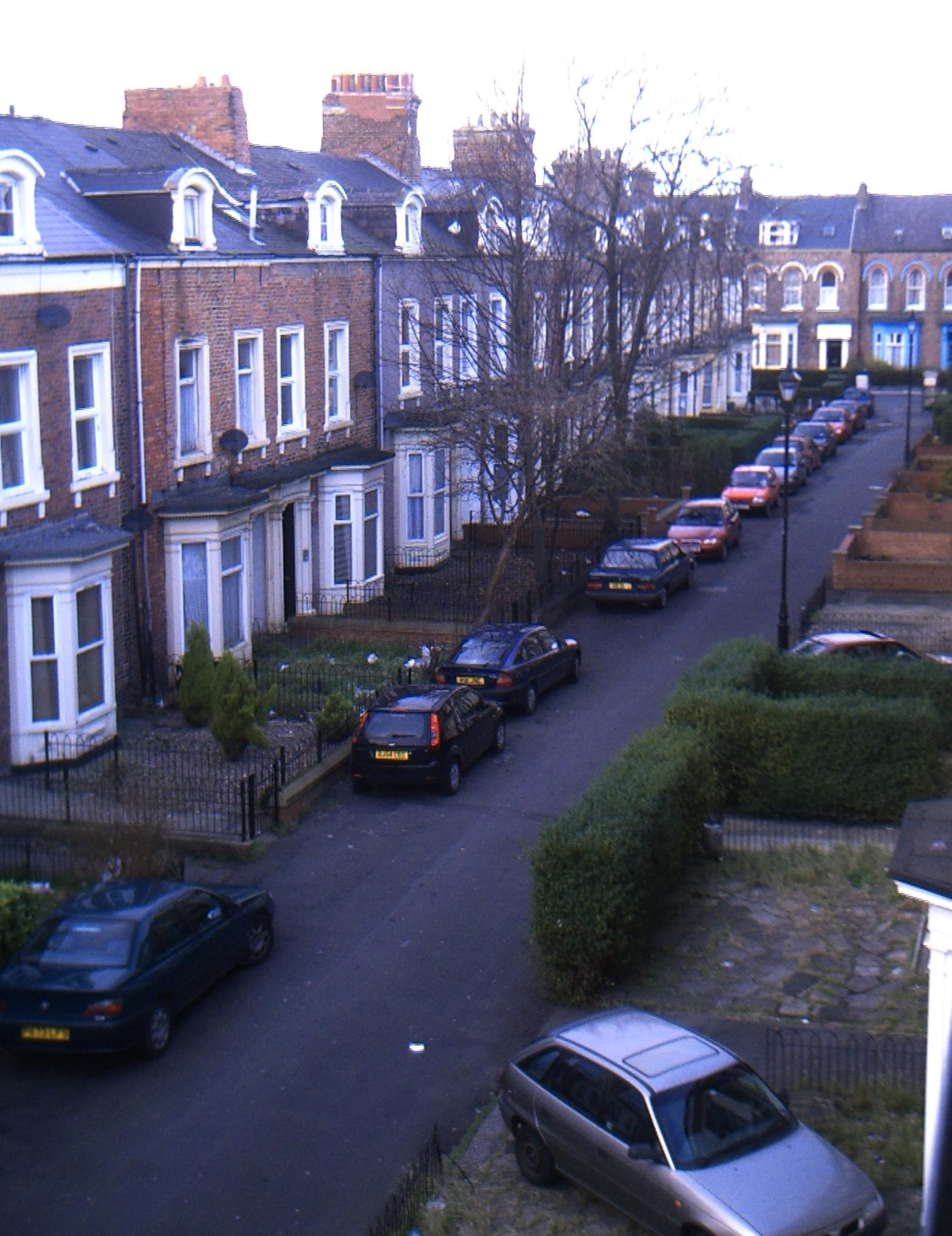
Tunstall, Sunderland
Tunstall is a suburb of Sunderland, Tyne and Wear, England which is mostly a privately purchased estate. It is located to the west of Ryhope, and east...

Sunderland South (UK Parliament constituency)
Sunderland South was, from 1950 until 2010, a constituency represented in the House of Commons of the Parliament of the United Kingdom. It elected one...
St Aidan's Catholic Academy
St Aidan's Catholic Academy (formerly St Aidan's Catholic School) is a Roman Catholic boys' secondary school and sixth form with academy status, situated...
Southmoor Academy
Southmoor Academy (formerly Southmoor Community School) is a coeducational secondary school and sixth form located in the Grangetown area of Sunderland...
New Silksworth
Silksworth is a suburb of the City of Sunderland, Tyne and Wear. The area can be distinguished into two parts, old Silksworth, the original village and...
Ashbrooke
Ashbrooke is a residential area of Sunderland, North East England directly south and south-west of the city centre. Ashbrooke developed through the Victorian...
Nearby Amenities
Located within 500m of 54.882459,-1.3895124Have you been to Tunstall Hills?
Leave your review of Tunstall Hills below (or comments, questions and feedback).