Alnwick Moor
Range Of Mountains, Range Of Hills in Northumberland
England
Alnwick Moor

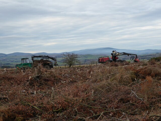
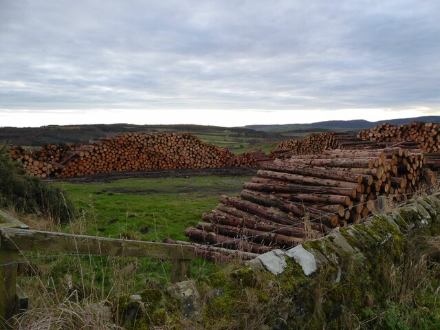
Alnwick Moor is a vast expanse of land located in the county of Northumberland, England. Covering an area of approximately 3,000 acres, it is situated approximately 3 miles to the northwest of the town of Alnwick. The moor is part of the larger Alnwick Moor House-Heads NNR (National Nature Reserve) and is known for its outstanding natural beauty and diverse wildlife.
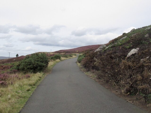
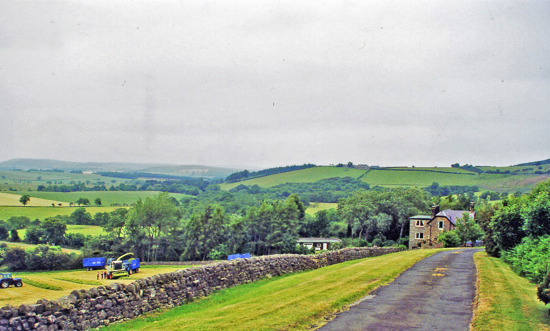
The terrain of Alnwick Moor is predominantly characterized by rolling hills and open grassland, interspersed with patches of heather, gorse, and scattered trees. It is surrounded by the Cheviot Hills to the west and the Northumberland Coast Area of Outstanding Natural Beauty to the east, providing stunning views from various vantage points.
The moorland is home to a rich array of flora and fauna, with several species of birds, mammals, and insects inhabiting the area. Rare and endangered species such as the red squirrel and the curlew can be spotted here, making it a popular destination for birdwatchers and nature enthusiasts.
Alnwick Moor also possesses historical significance, with evidence of human occupation dating back to the Bronze Age. Archaeological sites such as cup and ring marked stones, cairns, and burial mounds can be found scattered across the moor, offering glimpses into the region's ancient past.
Visitors to Alnwick Moor can enjoy a range of activities, including walking, hiking, and picnicking. The moor is crisscrossed by a network of footpaths and trails, allowing visitors to explore its diverse landscapes and soak in the tranquility of the surroundings.
Overall, Alnwick Moor in Northumberland is a captivating natural landscape, offering both recreational opportunities and a chance to connect with the region's rich natural and cultural heritage.
If you have any feedback on the listing, please let us know in the comments section below.
Alnwick Moor Images
Images are sourced within 2km of 55.39488/-1.7658409 or Grid Reference NU1411. Thanks to Geograph Open Source API. All images are credited.


Alnwick Moor is located at Grid Ref: NU1411 (Lat: 55.39488, Lng: -1.7658409)
Unitary Authority: Northumberland
Police Authority: Northumbria
What 3 Words
///torches.below.efficient. Near Alnwick, Northumberland
Nearby Locations
Related Wikis

RRH Brizlee Wood
Remote Radar Head Brizlee Wood (or RRH Brizlee Wood), is an air defence radar station operated by the Royal Air Force located at Brizlee Wood, near Alnwick...

Lemmington Hall
Lemmington Hall is an 18th-century country mansion incorporating a 15th-century tower house, situated near Edlingham, Northumberland, England. It is a...

Abberwick
Abberwick is a hamlet and former civil parish near the River Aln, now in the parish of Edlingham, in the English county of Northumberland. In 1951 the...

Camphill Column, Alnwick
The Camphill Column in Alnwick, Northumberland, is a stone column erected in 1814, celebrating a number of British victories over the French and others...
Edlingham railway station
Edlingham railway station served the village of Edlingham, Northumberland, England from 1887 to 1953 on the Cornhill Branch. == History == The station...
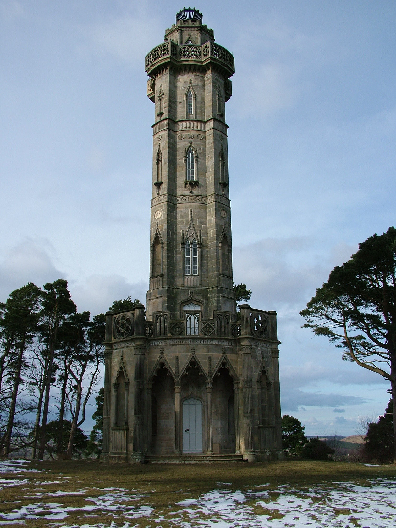
Brizlee Tower
Brizlee Tower (sometimes Brislee Tower) is a Grade 1 listed folly set atop a hill in Hulne Park, the walled home park of the Duke of Northumberland in...
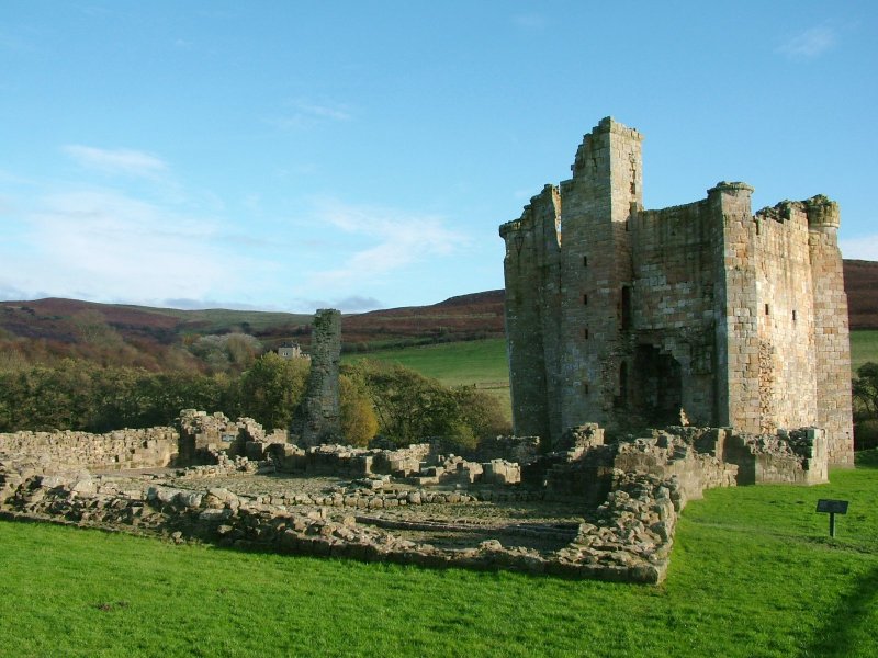
Edlingham Castle
Edlingham Castle is a small castle ruin, having scheduled monument and Grade I listed building status, in the care of English Heritage. It is located in...

Battle of Alnwick (1174)
The Battle of Alnwick (1174) is one of two battles fought near the town of Alnwick, in Northumberland, England. In the battle, which took place on 13 July...
Have you been to Alnwick Moor?
Leave your review of Alnwick Moor below (or comments, questions and feedback).