Alne Hills

Range Of Mountains, Range Of Hills in Warwickshire Stratford-on-Avon

England

Alne Hills

Track off Bearley Road, Aston Cantlow
Track off Bearley Road, Aston Cantlow Credit: Helen Steed

Alne Hills, located in Warwickshire, England, is a range of hills that spans across the northwestern part of the county. This range is characterized by its rolling landscape, with gentle slopes and picturesque views. The hills are primarily composed of limestone, which gives them a distinct pale color and provides a fertile ground for vegetation to flourish.

The highest point in the Alne Hills reaches an elevation of approximately 200 meters, making it a relatively low-lying range compared to other mountainous regions. Despite its modest height, the hills offer breathtaking vistas of the surrounding countryside. The area is dotted with small villages and farmland, adding to its rural charm.

The Alne Hills are a popular destination for outdoor enthusiasts, offering a range of recreational activities such as hiking, cycling, and horseback riding. Numerous footpaths and bridleways crisscross the hills, providing opportunities for exploration and discovery. The network of trails allows visitors to experience the diverse flora and fauna that call this area home, including wildflowers, birds, and small mammals.

In addition to its natural beauty, the Alne Hills also boast a rich historical heritage. Remnants of ancient settlements, burial mounds, and Roman roads can be found scattered throughout the region. These archaeological sites provide insights into the area's past and offer visitors a glimpse into the lives of those who once inhabited this land.

Overall, Alne Hills in Warwickshire is a picturesque range of hills that offers a tranquil escape from the hustle and bustle of urban life. Its natural beauty, recreational opportunities, and historical significance make it a truly captivating destination for visitors of all ages.

If you have any feedback on the listing, please let us know in the comments section below.
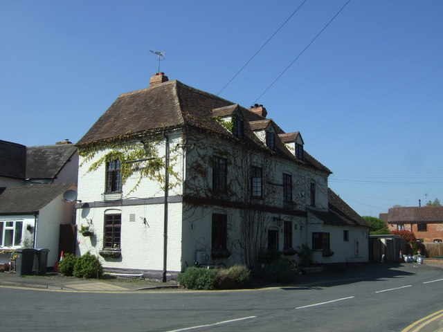
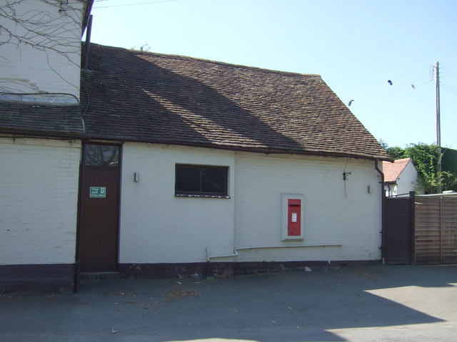
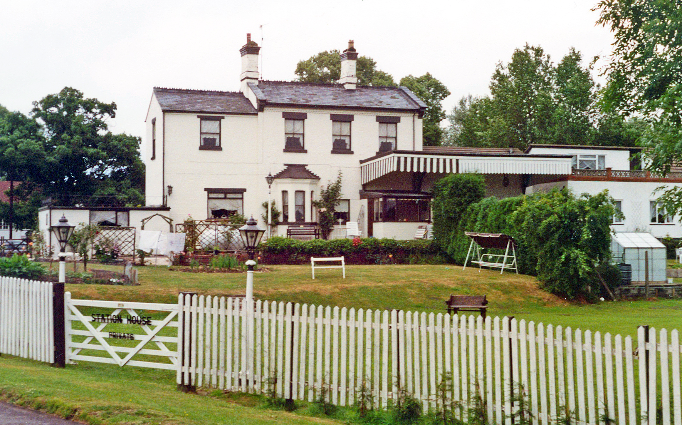
Alne Hills Images

Images are sourced within 2km of 52.245843/-1.8225716 or Grid Reference SP1260. Thanks to Geograph Open Source API. All images are credited.

Track off Bearley Road, Aston Cantlow
Bearley Road, Aston Cantlow Looking north-eastward.
Bearley Road, Aston Cantlow
Looking north-eastward.
The Huff Cap, Great Alne Sometimes called the Mother Huff Cap, this oddly-named inn, with its rambling extensions which seem to have engulfed a private house, now stands on a bend on the secondary road between Wootton Wawen and Alcester but was once an important staging post on the coach road from London to Shrewsbury.  The Victoria County History tells us that "the first record of this curious name occurs in the accounts of 1746 ... where it is given simply as 'Huff Cap' (a term for strong ale)."  The pub closed for a time in 2010; a proposal to rename it as "The Greedy Pig" was abandoned to the relief of many villagers and since then it has reopened with the signage mostly reverting to the original 18th-century version. 

See also <a href="https://www.geograph.org.uk/photo/4658219">SP1159 : Sign for the Huff Cap</a>.
The Huff Cap, Great Alne
Sometimes called the Mother Huff Cap, this oddly-named inn, with its rambling extensions which seem to have engulfed a private house, now stands on a bend on the secondary road between Wootton Wawen and Alcester but was once an important staging post on the coach road from London to Shrewsbury. The Victoria County History tells us that "the first record of this curious name occurs in the accounts of 1746 ... where it is given simply as 'Huff Cap' (a term for strong ale)." The pub closed for a time in 2010; a proposal to rename it as "The Greedy Pig" was abandoned to the relief of many villagers and since then it has reopened with the signage mostly reverting to the original 18th-century version. See also SP1159 : Sign for the Huff Cap.
Sign for the Huff Cap For the uniquely-named pub <a href="https://www.geograph.org.uk/photo/4657181">SP1159 : The Huff Cap, Great Alne</a>.
Sign for the Huff Cap
For the uniquely-named pub SP1159 : The Huff Cap, Great Alne.
Alne End
Alne End
Great Alne
Great Alne
Henley Road Great Alne
Great Alne Road to Little Alne
B4089 Road to Little Alne
Children's playground, Alne End
School Road, Alne End Looking north east.
School Road, Alne End
Looking north east.
Houses on School Road, Alne End
The Huff Cap public house, Great Alne
Sign for the Huff Cap public house, Great Alne
Spernal Lane Looking north west.
Spernal Lane
Looking north west.
Elizabeth II postbox on the Huff Cap public house, Great Alne Postbox No. B49 16.

See <a href="https://www.geograph.org.uk/photo/5359665">SP1159 : Close up, Elizabeth II postbox on the Huff Cap public house, Great Alne</a> for close up.
Elizabeth II postbox on the Huff Cap public house, Great Alne
Close up, Elizabeth II postbox on the Huff Cap public house, Great Alne Postbox No. B49 16.

See <a href="https://www.geograph.org.uk/photo/5359664">SP1159 : Elizabeth II postbox on the Huff Cap public house, Great Alne</a> for wider view.
Close up, Elizabeth II postbox on the Huff Cap public house, Great Alne
Looking north on Mill Lane Direction Aston Cantlow.
Looking north on Mill Lane
Direction Aston Cantlow.
Show me another place!

Alne Hills is located at Grid Ref: SP1260 (Lat: 52.245843, Lng: -1.8225716)

Administrative County: Warwickshire

District: Stratford-on-Avon

Police Authority: Warwickshire

What 3 Words

///muddle.handbags.rapport. Near Alcester, Warwickshire

Related Wikis

Nearby Amenities

Located within 500m of 52.245843,-1.8225716
Post Box
Collection Times: Mo-Fr 10:30; Sa 10:30
Operator: Royal Mail
Post Box Type: lamp
Ref: B50 119
Royal Cypher: EIIR
Royal Cypher Wikidata: Q33102113
Source: survey
Lat/Long: 52.2476064/-1.8284444
The data included in this document is from www.openstreetmap.org. The data is made available under ODbL.

Have you been to Alne Hills?

Leave your review of Alne Hills below (or comments, questions and feedback).