Correen Hills
Range Of Mountains, Range Of Hills in Aberdeenshire
Scotland
Correen Hills
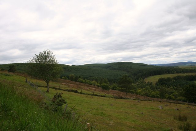
Correen Hills, located in Aberdeenshire, Scotland, is a range of mountains that stretches over a vast area. These hills are part of the Grampian Mountains, which is known for its scenic beauty and diverse wildlife. Correen Hills is situated in the eastern part of Aberdeenshire, near the towns of Ballater and Braemar.
The range of Correen Hills is characterized by its rolling terrain, with numerous peaks and valleys. The highest summit in the range is Carn Bhac, which stands at an impressive 3,243 feet (988 meters) above sea level. Other notable peaks include Beinn Iutharn Mhor and An Socach.
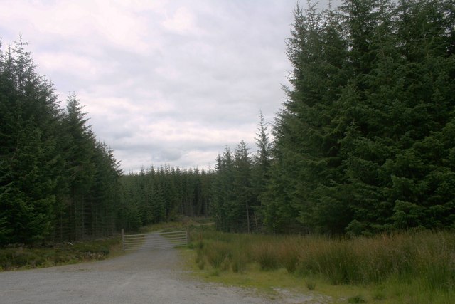
The Correen Hills offer a variety of outdoor activities for visitors. Hiking and mountaineering are popular, with a range of trails catering to different levels of fitness and experience. The hills are also home to several mountain biking trails, providing opportunities for adrenaline-fueled adventures.
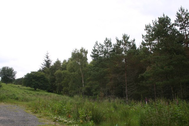
Wildlife enthusiasts will be delighted by the diverse fauna in the Correen Hills. Red deer can often be spotted roaming the slopes, while golden eagles soar high above. The range is also home to various bird species, including ptarmigans and black grouse.
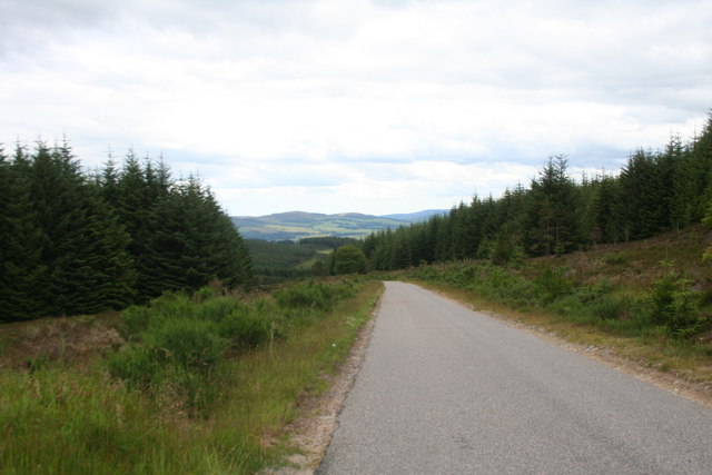
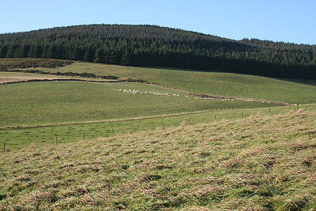
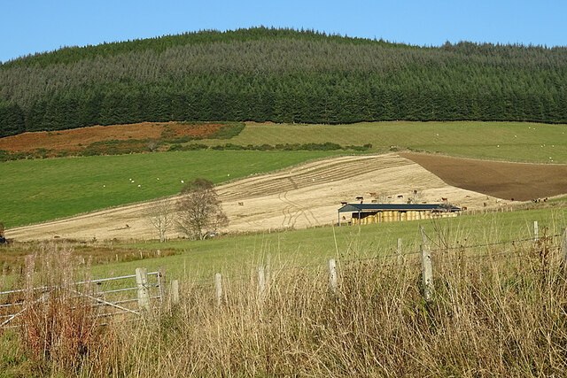
The Correen Hills are a picturesque destination, with stunning vistas of the surrounding countryside. From the peaks, visitors can enjoy panoramic views of the Cairngorms National Park and the River Dee. The region is known for its ever-changing scenery, with heather-covered moorlands in the summer and snow-capped peaks in the winter.
Overall, Correen Hills in Aberdeenshire is a haven for outdoor enthusiasts, offering a range of activities and breathtaking landscapes to explore.
If you have any feedback on the listing, please let us know in the comments section below.
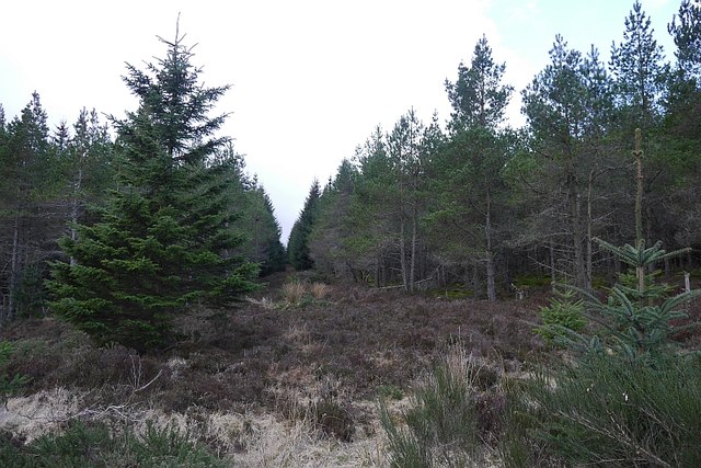
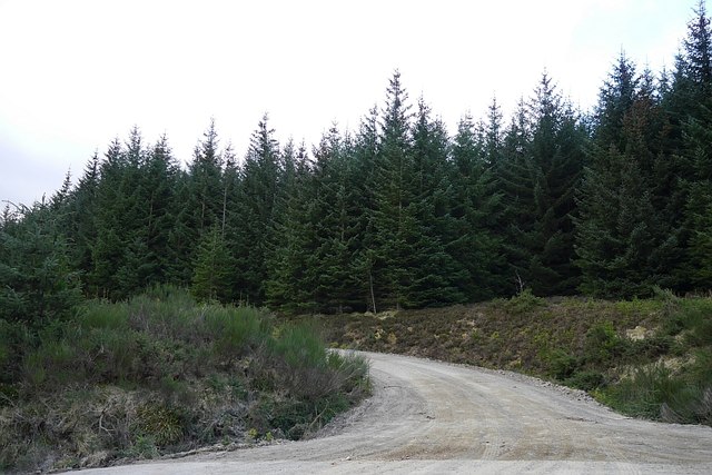
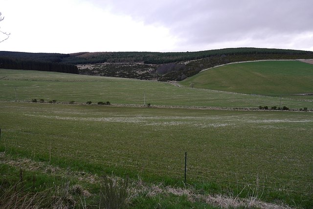
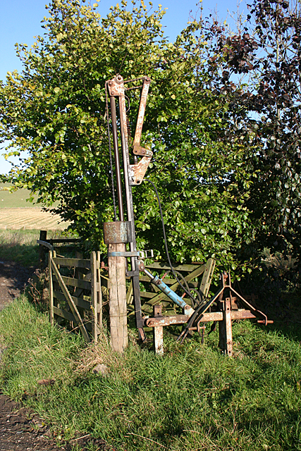
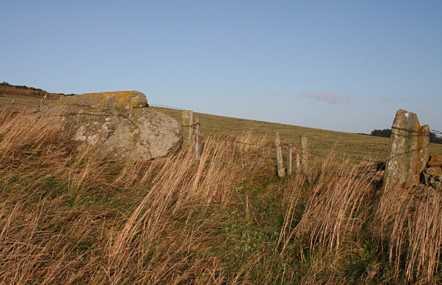
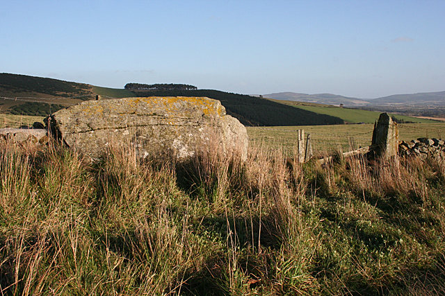
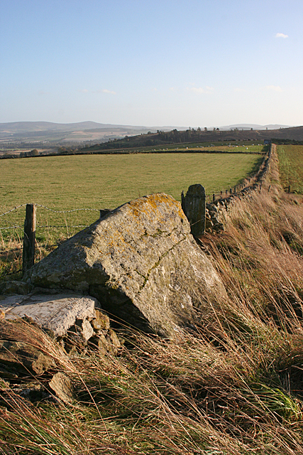
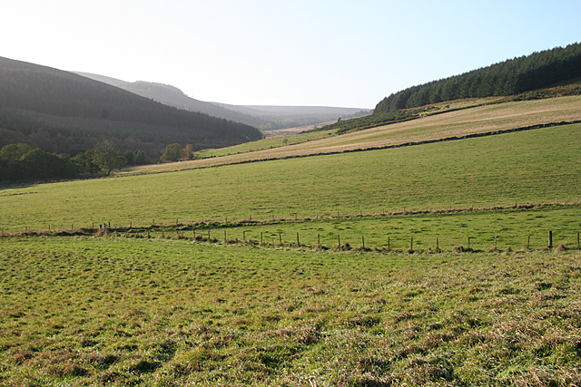
Correen Hills Images
Images are sourced within 2km of 57.282068/-2.7663976 or Grid Reference NJ5321. Thanks to Geograph Open Source API. All images are credited.


Correen Hills is located at Grid Ref: NJ5321 (Lat: 57.282068, Lng: -2.7663976)
Unitary Authority: Aberdeenshire
Police Authority: North East
What 3 Words
///tickets.twinkling.diets. Near Alford, Aberdeenshire
Nearby Locations
Related Wikis
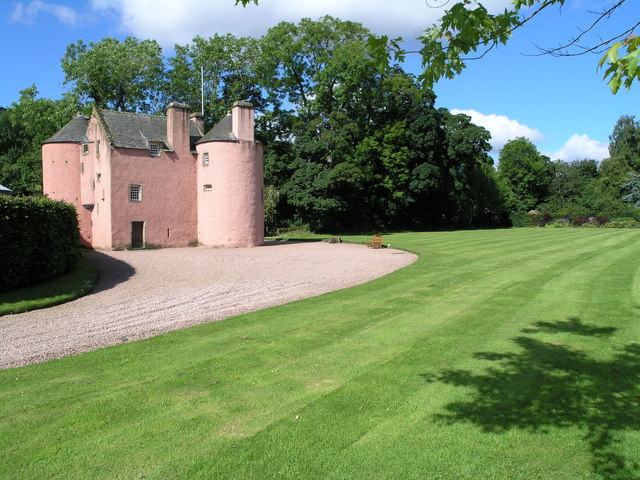
Terpersie Castle
Terpersie Castle (originally built as Dalpersie House) is a 16th-century tower house in Tullynessle, Aberdeenshire, Scotland, located 5 kilometres (3...

Tullynessle
Tullynessle is a hamlet in Aberdeenshire, Scotland, three miles NNW of Alford.The settlement contains the Category A listed Terpersie Castle, a privately...

Clatt
Clatt (Gaelic cleithe, 'concealed'), is a village in Aberdeenshire, Scotland. The remains of a morthouse are located in the cemetery of the old church...

Forbes, Aberdeenshire
Forbes is a hamlet by Tullynessle in Aberdeenshire, Scotland. It is connected to Tullynessle 1 3/4 miles from Alford. == See also == Clan Forbes ��2�...

Druminnor Castle
Druminnor Castle is an L-plan castle, dating from the early 15th century, about two miles east of Rhynnie, in a steep valley by the Keron burn, in Aberdeenshire...

Battle of Alford
The Battle of Alford was an engagement of the Scottish Civil War. It took place near the village of Alford, Aberdeenshire, on 2 July 1645. During the battle...

Bridge of Alford
Bridge of Alford is a village in Aberdeenshire, Scotland.Bridge of Alford is situated near Alford beside the bridge over the River Don. It is on the road...

Castle Croft
Castle Croft was located near New Leslie farm, about 5 kilometres (3.1 mi) south-west of Insch, in Aberdeenshire, Scotland. It was the property of the...
Nearby Amenities
Located within 500m of 57.282068,-2.7663976Have you been to Correen Hills?
Leave your review of Correen Hills below (or comments, questions and feedback).