The East Mounth
Range Of Mountains, Range Of Hills in Angus
Scotland
The East Mounth

The East Mounth is a range of mountains and hills located in Angus, Scotland. It stretches from Glen Clova in the north to Glen Esk in the south. The range is part of the Grampian Mountains, which are known for their stunning natural beauty and rich history.
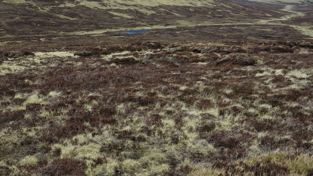
The East Mounth is characterized by its rugged terrain, with steep slopes and deep glens carved by ancient glaciers. The highest peak in the range is Mount Keen, standing at 939 meters (3,081 feet) above sea level. This makes it one of the Munros, a list of Scottish mountains over 3,000 feet in height, attracting many hikers and climbers.
The landscape of the East Mounth is diverse, with heather-covered moorlands, vast plateaus, and deep valleys. The area is home to a variety of wildlife, including red deer, mountain hares, and golden eagles. It is also rich in flora, with a range of plant species adapted to the harsh mountain environment.
The East Mounth has a long history, with evidence of human habitation dating back thousands of years. There are several ancient sites in the range, such as stone circles, cairns, and hill forts, which provide insight into the region's past. The area has also played a role in Scottish history, with battles and conflicts taking place in its valleys and passes.
Overall, the East Mounth is a picturesque and significant mountain range in Angus, Scotland. Its rugged beauty, diverse landscape, and historical importance make it a popular destination for outdoor enthusiasts and those interested in exploring Scotland's rich heritage.
If you have any feedback on the listing, please let us know in the comments section below.
The East Mounth Images
Images are sourced within 2km of 56.893323/-3.1471904 or Grid Reference NO3078. Thanks to Geograph Open Source API. All images are credited.


The East Mounth is located at Grid Ref: NO3078 (Lat: 56.893323, Lng: -3.1471904)
Unitary Authority: Angus
Police Authority: Tayside
What 3 Words
///gardens.reinvest.banter. Near Ballater, Aberdeenshire
Nearby Locations
Related Wikis
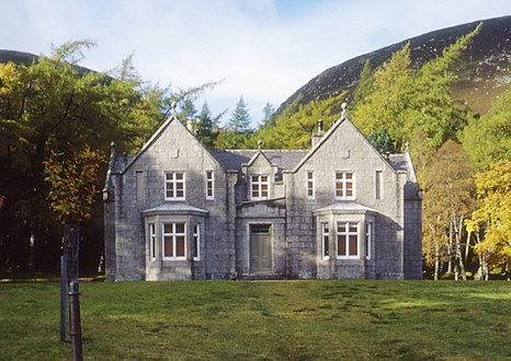
Glas-allt-Shiel
Glas-allt-Shiel is a lodge on the Balmoral Estate by the shore of Loch Muick in Aberdeenshire, Scotland. In its present form it was built in 1868 by Queen...
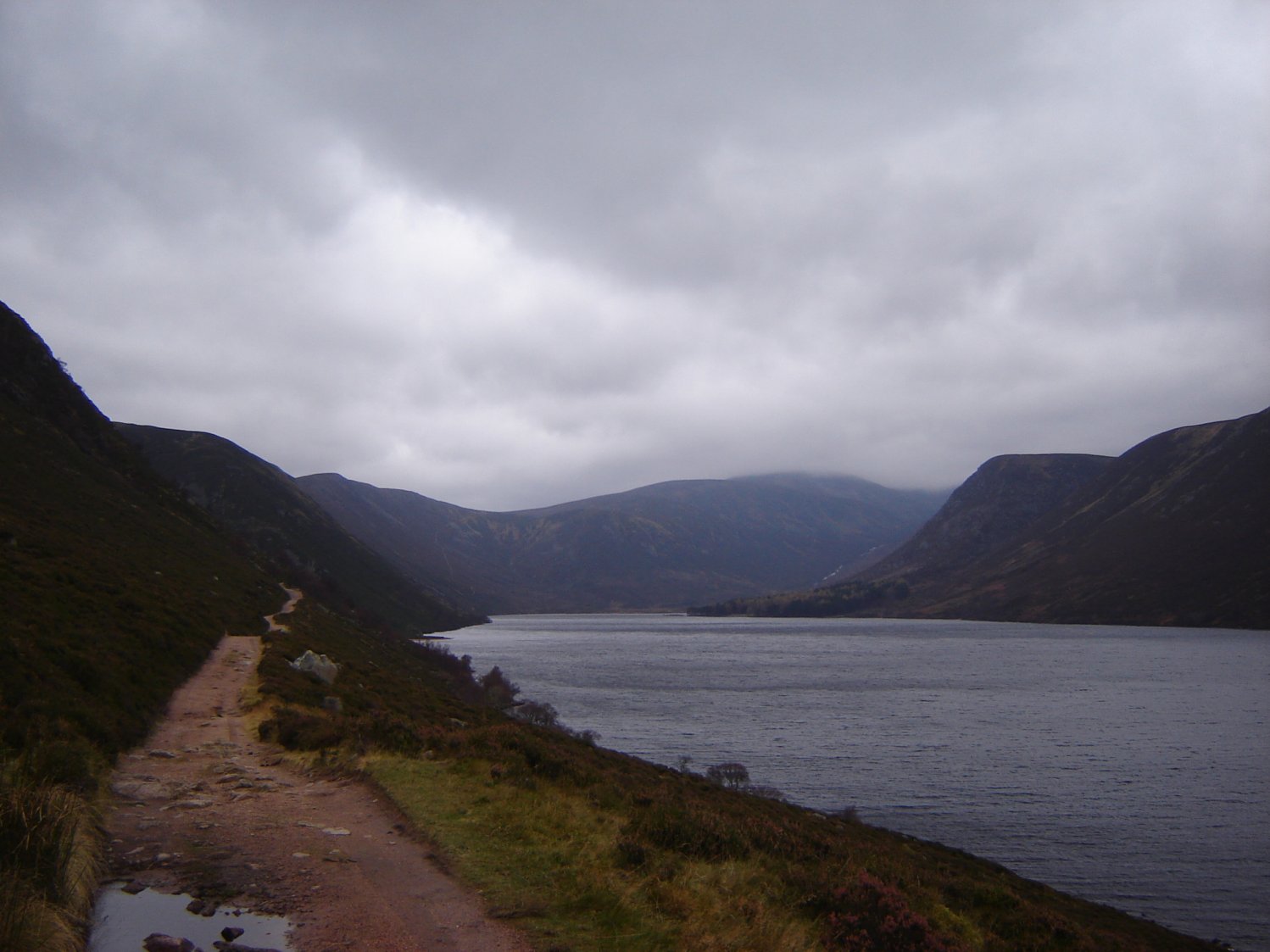
Loch Muick
Loch Muick (; Gaelic: Uisge Muice (pronounced [ɯʃkʲəˈmɯçkʲə])) is an upland, freshwater loch lying approximately 5 mi (8.0 km) south of Braemar, Scotland...

Glen Doll
Glen Doll, also sometimes spelt Glendoll, lies within the Cairngorms National Park, Scotland, at the top of Glen Clova, in an area of steep hills, corries...

Falls of Glas Allt
Falls of Glas Allt is a 50-metre (160 ft) waterfall near the head of Loch Muick, Aberdeenshire, Scotland. Queen Victoria liked to take walks here beside...

Driesh
Driesh (Gaelic: Dris) is a mountain located in the Grampians of Scotland. Apart from Mount Keen (939 m/3,080 ft), it is the most easterly of the Munro...

Clova, Angus
Clova is a village in Glen Clova, Angus, Scotland. It lies on the River South Esk, some 12 miles (19 km) north of Kirriemuir. During the 1745 Jacobite...

Corrie Fee
Corrie Fee is a glacier-carved corrie situated at the head of Glen Clova in the Angus Glens of Scotland. It forms part of Corrie Fee National Nature Reserve...

Broad Cairn
Broad Cairn is a mountain in the Grampians of Scotland, located about sixteen miles south of the River Dee near Balmoral.
Have you been to The East Mounth?
Leave your review of The East Mounth below (or comments, questions and feedback).